


Johnny K
@stormchaser4850.bsky.social
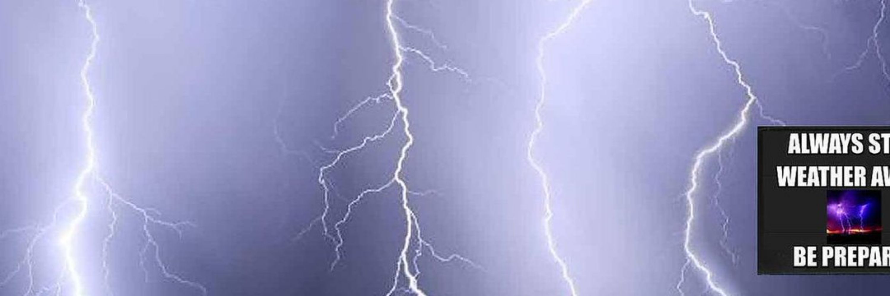
*Regardless of the method or source, you should ALWAYS STAY WEATHER AWARE as weather is ALWAYS changing*
(All weather, all the time)
TikTOK: https://www.tiktok.com/@alwaysstayweatheraware?lang=en
(All weather, all the time)
TikTOK: https://www.tiktok.com/@alwaysstayweatheraware?lang=en
Reposted by Johnny K
FROZEN SOLID DC -- to a degree we seldom see.
CWG photographer Kevin Ambrose (@dcstormchaser.bsky.social) visited and photographed the National Mall on Sunday morning -- after two weeks straight of mostly freezing weather. Here are four of his photos.
CWG photographer Kevin Ambrose (@dcstormchaser.bsky.social) visited and photographed the National Mall on Sunday morning -- after two weeks straight of mostly freezing weather. Here are four of his photos.


February 9, 2026 at 1:12 AM
FROZEN SOLID DC -- to a degree we seldom see.
CWG photographer Kevin Ambrose (@dcstormchaser.bsky.social) visited and photographed the National Mall on Sunday morning -- after two weeks straight of mostly freezing weather. Here are four of his photos.
CWG photographer Kevin Ambrose (@dcstormchaser.bsky.social) visited and photographed the National Mall on Sunday morning -- after two weeks straight of mostly freezing weather. Here are four of his photos.


( #NWSIndianapolis): Cool Photo of the day: In this image of Lake Erie, you can see a HUGE crack (and several smaller ones) in the #ice sheet! #INwx #wx #wxsky

February 9, 2026 at 12:42 AM
( #NWSIndianapolis): Cool Photo of the day: In this image of Lake Erie, you can see a HUGE crack (and several smaller ones) in the #ice sheet! #INwx #wx #wxsky
Reposted by Johnny K
Beneficial rain looks to move across the Bay area Tuesday and into week. Odds support an above normal chance for rainfall through at least mid-February. Stay tuned as we iron out details with each approaching storm system. #CAwx https://x.com/NWSBayArea/status/2020636246524019079

February 8, 2026 at 11:25 PM
Beneficial rain looks to move across the Bay area Tuesday and into week. Odds support an above normal chance for rainfall through at least mid-February. Stay tuned as we iron out details with each approaching storm system. #CAwx https://x.com/NWSBayArea/status/2020636246524019079
Reposted by Johnny K

A split in the ice on Lake Erie as seen from a GOES Weather Satellite... #SpectrumNews1 #ncwx

February 8, 2026 at 11:55 PM
A split in the ice on Lake Erie as seen from a GOES Weather Satellite... #SpectrumNews1 #ncwx
( #NWSKeyWest): Last week was the COLDEST start to February for the #FloridaKeys in over 45 YEARS!
This graphic takes a look at how the average weekly temperature stacked up, as well as the COLDEST temperatures observed along the island chain.
#FLwx #KeyWest #MarathonFL #KeyLargo #wx #wxsky
This graphic takes a look at how the average weekly temperature stacked up, as well as the COLDEST temperatures observed along the island chain.
#FLwx #KeyWest #MarathonFL #KeyLargo #wx #wxsky

February 8, 2026 at 10:58 PM
( #NWSKeyWest): Last week was the COLDEST start to February for the #FloridaKeys in over 45 YEARS!
This graphic takes a look at how the average weekly temperature stacked up, as well as the COLDEST temperatures observed along the island chain.
#FLwx #KeyWest #MarathonFL #KeyLargo #wx #wxsky
This graphic takes a look at how the average weekly temperature stacked up, as well as the COLDEST temperatures observed along the island chain.
#FLwx #KeyWest #MarathonFL #KeyLargo #wx #wxsky
Reposted by Johnny K

A pattern change is soon to be upon us, with a west to east flow across the country that will keep polar air to our north, and favorable odds for temperatures to average above normal for the middle part of this month.

February 8, 2026 at 10:41 PM
A pattern change is soon to be upon us, with a west to east flow across the country that will keep polar air to our north, and favorable odds for temperatures to average above normal for the middle part of this month.
Reposted by Johnny K

NYC this morning
February 8, 2026 at 12:38 PM
NYC this morning


February 8, 2026 at 12:20 PM
Reposted by Johnny K
Today, February 7th, is the 16th straight day with a temperature reaching single digits in #Rochester NY. This streak should reach 18 days, and may make a run at the all-time longest streak of 19 straight days set back in February of 1979. #Brrr
February 7, 2026 at 7:41 PM
Today, February 7th, is the 16th straight day with a temperature reaching single digits in #Rochester NY. This streak should reach 18 days, and may make a run at the all-time longest streak of 19 straight days set back in February of 1979. #Brrr
Reposted by Johnny K

The first 6 days of February are 1.9F above normal for the Contiguous U.S.

February 7, 2026 at 4:29 PM
The first 6 days of February are 1.9F above normal for the Contiguous U.S.
Reposted by Johnny K

The last week has been exceptionally amplified. The average temps for the 7 day stretch were 10-20° F above normal West, 10-15° East. That’s not an easy feat! 100s of records broken!

February 7, 2026 at 5:42 PM
The last week has been exceptionally amplified. The average temps for the 7 day stretch were 10-20° F above normal West, 10-15° East. That’s not an easy feat! 100s of records broken!
Reposted by Johnny K

14-day Power Outage Loop. Still ~20,000 without power from the ice storm in Mississippi!
x.com/PowerOutage_...
x.com/PowerOutage_...
February 7, 2026 at 5:43 PM
14-day Power Outage Loop. Still ~20,000 without power from the ice storm in Mississippi!
x.com/PowerOutage_...
x.com/PowerOutage_...
Reposted by Johnny K

FREEZING COLD
This morning we recorded a -27° windchill at 6:40AM in Buffalo. Not including the raw number (this is rounded) this now puts 2026 at the 25th coldest year in terms of minimum wind chill since 1930! #Buffalo #WNY #NYwx #wxonthe1s
This morning we recorded a -27° windchill at 6:40AM in Buffalo. Not including the raw number (this is rounded) this now puts 2026 at the 25th coldest year in terms of minimum wind chill since 1930! #Buffalo #WNY #NYwx #wxonthe1s

February 7, 2026 at 5:56 PM
FREEZING COLD
This morning we recorded a -27° windchill at 6:40AM in Buffalo. Not including the raw number (this is rounded) this now puts 2026 at the 25th coldest year in terms of minimum wind chill since 1930! #Buffalo #WNY #NYwx #wxonthe1s
This morning we recorded a -27° windchill at 6:40AM in Buffalo. Not including the raw number (this is rounded) this now puts 2026 at the 25th coldest year in terms of minimum wind chill since 1930! #Buffalo #WNY #NYwx #wxonthe1s
Reposted by Johnny K

One week until #Valentine's Day and #Spring is just over 40 days away.
Whether or not you're excited for spring-time weather .. temps are going to slowly warm up in the next few days with most high temps in the 30s beginning Monday.
www.wsaw.com/weather
Whether or not you're excited for spring-time weather .. temps are going to slowly warm up in the next few days with most high temps in the 30s beginning Monday.
www.wsaw.com/weather

February 7, 2026 at 6:01 PM
One week until #Valentine's Day and #Spring is just over 40 days away.
Whether or not you're excited for spring-time weather .. temps are going to slowly warm up in the next few days with most high temps in the 30s beginning Monday.
www.wsaw.com/weather
Whether or not you're excited for spring-time weather .. temps are going to slowly warm up in the next few days with most high temps in the 30s beginning Monday.
www.wsaw.com/weather


February 7, 2026 at 12:21 PM
Reposted by Johnny K
STRONG MESSAGING about the seriousness of the cold and wind on Saturday from the National Weather Service. Power outages possible. Longest period with subzero wind chills in 30+ years.
A good day to stay inside, or bundle up big time if you have to be outside.
A good day to stay inside, or bundle up big time if you have to be outside.

February 7, 2026 at 4:06 AM
STRONG MESSAGING about the seriousness of the cold and wind on Saturday from the National Weather Service. Power outages possible. Longest period with subzero wind chills in 30+ years.
A good day to stay inside, or bundle up big time if you have to be outside.
A good day to stay inside, or bundle up big time if you have to be outside.
Reposted by Johnny K
NYC is under an extreme cold warning for the 1st time, this weekend. Arctic blast bringing snow, 50 mph winds and coldest conditions in 3 years.


February 7, 2026 at 3:04 AM
NYC is under an extreme cold warning for the 1st time, this weekend. Arctic blast bringing snow, 50 mph winds and coldest conditions in 3 years.
Reposted by Johnny K

⏩ TIMELAPSE: Warm sunset colors ushered in a cold night in Toledo, with clearing skies here and snow showers remaining east this evening.
#Toledo #sunset #timelapse
#Toledo #sunset #timelapse
February 7, 2026 at 12:38 AM
⏩ TIMELAPSE: Warm sunset colors ushered in a cold night in Toledo, with clearing skies here and snow showers remaining east this evening.
#Toledo #sunset #timelapse
#Toledo #sunset #timelapse
Reposted by Johnny K
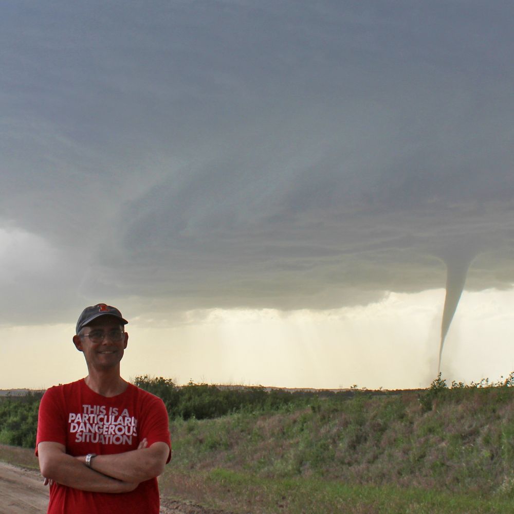
Unfortunately, pseudoscience is on full display at Chaser Summit this year 🐍 🛢️

February 7, 2026 at 12:48 AM
Unfortunately, pseudoscience is on full display at Chaser Summit this year 🐍 🛢️
( #NWSWPC): ⚠️ Tonight and This Weekend ⚠️
VERY #COLD air 🥶 and STRONG WINDS 🌬️ will lead to both DANGEROUS wind chills and the potential for isolated power outages across the Mid-Atlantic and Northeast #UnitedStates
🔗 Check local forecasts and warnings at: www.weather.gov
#USwx #wx #wxsky
VERY #COLD air 🥶 and STRONG WINDS 🌬️ will lead to both DANGEROUS wind chills and the potential for isolated power outages across the Mid-Atlantic and Northeast #UnitedStates
🔗 Check local forecasts and warnings at: www.weather.gov
#USwx #wx #wxsky

February 6, 2026 at 10:23 PM
( #NWSWPC): ⚠️ Tonight and This Weekend ⚠️
VERY #COLD air 🥶 and STRONG WINDS 🌬️ will lead to both DANGEROUS wind chills and the potential for isolated power outages across the Mid-Atlantic and Northeast #UnitedStates
🔗 Check local forecasts and warnings at: www.weather.gov
#USwx #wx #wxsky
VERY #COLD air 🥶 and STRONG WINDS 🌬️ will lead to both DANGEROUS wind chills and the potential for isolated power outages across the Mid-Atlantic and Northeast #UnitedStates
🔗 Check local forecasts and warnings at: www.weather.gov
#USwx #wx #wxsky
( #NWS_BaltWash): An #ARCTIC front will bring DAMAGING WINDS to the area late tonight-Saturday.
The STRONGEST surge of WIND between daybreak Saturday through mid-afternoon. Gusts of 45-60 mph are expected for most with locally higher gusts. Plan for instances of WIND DAMAGE & power outages. #DCwx
The STRONGEST surge of WIND between daybreak Saturday through mid-afternoon. Gusts of 45-60 mph are expected for most with locally higher gusts. Plan for instances of WIND DAMAGE & power outages. #DCwx

February 6, 2026 at 10:20 PM
( #NWS_BaltWash): An #ARCTIC front will bring DAMAGING WINDS to the area late tonight-Saturday.
The STRONGEST surge of WIND between daybreak Saturday through mid-afternoon. Gusts of 45-60 mph are expected for most with locally higher gusts. Plan for instances of WIND DAMAGE & power outages. #DCwx
The STRONGEST surge of WIND between daybreak Saturday through mid-afternoon. Gusts of 45-60 mph are expected for most with locally higher gusts. Plan for instances of WIND DAMAGE & power outages. #DCwx
( #NWSSaltLakeCity): You might be wondering...when is the last time #SaltLakeCity received 1 inch of #snow?
At the SLC Airport, the answer is 3/18/25, making it 324 DAYS since the last inch of snowfall - the LONGEST stretch since 1890-91. #Utah #UTwx #wx #wxsky
At the SLC Airport, the answer is 3/18/25, making it 324 DAYS since the last inch of snowfall - the LONGEST stretch since 1890-91. #Utah #UTwx #wx #wxsky

February 6, 2026 at 10:17 PM
( #NWSSaltLakeCity): You might be wondering...when is the last time #SaltLakeCity received 1 inch of #snow?
At the SLC Airport, the answer is 3/18/25, making it 324 DAYS since the last inch of snowfall - the LONGEST stretch since 1890-91. #Utah #UTwx #wx #wxsky
At the SLC Airport, the answer is 3/18/25, making it 324 DAYS since the last inch of snowfall - the LONGEST stretch since 1890-91. #Utah #UTwx #wx #wxsky
Reposted by Johnny K

This weekend, a weak atmospheric river will bring moderate to locally heavy rainfall to the Pacific Northwest which could result in isolated flooding. Higher elevations of the Cascades will likely see some snowfall.
For the latest forecast stay up to date with your local NWS office at weather.gov.
For the latest forecast stay up to date with your local NWS office at weather.gov.

February 6, 2026 at 7:47 PM
This weekend, a weak atmospheric river will bring moderate to locally heavy rainfall to the Pacific Northwest which could result in isolated flooding. Higher elevations of the Cascades will likely see some snowfall.
For the latest forecast stay up to date with your local NWS office at weather.gov.
For the latest forecast stay up to date with your local NWS office at weather.gov.
Reposted by Johnny K
NEARING RECORD COLD
NWS in Buffalo mentioned in their forecast that the air just under a mile up could challenge the COLDEST February temperatures ever. They say we could see -18.4F air above us which would fall just shy of the -19.3F recorded on Feb 13, 2016.
#Buffalo #WNy #NYwx #wxonthe1s
NWS in Buffalo mentioned in their forecast that the air just under a mile up could challenge the COLDEST February temperatures ever. They say we could see -18.4F air above us which would fall just shy of the -19.3F recorded on Feb 13, 2016.
#Buffalo #WNy #NYwx #wxonthe1s

February 6, 2026 at 8:16 PM
NEARING RECORD COLD
NWS in Buffalo mentioned in their forecast that the air just under a mile up could challenge the COLDEST February temperatures ever. They say we could see -18.4F air above us which would fall just shy of the -19.3F recorded on Feb 13, 2016.
#Buffalo #WNy #NYwx #wxonthe1s
NWS in Buffalo mentioned in their forecast that the air just under a mile up could challenge the COLDEST February temperatures ever. They say we could see -18.4F air above us which would fall just shy of the -19.3F recorded on Feb 13, 2016.
#Buffalo #WNy #NYwx #wxonthe1s