Scott
banner
isothermalwx.bsky.social
Scott
@isothermalwx.bsky.social
NWS Meteorologist Weather Prediction Center. In search of a snowstorm ❄️ Avid foodie 🍽️ Baltimore Sports Fan ⚾️🏈 Proud Marylander 🦀

**Thoughts are 100% my own and do not represent the thoughts of my employer!!**
Pinned
Hello everyone!! My name is Scott. I am a meteorologist with the Weather Prediction Center focused in the QPF/ERO focal duties, primarily ERO. I also work some of the winter desks here at the National Center and participate in outreach opportunities for the center. Feel free to follow! 🙂
Another year is about to head into the books and I’m looking for this year to be over. Wasn’t a great year for me in the grand scheme. Some good, but a lot of meh or terrible.

Been a while since things have been truly great for me. Hopefully someday that will change.

Goodbye 2024
December 31, 2024 at 3:02 AM
Reposted by Scott
Got to visit the NCWCP (NOAA Center for Weather and Climate Prediction) in Maryland earlier this month. So proud of the work that I'm doing for the NWS.
December 24, 2024 at 8:48 PM
Reposted by Scott
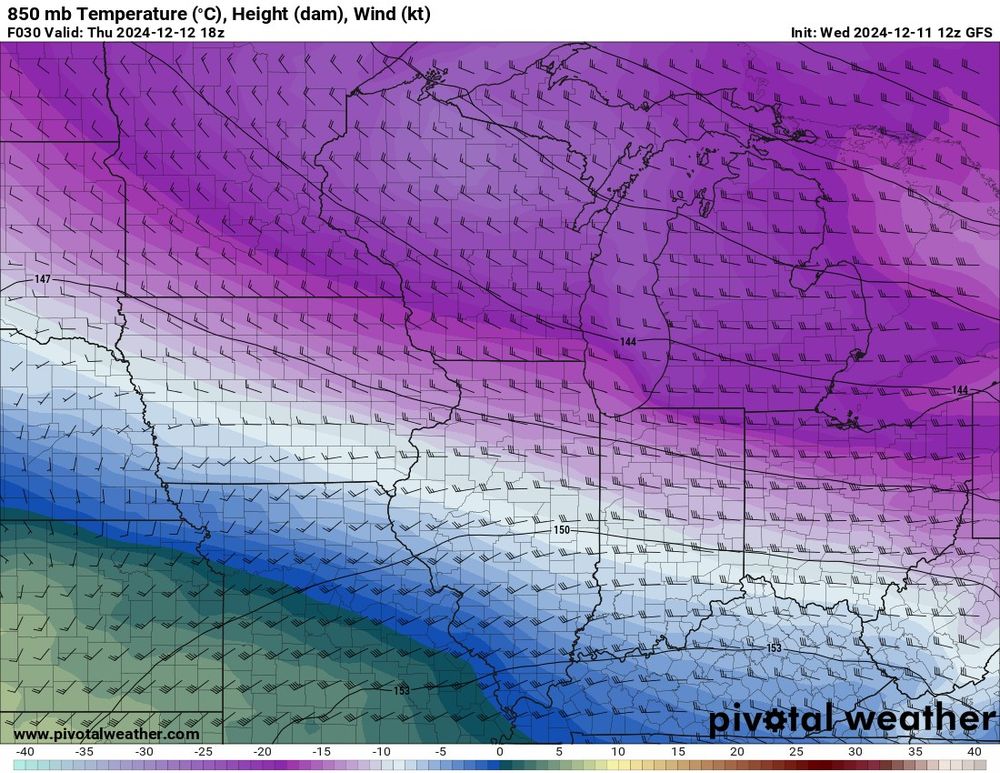
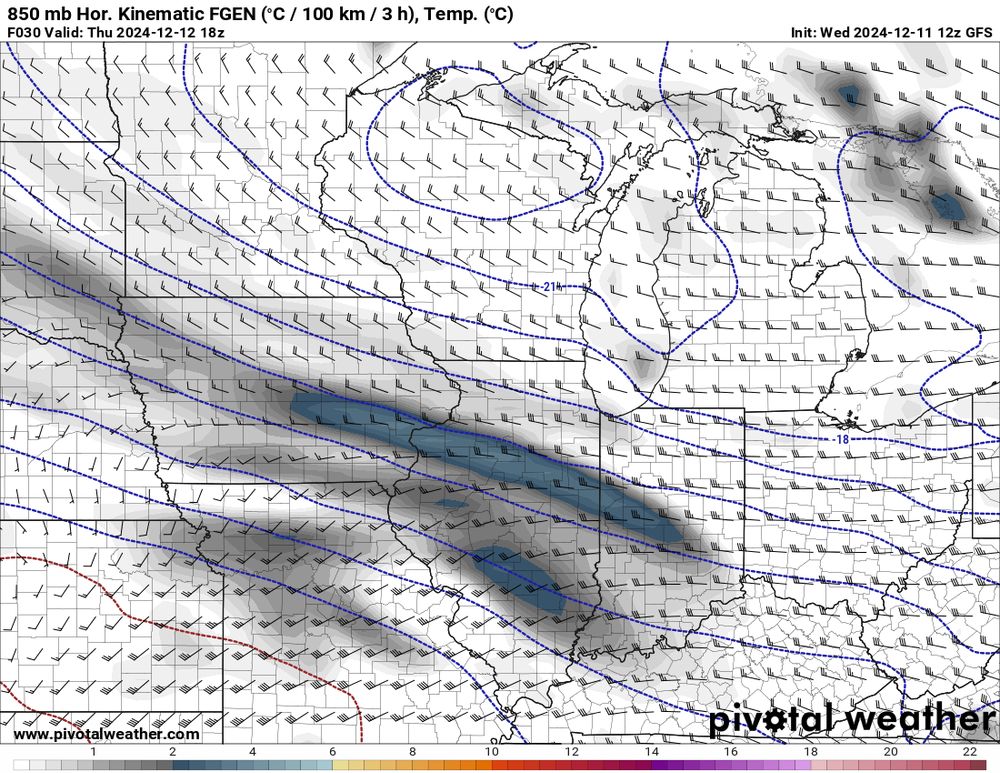
Tomorrow, models indicate that a narrow, east-west oriented frontogenetically forced band of snow will develop across central Illinois in a broad deformation pattern. 1/4
December 11, 2024 at 4:03 PM
Reposted by Scott
Who wants to see the worst pie chart of the year #dataviz
December 12, 2024 at 11:21 PM
Reposted by Scott
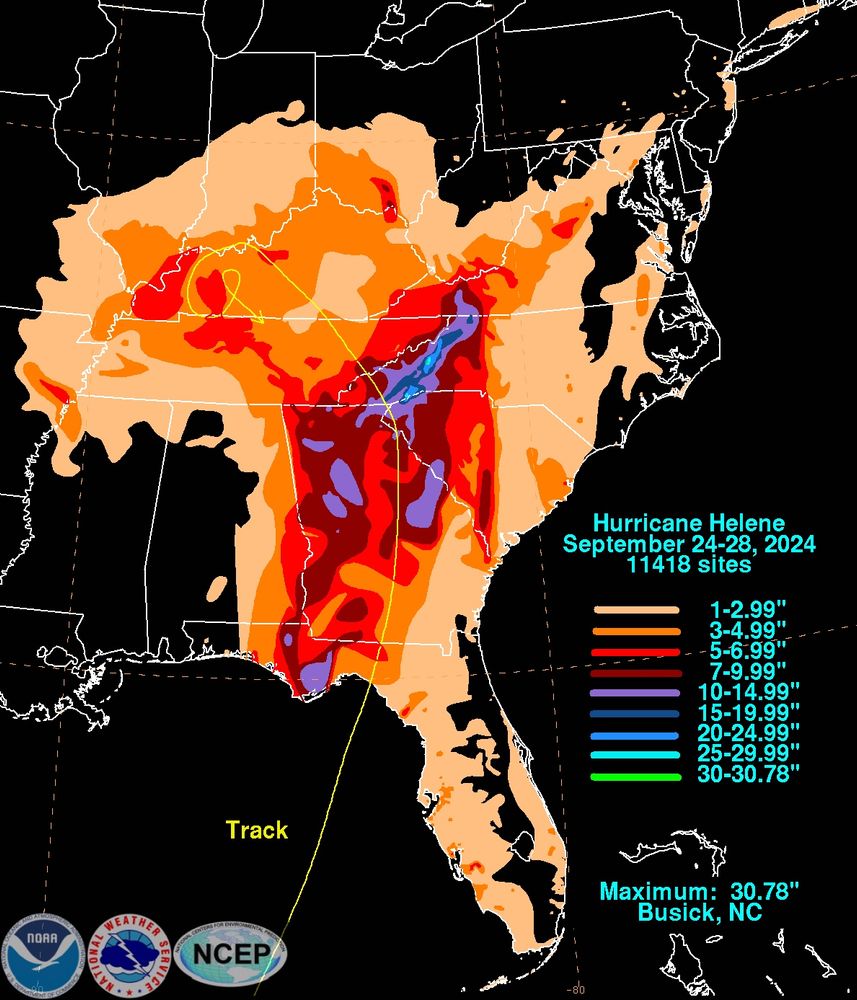
The preliminary Helene (2024) rainfall graphics are available.

This one is here: www.wpc.ncep.noaa.gov/tropical/rai...
December 12, 2024 at 9:59 PM
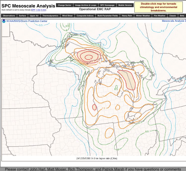
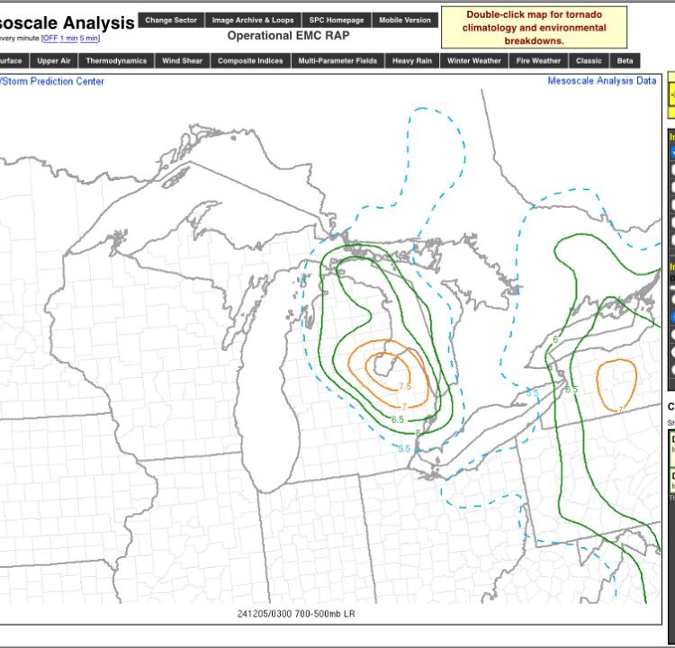
This is a truly classic snow squall event unfolding for the Great Lakes, Ohio Valley, into the Mid Atlantic. Those low to mid level lapse rates are pretty wicked. Michigan pretty much exhibiting one of the better environments for significant snow squall potential at any point in the season.
December 5, 2024 at 3:23 AM
Once the shortwave ejection out of Ontario rounds the base of the ULL over Canada, that band will fully mature and then off we go to a mega band that will likely push 4”/hr in spots between Adams Center to Watertown. The show is just now starting.

Good showing, Matt!
That is some convective lake effect snow coming off Lake Ontario into the Tug Hill. Whew. Not quite megaband status yet but not far off.
November 30, 2024 at 2:56 AM
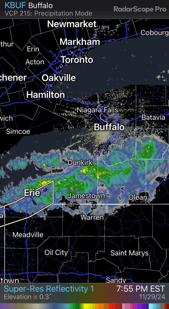
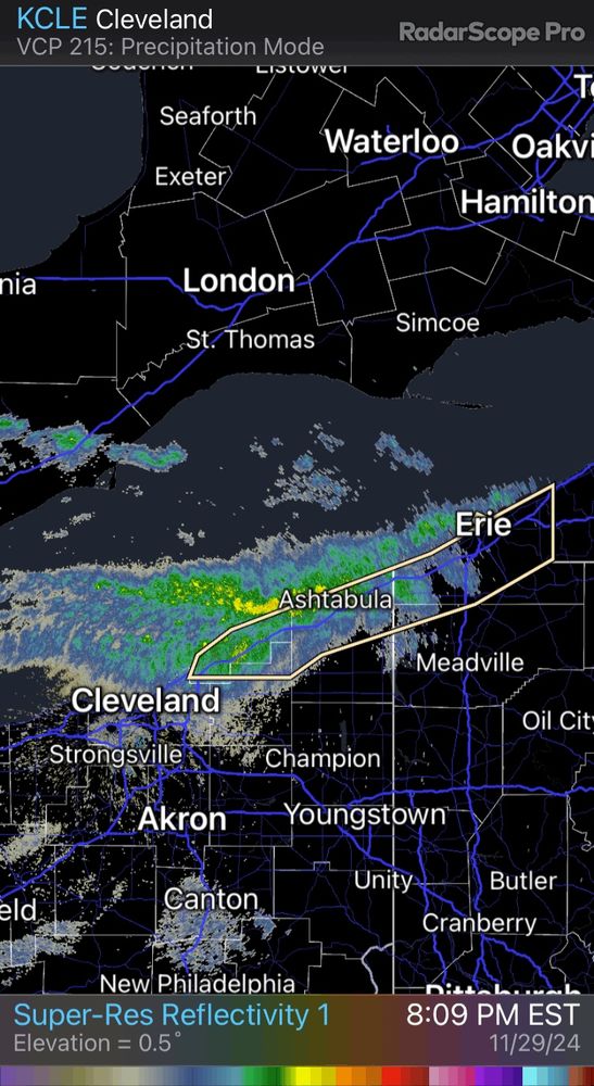
The event going on across the southern Lake Erie shores and just inland will be remembered by many living in the area. Totals over 4’ are looking increasingly likely from NE Ohio all the way to the Buffalo Southtowns near Hamburg and surrounds.
November 30, 2024 at 2:53 AM
We JUST fell short of the 18” mark out in Western MD and Northern WV. Lots of 12-17” totals out in Garrett Co. down through Tucker Co. in WV. Quite a good start to the winter season out in those parts.
Quite the event in the terrain of PA/MD/WV with this system. Wouldn’t be surprised to see some 18-22” totals in the primed upslope areas of the mountains of Western PA down through Western MD and Northern WV.
At 2:20 PM EST, Tobyhanna [Monroe Co, PA] Trained Spotter reports Snow of 13.00 Inch #pawx Link
November 23, 2024 at 9:24 PM
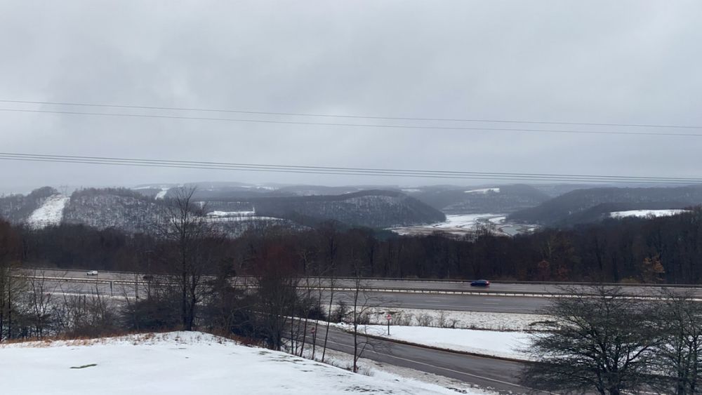
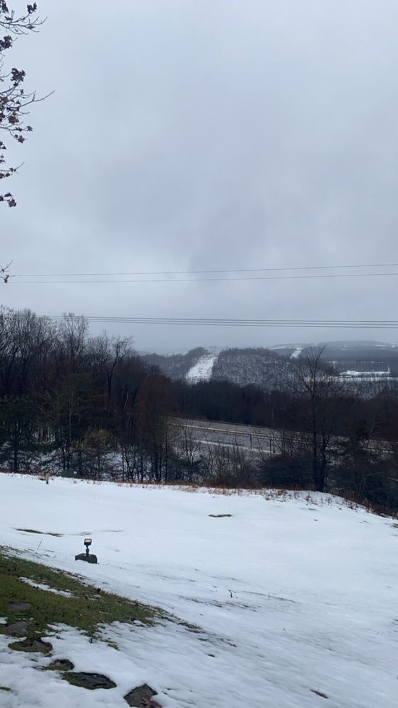
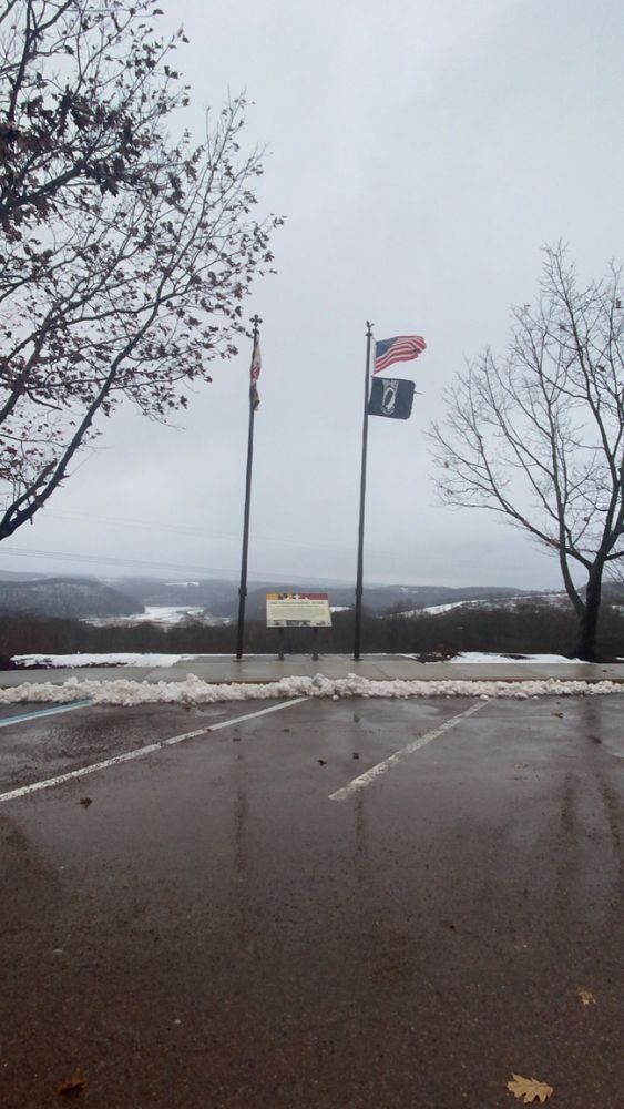
Was a beautiful sight towards the top near Keysers Ridge in Western MD earlier. The season has officially begun for the mountains!!
November 23, 2024 at 9:19 PM
Quite the event in the terrain of PA/MD/WV with this system. Wouldn’t be surprised to see some 18-22” totals in the primed upslope areas of the mountains of Western PA down through Western MD and Northern WV.
At 2:20 PM EST, Tobyhanna [Monroe Co, PA] Trained Spotter reports Snow of 13.00 Inch #pawx Link
November 22, 2024 at 10:31 PM
Reposted by Scott
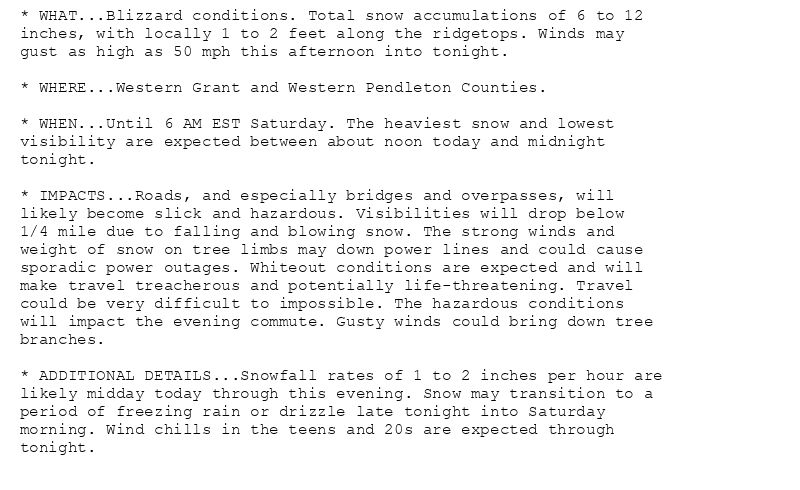
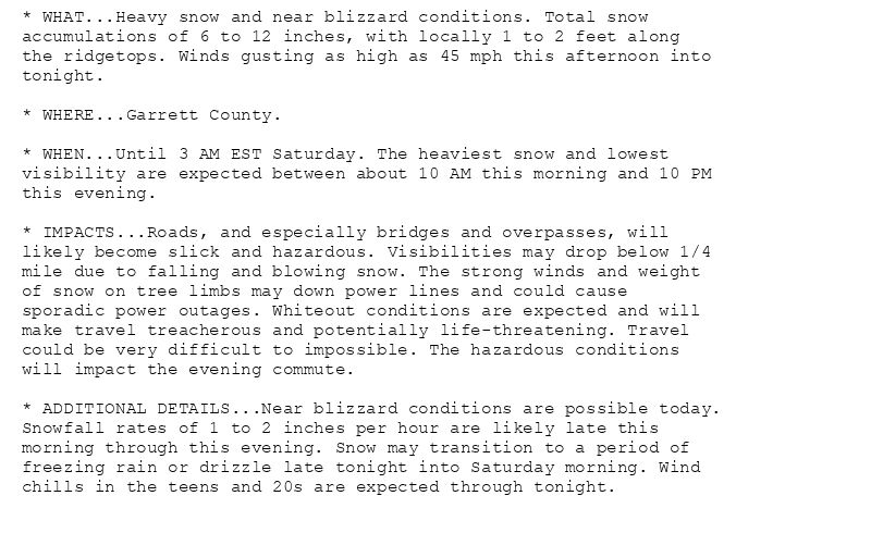
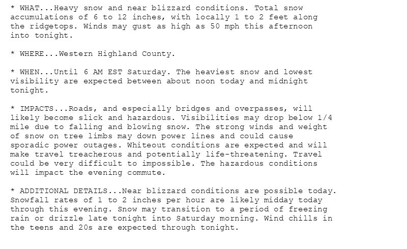
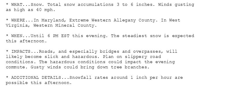
🚨🚨🚨 Blizzard Warning issued November 22 at 9:22AM EST until November 23 at 6:00AM EST by NWS Baltimore MD/Washington DC 🚨🚨🚨
Additional Details Here.(1/2)
November 22, 2024 at 2:30 PM
Reposted by Scott
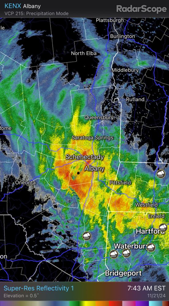
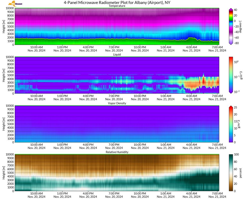
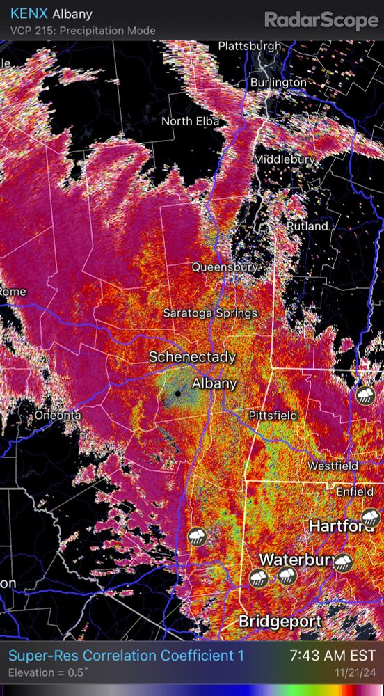
It’s snowing out there this morning….just several thousand feet above us and melting into rain!! This is leading to radar bright banding.

Freezing levels are at ~3000 feet and lowering in the Capital District. Time-height plot from the NYS Mesonet profiler network. #nywx
November 21, 2024 at 1:33 PM
Reposted by Scott
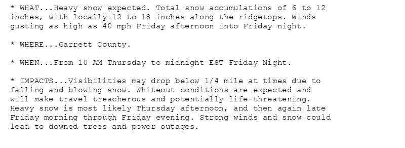
🚨 Winter Storm Warning issued November 20 at 11:24PM EST until November 23 at 12:00AM EST by NWS Baltimore MD/Washington DC 🚨
Additional Details Here.
November 21, 2024 at 4:30 AM
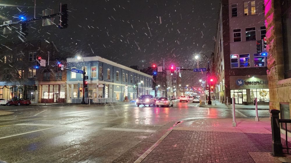
I don’t think you guys know how ready I am to nerd out over this upcoming Winter Season in the Northeast on this platform.

It’s like my college days all over again!! 😍
November 20, 2024 at 3:54 AM
Reposted by Scott
And so it begins up in the Forks.

📍 Grand Forks, North Dakota moments ago #NDwx
November 20, 2024 at 1:21 AM
Reposted by Scott
However many times this was on your feed today, it wasn’t enough. Absolute perfection.
November 20, 2024 at 12:43 AM
Reposted by Scott
Guess it is as good of a time as any to say this is my first week as a Senior Hurricane Specialist at NHC. Last month marked 4 years since I started at NHC & it has been an incredibly humbling yet fulfilling experience.

It is an honor to keep on doing what I love, to help save lives & property. 🌀

November 19, 2024 at 12:27 AM
Reposted by Scott
This place could use a chunky dose of delicious satellite imagery.

So here are some of my favorites I've shared over the years.

Impossible to not start with the unbeatable, the epic...

von Karman vortices
November 19, 2024 at 2:41 AM
Reposted by Scott
A major development in western North Carolina.

After a 53-day water crisis brought on by Hurricane Helene, Asheville's tap water is clear to drink.
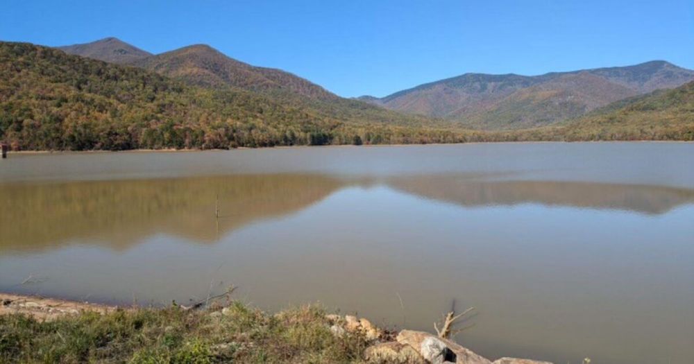
Asheville taps are clear to drink; boil water notice lifted
The City of Asheville lifted the boil water notice this morning.
www.wunc.org
November 18, 2024 at 5:38 PM
Reposted by Scott
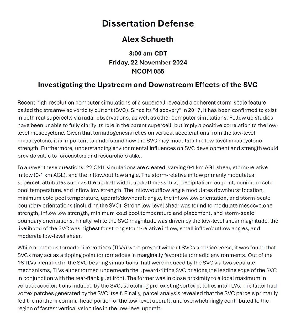
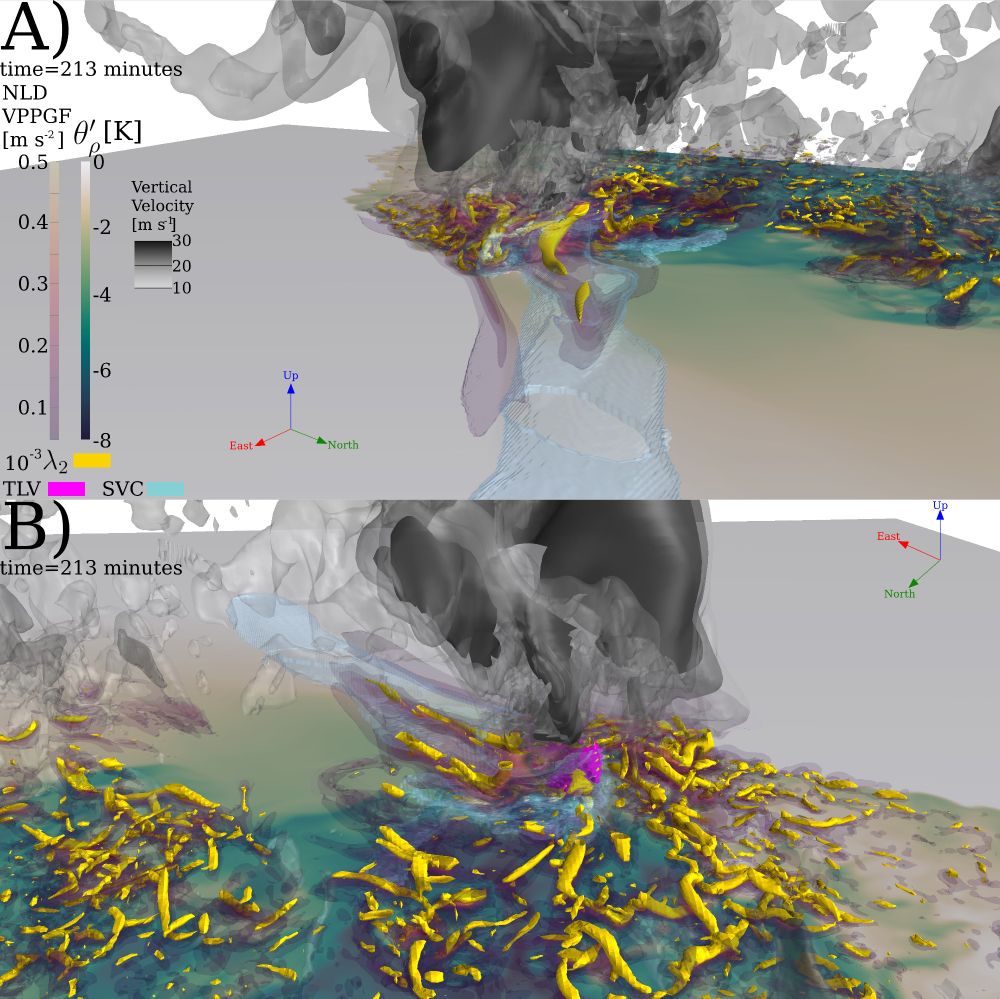
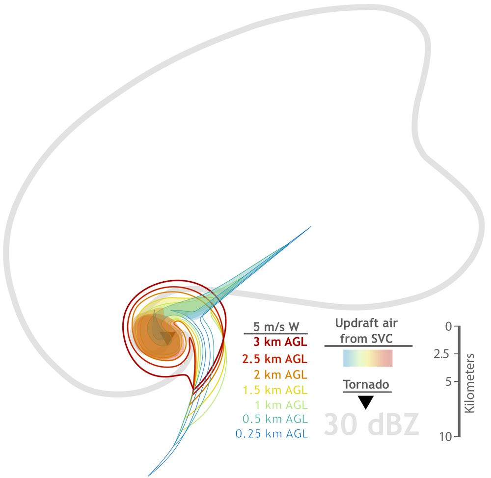
I will be defending my doctoral dissertation this Friday, November 22 at 8 am CST over the environmental factors that can lead to and modulate the streamwise vorticity current (SVC) in a supercell, and how that may impact tornadogenesis. If interested in attending, DM me and I will send a zoom link!
November 18, 2024 at 6:12 PM
Reposted by Scott
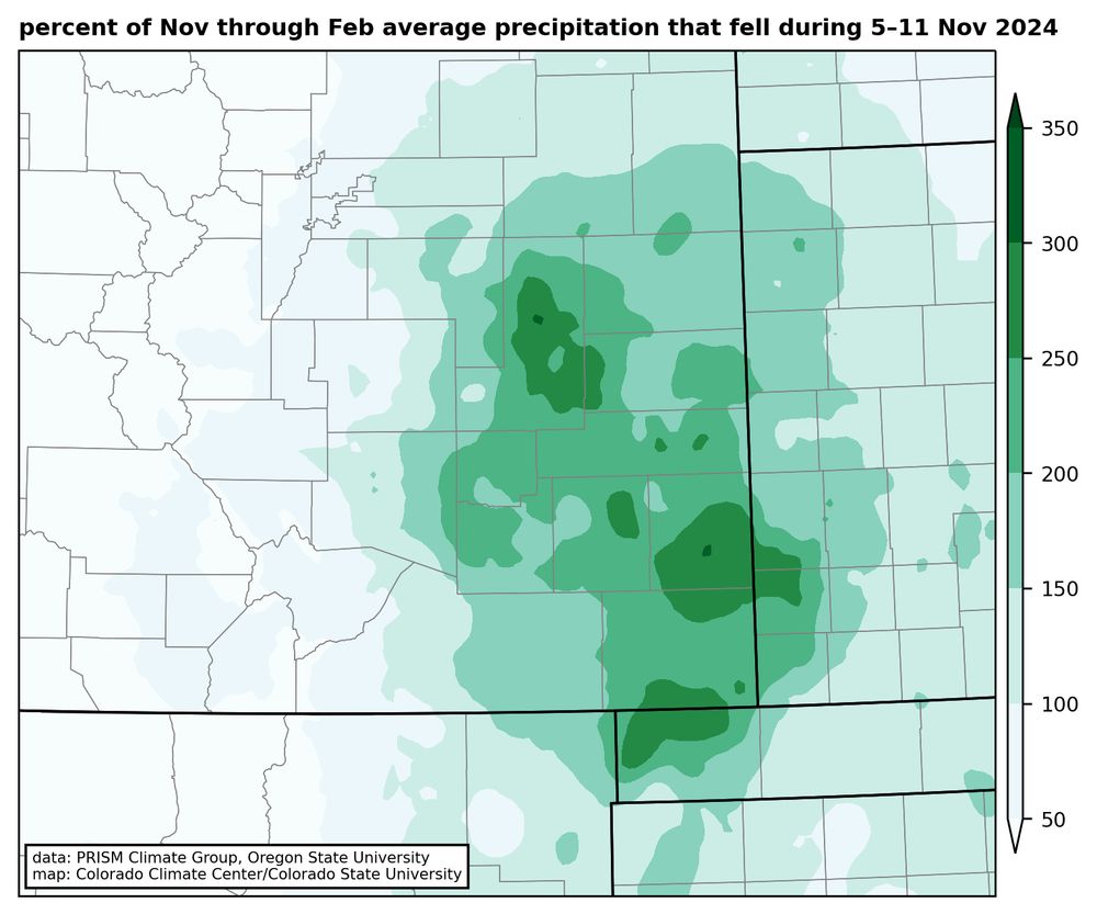
Blog recap of this month's huge snowstorm, the biggest since 1946 in much of southeastern CO. And lots of precip too: the liquid that fell from this storm was more than twice the average amount for the Nov-through-Feb period in many spots. Read on for more:
climate.colostate.edu/blog/index.p...
November 18, 2024 at 2:47 PM
Reposted by Scott
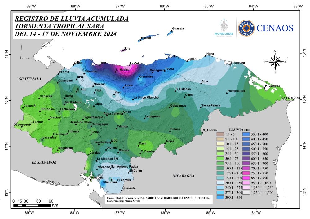
Storm total precipitation from Tropical Storm Sara in Honduras. More that 1000 millimeters (40 inches) in La Ceiba. (from COPECO)
November 18, 2024 at 1:08 PM
Reposted by Scott
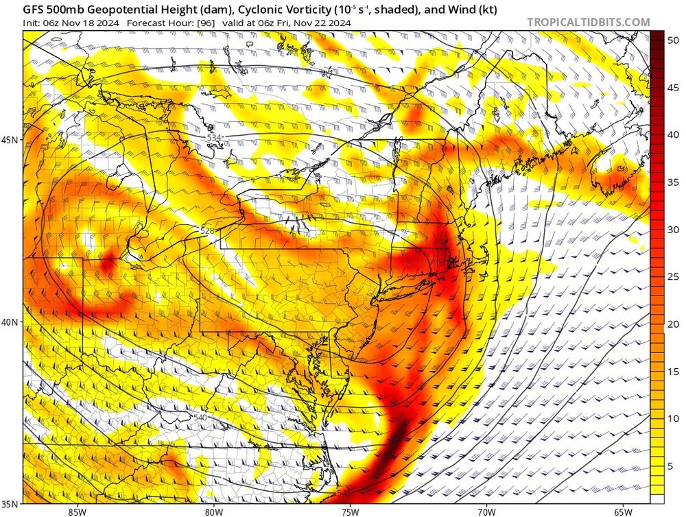
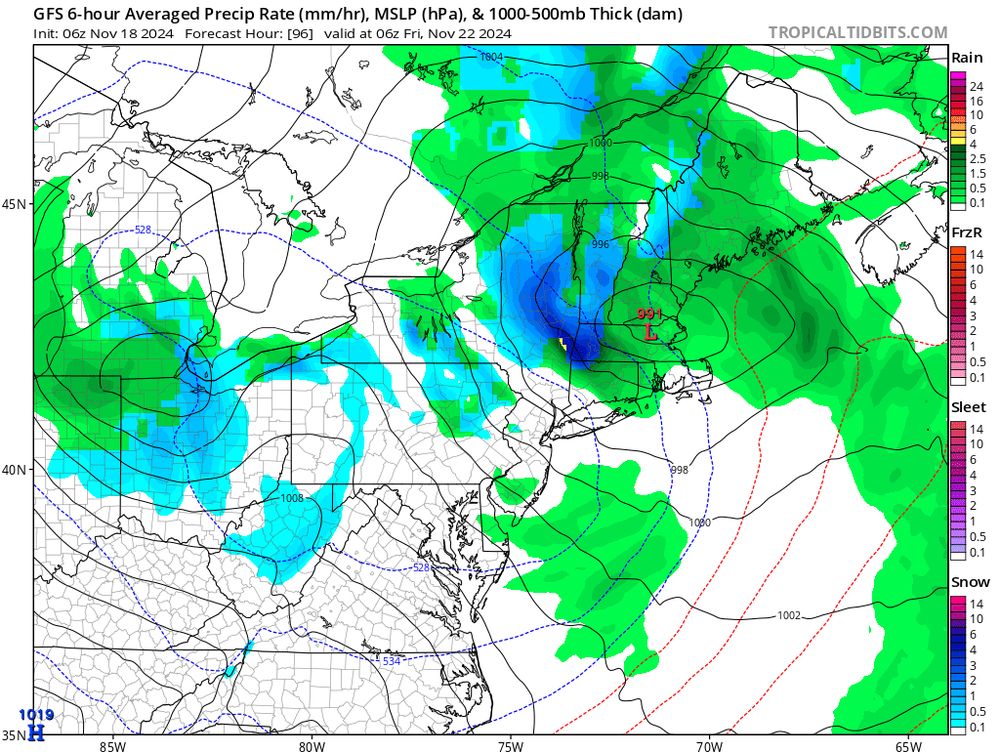
Classic setup for a pivoting band of heavy snow, first of the season, for parts of upstate #NYwx and western New England on the northern edge of a strong upper-level low.

Currently Adirondacks - southern Greens - Berkshires favored for some natural boost to early season skiing
November 18, 2024 at 3:00 PM
Reposted by Scott
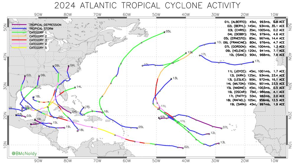
Now that Tropical Storm #Sara has dissipated, here is the updated track map for the 2024 Atlantic #HurricaneSeason.
November 18, 2024 at 3:41 PM