


Ryan
@ryanhanrahan.bsky.social
Meteorologist, Skier, Traveler (in no particular order).
Beast of a supercell heading into West Virginia with a huge TBSS and sidelobe spike.


April 14, 2025 at 9:02 PM
Beast of a supercell heading into West Virginia with a huge TBSS and sidelobe spike.

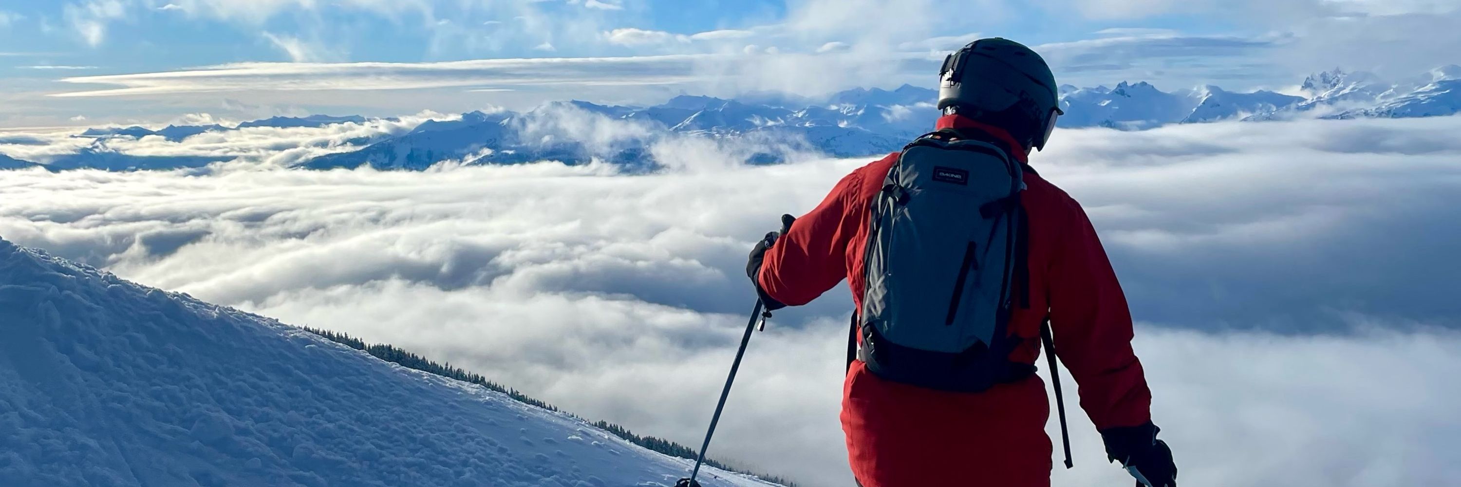
@professorpowder.bsky.social Just returned from 5 days in Niseko and I was astounded at the snowflake quality (and the skiing!). Does the presence of sea salt as ice nuclei from the Sea of Japan in any way improve snowflake/dendritic production?
March 11, 2025 at 1:07 AM
@professorpowder.bsky.social Just returned from 5 days in Niseko and I was astounded at the snowflake quality (and the skiing!). Does the presence of sea salt as ice nuclei from the Sea of Japan in any way improve snowflake/dendritic production?
Reposted by Ryan

I am heartbroken for my NWS colleagues today.
Working in the weather field is a calling many of us feel in our bones. We are drawn to the power and beauty of the atmosphere and joined in a desire to help and serve others.
To everyone affected, I am sorry.
Working in the weather field is a calling many of us feel in our bones. We are drawn to the power and beauty of the atmosphere and joined in a desire to help and serve others.
To everyone affected, I am sorry.
February 28, 2025 at 2:50 AM
I am heartbroken for my NWS colleagues today.
Working in the weather field is a calling many of us feel in our bones. We are drawn to the power and beauty of the atmosphere and joined in a desire to help and serve others.
To everyone affected, I am sorry.
Working in the weather field is a calling many of us feel in our bones. We are drawn to the power and beauty of the atmosphere and joined in a desire to help and serve others.
To everyone affected, I am sorry.

High probability for excessive snowfall rates later this evening. Up to 2" per hour kind of rates around midnight for parts of Connecticut. Not a big storm but most of what we get will fall in a short window.


February 8, 2025 at 2:44 PM
High probability for excessive snowfall rates later this evening. Up to 2" per hour kind of rates around midnight for parts of Connecticut. Not a big storm but most of what we get will fall in a short window.
Wow - 74 knot gust at Shannon (EINN) METAR: EINN 240330Z 23051G74KT 5000 -SHRA FEW018CB BKN023 07/04 Q0967 NOSIG
January 24, 2025 at 3:35 AM
Wow - 74 knot gust at Shannon (EINN) METAR: EINN 240330Z 23051G74KT 5000 -SHRA FEW018CB BKN023 07/04 Q0967 NOSIG
Storm Eowyn is a beast tonight as it heads toward Ireland.

At buoy M6 about 200 miles west of Ireland, the pressure bottomed out at 944 mb this evening, and winds peaked at sustained 68 mph, gusting to 98 mph, at about 8:30 pm EST. Ireland buoy data here: www.marine.ie/site-area/da...

January 24, 2025 at 2:05 AM
Storm Eowyn is a beast tonight as it heads toward Ireland.
Reposted by Ryan

The Florida state snowfall record appears to have fallen.
From Molino, FL.
Passed along by NWS Mobile.
From Molino, FL.
Passed along by NWS Mobile.

January 22, 2025 at 12:23 AM
The Florida state snowfall record appears to have fallen.
From Molino, FL.
Passed along by NWS Mobile.
From Molino, FL.
Passed along by NWS Mobile.
Wild!
KMSY 211533Z 36013G27KT 1/4SM +SN FZFG BKN009 OVC014 M03/M04 A3057 RMK AO2 PK WND 03031/1454 PRESRR P0001 T10281039 RVRNO $
KMSY 211533Z 36013G27KT 1/4SM +SN FZFG BKN009 OVC014 M03/M04 A3057 RMK AO2 PK WND 03031/1454 PRESRR P0001 T10281039 RVRNO $
January 21, 2025 at 3:46 PM
Wild!
KMSY 211533Z 36013G27KT 1/4SM +SN FZFG BKN009 OVC014 M03/M04 A3057 RMK AO2 PK WND 03031/1454 PRESRR P0001 T10281039 RVRNO $
KMSY 211533Z 36013G27KT 1/4SM +SN FZFG BKN009 OVC014 M03/M04 A3057 RMK AO2 PK WND 03031/1454 PRESRR P0001 T10281039 RVRNO $
Reposted by Ryan

Not sure how often such climatologically extreme scenarios happen - record-setting <942mb low off Ireland contrasted with a record-setting >1064mb high over Kazakhstan this coming Friday:

January 20, 2025 at 10:14 PM
Not sure how often such climatologically extreme scenarios happen - record-setting <942mb low off Ireland contrasted with a record-setting >1064mb high over Kazakhstan this coming Friday:
Just incredible. Congrats New Orleans!

January 20, 2025 at 10:01 PM
Just incredible. Congrats New Orleans!
Reposted by Ryan
Live coverage via NBC4 LA www.nbclosangeles.com and Telemundo 52 www.telemundo52.com
January 9, 2025 at 8:18 PM
Live coverage via NBC4 LA www.nbclosangeles.com and Telemundo 52 www.telemundo52.com
Whoa!

8:30 pm PT: ASOS at Burbank-Bob Hope Airport now sustained at 58 mph (50 kt) and gusting to 83 mph (72 kt), RH 17% #cawx

January 8, 2025 at 4:42 AM
Whoa!
Reposted by Ryan
NBC LA on the scene as a skilled nursing facility is being evacuated ahead of wildfires. Stretchers, wheelchairs, oxygen tanks (!), etc.

January 8, 2025 at 4:37 AM
NBC LA on the scene as a skilled nursing facility is being evacuated ahead of wildfires. Stretchers, wheelchairs, oxygen tanks (!), etc.
Reposted by Ryan

Radar and infrared heat signature from the Palisades Fire are indicative of continued high intensity of flames. Unfortunately, it looks like a new wildfire has started near Altadena. Winds will worsen overnight. Awful awful awful scenarios unfolding.


January 8, 2025 at 2:38 AM
Radar and infrared heat signature from the Palisades Fire are indicative of continued high intensity of flames. Unfortunately, it looks like a new wildfire has started near Altadena. Winds will worsen overnight. Awful awful awful scenarios unfolding.
Reposted by Ryan

The model spread through the end of this week (days 3-5) has massive ramifications for the Northeast this weekend. Complex evolution, with high ceiling on impact. I don’t envy those forecasting for this timeframe.


January 6, 2025 at 6:07 PM
The model spread through the end of this week (days 3-5) has massive ramifications for the Northeast this weekend. Complex evolution, with high ceiling on impact. I don’t envy those forecasting for this timeframe.
Forecasting 1F at BDL tonight which would be the coldest night of the year! This will be the coldest night since February 4, 2023 (when it was -9F)!

December 22, 2024 at 9:16 PM
Forecasting 1F at BDL tonight which would be the coldest night of the year! This will be the coldest night since February 4, 2023 (when it was -9F)!
AirTag is in SLC but my skis are with me in Boston somehow! 🤷♂️

December 17, 2024 at 11:46 PM
AirTag is in SLC but my skis are with me in Boston somehow! 🤷♂️
53 knots at MVY from this one

December 12, 2024 at 3:41 AM
53 knots at MVY from this one
The low level jet has shifted east and with it the damaging wind threat is quite a bit lower here in CT. Some scattered power outages but overall it doesn't look like too big of a deal.

December 11, 2024 at 10:05 PM
The low level jet has shifted east and with it the damaging wind threat is quite a bit lower here in CT. Some scattered power outages but overall it doesn't look like too big of a deal.
Nice looking wind signature for tomorrow in Hartford with 56 knots at the top of the mixed layer!

December 11, 2024 at 4:03 AM
Nice looking wind signature for tomorrow in Hartford with 56 knots at the top of the mixed layer!
Obsessively checking model data before a ski trip is exhausting. At least @professorpowder.bsky.social has made some awesome graphics for it.

December 10, 2024 at 9:25 PM
Obsessively checking model data before a ski trip is exhausting. At least @professorpowder.bsky.social has made some awesome graphics for it.
Quite the low level jet overhead Wednesday PM. Strength of the low level inversion still a bit of a question but 50 knot gusts certainly seem possible for much of CT.

December 10, 2024 at 2:48 AM
Quite the low level jet overhead Wednesday PM. Strength of the low level inversion still a bit of a question but 50 knot gusts certainly seem possible for much of CT.
Cold Air Damming season is here!

December 9, 2024 at 10:46 PM
Cold Air Damming season is here!