Permafrost researcher and curious Arctic explorer, observer of rapid change. Spent some years in Alaska and Siberia, now at AWI Potsdam.
Reposted by Guido Grosse

Today we would like to introduce you to the new chief editor team of our #cryoblog: please say hi to Mack and Leah! 🥳❄️
@mack-baysinger.bsky.social @leahsmuhle.bsky.social
We would also like to say thanks to our outgoing chief-editor team! 💙
blogs.egu.eu/divisions/cr...
Reposted by Guido Grosse


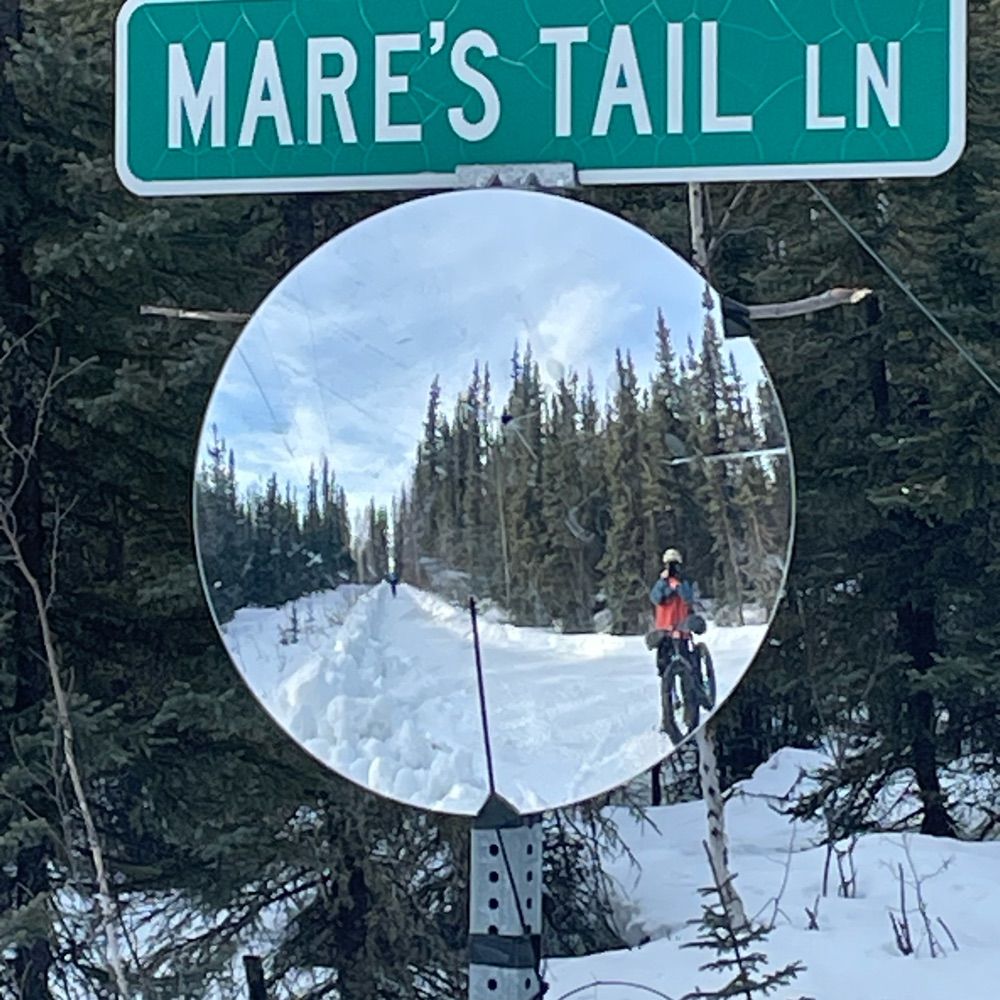
www.gtn-p.org
Reposted by Guido Grosse

www.awi.de/en/about-us/...
Reposted by Guido Grosse

The Maxar Open Data Program provides free high-resolution satellite imagery to support global disaster response and recovery. To date, it has released around 150,000 images totaling ~14 TB, all freely accessible through the AWS Open Data Program.


Reposted by Guido Grosse

theconversation.com/from-record-...
Reposted by Guido Grosse, John Mecklin

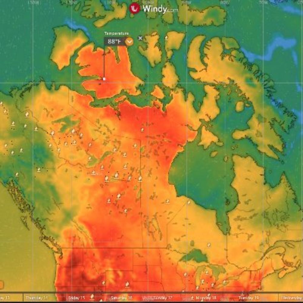
"New report finds the Arctic continues to warm faster than the planet as a whole"
www.npr.org/2025/12/16/n...
Reposted by Guido Grosse


Reposted by Guido Grosse

Reposted by Guido Grosse, Doerthe Tetzlaff, Dustin Mulvaney

theconversation.com/typhoon-leav...
Reposted by Guido Grosse

Reposted by David N. Thomas
Reposted by Guido Grosse

View local water level data (not all data is up to the minute):
🔗 water-level-watch.portal.aoos.org#metadata/100...
More info: awlw.aoos.org
@alaskaskies.bsky.social @alaskawx.bsky.social


Reposted by Richard Davy
Four global teams will combine AI, advanced observations & modeling to close major carbon cycle gaps, strengthening climate projections worldwide.
🔗 buff.ly/8WVpM9s
WIRED coverage: buff.ly/YsLAcRZ

Reposted by Guido Grosse

Four global teams will combine AI, advanced observations & modeling to close major carbon cycle gaps, strengthening climate projections worldwide.
🔗 buff.ly/8WVpM9s
WIRED coverage: buff.ly/YsLAcRZ
Reposted by Guido Grosse

Reposted by Guido Grosse


Reposted by Guido Grosse


Reposted by Philip Bell


Reposted by Guido Grosse

phys.org/news/2025-08...
Reposted by Guido Grosse, Santiago Gassó