


Paleotopographer. Asking how people changed landscapes and landscapes changed people.
GIS, remote sensing, archaeology.
Tinkerer. Aspiring bodger.
Glaswegian in Jutland.
Archaeologist at Moesgaard Museum. Personal account. All views my own etc. ..
more
Paleotopographer. Asking how people changed landscapes and landscapes changed people.
GIS, remote sensing, archaeology.
Tinkerer. Aspiring bodger.
Glaswegian in Jutland.
Archaeologist at Moesgaard Museum. Personal account. All views my own etc.
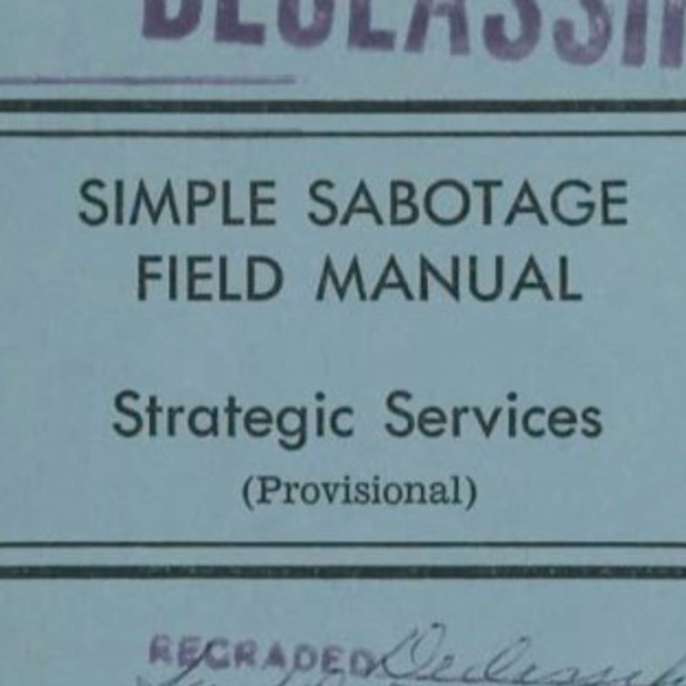
a) a somewhat cursory engagement with prior art & a large body of archaeological literature on this topic
b) referencing Graham Hancock 💀💀💀!!!
www.sciencedirect.com/science/arti...
bsky.app/profile/davs...
Wild / Leica also made the best survey tripods with the nifty interlocks on the legs when closed.
Reposted by David Stott


Thanks for highlighting @thebefs.bsky.social 🙏

Reposted by David Stott


www.iow.de/message/item...

Reposted by David Stott

I'd recommend that you specifically seek out archaeological prospection specialists when you look for domain experts. There's not many of us, but we're nice:
go.bsky.app/M9FwG2K
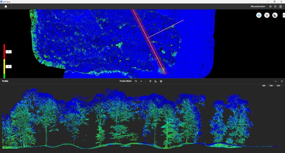
In terms of the wider literature- multi-spectral imaging has been used by archaeologists for decades at this point, and there are some good papers on sensor fusion and spectral indices...
(I work with both)
Citing these dingdongs risks legitimising them. The state of the world at the minute shows us where that gets us. Beware.
However- this is something that indicates a broken review / editorial process. At some point someone who is should've had a look...
www.sciencedirect.com/science/arti...

a) a somewhat cursory engagement with prior art & a large body of archaeological literature on this topic
b) referencing Graham Hancock 💀💀💀!!!
Reposted by David Stott
Reposted by David Stott


Check the image below to see if you can spot the cliff-based hazards in this scene. Answers here: www.bgs.ac.uk/discovering-...
Reposted by David Stott
www.sciencedirect.com/science/arti...
(Insert story here about a certain professor accidentally giving a skull a third eye when probing the extent of a cairn...)
Reposted by Jacob T. Levy, David Stott


bsky.app/profile/davs...
I've been wanting to do a project on looking at fungal diversity on protected vs unprotected sites for ages.
Reposted by David Stott

Yet the world is waking up”.
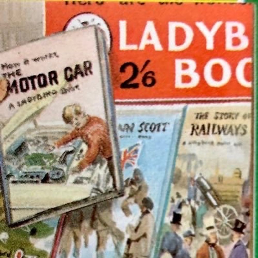
Artists: Edith Hilder, Rowland Hilder (ShellGuide, 1955)
(In that the New Labour tribute act plays *all* the old songs)
Reposted by David Stott

#Procreate #iPad
#EastLothian
Reposted by David Stott


It has been described as one of the greatest surviving artworks from Neolithic Europe.
All six sides of the flint macehead are delicately decorated. From this view, it appears like a human face, with the hole for the shaft as a mouth.
#Ireland #SpéirGhorm
Reposted by Keith Lilley, David Stott

Into the Wild Conference & Discussion Meeting - 21st & 22nd May 2026, Glasgow.
Multidisciplinary event of interest to researchers, practitioners & policy makers.
Deadline: 2 March 2026.
Details: tinyurl.com/8twry2zc
Please share 🙏