Dustin Mulvaney
banner
dustinmulvaney.bsky.social
Dustin Mulvaney
@dustinmulvaney.bsky.social

Professor, Environmental Studies🌎
San José State University @CalState.Bsky.social
Fellow, Payne Institute @ Colorado School of Mines, Climate & Community Institute @cplusc.bsky.social, Switzer Network. www.dustinmulvaney.com
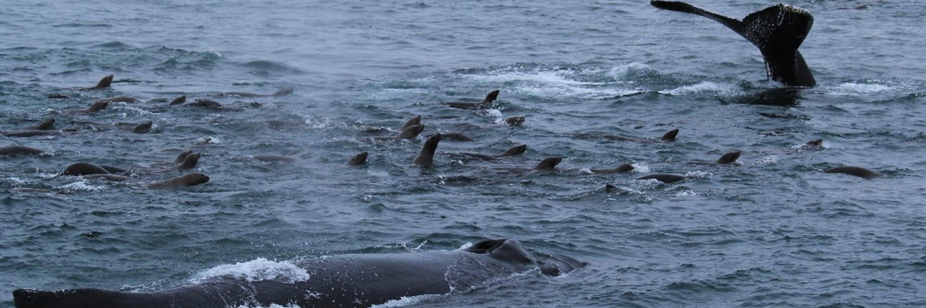
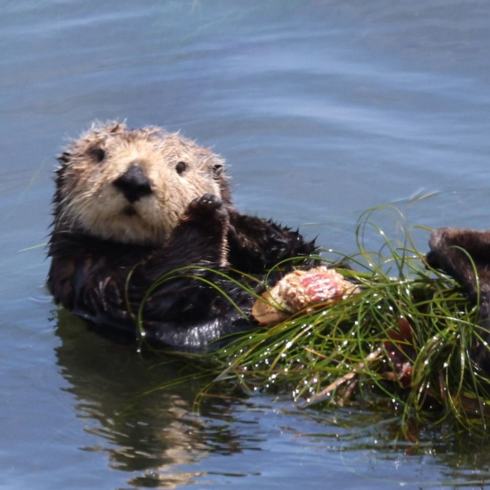
📍Popeloutchom, Monterey Bay 🌅🦦 .. more

Environmental science 33%
Energy 20%
Pinned
Shout out to @motherjones.com for republishing this and adding the alt title.

Trump Team’s Plans to Exploit Public Lands Follow the Blueprint of Reagan’s Interior Secretary. www.motherjones.com/politics/202...
The Trump Team's plans to exploit public lands follow the blueprint of Reagan's Interior secretary
James Watt led a similar effort to privatize natural resources for mining, energy development, logging, and sprawl.
www.motherjones.com

Eagle rock ALERT cam tonight, Santa Cruz Mountains, the aurora substorm burst of activity happened between about 8:30 and 9:30.. fog rolled in at 9:40.

Oh, they saw this one in Mexico.
bsky.app/profile/dust...
Imperial Irrigation District’s camera on the Salton Sea near Niland, California, exploding with Aurora color.

This is what the Eagle Rock camera looks like now. Caught the Aurora only moments before it was eaten by the fog.
🌫️🌫️🌫️🌫️🌫️🌫️🌫️🌫️🌫️🌫️🌫️🌫️🌫️
#auroraborealis #stratus

I’m guessing that’s an airplane.

Fog and light pollution are the biggest obstacles to seeing the rare auroras in the Santa Cruz Mountains. Have to go pretty far west to get around the Silicon Valley light pollution , and the fog takes out the coastal spots; tonight’s fog took away nearly all the mountain views too.
Aurora borealis above the fog, at the top of Ben Lomond Mountain, Santa Cruz Mountains. #auroraborealis

Aurora borealis above the fog, at the top of Ben Lomond Mountain, Santa Cruz Mountains. #auroraborealis

The tippy top of Ben Lomond Mountain and Eagle rock were the only things sticking out of the extremely dense fog, and this scene was eveloped in fog before I could get a tripod out. #CAwx
Aurora borealis over Eagle rock, Santa Cruz Mountains. #AuroraWatch

Reposted by Dustin Mulvaney

We had a good show in Marin tonight.

Aurora borealis over Eagle rock, Santa Cruz Mountains. #AuroraWatch

Reposted by Dustin Mulvaney

The brightest aurora I’ve seen in NorCal. Photograph made along Dry Creek Rd. in Healdsburg, with the iconic Timber Crest Farms barn. #kentporterphotography @pressdemo.bsky.social #substorm #Auroraborealis #northernlights #CME

Hmmmm. Eagle rock, Santa Cruz Mountains.. that looks like aurora borealis.

Truly spectacular aurora colors over the Salton Sea, from imperial irrigation district’s west shore cam looking towards Joshua Tree National Park and Chuckwalla National Monument. #AuroraWatch #SaltonSea

Here is the link.. #auroraborealis still going string near the US Mexico border. iid.roundshot.com/salton-south...

Imperial Irrigation District’s camera on the Salton Sea near Niland, California, exploding with Aurora color.

Reposted by Dustin Mulvaney

The #aurora reached at least as far south as here in El Centro, California, a few miles north of the Mexican border! So cool!

Willow Creek’s latitude is at about San Francisco, or a little over a degree north of Santa Cruz. #AuroraWatch
Aurora in the Sierra foothills! This is Willow Creek’s ALERT camera, a bit south east of Sacramento. #AuroraWatch cameras.alertcalifornia.org?pos=38.7069_...

Aurora in the Sierra foothills! This is Willow Creek’s ALERT camera, a bit south east of Sacramento. #AuroraWatch cameras.alertcalifornia.org?pos=38.7069_...

Orographic lift is how terrain can cause rainfall in the Santa Cruz Mountains. When moist air rises up a mountain slope, it expands causing it to cool adiabatically. Cool air can’t hold as much moisture, so water vapor condenses, forming clouds, fog, and rain; the reverse of adiabatic compression.🧪
Reno, Nevada
6:31 PDT
39.4° N, 119.8° W

#Aurora

Will be enjoying auroras vicariously through others as June gloom showed up and fogged us out.
Fog rolling into the Santa Cruz Mountains.

Aurora in Imperial, California! #SaltonSea
Here is the current view from Imperial, CA looing north! This is literally mere miles from the U.S./Mexico border. ALL U.S. STATES (possibly excluding Hawaii) CAN SEE AURORA RIGHT NOW if clear!

theauroraguy.com/pages/webcams

Reposted by Dustin Mulvaney

Here is the current view from Imperial, CA looing north! This is literally mere miles from the U.S./Mexico border. ALL U.S. STATES (possibly excluding Hawaii) CAN SEE AURORA RIGHT NOW if clear!

theauroraguy.com/pages/webcams

Reposted by Dustin Mulvaney

A SEVERE geomagnetic storm (G4) is UNDERWAY!

Reports of visible aurora from Massachusetts, Omaha, Michigan, Minnesota, Maryland, Missouri, Alabama, Iowa, Indiana, etc.

LOOK NORTH NOW! And tag/text your family ASAP so they see too! 😍

Reposted by Dustin Mulvaney

G4/SEVERE Geomagnetic Storm conditions have now been observed. It is possible we will see G5 conditions tonight...

This moisture flow will turn to rain once the hills work their orographic magic overnight, ahead of the pineapple express later tomorrow. #CAwx
Fog rolling up a gulch in the Santa Cruz Mountains.

Fog rolling up a gulch in the Santa Cruz Mountains.

Fog rolling into the Santa Cruz Mountains.
Hey!! Here's my new piece for The New Republic!!

It's about how Meta is cramming generative video slop (the most energy-intensive of the gen systems) into its massive global advertising engine: a recipe for an order magnitude worsening of its already-huge harms 😱

newrepublic.com/article/2028...

Calm before the storm, Monterey Bay.

Also, note that appropriately named “worst-case scenario engineer” literally works on the worst-case of our sun cooking our electricity infrastructure.
bsky.app/profile/wors...
I'll be watching the protection systems but having done a bunch of work on this some years ago the requirements for GMD to cause real issues on the grid are *very* specific, you need long lines going in the right direction across the right geological strata...