
www.youtube.com/c/hansvander...

Although this year’s challenge doesn’t include a #VintageMap theme, I decided to bring a bit of history into today’s task.
Using #QGIS, I styled current OpenStreetMap data of #RhodeIsland in the aesthetic of 19th‑century maps.

Although this year’s challenge doesn’t include a #VintageMap theme, I decided to bring a bit of history into today’s task.
Using #QGIS, I styled current OpenStreetMap data of #RhodeIsland in the aesthetic of 19th‑century maps.
Map of the #Mara River Basin made in #QGIS with #HydroSHEDS #opendata and @maptiler.bsky.social #vectortiles.
🎥 Try it for your own catchment: youtu.be/hUgEYKz87gw

Map of the #Mara River Basin made in #QGIS with #HydroSHEDS #opendata and @maptiler.bsky.social #vectortiles.
🎥 Try it for your own catchment: youtu.be/hUgEYKz87gw
A worst‑case scenario of 2.5 m #SeaLevelRise reshapes the delta of the Netherlands. Made in #QGIS with SRTM90 via @opentopography.org, raster image styled polygons, @maptiler satellite raster tiles, and rendered in #3D using Qgis2threejs.

A worst‑case scenario of 2.5 m #SeaLevelRise reshapes the delta of the Netherlands. Made in #QGIS with SRTM90 via @opentopography.org, raster image styled polygons, @maptiler satellite raster tiles, and rendered in #3D using Qgis2threejs.
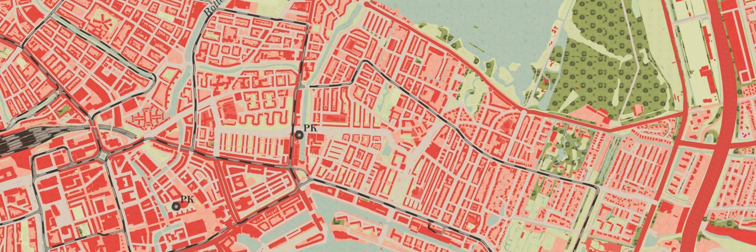
#Rotterdam shown only by land & water, revealing how the port shifted from city center to the North Sea with Maasvlakte & Tweede Maasvlakte. Once the world’s largest port, now 3rd, still a global hub.
Made with #QGIS, @maptiler.bsky.social and CBS data.

#Rotterdam shown only by land & water, revealing how the port shifted from city center to the North Sea with Maasvlakte & Tweede Maasvlakte. Once the world’s largest port, now 3rd, still a global hub.
Made with #QGIS, @maptiler.bsky.social and CBS data.
🌪️ Animated mesh layers of #hurricane tracks resembling Vincent van Gogh’s Starry Night.
#HurricaneMelissa #Jamaica.
Made with #QGIS. Data from #Copernicus #ECMWF
🌪️ Animated mesh layers of #hurricane tracks resembling Vincent van Gogh’s Starry Night.
#HurricaneMelissa #Jamaica.
Made with #QGIS. Data from #Copernicus #ECMWF
🍂 European QGIS User Groups on a natural canvas of autumn leaves.
#GIS #Cartography

🍂 European QGIS User Groups on a natural canvas of autumn leaves.
#GIS #Cartography
On #WorldUrbanismDay, I highlight the most paved municipality in the Netherlands: Krimpen aan den IJssel (43.3%), with Kortland-Noord at nearly 53%.
This Imperviousness Map was made by Friedenau Society for Climate Adaptation Services, derived from AHN LiDAR + BGT.

On #WorldUrbanismDay, I highlight the most paved municipality in the Netherlands: Krimpen aan den IJssel (43.3%), with Kortland-Noord at nearly 53%.
This Imperviousness Map was made by Friedenau Society for Climate Adaptation Services, derived from AHN LiDAR + BGT.
I mapped visa-free travel:
🛫outbound (where citizens can go) and 🛬inbound (who countries let in).
It reveals global mobility inequality.
📊 Data: 2025 Passport Index
🛠️ Made with QGIS
#VisaFreeTravel #Deglobalisation #QGIS #GIS #DataViz

I mapped visa-free travel:
🛫outbound (where citizens can go) and 🛬inbound (who countries let in).
It reveals global mobility inequality.
📊 Data: 2025 Passport Index
🛠️ Made with QGIS
#VisaFreeTravel #Deglobalisation #QGIS #GIS #DataViz


#Groningen’s gas extraction and #Limburg’s mining caused seismic risks, which js now a political issue around damage & compensation. Made while teaching #QGIS & @merginmaps.bsky.social in Leek (Groningen) for #QWAST #Fervent & #Geo2Meet.

#Groningen’s gas extraction and #Limburg’s mining caused seismic risks, which js now a political issue around damage & compensation. Made while teaching #QGIS & @merginmaps.bsky.social in Leek (Groningen) for #QWAST #Fervent & #Geo2Meet.
🌍 Every year, a colleague asks me to map the geographic distribution of new MSc students in Water & Sustainable Development at #IHEDelft. A beautiful dataset that reflects our global classroom! #GIS #OpenData #WaterEducation

🌍 Every year, a colleague asks me to map the geographic distribution of new MSc students in Water & Sustainable Development at #IHEDelft. A beautiful dataset that reflects our global classroom! #GIS #OpenData #WaterEducation
🌍 Busy day, but I made an animated map of CO₂ emissions per capita using data from @ourworldindata.org.
Tools: #QGIS #GIMP. Tutorial: courses.gisopencourseware.org/mod/book/vie... @gisopencourseware.bsky.social.
#GIS #OpenData

🌍 Busy day, but I made an animated map of CO₂ emissions per capita using data from @ourworldindata.org.
Tools: #QGIS #GIMP. Tutorial: courses.gisopencourseware.org/mod/book/vie... @gisopencourseware.bsky.social.
#GIS #OpenData
Made with #qgis #openstreetmap and #maptiler

Made with #qgis #openstreetmap and #maptiler
Inspired by my stay in Maastricht performing #CarminaBurana with #BrabantKoor & the Jussen Brothers.
#toponyms ending in -tricht, -drecht, -trecht, derived from Latin #trajectum, meaning river crossing.
Made with #QGIS #OpenStreetMap & @maptiler.bsky.social

Inspired by my stay in Maastricht performing #CarminaBurana with #BrabantKoor & the Jussen Brothers.
#toponyms ending in -tricht, -drecht, -trecht, derived from Latin #trajectum, meaning river crossing.
Made with #QGIS #OpenStreetMap & @maptiler.bsky.social

Watch here: youtu.be/0u6tPM-USHY
💬 Feel free to share your comments.

Watch here: youtu.be/0u6tPM-USHY
💬 Feel free to share your comments.
📅 26 Sept 2025
🕚 11H00 UTC
📺 Livestream and more info: github.com/qgis/QGIS/wi...

📅 26 Sept 2025
🕚 11H00 UTC
📺 Livestream and more info: github.com/qgis/QGIS/wi...

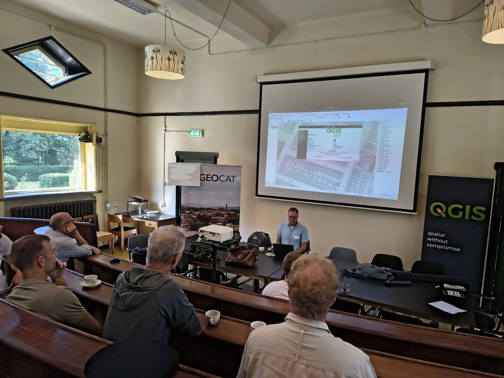

👨💻👩💻 Ontwikkelaars welkom!
📅 Aanmelden vóór 31 aug via: qgis.nl/event/plugin...
#QGIS #QGISNL #GeoCat #OpenSource #Python #Qt6 #GIS

👨💻👩💻 Ontwikkelaars welkom!
📅 Aanmelden vóór 31 aug via: qgis.nl/event/plugin...
#QGIS #QGISNL #GeoCat #OpenSource #Python #Qt6 #GIS
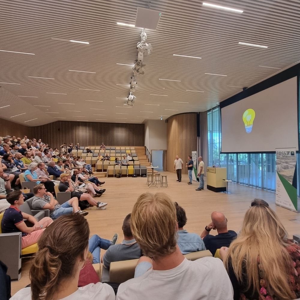
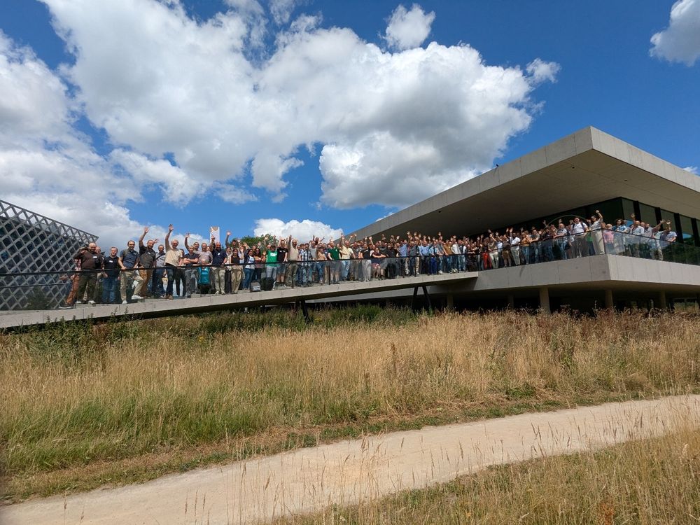
From train delays to inspiring workshops, talks & riverside drinks, it was a ride!
📖 Read the full story: www.qwast-gis.com/l/foss4g-eur...
#gischat #FOSS4G #OSGeo #GIS #QGIS #FOSS4GEurope
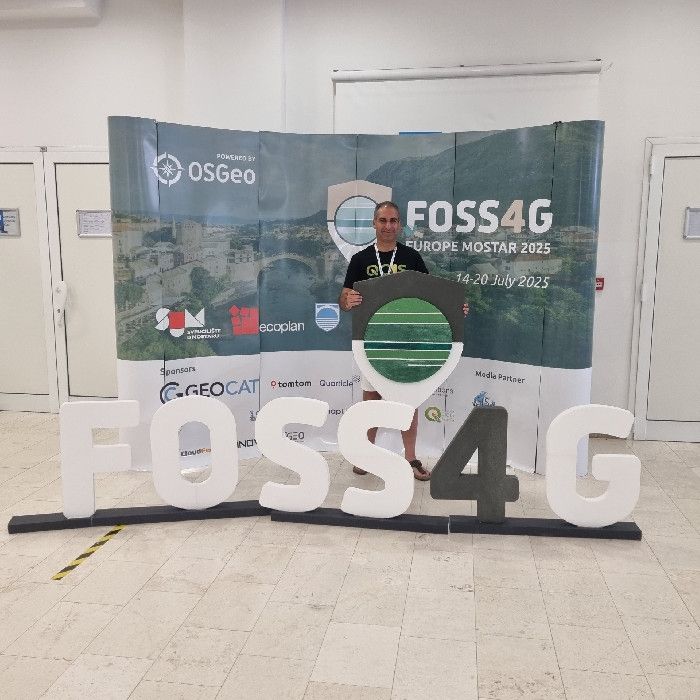
From train delays to inspiring workshops, talks & riverside drinks, it was a ride!
📖 Read the full story: www.qwast-gis.com/l/foss4g-eur...
#gischat #FOSS4G #OSGeo #GIS #QGIS #FOSS4GEurope
💻 Can’t join in person? Free access at @gisopencourseware.bsky.social: courses.gisopencourseware.org
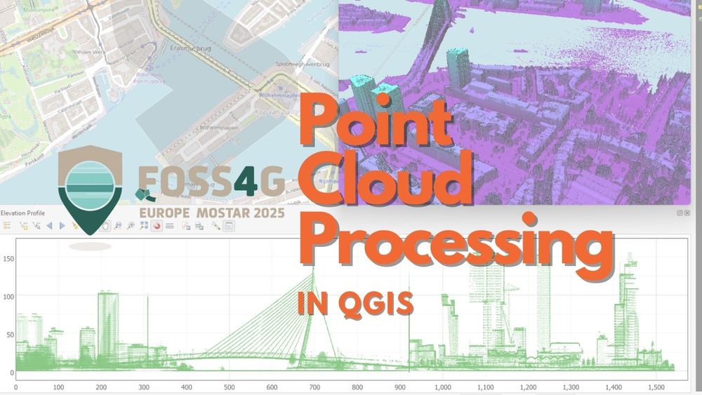
💻 Can’t join in person? Free access at @gisopencourseware.bsky.social: courses.gisopencourseware.org
Er waren weer veel interessante workshops en inspirerende presentaties.
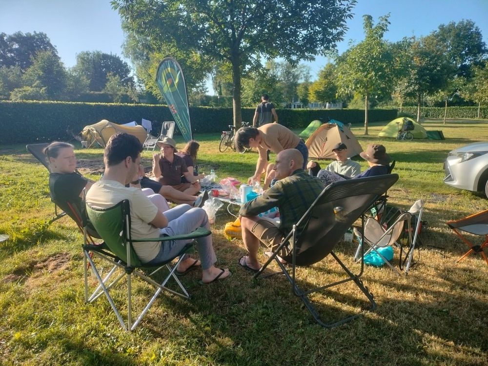
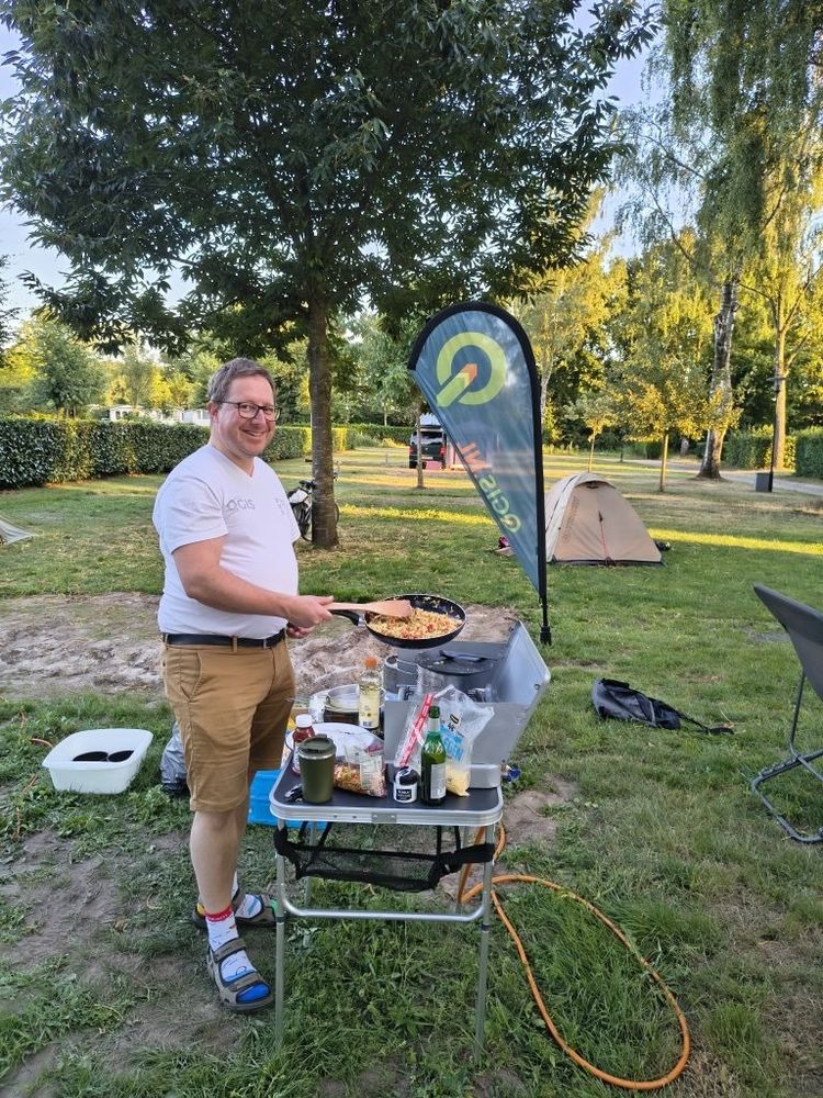
⛺️ Voor onze leden was er ook weer een supergezellige QGIS Camping!
#QGISNL #FOSS4G #QGIS
