


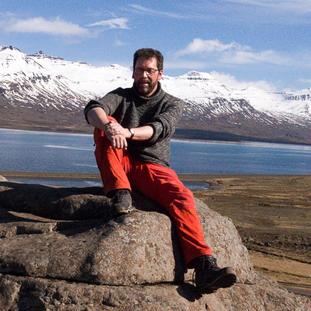
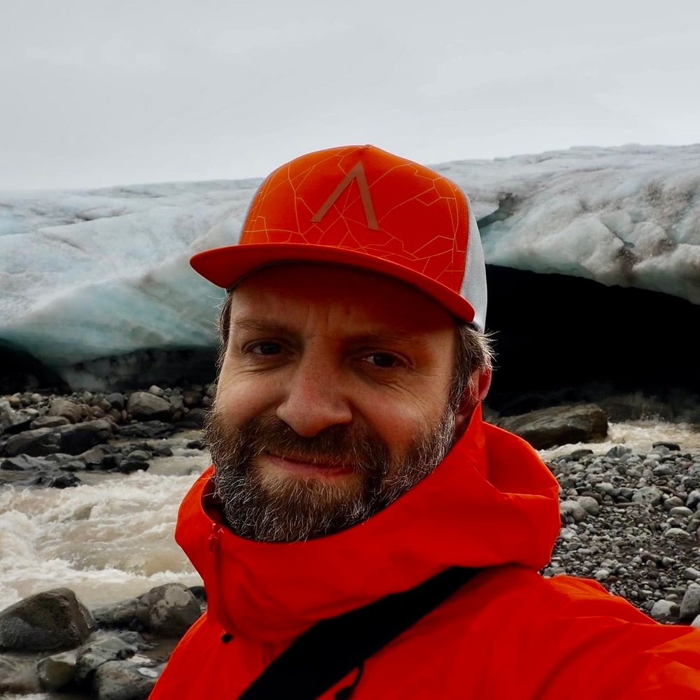
Keflavík BIKF → Akureyri BIAR
Diesmal mit der Daher TBM, was ein geiles Gerät 🤓
Unterwegs zu sehen: u. A. Reykjavík und der Langjökull-Gletscher.
https://en.wikipedia.org/wiki/SOCATA_TBM (Stückpreis ~5M USD, Kosten pro NM ~2,5 USD)
#flightsim #iceland […]
[Original post on mastodon.social]
Diesmal mit der Daher TBM, was ein geiles Gerät 🤓
Unterwegs zu sehen: u. A. Reykjavík und der Langjökull-Gletscher.
https://en.wikipedia.org/wiki/SOCATA_TBM (Stückpreis ~5M USD, Kosten pro NM ~2,5 USD)
#flightsim #iceland […]
[Original post on mastodon.social]


December 30, 2025 at 5:27 PM
Keflavík BIKF → Akureyri BIAR
Diesmal mit der Daher TBM, was ein geiles Gerät 🤓
Unterwegs zu sehen: u. A. Reykjavík und der Langjökull-Gletscher.
https://en.wikipedia.org/wiki/SOCATA_TBM (Stückpreis ~5M USD, Kosten pro NM ~2,5 USD)
#flightsim #iceland […]
[Original post on mastodon.social]
Diesmal mit der Daher TBM, was ein geiles Gerät 🤓
Unterwegs zu sehen: u. A. Reykjavík und der Langjökull-Gletscher.
https://en.wikipedia.org/wiki/SOCATA_TBM (Stückpreis ~5M USD, Kosten pro NM ~2,5 USD)
#flightsim #iceland […]
[Original post on mastodon.social]
Kerlingarfjöll
Discover the surreal beauty of #Kerlingarfjöll colorful rhyolite peaks, steaming geothermal valleys in Iceland between the Hofsjökull and Langjökull glaciers.
#Iceland
#Landscape #Landscapes
#Landscapephotography
#Nikon #Photography
Discover the surreal beauty of #Kerlingarfjöll colorful rhyolite peaks, steaming geothermal valleys in Iceland between the Hofsjökull and Langjökull glaciers.
#Iceland
#Landscape #Landscapes
#Landscapephotography
#Nikon #Photography

December 27, 2025 at 11:39 AM
Kerlingarfjöll
Discover the surreal beauty of #Kerlingarfjöll colorful rhyolite peaks, steaming geothermal valleys in Iceland between the Hofsjökull and Langjökull glaciers.
#Iceland
#Landscape #Landscapes
#Landscapephotography
#Nikon #Photography
Discover the surreal beauty of #Kerlingarfjöll colorful rhyolite peaks, steaming geothermal valleys in Iceland between the Hofsjökull and Langjökull glaciers.
#Iceland
#Landscape #Landscapes
#Landscapephotography
#Nikon #Photography
The Southern edge of Langjökull glacier, seen from Gullfoss waterfall #gullfoss #langjökull #langjokull #glacier #iceland #ijsland #goldencircletour

December 25, 2025 at 8:15 PM
The Southern edge of Langjökull glacier, seen from Gullfoss waterfall #gullfoss #langjökull #langjokull #glacier #iceland #ijsland #goldencircletour

Hveravellir in the Central Highlands of Iceland
In August, we finally crossed the country on the Kjölur route. It was on our bucket list for a long time.
#AlphabetChallenge #WeekYForYearPast #Scape #EastCoastKin #Iceland
In August, we finally crossed the country on the Kjölur route. It was on our bucket list for a long time.
#AlphabetChallenge #WeekYForYearPast #Scape #EastCoastKin #Iceland

December 19, 2025 at 12:22 PM
Hveravellir in the Central Highlands of Iceland
In August, we finally crossed the country on the Kjölur route. It was on our bucket list for a long time.
#AlphabetChallenge #WeekYForYearPast #Scape #EastCoastKin #Iceland
In August, we finally crossed the country on the Kjölur route. It was on our bucket list for a long time.
#AlphabetChallenge #WeekYForYearPast #Scape #EastCoastKin #Iceland
Our glacier guide in Iceland this summer: “Yeah we all went up there and had a funeral for it. We sang songs. It was kind of sweet.”

December 7, 2025 at 5:56 PM
Our glacier guide in Iceland this summer: “Yeah we all went up there and had a funeral for it. We sang songs. It was kind of sweet.”

Hraunfossar in Borgarfjörður, western #Iceland) is a series of waterfalls formed by rivulets streaming over a distance of about 900 metres out of the Hallmundarhraun, #WaterFallWednesday #EastCoastKin
More in ALT
More in ALT
![Hraunfossar; in Borgarfjörður, western Iceland) is a series of waterfalls formed by rivulets streaming over a distance of about 900 metres out of the Hallmundarhraun, a lava field which flowed from an eruption of one of the volcanoes lying under the glacier Langjökull. The waterfalls pour into Hvítá (Borgarfjörður), from ledges of less porous rock in the lava. The name comes from the Icelandic word for lava (hraun) and the word for waterfalls (fossar).[1] The Hraunfossar are situated near Húsafell and Reykholt and the Víðgelmir lava tube is close by.](https://cdn.bsky.app/img/feed_thumbnail/plain/did:plc:k3lj3tnwkpllygj4xfrherjm/bafkreidyrdcxyumt464zujg3vehxjp2t4uk5fbitteausl4jsb7e726wzi@jpeg)
November 19, 2025 at 12:43 PM
Hraunfossar in Borgarfjörður, western #Iceland) is a series of waterfalls formed by rivulets streaming over a distance of about 900 metres out of the Hallmundarhraun, #WaterFallWednesday #EastCoastKin
More in ALT
More in ALT
'Warme Dinge' #Fotovorschlag
Heiße Quellen in Kerlingarfjöll
Discover the surreal beauty of #Kerlingarfjöll colorful rhyolite peaks, steaming geothermal valleys in Iceland between the Hofsjökull and Langjökull glaciers.
#Iceland
#Landscape #Landscapes
#Landscapephotography
#Nikon #Photography
Heiße Quellen in Kerlingarfjöll
Discover the surreal beauty of #Kerlingarfjöll colorful rhyolite peaks, steaming geothermal valleys in Iceland between the Hofsjökull and Langjökull glaciers.
#Iceland
#Landscape #Landscapes
#Landscapephotography
#Nikon #Photography

November 17, 2025 at 6:53 PM
'Warme Dinge' #Fotovorschlag
Heiße Quellen in Kerlingarfjöll
Discover the surreal beauty of #Kerlingarfjöll colorful rhyolite peaks, steaming geothermal valleys in Iceland between the Hofsjökull and Langjökull glaciers.
#Iceland
#Landscape #Landscapes
#Landscapephotography
#Nikon #Photography
Heiße Quellen in Kerlingarfjöll
Discover the surreal beauty of #Kerlingarfjöll colorful rhyolite peaks, steaming geothermal valleys in Iceland between the Hofsjökull and Langjökull glaciers.
#Iceland
#Landscape #Landscapes
#Landscapephotography
#Nikon #Photography
A bus in Iceland looks a bit different from other parts of the world #iceland #ijsland #bus #langjokull #glaciertour #man

November 15, 2025 at 9:38 AM
A bus in Iceland looks a bit different from other parts of the world #iceland #ijsland #bus #langjokull #glaciertour #man

November 13, 2025 at 12:33 PM


October 20, 2025 at 1:32 PM
Oh that's good, I've not kept such clear records, I just usually take a photo cos I'm like a kid when it comes to flying, I love planes! Fun fact: last time we flew on Látrabjarg, but the cabin crew in the announcement called it Langjökull 😂✈️
October 12, 2025 at 2:58 PM
Oh that's good, I've not kept such clear records, I just usually take a photo cos I'm like a kid when it comes to flying, I love planes! Fun fact: last time we flew on Látrabjarg, but the cabin crew in the announcement called it Langjökull 😂✈️

[08/25] Article:
The Icelandic Meteorological Office reported a glacier flood in Hafrafellslón, west of Langjökull glacier, on August 22, 2025, with rising water levels measured in Hvítá River above Húsafell.
The Icelandic Meteorological Office reported a glacier flood in Hafrafellslón, west of Langjökull glacier, on August 22, 2025, with rising water levels measured in Hvítá River above Húsafell.

Glacier outburst flood begins in Hafrafellslón, west of Langjökull, Iceland
The Icelandic Meteorological Office reported a glacier flood in Hafrafellslón, west of Langjökull glacier, on August 22, 2025, with rising water levels measured in Hvítá River above Húsafell.
watchers.news
October 4, 2025 at 4:42 AM
[08/25] Article:
The Icelandic Meteorological Office reported a glacier flood in Hafrafellslón, west of Langjökull glacier, on August 22, 2025, with rising water levels measured in Hvítá River above Húsafell.
The Icelandic Meteorological Office reported a glacier flood in Hafrafellslón, west of Langjökull glacier, on August 22, 2025, with rising water levels measured in Hvítá River above Húsafell.
Before and after #flood
A pair of #Sentinel2 satellite images acquired on the 20th of August and 8th of September showing the lake where a glacial outburst flood aka #GLOF aka #Jökulhlaup occurred at the margin of #Langjökull glacier.
Check previous post for a short video from the field.
A pair of #Sentinel2 satellite images acquired on the 20th of August and 8th of September showing the lake where a glacial outburst flood aka #GLOF aka #Jökulhlaup occurred at the margin of #Langjökull glacier.
Check previous post for a short video from the field.
September 13, 2025 at 3:58 PM
Before and after #flood
A pair of #Sentinel2 satellite images acquired on the 20th of August and 8th of September showing the lake where a glacial outburst flood aka #GLOF aka #Jökulhlaup occurred at the margin of #Langjökull glacier.
Check previous post for a short video from the field.
A pair of #Sentinel2 satellite images acquired on the 20th of August and 8th of September showing the lake where a glacial outburst flood aka #GLOF aka #Jökulhlaup occurred at the margin of #Langjökull glacier.
Check previous post for a short video from the field.
'Dinge die mit "K" beginnen ....' #FotoVorschlag
Kerlingarfjöll
Discover the surreal beauty of #Kerlingarfjöll colorful rhyolite peaks, steaming geothermal valleys in Iceland between the Hofsjökull and Langjökull glaciers.
#Iceland
#Landscape #Landscapes
#Landscapephotography
#Nikon #Photography
Kerlingarfjöll
Discover the surreal beauty of #Kerlingarfjöll colorful rhyolite peaks, steaming geothermal valleys in Iceland between the Hofsjökull and Langjökull glaciers.
#Iceland
#Landscape #Landscapes
#Landscapephotography
#Nikon #Photography

August 26, 2025 at 5:37 PM
'Dinge die mit "K" beginnen ....' #FotoVorschlag
Kerlingarfjöll
Discover the surreal beauty of #Kerlingarfjöll colorful rhyolite peaks, steaming geothermal valleys in Iceland between the Hofsjökull and Langjökull glaciers.
#Iceland
#Landscape #Landscapes
#Landscapephotography
#Nikon #Photography
Kerlingarfjöll
Discover the surreal beauty of #Kerlingarfjöll colorful rhyolite peaks, steaming geothermal valleys in Iceland between the Hofsjökull and Langjökull glaciers.
#Iceland
#Landscape #Landscapes
#Landscapephotography
#Nikon #Photography
By the inventors of the GLOF, aka Jökulhlaup! 🧊🌊
Few days ago, an ice-dammed lake overflowed on Langjökull gl.!
The flood did not cause issues, but its mechanics are interesting since water flowed both beneath and on top of the glacier!
🎥 Ragnar Heiðar Þrastarson
www.youtube.com/watch?v=W7p3...
Few days ago, an ice-dammed lake overflowed on Langjökull gl.!
The flood did not cause issues, but its mechanics are interesting since water flowed both beneath and on top of the glacier!
🎥 Ragnar Heiðar Þrastarson
www.youtube.com/watch?v=W7p3...

Hafrafellslón - jökulhlaup í ágúst 2025
YouTube video by Ragnar Heiðar Þrastarson
www.youtube.com
August 24, 2025 at 5:36 PM
By the inventors of the GLOF, aka Jökulhlaup! 🧊🌊
Few days ago, an ice-dammed lake overflowed on Langjökull gl.!
The flood did not cause issues, but its mechanics are interesting since water flowed both beneath and on top of the glacier!
🎥 Ragnar Heiðar Þrastarson
www.youtube.com/watch?v=W7p3...
Few days ago, an ice-dammed lake overflowed on Langjökull gl.!
The flood did not cause issues, but its mechanics are interesting since water flowed both beneath and on top of the glacier!
🎥 Ragnar Heiðar Þrastarson
www.youtube.com/watch?v=W7p3...
A few days ago, we had a glacial outburst flood AKA Jökulhlaup. The water originated from an ice dammed lake by Langjökull glacier. The flood did not cause any issues downstream, but its mechanics are interesting since water flows both beneath and on top of the glacier.
A short vid from the field 👇
A short vid from the field 👇

Hafrafellslón - jökulhlaup í ágúst 2025
YouTube video by Ragnar Heiðar Þrastarson
youtu.be
August 24, 2025 at 11:56 AM
A few days ago, we had a glacial outburst flood AKA Jökulhlaup. The water originated from an ice dammed lake by Langjökull glacier. The flood did not cause any issues downstream, but its mechanics are interesting since water flows both beneath and on top of the glacier.
A short vid from the field 👇
A short vid from the field 👇
🇮🇸 🌋 🧊 🌊 Langjökull 🟩
Good morning, dear ones 👋 🤗 🥰
When I just looked at the water level diagram, I thought there had been a second flood wave during the jökulhlaup. This happens when there are multiple chambers/areas.
But the experts from the IMO suspect an obstruction in the river - ...
1/2
Good morning, dear ones 👋 🤗 🥰
When I just looked at the water level diagram, I thought there had been a second flood wave during the jökulhlaup. This happens when there are multiple chambers/areas.
But the experts from the IMO suspect an obstruction in the river - ...
1/2


August 24, 2025 at 7:59 AM
🇮🇸 🌋 🧊 🌊 Langjökull 🟩
Good morning, dear ones 👋 🤗 🥰
When I just looked at the water level diagram, I thought there had been a second flood wave during the jökulhlaup. This happens when there are multiple chambers/areas.
But the experts from the IMO suspect an obstruction in the river - ...
1/2
Good morning, dear ones 👋 🤗 🥰
When I just looked at the water level diagram, I thought there had been a second flood wave during the jökulhlaup. This happens when there are multiple chambers/areas.
But the experts from the IMO suspect an obstruction in the river - ...
1/2

Glacier outburst flood begins in Hafrafellslón, west of Langjökull, Iceland
https://www.europesays.com/2353515/
A glacier outburst flood (jökulhlaup) has begun in Hafrafellslón, a marginal glacial lake on the western edge of…
https://www.europesays.com/2353515/
A glacier outburst flood (jökulhlaup) has begun in Hafrafellslón, a marginal glacial lake on the western edge of…
August 23, 2025 at 10:45 PM
Glacier outburst flood begins in Hafrafellslón, west of Langjökull, Iceland
https://www.europesays.com/2353515/
A glacier outburst flood (jökulhlaup) has begun in Hafrafellslón, a marginal glacial lake on the western edge of…
https://www.europesays.com/2353515/
A glacier outburst flood (jökulhlaup) has begun in Hafrafellslón, a marginal glacial lake on the western edge of…
🇮🇸 🌋 🧊 🌊 Langjökull 🟩
Water level in Hvítá unchanged from last night
Source www.ruv.is/frettir/innl...
vmkerfi.vedur.is/vdv.php/hist...
Water level in Hvítá unchanged from last night
Source www.ruv.is/frettir/innl...
vmkerfi.vedur.is/vdv.php/hist...


August 23, 2025 at 8:56 AM
🇮🇸 🌋 🧊 🌊 Langjökull 🟩
Water level in Hvítá unchanged from last night
Source www.ruv.is/frettir/innl...
vmkerfi.vedur.is/vdv.php/hist...
Water level in Hvítá unchanged from last night
Source www.ruv.is/frettir/innl...
vmkerfi.vedur.is/vdv.php/hist...
🇮🇸 🌋 🧊 Langjökull 🟩
Jökulhlaup begins in Hafrafellslón, west of Langjökull glacier
Source www.vedur.is/um-vi/fretti...
Link www.vedur.is/media/vedurs...
Water level measurement vmkerfi.vedur.is/vdv.php/hist... Vesturland - Hvítá, Svelti - V638
Jökulhlaup begins in Hafrafellslón, west of Langjökull glacier
Source www.vedur.is/um-vi/fretti...
Link www.vedur.is/media/vedurs...
Water level measurement vmkerfi.vedur.is/vdv.php/hist... Vesturland - Hvítá, Svelti - V638


August 22, 2025 at 4:30 PM
🇮🇸 🌋 🧊 Langjökull 🟩
Jökulhlaup begins in Hafrafellslón, west of Langjökull glacier
Source www.vedur.is/um-vi/fretti...
Link www.vedur.is/media/vedurs...
Water level measurement vmkerfi.vedur.is/vdv.php/hist... Vesturland - Hvítá, Svelti - V638
Jökulhlaup begins in Hafrafellslón, west of Langjökull glacier
Source www.vedur.is/um-vi/fretti...
Link www.vedur.is/media/vedurs...
Water level measurement vmkerfi.vedur.is/vdv.php/hist... Vesturland - Hvítá, Svelti - V638

Glacier outburst flood begins in Hafrafellslón, west of Langjökull, Iceland
The Icelandic Meteorological Office reported a glacier flood in Hafrafellslón, west of Langjökull glacier, on August 22, 2025, with rising water levels measured in Hvítá River above Húsafell […]
The Icelandic Meteorological Office reported a glacier flood in Hafrafellslón, west of Langjökull glacier, on August 22, 2025, with rising water levels measured in Hvítá River above Húsafell […]
Original post on rockosbasilisk.com
rockosbasilisk.com
August 22, 2025 at 3:15 PM
Glacier outburst flood begins in Hafrafellslón, west of Langjökull, Iceland
The Icelandic Meteorological Office reported a glacier flood in Hafrafellslón, west of Langjökull glacier, on August 22, 2025, with rising water levels measured in Hvítá River above Húsafell […]
The Icelandic Meteorological Office reported a glacier flood in Hafrafellslón, west of Langjökull glacier, on August 22, 2025, with rising water levels measured in Hvítá River above Húsafell […]
#Quakes at #volcanoes past 24h: #Abu, #Agua, #Akagi, #Akuseki-jima, #Apaneca Range, #Campi Flegrei (Phlegrean Fields)
#Canlaon, #Cerro Singüil, #Clear Lake, #Coso, #Cotopaxi, #Daisen, #El Chichón, #Eldey, #Grímsnes, #Izu-Tobu, #Kirishima, #Klyuchevskoy, #Kuju, #La Palma, #Langjökull, #Leonard...
#Canlaon, #Cerro Singüil, #Clear Lake, #Coso, #Cotopaxi, #Daisen, #El Chichón, #Eldey, #Grímsnes, #Izu-Tobu, #Kirishima, #Klyuchevskoy, #Kuju, #La Palma, #Langjökull, #Leonard...

Latest earthquakes near active volcanoes
www.volcanodiscovery.com
August 17, 2025 at 2:50 PM
#Quakes at #volcanoes past 24h: #Abu, #Agua, #Akagi, #Akuseki-jima, #Apaneca Range, #Campi Flegrei (Phlegrean Fields)
#Canlaon, #Cerro Singüil, #Clear Lake, #Coso, #Cotopaxi, #Daisen, #El Chichón, #Eldey, #Grímsnes, #Izu-Tobu, #Kirishima, #Klyuchevskoy, #Kuju, #La Palma, #Langjökull, #Leonard...
#Canlaon, #Cerro Singüil, #Clear Lake, #Coso, #Cotopaxi, #Daisen, #El Chichón, #Eldey, #Grímsnes, #Izu-Tobu, #Kirishima, #Klyuchevskoy, #Kuju, #La Palma, #Langjökull, #Leonard...
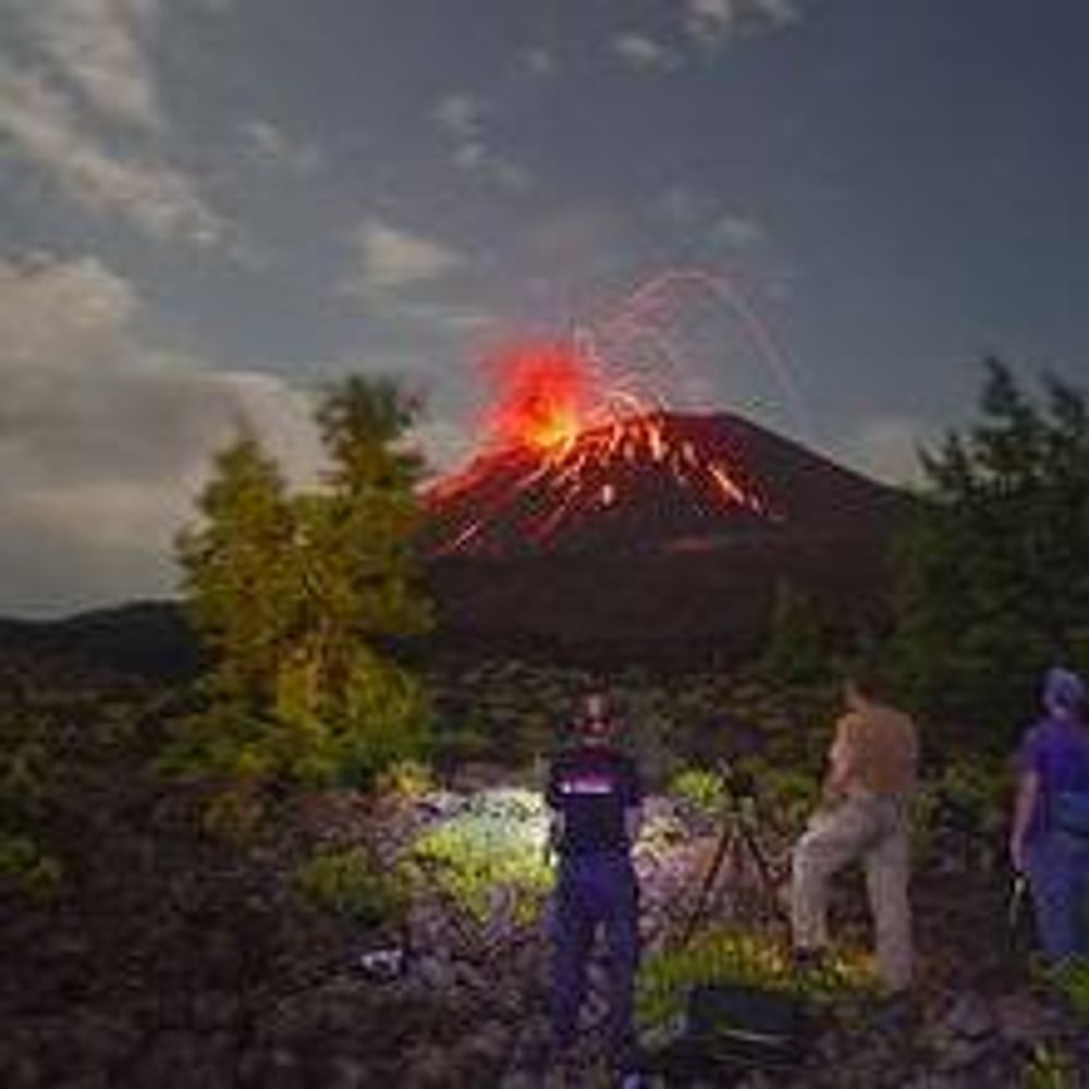
🇮🇸 🌋 Langjökull 🟩
This system has been moderately active in the Holocene
The last eruption took place ~ 3600 years ago
It lies on the W-🌋 Zone & consists of a central 🌋 & a fissure swarm 100 km ⇠⇢ & 20 km ⇕, it is partly covered with up to 600 m thick ice
en.vedur.is/earthquakes-...
vafri.is/quake
This system has been moderately active in the Holocene
The last eruption took place ~ 3600 years ago
It lies on the W-🌋 Zone & consists of a central 🌋 & a fissure swarm 100 km ⇠⇢ & 20 km ⇕, it is partly covered with up to 600 m thick ice
en.vedur.is/earthquakes-...
vafri.is/quake


August 17, 2025 at 12:03 PM
🇮🇸 🌋 Langjökull 🟩
This system has been moderately active in the Holocene
The last eruption took place ~ 3600 years ago
It lies on the W-🌋 Zone & consists of a central 🌋 & a fissure swarm 100 km ⇠⇢ & 20 km ⇕, it is partly covered with up to 600 m thick ice
en.vedur.is/earthquakes-...
vafri.is/quake
This system has been moderately active in the Holocene
The last eruption took place ~ 3600 years ago
It lies on the W-🌋 Zone & consists of a central 🌋 & a fissure swarm 100 km ⇠⇢ & 20 km ⇕, it is partly covered with up to 600 m thick ice
en.vedur.is/earthquakes-...
vafri.is/quake

2/ This lava field, called Hallmundarhraun, originally flowed from an eruption of one of the volcanoes lying under the nearby glacier Langjökull, the second largest ice-cap in Iceland.
You can see a video of the waterfalls' full extent in my previous post 😊.
You can see a video of the waterfalls' full extent in my previous post 😊.
August 8, 2025 at 4:32 PM
2/ This lava field, called Hallmundarhraun, originally flowed from an eruption of one of the volcanoes lying under the nearby glacier Langjökull, the second largest ice-cap in Iceland.
You can see a video of the waterfalls' full extent in my previous post 😊.
You can see a video of the waterfalls' full extent in my previous post 😊.