

OpenTopography
@opentopography.org
Open access to high-resolution, Earth science-oriented topography data, and related tools & resources. US National Science Foundation supported. #lidar https://www.opentopography.org
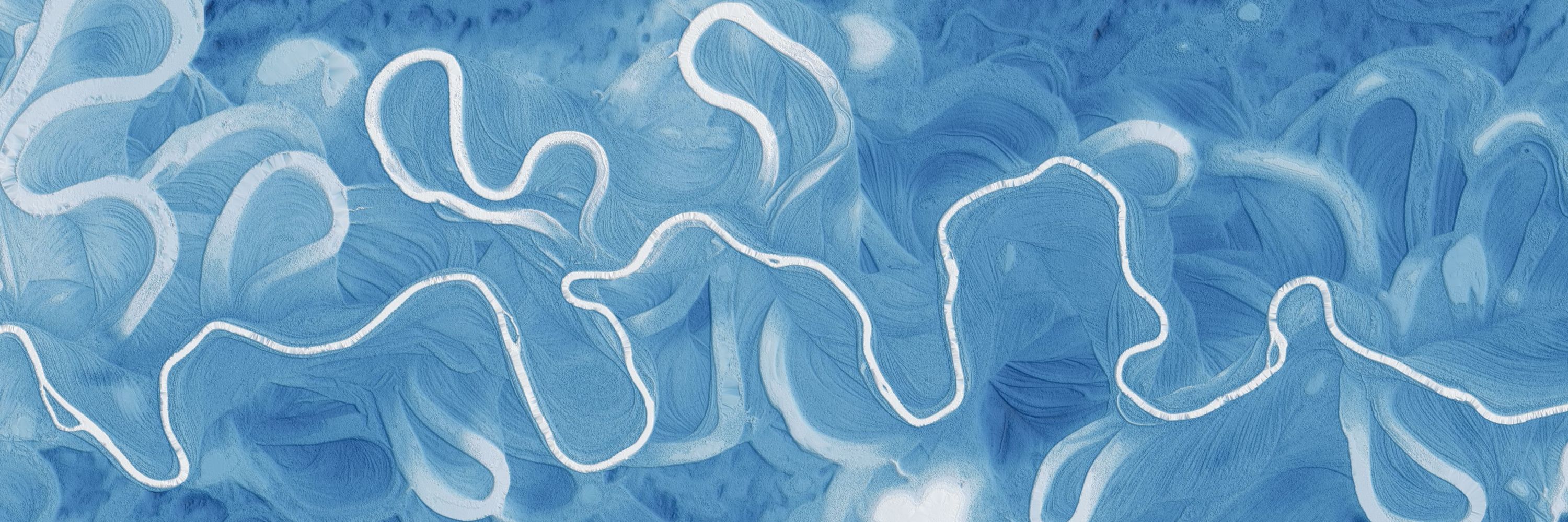
This video is part of a series from OpenTopography aimed at expanding community engagement. The series explores what we can learn about Earth’s surface, geologic processes, and natural hazards from remote sensing data like lidar.
November 10, 2025 at 5:26 PM
This video is part of a series from OpenTopography aimed at expanding community engagement. The series explores what we can learn about Earth’s surface, geologic processes, and natural hazards from remote sensing data like lidar.
This video is part of a new series from OpenTopography aimed at expanding community engagement. The series explores what we can learn about Earth’s surface, geologic processes, and natural hazards from remote sensing data like lidar.
October 1, 2025 at 5:19 PM
This video is part of a new series from OpenTopography aimed at expanding community engagement. The series explores what we can learn about Earth’s surface, geologic processes, and natural hazards from remote sensing data like lidar.
Great, happy to hear it. There are more videos planned!
September 18, 2025 at 1:14 PM
Great, happy to hear it. There are more videos planned!
This video is part of a new series from OpenTopography aimed at expanding community engagement. The series explores what we can learn about Earth’s surface, geologic processes, and natural hazards from remote sensing data like lidar.
September 11, 2025 at 6:27 PM
This video is part of a new series from OpenTopography aimed at expanding community engagement. The series explores what we can learn about Earth’s surface, geologic processes, and natural hazards from remote sensing data like lidar.