Get our app 👉 https://zoom.earth/app
Major interstates (I-10, I-20, I-30, I-40, I-55, I-70, I-81, I-95) expected to have hazardous or impassable conditions.
Saturday looks to be the worst day. This is already happening. Prepare now and stay safe!
Major interstates (I-10, I-20, I-30, I-40, I-55, I-70, I-81, I-95) expected to have hazardous or impassable conditions.
Saturday looks to be the worst day. This is already happening. Prepare now and stay safe!
Boston: 12-20+ inches expected.
Oklahoma/Arkansas: 5-12”.
NYC: 5-12”.
Ohio Valley/Mid-Atlantic: 6-12”.
Snow arrives Sunday in the Northeast. Peak rates of 2-3”/hour are possible in some areas.
Boston: 12-20+ inches expected.
Oklahoma/Arkansas: 5-12”.
NYC: 5-12”.
Ohio Valley/Mid-Atlantic: 6-12”.
Snow arrives Sunday in the Northeast. Peak rates of 2-3”/hour are possible in some areas.
Northern MS and NE LA: Up to 1 inch of ice expected, which could mean power grid failure for several days.
Dallas: 36 hours of freezing precipitation is forecast.
If you’re in the ice zone, it’s best to assume you may lose power 🪫
Northern MS and NE LA: Up to 1 inch of ice expected, which could mean power grid failure for several days.
Dallas: 36 hours of freezing precipitation is forecast.
If you’re in the ice zone, it’s best to assume you may lose power 🪫
Wind chills: -40 to -50°F in Northern Plains with life-threatening exposure possible within minutes. Single digits expected from Texas to Carolinas by Monday.
Wind chills: -40 to -50°F in Northern Plains with life-threatening exposure possible within minutes. Single digits expected from Texas to Carolinas by Monday.
This could rival the 1993 “Storm of the Century.” Multiple states have declared emergencies.
Avoid travel this weekend… 🧵
This could rival the 1993 “Storm of the Century.” Multiple states have declared emergencies.
Avoid travel this weekend… 🧵
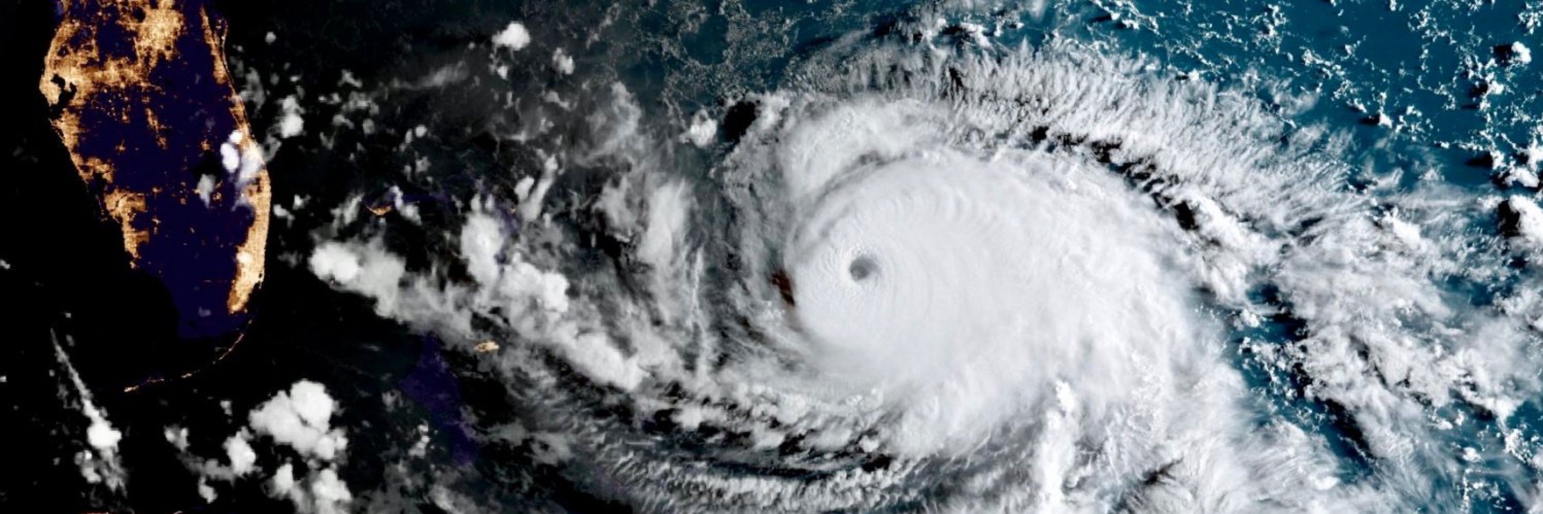
Imagery courtesy of @zoom.earth
Imagery courtesy of @zoom.earth
Here’s the latest satellite view, rain radar, and forecast track: zoom.earth/storms/fina-...
Here’s the latest satellite view, rain radar, and forecast track: zoom.earth/storms/fina-...


Life-threatening winds, flooding, and storm surge can be expected in the region. Residents should prepare and follow local warnings. #UwanPH #Fungwong
The system is strengthening and will likely become a typhoon soon. Landfall is forecast over Luzon late Sunday into Monday.
The system is strengthening and will likely become a typhoon soon. Landfall is forecast over Luzon late Sunday into Monday.
Latest track and forecast here: zoom.earth/storms/fung-...
Latest track and forecast here: zoom.earth/storms/fung-...

