


Z_GIS - Department of Geoinformatics
@zgis.bsky.social
Department of Geoinformatics at Paris-Lodron Universität Salzburg @unisalzburg.bsky.social
Fachbereich Geoinformatik, DAS Faculty
Fachbereich Geoinformatik, DAS Faculty
Pinned

🚨 The Department for Geoinformatics - Z_GIS at the Universität Salzburg @unisalzburg.bsky.social has an opening for a
University Professorship - § 99 (1) Universities Act 2002
in „Digital Earth – Geovizualisation“
Planned to start ASAP!
Read more here: www.linkedin.com/pulse/univer...
University Professorship - § 99 (1) Universities Act 2002
in „Digital Earth – Geovizualisation“
Planned to start ASAP!
Read more here: www.linkedin.com/pulse/univer...
January 29, 2026 at 12:18 PM
🚨 The Department for Geoinformatics - Z_GIS at the Universität Salzburg @unisalzburg.bsky.social has an opening for a
University Professorship - § 99 (1) Universities Act 2002
in „Digital Earth – Geovizualisation“
Planned to start ASAP!
Read more here: www.linkedin.com/pulse/univer...
University Professorship - § 99 (1) Universities Act 2002
in „Digital Earth – Geovizualisation“
Planned to start ASAP!
Read more here: www.linkedin.com/pulse/univer...
Reposted by Z_GIS - Department of Geoinformatics

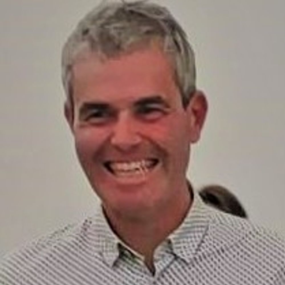
🎧 The Z_GIS Podcast is live!
We’re starting with our first episode featuring Bernhard Zagel.
👉 Listen here: open.spotify.com/episode/3JHf...
#geoinformatics #GIS #podcast
We’re starting with our first episode featuring Bernhard Zagel.
👉 Listen here: open.spotify.com/episode/3JHf...
#geoinformatics #GIS #podcast

January 28, 2026 at 9:49 AM
🎧 The Z_GIS Podcast is live!
We’re starting with our first episode featuring Bernhard Zagel.
👉 Listen here: open.spotify.com/episode/3JHf...
#geoinformatics #GIS #podcast
We’re starting with our first episode featuring Bernhard Zagel.
👉 Listen here: open.spotify.com/episode/3JHf...
#geoinformatics #GIS #podcast
Reposted by Z_GIS - Department of Geoinformatics
📢 New paper in Hydrological Processes!
"Land Use Change Alters Hydrological Drivers of Soil Erosion in the Tapesco River Watershed, Zarcero, Costa Rica"
doi.org/10.1002/hyp....
"Land Use Change Alters Hydrological Drivers of Soil Erosion in the Tapesco River Watershed, Zarcero, Costa Rica"
doi.org/10.1002/hyp....

Land Use Change Alters Hydrological Drivers of Soil Erosion in the Tapesco River Watershed, Zarcero, Costa Rica
This study reveals how land use transitions and topographic factors have influenced soil erosion in a tropical peri-urban watershed from 1986 to 2019. Using RUSLE and GIS, we identified areas with pe...
doi.org
December 19, 2025 at 9:12 AM
📢 New paper in Hydrological Processes!
"Land Use Change Alters Hydrological Drivers of Soil Erosion in the Tapesco River Watershed, Zarcero, Costa Rica"
doi.org/10.1002/hyp....
"Land Use Change Alters Hydrological Drivers of Soil Erosion in the Tapesco River Watershed, Zarcero, Costa Rica"
doi.org/10.1002/hyp....
Reposted by Z_GIS - Department of Geoinformatics
AGIT registration for summer 2026 is now open: agit.at/en/registration
🌍 We're looking forward to a great event focused on networking, sharing research insights and enjoying good food and cold drinks together in a relaxed atmosphere.
#geoinformatics #conference #salzburg
🌍 We're looking forward to a great event focused on networking, sharing research insights and enjoying good food and cold drinks together in a relaxed atmosphere.
#geoinformatics #conference #salzburg

January 13, 2026 at 10:35 AM
AGIT registration for summer 2026 is now open: agit.at/en/registration
🌍 We're looking forward to a great event focused on networking, sharing research insights and enjoying good food and cold drinks together in a relaxed atmosphere.
#geoinformatics #conference #salzburg
🌍 We're looking forward to a great event focused on networking, sharing research insights and enjoying good food and cold drinks together in a relaxed atmosphere.
#geoinformatics #conference #salzburg
Reposted by Z_GIS - Department of Geoinformatics
Calling all Young Researchers! 🚀
The AGIT Awards 2026 are here and your work could take the spotlight!💡
Submit your projects now and see you this summer. 🌞
agit.at/en/submissions
#youngresearchers #geoinformatics #agit2026
The AGIT Awards 2026 are here and your work could take the spotlight!💡
Submit your projects now and see you this summer. 🌞
agit.at/en/submissions
#youngresearchers #geoinformatics #agit2026

January 19, 2026 at 10:25 AM
Calling all Young Researchers! 🚀
The AGIT Awards 2026 are here and your work could take the spotlight!💡
Submit your projects now and see you this summer. 🌞
agit.at/en/submissions
#youngresearchers #geoinformatics #agit2026
The AGIT Awards 2026 are here and your work could take the spotlight!💡
Submit your projects now and see you this summer. 🌞
agit.at/en/submissions
#youngresearchers #geoinformatics #agit2026
Reposted by Z_GIS - Department of Geoinformatics
Need a break from the holidays? Perfect time for research. 💻💡If you have work ready, feel free to submit it for AGIT 2026 at agit.at/submissions
#geoinformatics #digitaltwins
#geoinformatics #digitaltwins


December 30, 2025 at 8:59 AM
Need a break from the holidays? Perfect time for research. 💻💡If you have work ready, feel free to submit it for AGIT 2026 at agit.at/submissions
#geoinformatics #digitaltwins
#geoinformatics #digitaltwins
Reposted by Z_GIS - Department of Geoinformatics
During a recent visit to Nanjing University, our team members Daniel Hölbling and Elena Nafieva presented our ArcDune and ROGER projects. A field trip to the Chinese Loess Plateau and northern desert dune fields left us with truly memorable impressions. Many thanks for the outstanding hospitality! 🙏


November 28, 2025 at 8:50 AM
During a recent visit to Nanjing University, our team members Daniel Hölbling and Elena Nafieva presented our ArcDune and ROGER projects. A field trip to the Chinese Loess Plateau and northern desert dune fields left us with truly memorable impressions. Many thanks for the outstanding hospitality! 🙏
Reposted by Z_GIS - Department of Geoinformatics
AGIT #wrapped 2025 – what a year! 🌍🎙️💬
- not a ranking | just a summary! ✨
Ready for the next Conference 2026 | July, 8–9
#spotifywrapped #geoinformaticsedition 😄
- not a ranking | just a summary! ✨
Ready for the next Conference 2026 | July, 8–9
#spotifywrapped #geoinformaticsedition 😄


December 17, 2025 at 10:18 AM
AGIT #wrapped 2025 – what a year! 🌍🎙️💬
- not a ranking | just a summary! ✨
Ready for the next Conference 2026 | July, 8–9
#spotifywrapped #geoinformaticsedition 😄
- not a ranking | just a summary! ✨
Ready for the next Conference 2026 | July, 8–9
#spotifywrapped #geoinformaticsedition 😄
Reposted by Z_GIS - Department of Geoinformatics
Special Issue AGIT – out now! 👇🌍
gispoint.de/artikelarchi...
gispoint.de/artikelarchi...

December 15, 2025 at 8:46 AM
Special Issue AGIT – out now! 👇🌍
gispoint.de/artikelarchi...
gispoint.de/artikelarchi...
Reposted by Z_GIS - Department of Geoinformatics
Hand in your submission at agit.at/submissions 👩🏼💻👨🏻💻📬🌲🌳🔥
#geoinformatics #conference #salzburg #naturalhazards
#geoinformatics #conference #salzburg #naturalhazards

December 9, 2025 at 9:39 AM
Hand in your submission at agit.at/submissions 👩🏼💻👨🏻💻📬🌲🌳🔥
#geoinformatics #conference #salzburg #naturalhazards
#geoinformatics #conference #salzburg #naturalhazards
Reposted by Z_GIS - Department of Geoinformatics

Spatial policy and planning requires data and knowledge = 'Territorial Evidence': the ESPON portal is a great example of cross-border homogenization of geospatial data >https://gis-portal.espon.eu/arcgis/apps/sites/#/espon-hub

December 5, 2025 at 9:37 AM
Spatial policy and planning requires data and knowledge = 'Territorial Evidence': the ESPON portal is a great example of cross-border homogenization of geospatial data >https://gis-portal.espon.eu/arcgis/apps/sites/#/espon-hub
Reposted by Z_GIS - Department of Geoinformatics
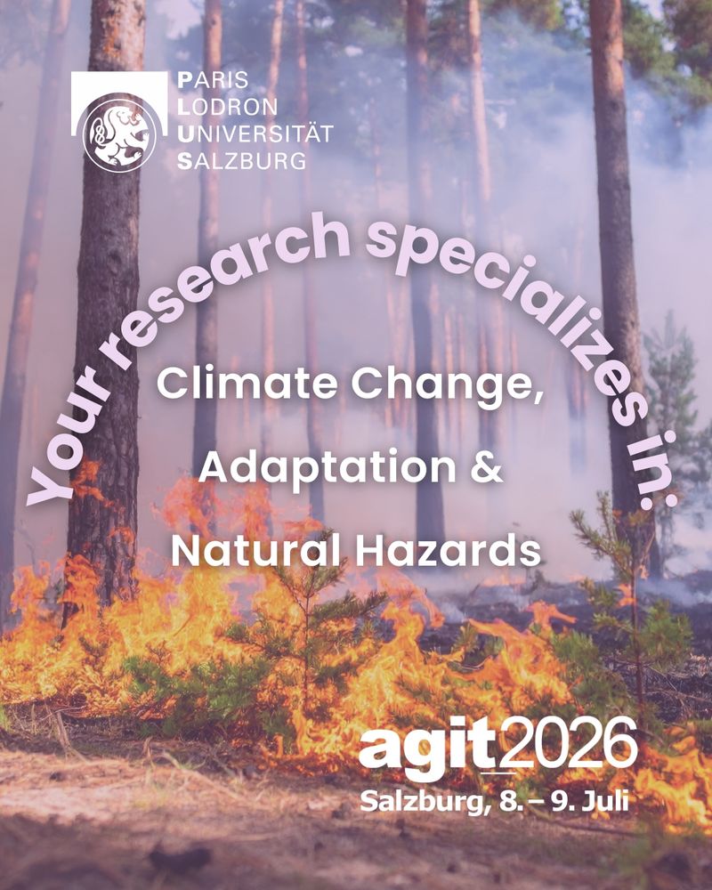
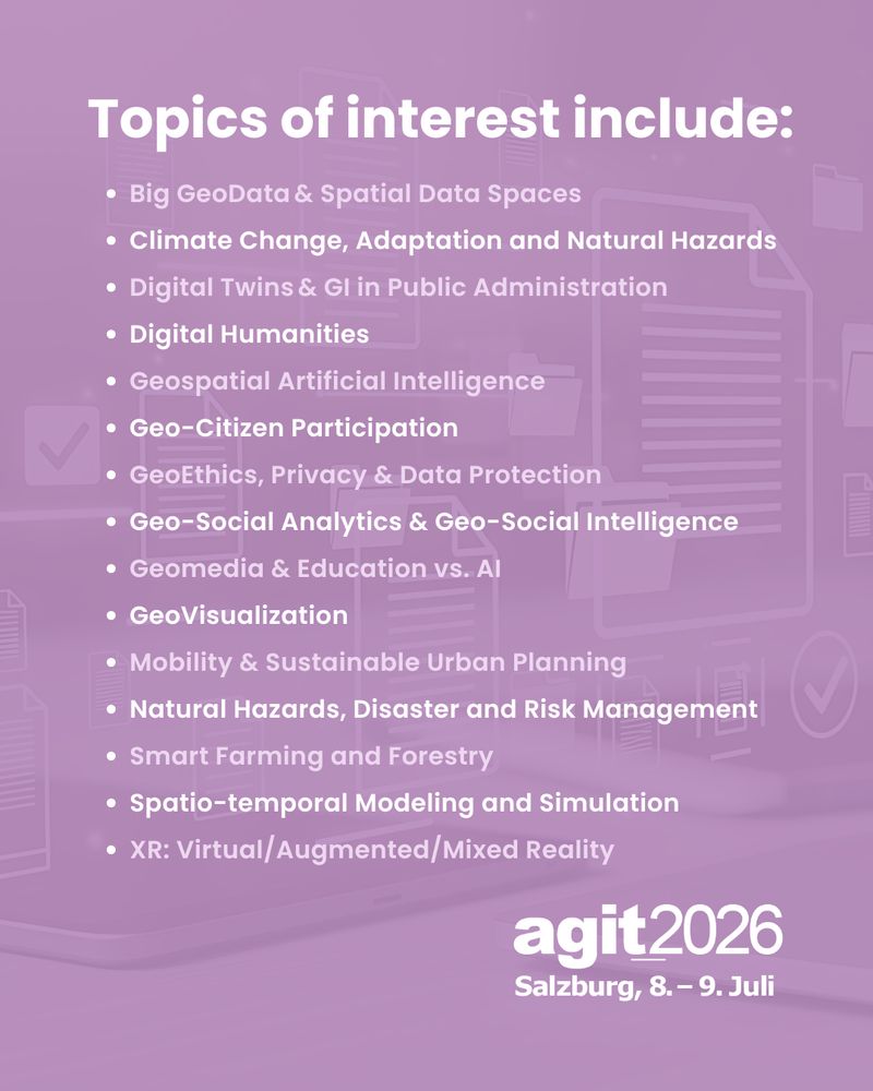
"Big Geo Data & Spatial Data Spaces" is one of our 15 key topics at AGIT 2026. Submit your work at agit.at/submissions. Our program committee is excited to review your papers. 📬


December 2, 2025 at 10:46 AM
"Big Geo Data & Spatial Data Spaces" is one of our 15 key topics at AGIT 2026. Submit your work at agit.at/submissions. Our program committee is excited to review your papers. 📬
Reposted by Z_GIS - Department of Geoinformatics
📢 Call for Papers – AGIT 2026!
Share your research and insights at next year's AGIT Conference. Submit your papers here: www.agit.at/submissions! 👩🏼💻👨🏻💻🌍
#agit2026 #geoinformatics #techconference #futureofIT #shapinggeospatialfutures
Share your research and insights at next year's AGIT Conference. Submit your papers here: www.agit.at/submissions! 👩🏼💻👨🏻💻🌍
#agit2026 #geoinformatics #techconference #futureofIT #shapinggeospatialfutures


November 18, 2025 at 12:12 PM
📢 Call for Papers – AGIT 2026!
Share your research and insights at next year's AGIT Conference. Submit your papers here: www.agit.at/submissions! 👩🏼💻👨🏻💻🌍
#agit2026 #geoinformatics #techconference #futureofIT #shapinggeospatialfutures
Share your research and insights at next year's AGIT Conference. Submit your papers here: www.agit.at/submissions! 👩🏼💻👨🏻💻🌍
#agit2026 #geoinformatics #techconference #futureofIT #shapinggeospatialfutures
Reposted by Z_GIS - Department of Geoinformatics
💥New call: Erasmus Mundus “Copernicus Master in Digital Earth”! Scholarship applications are welcome from international as well as European candidates with a strong geospatial background. Deadline Jan 18, details www.master-cde.eu

November 13, 2025 at 7:25 AM
💥New call: Erasmus Mundus “Copernicus Master in Digital Earth”! Scholarship applications are welcome from international as well as European candidates with a strong geospatial background. Deadline Jan 18, details www.master-cde.eu
Reposted by Z_GIS - Department of Geoinformatics

Join us for this #webinar with Sara Tremi Proietti, Mike Prior-Jones, and Jaz Millar, who will share their experiences and expertise on effective communication and actions to support #LGBT+ #equality.
📆 Wednesday, 26 November 2025 17:00 CET
👉 Register here: egu.eu/9P08T5
📆 Wednesday, 26 November 2025 17:00 CET
👉 Register here: egu.eu/9P08T5

November 14, 2025 at 12:11 PM
Join us for this #webinar with Sara Tremi Proietti, Mike Prior-Jones, and Jaz Millar, who will share their experiences and expertise on effective communication and actions to support #LGBT+ #equality.
📆 Wednesday, 26 November 2025 17:00 CET
👉 Register here: egu.eu/9P08T5
📆 Wednesday, 26 November 2025 17:00 CET
👉 Register here: egu.eu/9P08T5
Reposted by Z_GIS - Department of Geoinformatics
📢We are hiring!
🌍 We currently have two open positions in #geoinformatics and #remotesensing - from fundamental PhD research to applied data science work. Details & application:
1.) karriere.plus.ac.at/en/jobs/9dae...
2.) karriere.plus.ac.at/de/jobs/d3a9...
#geomorphology #earthobservation #InSAR
🌍 We currently have two open positions in #geoinformatics and #remotesensing - from fundamental PhD research to applied data science work. Details & application:
1.) karriere.plus.ac.at/en/jobs/9dae...
2.) karriere.plus.ac.at/de/jobs/d3a9...
#geomorphology #earthobservation #InSAR
November 3, 2025 at 7:43 AM
📢We are hiring!
🌍 We currently have two open positions in #geoinformatics and #remotesensing - from fundamental PhD research to applied data science work. Details & application:
1.) karriere.plus.ac.at/en/jobs/9dae...
2.) karriere.plus.ac.at/de/jobs/d3a9...
#geomorphology #earthobservation #InSAR
🌍 We currently have two open positions in #geoinformatics and #remotesensing - from fundamental PhD research to applied data science work. Details & application:
1.) karriere.plus.ac.at/en/jobs/9dae...
2.) karriere.plus.ac.at/de/jobs/d3a9...
#geomorphology #earthobservation #InSAR
Reposted by Z_GIS - Department of Geoinformatics
Mark your calendars! 🗓️✍🏻 The AGIT Conference will return – and once again the Geoinformatics networking event will be hosted at the NLS Faculty (former NaWi) in Salzburg from July 8–9, 2026. 🎉🪩🌍
#agit #agitconference #geoai
#agit #agitconference #geoai

September 29, 2025 at 12:16 PM
Mark your calendars! 🗓️✍🏻 The AGIT Conference will return – and once again the Geoinformatics networking event will be hosted at the NLS Faculty (former NaWi) in Salzburg from July 8–9, 2026. 🎉🪩🌍
#agit #agitconference #geoai
#agit #agitconference #geoai
Reposted by Z_GIS - Department of Geoinformatics
What happens to mountain trails, hiking infrastructure and safety as glaciers retreat and the terrain becomes unstable? We recently had the exciting chance to share insights from our ReHIKE project in a great film by the Deutscher Alpenverein.
www.youtube.com/watch?v=0XS5...
www.youtube.com/watch?v=0XS5...

Was passiert, wenn der Berg bröckelt? Klimawandelfolgen in den Alpen, Teil 3
YouTube video by Deutscher Alpenverein (DAV)
www.youtube.com
October 11, 2025 at 7:42 AM
What happens to mountain trails, hiking infrastructure and safety as glaciers retreat and the terrain becomes unstable? We recently had the exciting chance to share insights from our ReHIKE project in a great film by the Deutscher Alpenverein.
www.youtube.com/watch?v=0XS5...
www.youtube.com/watch?v=0XS5...
Reposted by Z_GIS - Department of Geoinformatics
Visiting an alpine ice cave - the mass of ice just a few years ago was level with the top of the spiral staircase. Will be gone altogether soon, even though the oldest layers are dated approx. 3000 years BP


October 11, 2025 at 7:57 PM
Visiting an alpine ice cave - the mass of ice just a few years ago was level with the top of the spiral staircase. Will be gone altogether soon, even though the oldest layers are dated approx. 3000 years BP
Reposted by Z_GIS - Department of Geoinformatics
The submission deadlines for AGIT 2026 have been set, along with the key topics for workshops, presentations, pitches and posters. Who will submit their work this year? 🌍
#agitconference2026 #geoinformatics
Find out more: www.agit.at/en/submissions
#agitconference2026 #geoinformatics
Find out more: www.agit.at/en/submissions


October 27, 2025 at 1:31 PM
The submission deadlines for AGIT 2026 have been set, along with the key topics for workshops, presentations, pitches and posters. Who will submit their work this year? 🌍
#agitconference2026 #geoinformatics
Find out more: www.agit.at/en/submissions
#agitconference2026 #geoinformatics
Find out more: www.agit.at/en/submissions


Reposted by Z_GIS - Department of Geoinformatics
Join us as a partner of one of the leading Geoinformatics Conferences in the German-speaking world. 🌍 We're excited to collaborate with you. Let's shape the future of Geoinformatics together! 🤝 Contact: office@agit.at | www.agit.at/en/sponsoring
#agit2026 #summer2026 #sponsorship
#agit2026 #summer2026 #sponsorship


October 29, 2025 at 9:31 AM
Join us as a partner of one of the leading Geoinformatics Conferences in the German-speaking world. 🌍 We're excited to collaborate with you. Let's shape the future of Geoinformatics together! 🤝 Contact: office@agit.at | www.agit.at/en/sponsoring
#agit2026 #summer2026 #sponsorship
#agit2026 #summer2026 #sponsorship
Reposted by Z_GIS - Department of Geoinformatics
Happy to share our new paper on #remotesensing of #peatlands 👇! Our research can inform understanding on how #Sentinel-1 #SAR data can support the mapping of this unique habitat and provide some insight into its relative condition. Many thanks to @jarrettinho.bsky.social for the great collaboration.
After 18 months of research with Dr Daniel Hölbling @zgis.bsky.social, our work on #Sentinel1 #sar to delineate #peatland has been published.
www.mdpi.com/2072-4292/17...
We have plenty more ideas to support #naturebasedsolutions. Check out our previous research www.mdpi.com/2335050
Get in touch.
www.mdpi.com/2072-4292/17...
We have plenty more ideas to support #naturebasedsolutions. Check out our previous research www.mdpi.com/2335050
Get in touch.

September 15, 2025 at 7:06 AM
Happy to share our new paper on #remotesensing of #peatlands 👇! Our research can inform understanding on how #Sentinel-1 #SAR data can support the mapping of this unique habitat and provide some insight into its relative condition. Many thanks to @jarrettinho.bsky.social for the great collaboration.
🎓👏
Honorary professorships come with fewer obligations. So, that's a win! Thanks, Osh Technological University!

August 25, 2025 at 10:55 AM
🎓👏
Reposted by Z_GIS - Department of Geoinformatics

Im INTERVIEW mit Geoinformatiker Stefan Lang, der das Christian Doppler Labor für Geodaten- und Erdbeobachtungs-basierte humanitäre Technologien (GEOHUM) leitet > tinyurl.com/28yc3kj8
#universitätsalzburg #geohum #ärzteohnegrenzen #digital
#universitätsalzburg #geohum #ärzteohnegrenzen #digital

Digitale Technologien in der humanitären Hilfe – Geoinformatiker Stefan Lang über Chancen, Risiken und reflektierten Einsatz - Universität Salzburg
Geoinformatiker Stefan Lang leitet das Christian Doppler Labor für Geodaten- und Erdbeobachtungs-basierte humanitäre Technologien (GEOHUM), das aus der langjährigen Kooperation mit der NGO „Ärzte ohne...
www.plus.ac.at
August 20, 2025 at 8:45 AM
Im INTERVIEW mit Geoinformatiker Stefan Lang, der das Christian Doppler Labor für Geodaten- und Erdbeobachtungs-basierte humanitäre Technologien (GEOHUM) leitet > tinyurl.com/28yc3kj8
#universitätsalzburg #geohum #ärzteohnegrenzen #digital
#universitätsalzburg #geohum #ärzteohnegrenzen #digital