


@sausiuswx.bsky.social
Average weather enthusiast -
Main areas of interest: Tropical Cyclones and (European) severewx
Main areas of interest: Tropical Cyclones and (European) severewx
Animation of the infamous 2022 Hunga Tonga–Hunga Haʻapai eruption to celebrate my ability to produce EIR loops for any coordinates.
Data courtesy of JMA and provided via AWS, Visualisation is my own with help from Gemini 3.0 Pro
Data courtesy of JMA and provided via AWS, Visualisation is my own with help from Gemini 3.0 Pro
December 3, 2025 at 10:49 PM
Animation of the infamous 2022 Hunga Tonga–Hunga Haʻapai eruption to celebrate my ability to produce EIR loops for any coordinates.
Data courtesy of JMA and provided via AWS, Visualisation is my own with help from Gemini 3.0 Pro
Data courtesy of JMA and provided via AWS, Visualisation is my own with help from Gemini 3.0 Pro
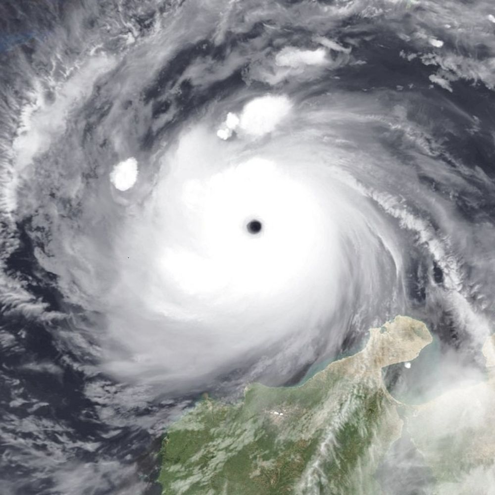
On this day in 2004 Typhoon Nanmadol made landfall in Luzon. Even tho the storm had weakened considerably from its peak intensity as a Super Typhoon (JTWC), it still packed a punch. 70 people perished and damages amounted to 39.3 Million dollars (67 mil in todays money). #OTDwx
December 2, 2025 at 11:09 PM
On this day in 2004 Typhoon Nanmadol made landfall in Luzon. Even tho the storm had weakened considerably from its peak intensity as a Super Typhoon (JTWC), it still packed a punch. 70 people perished and damages amounted to 39.3 Million dollars (67 mil in todays money). #OTDwx
By now I am late to the party that Senyar has made history by crossing the Malay Peninsula from the west. JMA lists it as a TD at the moment but it is forecast to become a tropical storm again. JMA seems to treat it like a new system, so I assume they'll re-name it to Nokaen.
November 28, 2025 at 9:13 PM
By now I am late to the party that Senyar has made history by crossing the Malay Peninsula from the west. JMA lists it as a TD at the moment but it is forecast to become a tropical storm again. JMA seems to treat it like a new system, so I assume they'll re-name it to Nokaen.
Update: Koto is basically dead already😂
November 27, 2025 at 11:41 PM
Update: Koto is basically dead already😂
Invest 96B near Sri Lanka has been put under Tropical Cyclone formation alert by JTWC and labelled as a depression by IMD. The next name is Ditwah. It's likely to develop into a tropical storm under marginally favourable conditions as it stays near the (S)E coast of India.
November 26, 2025 at 11:40 PM
Invest 96B near Sri Lanka has been put under Tropical Cyclone formation alert by JTWC and labelled as a depression by IMD. The next name is Ditwah. It's likely to develop into a tropical storm under marginally favourable conditions as it stays near the (S)E coast of India.
Koto has steadily strengthened and has now become a typhoon according to both JMA and JTWC. Koto features a somehwat assymetrical CDO, possibly already due to shear. Core is likely partial via MW. The environment is expected to deterioate tomorrow, likely causing weakening.
November 26, 2025 at 11:15 PM
Koto has steadily strengthened and has now become a typhoon according to both JMA and JTWC. Koto features a somehwat assymetrical CDO, possibly already due to shear. Core is likely partial via MW. The environment is expected to deterioate tomorrow, likely causing weakening.
With tropical storm 04B (still TD by IMD standards) a rare tropical Cyclone has formed in the straight of Malacca and only within 5° of the Equator, which is remarkable in and of itself. It won't be long for this worl but its mere existence is quite meteorologically remarkable
November 25, 2025 at 8:24 PM
With tropical storm 04B (still TD by IMD standards) a rare tropical Cyclone has formed in the straight of Malacca and only within 5° of the Equator, which is remarkable in and of itself. It won't be long for this worl but its mere existence is quite meteorologically remarkable
JMA has now also designated the system currently crossing out of the Sulu Sea & named it Koto (VerbenaPH). Some strengthening is expected but shear should begin to become unfavourable tomorrow. Koto also likely to get into a steering col by Thursday & may not reach the coast of Vietnam by weeks end.
November 25, 2025 at 3:05 PM
JMA has now also designated the system currently crossing out of the Sulu Sea & named it Koto (VerbenaPH). Some strengthening is expected but shear should begin to become unfavourable tomorrow. Koto also likely to get into a steering col by Thursday & may not reach the coast of Vietnam by weeks end.
The system moving through the Phillipines (VerbanaPH) has now been designated as a tropical depression by JTWC. While the system is forecast to become a brief typhoon in the South China sea, it is not expected to effect land as such and may not even reach land in the next 5 days. Next name: Koto
November 24, 2025 at 10:35 PM
The system moving through the Phillipines (VerbanaPH) has now been designated as a tropical depression by JTWC. While the system is forecast to become a brief typhoon in the South China sea, it is not expected to effect land as such and may not even reach land in the next 5 days. Next name: Koto