


Jessy Faas
@jessyfaas.bsky.social
Teacher and education coordinator @ Esri Netherlands
Helping schools and universities with using GIS in their education
Education | Maps | Geography | Onderwijs | GIS | Kaarten | Geografie | Aardrijkskunde | VO
📍The Netherlands
Views are my own
Helping schools and universities with using GIS in their education
Education | Maps | Geography | Onderwijs | GIS | Kaarten | Geografie | Aardrijkskunde | VO
📍The Netherlands
Views are my own
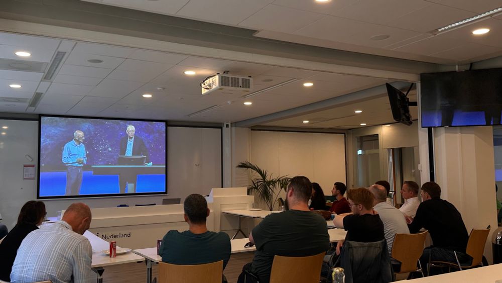
Reading Telling Stories with Maps from Allen Carroll while on the train to an event to talk with professors about GIS

August 27, 2025 at 5:34 AM
Reading Telling Stories with Maps from Allen Carroll while on the train to an event to talk with professors about GIS
In 2016 and 2017, I created maps to accompany news articles for @bnr.nl (dutch media outlet) during an internship. That internship was my first introduction to creating journalistic maps.
July 1, 2025 at 11:39 AM
In 2016 and 2017, I created maps to accompany news articles for @bnr.nl (dutch media outlet) during an internship. That internship was my first introduction to creating journalistic maps.
Reposted by Jessy Faas

Top insights on mapping from our colleague @tierneymaps.bsky.social Looking forward to presenting with her and @johnnelsonmaps.bsky.social at #EsriUC. Bookmark the Thematic Mapping Tech Workshops. youtu.be/zF6z_Z7m9gI?...

Making Maps for the News | Behind the Map
YouTube video by Maps Dot Com
youtu.be
July 1, 2025 at 4:29 AM
Top insights on mapping from our colleague @tierneymaps.bsky.social Looking forward to presenting with her and @johnnelsonmaps.bsky.social at #EsriUC. Bookmark the Thematic Mapping Tech Workshops. youtu.be/zF6z_Z7m9gI?...
This dataset from iNaturalist is great, i once used it to create a quick map of elephant observations

June 24, 2025 at 12:57 PM
This dataset from iNaturalist is great, i once used it to create a quick map of elephant observations
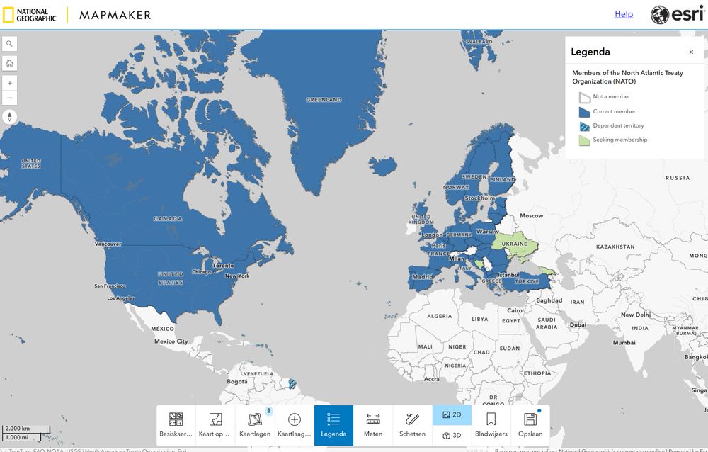
Are you talking with students about the current NATO summit? This map can be usefull in the conversation: arcg.is/1ePjye3
#GIS #Geography #GISMap #Mapping #teaching #NATO #Map
#GIS #Geography #GISMap #Mapping #teaching #NATO #Map
June 24, 2025 at 12:29 PM
Are you talking with students about the current NATO summit? This map can be usefull in the conversation: arcg.is/1ePjye3
#GIS #Geography #GISMap #Mapping #teaching #NATO #Map
#GIS #Geography #GISMap #Mapping #teaching #NATO #Map
Have you heard of National Geographic MapMaker? Specially made for educators and K12 students: www.nationalgeographic.org/society/lear... Use it to teach with the power of #GIS Maps!
#teaching #Maps #geography #MapMaker #Esri
#teaching #Maps #geography #MapMaker #Esri
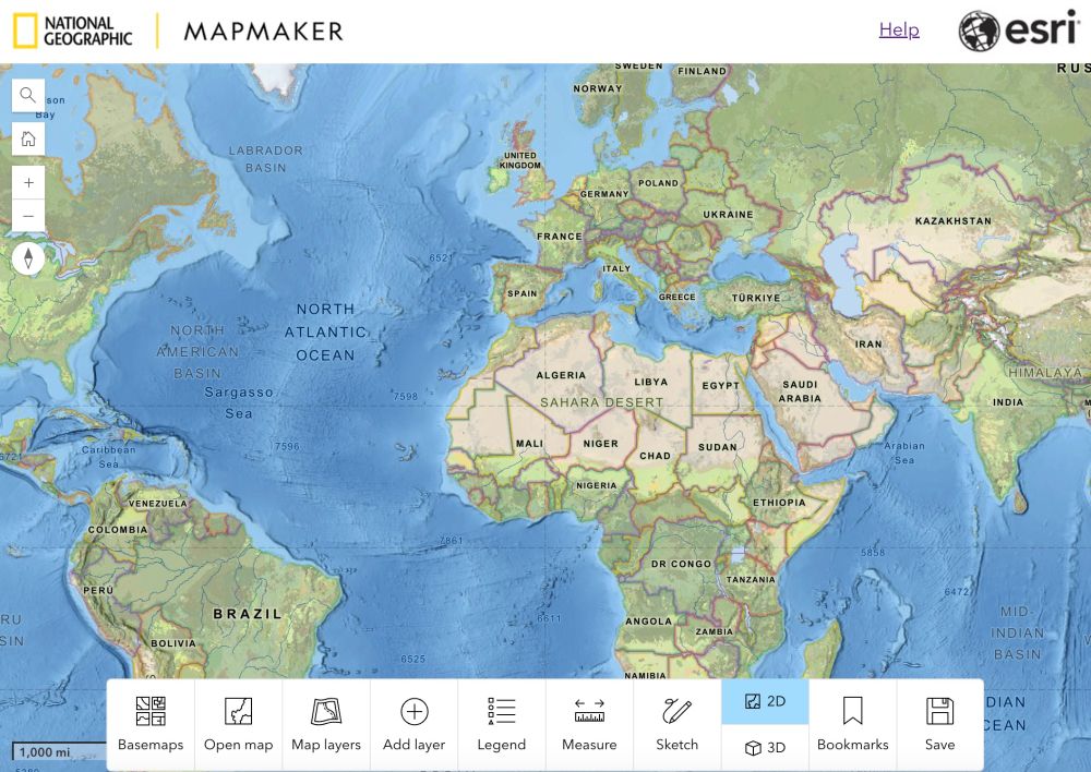
MapMaker Launch Guide - National Geographic Society
MapMaker is a digital mapping tool, created by the National Geographic Society and Esri, designed for teachers, students, and National Geographic Explorers.
www.nationalgeographic.org
May 22, 2025 at 12:30 PM
Have you heard of National Geographic MapMaker? Specially made for educators and K12 students: www.nationalgeographic.org/society/lear... Use it to teach with the power of #GIS Maps!
#teaching #Maps #geography #MapMaker #Esri
#teaching #Maps #geography #MapMaker #Esri