


SamuelG
@cyclovort1.bsky.social
Weather enthusiast, Undergraduate at OU Class of ‘28
I like research
I like research
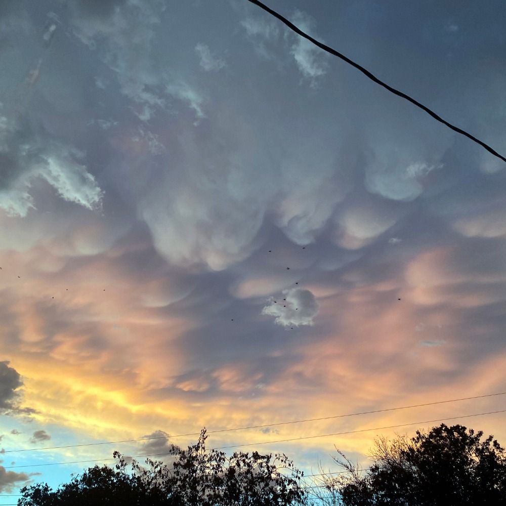
Now if the MPAS models verify...


March 29, 2025 at 5:49 PM
Now if the MPAS models verify...
Pretty solid cold-core setup in northern and eastern Illinois tomorrow. Impressive moisture return will allow for low to mid 50s F dewpoints in northern/eastern Illinois. On top of this moisture plume, ~-20C temperatures will allow for strong low and mid level lapse rates to develop.


March 18, 2025 at 7:59 PM
Pretty solid cold-core setup in northern and eastern Illinois tomorrow. Impressive moisture return will allow for low to mid 50s F dewpoints in northern/eastern Illinois. On top of this moisture plume, ~-20C temperatures will allow for strong low and mid level lapse rates to develop.
A coldcore-ish setup will be in place in the TX panhandle/SW OK tomorrow. Despite the lack of quality moisture, morning convection will allow for higher moisture amounts in the area. A very convergent/vorticious zone will allow for some tornado potential for supercells that form.


March 2, 2025 at 3:28 AM
A coldcore-ish setup will be in place in the TX panhandle/SW OK tomorrow. Despite the lack of quality moisture, morning convection will allow for higher moisture amounts in the area. A very convergent/vorticious zone will allow for some tornado potential for supercells that form.
-very unstable airmass along/near the dryline, yet storms were still having outflow dominance issues. Perhaps it was the somewhat weak low-level shear and/or the almost SSWerly surface winds?


February 22, 2025 at 5:16 AM
-very unstable airmass along/near the dryline, yet storms were still having outflow dominance issues. Perhaps it was the somewhat weak low-level shear and/or the almost SSWerly surface winds?
Water Vapor imagery depicts much higher water vapor in NW OK and the TX panhandle. This mass is moving east and will be impacting us OKC/Norman folks soon, probably in the form of a mix/snow.

February 18, 2025 at 5:00 PM
Water Vapor imagery depicts much higher water vapor in NW OK and the TX panhandle. This mass is moving east and will be impacting us OKC/Norman folks soon, probably in the form of a mix/snow.
Andy Wade's temperature verification website is wonderful for this!

February 11, 2025 at 6:15 PM
Andy Wade's temperature verification website is wonderful for this!
Also side note, DDC's 12z sounding had a -4.0C/km 0-3km lapse rate. Assuming SPC sounding climatology is absolutely correct(which I know it isn't 100% correct), it would be the lowest lapse rate recorded for DDC.


February 4, 2025 at 11:58 PM
Also side note, DDC's 12z sounding had a -4.0C/km 0-3km lapse rate. Assuming SPC sounding climatology is absolutely correct(which I know it isn't 100% correct), it would be the lowest lapse rate recorded for DDC.
Temperatures have massively been colder than predicted today behind the cold front; here in Norman, temperatures were forecasted in the upper 40s and low 50s, yet temperatures never exceeded 38F!

February 4, 2025 at 11:52 PM
Temperatures have massively been colder than predicted today behind the cold front; here in Norman, temperatures were forecasted in the upper 40s and low 50s, yet temperatures never exceeded 38F!
CU beginning to bubble up, and dewpoints entering the high 50s-low 60s. Clouds are beginning to clear; destabilization is likely ongoing, although the extent will be uncertain. As usual with dryline events, initiation may be 1-2 hours earlier than modelled.

October 21, 2024 at 5:37 PM
CU beginning to bubble up, and dewpoints entering the high 50s-low 60s. Clouds are beginning to clear; destabilization is likely ongoing, although the extent will be uncertain. As usual with dryline events, initiation may be 1-2 hours earlier than modelled.
I only see a 2% tornado risk? Although I do see a possibility at an upgrade in the future

October 21, 2024 at 2:42 PM
I only see a 2% tornado risk? Although I do see a possibility at an upgrade in the future
Today looks like a decent severe day for severe storms and possibly tornadoes. An outflow boundary from previous storms exists in NE NM, and may act as a psuedo-warm front for storms later today. This OFB may back winds further and inflate hodographs some, allowing for enhanced tornado potential.


October 19, 2024 at 2:25 PM
Today looks like a decent severe day for severe storms and possibly tornadoes. An outflow boundary from previous storms exists in NE NM, and may act as a psuedo-warm front for storms later today. This OFB may back winds further and inflate hodographs some, allowing for enhanced tornado potential.
Severe storms may occur today in NM, but issues arise regarding moisture before 01z. It is uncertain how much moisture will exist during the day, but warm air advection provided by a SErly low level jet may help moisten the environment and keep the BL coupled, allowing for at least mild instability.


October 18, 2024 at 7:07 PM
Severe storms may occur today in NM, but issues arise regarding moisture before 01z. It is uncertain how much moisture will exist during the day, but warm air advection provided by a SErly low level jet may help moisten the environment and keep the BL coupled, allowing for at least mild instability.