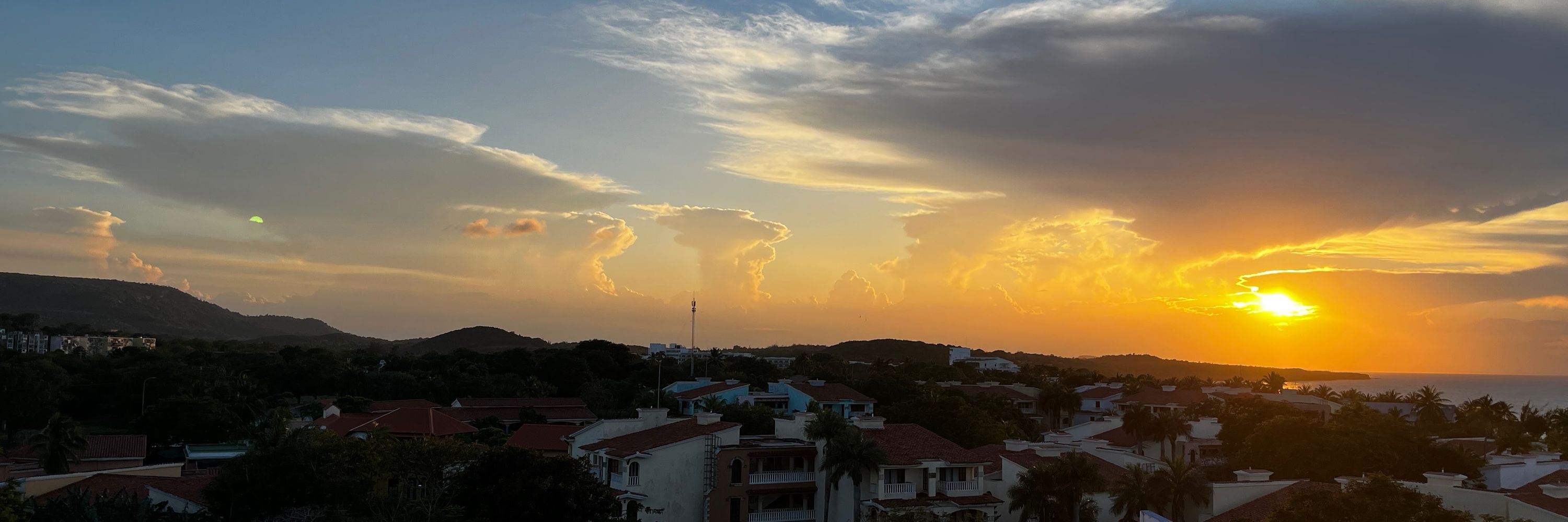
Sunday (not shown) should be a nice day... expect that after this European trip, we'll be starting some Christmas decorating.
Sunday (not shown) should be a nice day... expect that after this European trip, we'll be starting some Christmas decorating.


Cools down as December starts... maybe a setup for snow?

Cools down as December starts... maybe a setup for snow?
Fine Wednesday-Friday. Showery Saturday.

Fine Wednesday-Friday. Showery Saturday.
A colder gusty west wind Monday with rain or wet snow; again making travel tricky.
The chilly west winds persist into Wednesday.
Stormy rain (snow N) Saturday

A colder gusty west wind Monday with rain or wet snow; again making travel tricky.
The chilly west winds persist into Wednesday.
Stormy rain (snow N) Saturday
Rain and strong SE winds Sunday. Could be icy start in morning; in fact stays as snow (5-10cm) in NW NB.
Gusty NW winds and cooler Monday; showers or flurries more likely in onshore flow.

Rain and strong SE winds Sunday. Could be icy start in morning; in fact stays as snow (5-10cm) in NW NB.
Gusty NW winds and cooler Monday; showers or flurries more likely in onshore flow.


Wind & rain (wintry mix NB) develops Sunday, tapering to showers/flurries late Monday.

Wind & rain (wintry mix NB) develops Sunday, tapering to showers/flurries late Monday.
Improving Friday aft into Saturday. Next system set for Sunday. Details:
NS: www.youtube.com/watch?v=ArI2...
NB: www.cbc.ca/player/play/...
#nsstorm #halisky


Improving Friday aft into Saturday. Next system set for Sunday. Details:
NS: www.youtube.com/watch?v=ArI2...
NB: www.cbc.ca/player/play/...
#nsstorm #halisky
Fine Saturday.
Windy with mostly rain over NS-PEI and a wintry mix in NB Sunday and Monday.

Fine Saturday.
Windy with mostly rain over NS-PEI and a wintry mix in NB Sunday and Monday.
A solid shot for eastern NS!
Things remain unsettled over the next couple of days, especially in the eastern Maritimes.
Full forecast details...
Nova Scotia: www.youtube.com/watch?v=rnY8...
New Brunswick:
www.cbc.ca/player/play/...

A solid shot for eastern NS!
Things remain unsettled over the next couple of days, especially in the eastern Maritimes.
Full forecast details...
Nova Scotia: www.youtube.com/watch?v=rnY8...
New Brunswick:
www.cbc.ca/player/play/...
Due to recent precipitation, Halifax Water’s source water supply has started to replenish and recover. Effective immediately, all customers serviced by Lake Major are returned to voluntary water restrictions.
halifaxwater.ca/alert/lake-m...
1/2

Due to recent precipitation, Halifax Water’s source water supply has started to replenish and recover. Effective immediately, all customers serviced by Lake Major are returned to voluntary water restrictions.
halifaxwater.ca/alert/lake-m...
1/2
A cold west flow triggered patchy snow overnight. Will now have to consider roads, as snow accompanies our systems; including the weak one Thurs am & a stronger one late Sunday.

A cold west flow triggered patchy snow overnight. Will now have to consider roads, as snow accompanies our systems; including the weak one Thurs am & a stronger one late Sunday.
Rain will return to the eastern half of the Maritimes by evening & end overnight.
Flurries will develop in chilly west winds before dawn; a coating on elevated roads? Clearing follows.

Rain will return to the eastern half of the Maritimes by evening & end overnight.
Flurries will develop in chilly west winds before dawn; a coating on elevated roads? Clearing follows.
There is a line of heavy rain & thunderstorms lined up toward the Atlantic coast of NS (flash flood risk).
The high resolution CDN model has HFX area under the torrential rain area (100+mm)!
Stay safe...

There is a line of heavy rain & thunderstorms lined up toward the Atlantic coast of NS (flash flood risk).
The high resolution CDN model has HFX area under the torrential rain area (100+mm)!
Stay safe...
Rain (snow at first parts NB) develops tonight. Rain at times heavy Mon night-Tues & strong SE winds Fundy & Atl coasts. Models are indicating chances over 100mm (flooding) along Atl coast. (EU has risk over S Shore. CDN has risk E shore-CB).
Stay tuned

Rain (snow at first parts NB) develops tonight. Rain at times heavy Mon night-Tues & strong SE winds Fundy & Atl coasts. Models are indicating chances over 100mm (flooding) along Atl coast. (EU has risk over S Shore. CDN has risk E shore-CB).
Stay tuned
Rain moves in Monday (mix N NB); persists NS Tuesday; heaviest east.

Rain moves in Monday (mix N NB); persists NS Tuesday; heaviest east.
Rain develops overnight/early Saturday (10-20mm NS & 5-10mm NB-PEI).
Heavier rain returns Mon-Tues.

Rain develops overnight/early Saturday (10-20mm NS & 5-10mm NB-PEI).
Heavier rain returns Mon-Tues.


The rain finally tapers to showers or drizzle this aftn or eve. NS will total 20-40mm (50mm possible along the Atlantic coast).
Gusty & chilly NW winds Friday. Another rain event Saturday.

The rain finally tapers to showers or drizzle this aftn or eve. NS will total 20-40mm (50mm possible along the Atlantic coast).
Gusty & chilly NW winds Friday. Another rain event Saturday.
Recent rain has helped, but it's not enough to lift water restrictions.
Lake Major: mandatory
Pockwock Lake: voluntary
While additional rainfall is forecasted, current conditions require continued conservation efforts.
Please keep conserving water—every drop counts!

Recent rain has helped, but it's not enough to lift water restrictions.
Lake Major: mandatory
Pockwock Lake: voluntary
While additional rainfall is forecasted, current conditions require continued conservation efforts.
Please keep conserving water—every drop counts!


