
A low-end tornado risk is possible back toward middle TN. I’ll post a video update with more info later today.


A low-end tornado risk is possible back toward middle TN. I’ll post a video update with more info later today.

Get all the info at wvlt.tv/weather and in the WVLT First Alert Weather app!

Get all the info at wvlt.tv/weather and in the WVLT First Alert Weather app!
A brief period of sleet or freezing rain is most likely Sunday because of a warm layer aloft (above 32°) which we call the melting layer.
It will likely change over to snow showers Monday because the air will be below 32° all the way up through the atmosphere. 

A brief period of sleet or freezing rain is most likely Sunday because of a warm layer aloft (above 32°) which we call the melting layer.
It will likely change over to snow showers Monday because the air will be below 32° all the way up through the atmosphere. 
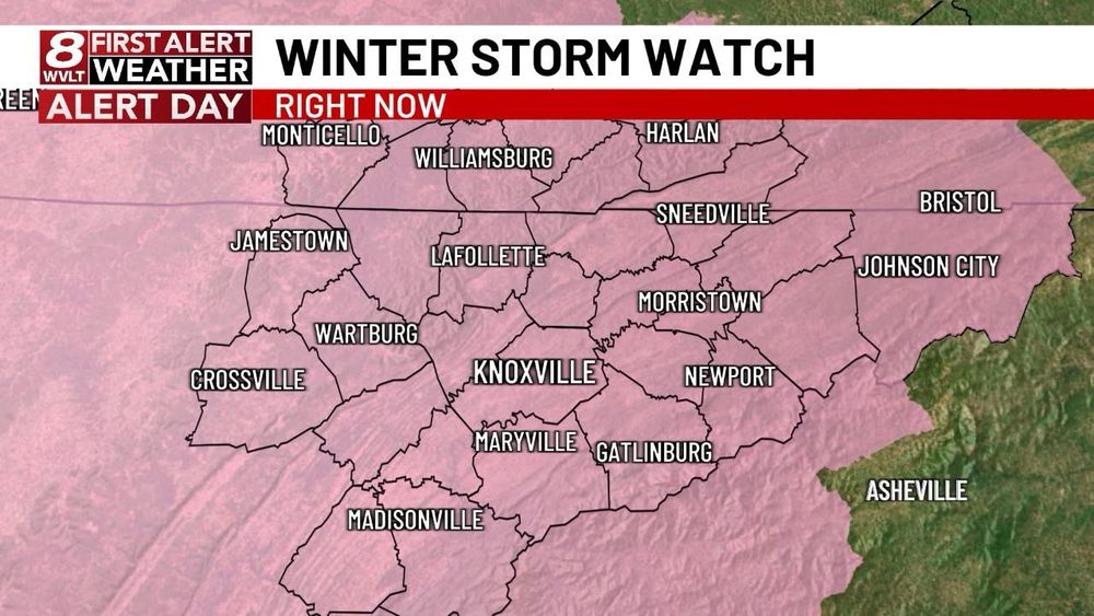
I mentioned this possibility yesterday. Plan for slick roads, especially bridges and over passes Sunday in these areas. This does not include Knox County at this time.

I mentioned this possibility yesterday. Plan for slick roads, especially bridges and over passes Sunday in these areas. This does not include Knox County at this time.


#perspective
#perspective
Anyone else see it?
Anyone else see it?

📸 - Betty Richardson

📸 - Betty Richardson


