


Pat Hyland
@hylandwx.bsky.social
AMS Certified Consulting Meteorologist (#771) | Forensic Meteorologist | Outreach Specialist | Trivia Host | Marathoner | Game Show Champion
Pinned
Pat Hyland
@hylandwx.bsky.social
· Aug 16
Breathtaking video from the 53rd Weather Reconnaissance Squadron of the stadium effect inside the eye of Hurricane Erin from last night’s pass
These observations are crucial for improving forecasts and keeping people safe
These observations are crucial for improving forecasts and keeping people safe
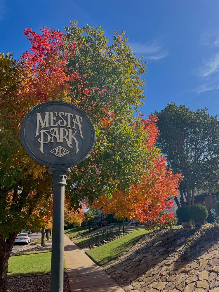
The double cheeseburger at Bar Arbolada in OKC is next level

November 11, 2025 at 12:23 AM
The double cheeseburger at Bar Arbolada in OKC is next level


Wind Warning in effect for St. John’s, Newfoundland and Labrador, Canada as a strong area of low pressure moves across the easternmost city in North America
November 5, 2025 at 3:49 AM
Wind Warning in effect for St. John’s, Newfoundland and Labrador, Canada as a strong area of low pressure moves across the easternmost city in North America
You can see the smoke plume from the UPS plane crash in Louisville, Kentucky from the KLVX radar
November 4, 2025 at 11:33 PM
You can see the smoke plume from the UPS plane crash in Louisville, Kentucky from the KLVX radar
Without a doubt the most breathtaking and awe-inspiring imagery you’ve ever seen inside the eye of a hurricane
(Video from TEAL76, a USAF Reserve Hurricane Hunter crew from the 53rd Weather Reconnaissance Squadron, during a pass through Hurricane Melissa)
(Video from TEAL76, a USAF Reserve Hurricane Hunter crew from the 53rd Weather Reconnaissance Squadron, during a pass through Hurricane Melissa)

1547Z pass through Hurricane Melissa on 27 October
YouTube video by Flynonymous WX
youtu.be
October 29, 2025 at 2:11 AM
Without a doubt the most breathtaking and awe-inspiring imagery you’ve ever seen inside the eye of a hurricane
(Video from TEAL76, a USAF Reserve Hurricane Hunter crew from the 53rd Weather Reconnaissance Squadron, during a pass through Hurricane Melissa)
(Video from TEAL76, a USAF Reserve Hurricane Hunter crew from the 53rd Weather Reconnaissance Squadron, during a pass through Hurricane Melissa)
The Copernicus Sentinel-2 polar-orbiting satellite made an extremely fortuitous pass over Hurricane Melissa right before it made landfall in Jamaica to provide these stunning images of one of the most powerful Atlantic hurricanes in history

October 28, 2025 at 10:04 PM
The Copernicus Sentinel-2 polar-orbiting satellite made an extremely fortuitous pass over Hurricane Melissa right before it made landfall in Jamaica to provide these stunning images of one of the most powerful Atlantic hurricanes in history
Per the National Hurricane Center, Hurricane Melissa made landfall near New Hope, Jamaica with estimated maximum sustained winds of 185 mph and an estimated minimum central pressure of 892 mb

October 28, 2025 at 5:16 PM
Per the National Hurricane Center, Hurricane Melissa made landfall near New Hope, Jamaica with estimated maximum sustained winds of 185 mph and an estimated minimum central pressure of 892 mb
At a loss for words - about as textbook of a devastating Category 5 as you’ll ever see

October 28, 2025 at 4:12 PM
At a loss for words - about as textbook of a devastating Category 5 as you’ll ever see
What is truly remarkable is this dropsonde data is the measure along one specific fall path to create a composite of the storm structure and average wind profile - stronger winds could very likely be present within Melissa (notwithstanding the overall wind field as a whole)

This is hands down the most extraordinary dropsonde in Atlantic recon history.

October 28, 2025 at 2:58 PM
What is truly remarkable is this dropsonde data is the measure along one specific fall path to create a composite of the storm structure and average wind profile - stronger winds could very likely be present within Melissa (notwithstanding the overall wind field as a whole)
Hurricane Melissa just eclipsed Hurricane Patricia (2015) for the highest ADT ever recorded (T8.5 intensity)

October 28, 2025 at 4:16 AM
Hurricane Melissa just eclipsed Hurricane Patricia (2015) for the highest ADT ever recorded (T8.5 intensity)
The view of Category 5 Hurricane Melissa's pinhole eye from 22,000+ miles above the Earth as sunset nears 🛰️🌀
October 27, 2025 at 9:03 PM
The view of Category 5 Hurricane Melissa's pinhole eye from 22,000+ miles above the Earth as sunset nears 🛰️🌀
The NOAA Hurricane Hunter aircraft had to vacate Hurricane Melissa early during their reconnaissance flight due to severe turbulence in the southwestern eyewall 😳

October 27, 2025 at 7:22 PM
The NOAA Hurricane Hunter aircraft had to vacate Hurricane Melissa early during their reconnaissance flight due to severe turbulence in the southwestern eyewall 😳
The Hurricane Hunters (53rd Weather Reconnaissance Squadron) are actively providing weather reconnaissance and data sampling for Hurricane Melissa 🌀
Thank you to these individuals (and all essential employees) that are working tirelessly to protect life and property during the shutdown without pay
Thank you to these individuals (and all essential employees) that are working tirelessly to protect life and property during the shutdown without pay

October 26, 2025 at 4:43 PM
The Hurricane Hunters (53rd Weather Reconnaissance Squadron) are actively providing weather reconnaissance and data sampling for Hurricane Melissa 🌀
Thank you to these individuals (and all essential employees) that are working tirelessly to protect life and property during the shutdown without pay
Thank you to these individuals (and all essential employees) that are working tirelessly to protect life and property during the shutdown without pay
GOES-19 satellite view of Hurricane Melissa’s rapid intensification into a major Category 4 hurricane over the past 24 hours 🌀
October 26, 2025 at 4:18 PM
GOES-19 satellite view of Hurricane Melissa’s rapid intensification into a major Category 4 hurricane over the past 24 hours 🌀
The OKC Thunder just became the first team in NBA History to start a season with two double-overtime (2OT) games…and they won both of them #ThunderUp


October 24, 2025 at 3:37 AM
The OKC Thunder just became the first team in NBA History to start a season with two double-overtime (2OT) games…and they won both of them #ThunderUp
New album cover just dropped🗼🇫🇷

October 15, 2025 at 8:25 PM
New album cover just dropped🗼🇫🇷
It’s me…I’m the Doppler radar person 📡

there’s always one person in the family who looks at the Doppler radar

October 7, 2025 at 11:01 AM
It’s me…I’m the Doppler radar person 📡
This is the first F5/EF5-rated tornado in North Dakota in almost 70 years (last F5/EF5 tornado was the Fargo tornado on June 20, 1957)

The Enderlin, ND tornado from 6/20/25 has been upgraded to EF5.
October 6, 2025 at 3:04 PM
This is the first F5/EF5-rated tornado in North Dakota in almost 70 years (last F5/EF5 tornado was the Fargo tornado on June 20, 1957)
Reposted by Pat Hyland
The @nwas.org and @iaem-org.bsky.social are united in safeguarding communities from weather-driven disasters. Today, we are making a joint statement to reaffirm our commitment—to our mission and to those who depend on us.
The full statement is available here: nwas.org/nwa-iaem-joi...
The full statement is available here: nwas.org/nwa-iaem-joi...

September 17, 2025 at 4:03 PM
The @nwas.org and @iaem-org.bsky.social are united in safeguarding communities from weather-driven disasters. Today, we are making a joint statement to reaffirm our commitment—to our mission and to those who depend on us.
The full statement is available here: nwas.org/nwa-iaem-joi...
The full statement is available here: nwas.org/nwa-iaem-joi...
If you missed out on the Integrated Warning Team and Digital Meteorologists Forum from #NWAS25, definitely give it a watch!
The way that people are receiving weather information is changing, and it’s vital to work together with a unified message to protect lives and property
The way that people are receiving weather information is changing, and it’s vital to work together with a unified message to protect lives and property

The Integrated Warning Team and Digital Meteorologists Collaboration Forum - LIVE Stream from NWA
YouTube video by National Weather Association
www.youtube.com
September 13, 2025 at 3:38 PM
If you missed out on the Integrated Warning Team and Digital Meteorologists Forum from #NWAS25, definitely give it a watch!
The way that people are receiving weather information is changing, and it’s vital to work together with a unified message to protect lives and property
The way that people are receiving weather information is changing, and it’s vital to work together with a unified message to protect lives and property
Fingers are numb, brain is mush, but my cup is full 😌
Another amazing @nwas.org Annual Meeting in the books!
Our Social Media team pushed out more than 1000 posts covering presentations, special sessions, workshops, Showcases, and so much more!
Let’s do it again real soon ✌️ #NWAS25
Another amazing @nwas.org Annual Meeting in the books!
Our Social Media team pushed out more than 1000 posts covering presentations, special sessions, workshops, Showcases, and so much more!
Let’s do it again real soon ✌️ #NWAS25

September 10, 2025 at 10:10 PM


Mesmerizing view of the eye of Hurricane Kiko 🌀
September 6, 2025 at 2:58 AM
Mesmerizing view of the eye of Hurricane Kiko 🌀
