


Gabòr Friesen
@gaborfriesen.bsky.social
Freelance Open Source Researcher.
Studying Research Architecture @Goldsmiths
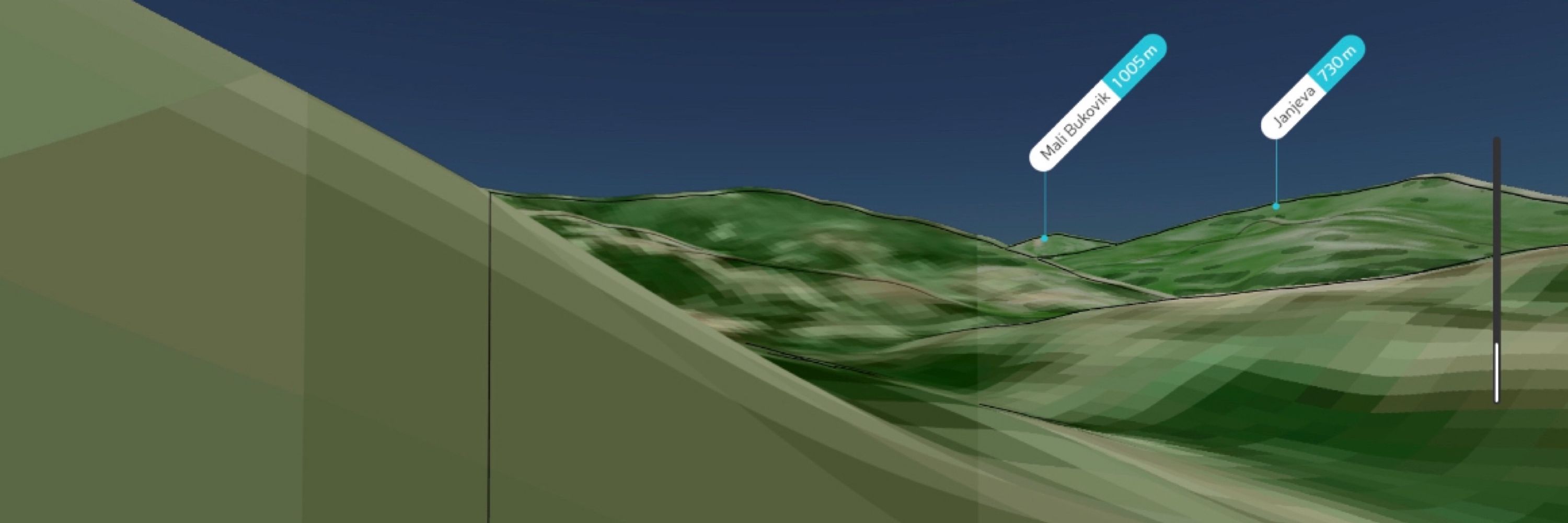
Geo-&Chronolocation/3D Modeling/CNNs/Social Media Analysis and Remote Sensing
Previous collaborations: Al Haq, Al Jazeera, Airwars/AFP, Bellingcat, CNN, The Washington Post.
Studying Research Architecture @Goldsmiths
Geo-&Chronolocation/3D Modeling/CNNs/Social Media Analysis and Remote Sensing
Previous collaborations: Al Haq, Al Jazeera, Airwars/AFP, Bellingcat, CNN, The Washington Post.
Pinned
Gabòr Friesen
@gaborfriesen.bsky.social
· Oct 12

Hamas took at least 64 captives into Gaza, visual evidence suggests
The hostages include nine children, according to an examination of hundreds of videos and images posted on social media since the fighting began.
www.washingtonpost.com
An analysis of available social media footage for the Washington Post together with Evan Hill, Joyce Lee, and Sarah Cahlan shows how Hamas took at least 106 hostages. Out of those 106 hostages, 64 were confirmed to have been transported to Gaza.
www.washingtonpost.com/investigatio...
www.washingtonpost.com/investigatio...
Reposted by Gabòr Friesen
Israeli forces standing by and doing nothing during settler violence, where did I hear that before? Oh yeah. In the investigation that I did with @gaborfriesen.bsky.social, in collaboration with CNN, on the Huwara pogrom in early 2023.
November 27, 2025 at 7:26 PM
Israeli forces standing by and doing nothing during settler violence, where did I hear that before? Oh yeah. In the investigation that I did with @gaborfriesen.bsky.social, in collaboration with CNN, on the Huwara pogrom in early 2023.
If I did, it’d have been published:) sadly people can only guess at those details.
October 30, 2025 at 12:42 AM
If I did, it’d have been published:) sadly people can only guess at those details.
Haven’t ventured there in a while but good to see that I didn’t mess up my first public ship location:)
October 21, 2025 at 7:21 PM
Haven’t ventured there in a while but good to see that I didn’t mess up my first public ship location:)
What can I say, it’s a big ship:)
October 21, 2025 at 2:48 PM
What can I say, it’s a big ship:)
Haha, old habits die hard.
October 21, 2025 at 2:33 PM
Haha, old habits die hard.
The Matros Koshka is currently offloading wheat in Syria. Seemingly in Latakia, around 35.5223, 35.7692.
Sentinel Imagery also indicates its presence in Latakia by showing a large vessel with a coloured (blue-ish) streak near the bridge of the ship.
Sentinel Imagery also indicates its presence in Latakia by showing a large vessel with a coloured (blue-ish) streak near the bridge of the ship.


October 21, 2025 at 2:25 PM
The Matros Koshka is currently offloading wheat in Syria. Seemingly in Latakia, around 35.5223, 35.7692.
Sentinel Imagery also indicates its presence in Latakia by showing a large vessel with a coloured (blue-ish) streak near the bridge of the ship.
Sentinel Imagery also indicates its presence in Latakia by showing a large vessel with a coloured (blue-ish) streak near the bridge of the ship.
Probably worth reading for the geolocators among y'all:
medium.com/@gaborfriese...
medium.com/@gaborfriese...

How Propagandists Keep (Unknowingly) Sharing Their Location on Telegram.
When you post an image, social media normally removes all of its metadata. If you post a picture of your home, this means that a stalker…
medium.com
October 21, 2025 at 9:22 AM
Probably worth reading for the geolocators among y'all:
medium.com/@gaborfriese...
medium.com/@gaborfriese...
No worries, I get the point you’re making, makes sense.
October 9, 2025 at 8:12 PM
No worries, I get the point you’re making, makes sense.
Of course, but that will be a manual task or done with very high res sat imagery. Need to know if step 1 is possible before someone can even consider step 2.
October 9, 2025 at 7:58 PM
Of course, but that will be a manual task or done with very high res sat imagery. Need to know if step 1 is possible before someone can even consider step 2.
For my 2nd undergraduate thesis, I researched the feasibility of using Convolutional Neural Networks to automate the process of mapping military trenches. Thought this summary might interest some of you.
medium.com/@gaborfriese...
medium.com/@gaborfriese...

Using AI to Detect Military Trenches on Satellite Imagery
This article provides a simplified and summarised view of my second undergraduate thesis. For access to the full thesis on this topic (14 pages) or underlying datasets, please reach out to me …
medium.com
October 9, 2025 at 3:16 PM
For my 2nd undergraduate thesis, I researched the feasibility of using Convolutional Neural Networks to automate the process of mapping military trenches. Thought this summary might interest some of you.
medium.com/@gaborfriese...
medium.com/@gaborfriese...
Reposted by Gabòr Friesen

Galen and our wider tech team have built many tools that are now regularly used by Bellingcat researchers and other newsrooms. One such tool is the Shadow Finder tool, built alongside @gaborfriesen.bsky.social , that @georainbolt.bsky.social tested out last year. www.youtube.com/watch?v=pQIj...

how to find a location using only the shadow
YouTube video by RAINBOLT
www.youtube.com
August 22, 2025 at 3:18 PM
Galen and our wider tech team have built many tools that are now regularly used by Bellingcat researchers and other newsrooms. One such tool is the Shadow Finder tool, built alongside @gaborfriesen.bsky.social , that @georainbolt.bsky.social tested out last year. www.youtube.com/watch?v=pQIj...
He’s also a GNSV member (not a super big surprise though)
August 18, 2025 at 1:28 AM
He’s also a GNSV member (not a super big surprise though)
Reposted by Gabòr Friesen
Despite the fact that I haven't been making any new guides, some of which were written together with @gaborfriesen.bsky.social, in relation to applying OSINT techniques in the Middle East for a while, it always warms my heart when people from the region use these to learn these skills themselves.

May 14, 2025 at 8:36 AM
Despite the fact that I haven't been making any new guides, some of which were written together with @gaborfriesen.bsky.social, in relation to applying OSINT techniques in the Middle East for a while, it always warms my heart when people from the region use these to learn these skills themselves.
It should mean unknown ground vehicle as far as i’m aware. If you have a reason to believe it’s not, it’s possible that ads-b is misclassifying it?
May 8, 2025 at 9:04 AM
It should mean unknown ground vehicle as far as i’m aware. If you have a reason to believe it’s not, it’s possible that ads-b is misclassifying it?
Veel demonstranten hebben de mogelijkheid om (zonder gewelddadig verzet) gearresteerd te worden van te voren al geaccepteerd. Dat was in Scheveningen natuurlijk anders.
Plus, deze demonstraties (zeker die van gisteren in het universiteits gebouw) zijn op plekken die makkelijker af te zetten zijn.
Plus, deze demonstraties (zeker die van gisteren in het universiteits gebouw) zijn op plekken die makkelijker af te zetten zijn.
May 7, 2025 at 11:11 AM
Veel demonstranten hebben de mogelijkheid om (zonder gewelddadig verzet) gearresteerd te worden van te voren al geaccepteerd. Dat was in Scheveningen natuurlijk anders.
Plus, deze demonstraties (zeker die van gisteren in het universiteits gebouw) zijn op plekken die makkelijker af te zetten zijn.
Plus, deze demonstraties (zeker die van gisteren in het universiteits gebouw) zijn op plekken die makkelijker af te zetten zijn.
To a large extent it’s the same. Declaring martial law usually comes with the argument that they have some form of support (e.g. “silent majority”). But it simultaneously admits that a significant enough portion of the populace is so vehemently against you that you need martial law to stay in power.
April 28, 2025 at 12:30 AM
To a large extent it’s the same. Declaring martial law usually comes with the argument that they have some form of support (e.g. “silent majority”). But it simultaneously admits that a significant enough portion of the populace is so vehemently against you that you need martial law to stay in power.

Google Maps
Find local businesses, view maps and get driving directions in Google Maps.
maps.app.goo.gl
April 24, 2025 at 8:30 AM
If you want a jesting but semi-serious add on to the blog (which is how I usually see this problem):
If AI can do your OSI(NT) research for you, it’s time to spend some time learning more advanced research methods (especially for the problems where AI can’t be meaningfully applied yet).
If AI can do your OSI(NT) research for you, it’s time to spend some time learning more advanced research methods (especially for the problems where AI can’t be meaningfully applied yet).
April 20, 2025 at 1:48 AM
If you want a jesting but semi-serious add on to the blog (which is how I usually see this problem):
If AI can do your OSI(NT) research for you, it’s time to spend some time learning more advanced research methods (especially for the problems where AI can’t be meaningfully applied yet).
If AI can do your OSI(NT) research for you, it’s time to spend some time learning more advanced research methods (especially for the problems where AI can’t be meaningfully applied yet).
If 1 isn’t enough or if Chris’s time gets filled up, same
If there are any media platforms, humanitarian organizations, or research collectives who need any assistance in open source investigations or visual verification, I want to let you know that I have time available in my agenda again.
Feel free to reach out via DM for a ☕️
Feel free to reach out via DM for a ☕️
April 1, 2025 at 10:19 AM
If 1 isn’t enough or if Chris’s time gets filled up, same
Not the worst airport to get lost in as long as you make it to your flight in the end :)
March 28, 2025 at 10:41 AM
Not the worst airport to get lost in as long as you make it to your flight in the end :)
(Even better if you already know how to use 3D modeling software cause then I'll always be able to help, even when I'm short on time myself that week)
March 4, 2025 at 4:00 PM
(Even better if you already know how to use 3D modeling software cause then I'll always be able to help, even when I'm short on time myself that week)
Vehicle identification:
If any journalists here ever struggle to identify (military) vehicles on (relatively) low-resolution sat imagery, please let me know.
I'm testing a new identification method. Too busy to find cases right now, but if anyone already has a case, I'd love to help and see.
If any journalists here ever struggle to identify (military) vehicles on (relatively) low-resolution sat imagery, please let me know.
I'm testing a new identification method. Too busy to find cases right now, but if anyone already has a case, I'd love to help and see.
March 4, 2025 at 3:58 PM
Vehicle identification:
If any journalists here ever struggle to identify (military) vehicles on (relatively) low-resolution sat imagery, please let me know.
I'm testing a new identification method. Too busy to find cases right now, but if anyone already has a case, I'd love to help and see.
If any journalists here ever struggle to identify (military) vehicles on (relatively) low-resolution sat imagery, please let me know.
I'm testing a new identification method. Too busy to find cases right now, but if anyone already has a case, I'd love to help and see.
Just clicked a link in an NOS (dutch news) article expecting to go to X but actually ended up on Bluesky, nice surprise.
March 1, 2025 at 3:21 PM
Just clicked a link in an NOS (dutch news) article expecting to go to X but actually ended up on Bluesky, nice surprise.
I’m considering it the ultimate online “objective reporting award” whenever one person adds me to something like “zionist allies” and someone else to “hamas supporters.”
February 17, 2025 at 10:18 AM
I’m considering it the ultimate online “objective reporting award” whenever one person adds me to something like “zionist allies” and someone else to “hamas supporters.”