Carl Churchill
@cchurchili.bsky.social
Graphics Reporter with The Wall Street Journal
on Lenni-Lenape land
a cobra vai fumar
https://churchillgeo.com/
on Lenni-Lenape land
a cobra vai fumar
https://churchillgeo.com/
Reposted by Carl Churchill
"the medium of data visualization is the decision" (of how to map from variable to visual) @jerthorp.bsky.social
October 24, 2025 at 12:52 AM
"the medium of data visualization is the decision" (of how to map from variable to visual) @jerthorp.bsky.social
Reposted by Carl Churchill
Kicking off #NACIS2025 with @cchurchili.bsky.social & “Advanced Terrain Modeling with Blender”. If you’re unfamiliar his work, it’s amazing: churchillgeo.com

October 15, 2025 at 1:10 PM
Kicking off #NACIS2025 with @cchurchili.bsky.social & “Advanced Terrain Modeling with Blender”. If you’re unfamiliar his work, it’s amazing: churchillgeo.com
Reposted by Carl Churchill
"Go toward realism to make sure you can do it, but then back away to create clarity." - Blender wizard @cchurchili.bsky.social
October 15, 2025 at 1:47 PM
"Go toward realism to make sure you can do it, but then back away to create clarity." - Blender wizard @cchurchili.bsky.social
Reposted by Carl Churchill
*Sigh*. My intended python demo for NACIS is gonna get tripped up by a version of Python released last Tuesday (3.14), which is not currently compatible with numpy. (I would prefer not having to spend time explaining how to downgrade a fresh Python install.)
😢
😢
October 12, 2025 at 11:13 PM
*Sigh*. My intended python demo for NACIS is gonna get tripped up by a version of Python released last Tuesday (3.14), which is not currently compatible with numpy. (I would prefer not having to spend time explaining how to downgrade a fresh Python install.)
😢
😢
the issue with bluesky is that it took me 2 months to find this amazing trick by @southarrowmaps.co.nz and it has seemingly no engagement

October 13, 2025 at 3:03 AM
the issue with bluesky is that it took me 2 months to find this amazing trick by @southarrowmaps.co.nz and it has seemingly no engagement
Reposted by Carl Churchill
This animation shows the difference between rotating the orthographic camera (first half) which produces foreshortening, and adjusting the Y-value of the input normal to the displacement node (second half).
July 16, 2025 at 11:59 PM
This animation shows the difference between rotating the orthographic camera (first half) which produces foreshortening, and adjusting the Y-value of the input normal to the displacement node (second half).
Definitely bit off a lot on this latest upcoming blog post...

October 12, 2025 at 4:10 AM
Definitely bit off a lot on this latest upcoming blog post...
An #infographic of an Indigenous calendar cycle from #Colombia, I found today

October 5, 2025 at 2:23 AM
An #infographic of an Indigenous calendar cycle from #Colombia, I found today
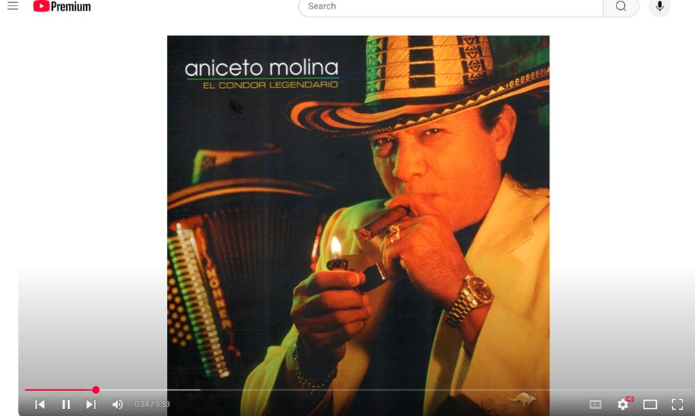
The mapping soundtrack atm

September 16, 2025 at 1:40 PM
The mapping soundtrack atm
Reposted by Carl Churchill
I have a weird GDAL problem. I am trying to assign a spatial reference system to a JPEG world map and then reproject. Everything works if I use gdal_translate to make a GeoTIFF, but if I create a VRT as an intermediate step the corners of the reprojected image are filled. What gives?


September 9, 2025 at 8:46 PM
I have a weird GDAL problem. I am trying to assign a spatial reference system to a JPEG world map and then reproject. Everything works if I use gdal_translate to make a GeoTIFF, but if I create a VRT as an intermediate step the corners of the reprojected image are filled. What gives?
The accent on an 'i' will be the death of me

August 31, 2025 at 3:45 PM
The accent on an 'i' will be the death of me
im just so jazzed about blender + satellite mosaics

August 20, 2025 at 7:43 PM
im just so jazzed about blender + satellite mosaics
To one and all a happy anniversary of the beginning of the world in the Maya long count calendar (give or take a day or 2).
August 13, 2025 at 11:02 PM
To one and all a happy anniversary of the beginning of the world in the Maya long count calendar (give or take a day or 2).
Reposted by Carl Churchill
O de Washington DC:

August 1, 2025 at 4:33 PM
O de Washington DC:
shoutout to whoever did USGS art in the 90s

July 29, 2025 at 2:05 PM
shoutout to whoever did USGS art in the 90s
you can do anything in blender yk

July 19, 2025 at 4:30 AM
you can do anything in blender yk
My favorite map here is Laris's
Four maps of the flooding in Kerr County, TX. Each newsroom drew on varied data sources & focused on a different aspect of the disaster.
Refined combination of color-coded rainfall data & shaded relief by Laris Karklis, @washingtonpost.com
wapo.st/3IpvrTu
#dataviz #cartography #ddj
1/4
Refined combination of color-coded rainfall data & shaded relief by Laris Karklis, @washingtonpost.com
wapo.st/3IpvrTu
#dataviz #cartography #ddj
1/4

July 11, 2025 at 7:53 PM
My favorite map here is Laris's
cloud volumes generated from *real* satellite imagery

July 7, 2025 at 12:48 AM
cloud volumes generated from *real* satellite imagery
guess the place WITHOUT googling

July 4, 2025 at 11:14 PM
guess the place WITHOUT googling
My alma mater, ASU recreated their entire GIS hub physically inside a ArcGIS scene...

July 2, 2025 at 3:20 PM
My alma mater, ASU recreated their entire GIS hub physically inside a ArcGIS scene...
At the 0th Meridian, where the great plains do not begin

June 29, 2025 at 6:18 PM
At the 0th Meridian, where the great plains do not begin


