


Mike G. CHI-WX
@wxradardude.bsky.social
Meteorology student. Photographer, Baseball fan, Curling fan 🥌, bird photography. Houston ➡️ Chicago.
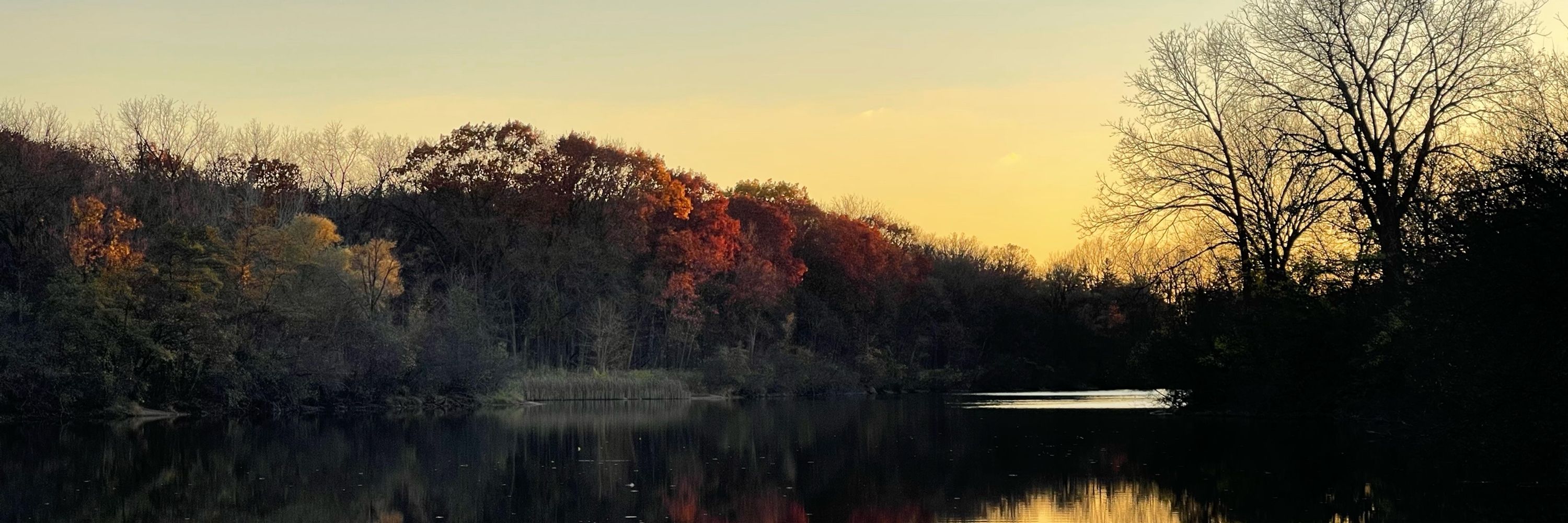
Chasing in probably the worst region for this type of “storm chasing”.
March 15, 2025 at 10:09 PM
Chasing in probably the worst region for this type of “storm chasing”.
Been tracking this event for my Wx & Forecasting class since Monday. Thank you for all you and your colleagues do

March 14, 2025 at 10:41 AM
Been tracking this event for my Wx & Forecasting class since Monday. Thank you for all you and your colleagues do
Good luck collecting it. Lol

a goose is flying over a grassy field with the words come at me bro behind it
ALT: a goose is flying over a grassy field with the words come at me bro behind it
media.tenor.com
February 3, 2025 at 6:27 AM
Good luck collecting it. Lol
Some more maps of the storm for fun.


January 24, 2025 at 5:39 PM
Some more maps of the storm for fun.
This makes me nervous about NWS intern and volunteer programs. Is it currently worth it to still apply? I have a few I’m looking into and this news makes me question if I should still apply.
January 23, 2025 at 7:21 PM
This makes me nervous about NWS intern and volunteer programs. Is it currently worth it to still apply? I have a few I’m looking into and this news makes me question if I should still apply.
As a born and raised Houstonian who moved to the Midwest, I agree and support this.
January 23, 2025 at 4:43 PM
As a born and raised Houstonian who moved to the Midwest, I agree and support this.
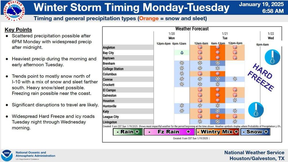
As for timing, it’s currently looking like any frozen precipitation that would fall would probably begin after 6pm Monday. Again this forecast can still change. So keep tuned to your local NWS office or TV station for up to date information.
January 19, 2025 at 4:19 PM
As for timing, it’s currently looking like any frozen precipitation that would fall would probably begin after 6pm Monday. Again this forecast can still change. So keep tuned to your local NWS office or TV station for up to date information.
Areas north of 10 would see more
Of the rain/snow with the further north you go transitioning more to snow. It is likely that bands of intense snow would develop and confined areas of high snowfall rates will be seen.
Of the rain/snow with the further north you go transitioning more to snow. It is likely that bands of intense snow would develop and confined areas of high snowfall rates will be seen.
January 19, 2025 at 4:19 PM
Areas north of 10 would see more
Of the rain/snow with the further north you go transitioning more to snow. It is likely that bands of intense snow would develop and confined areas of high snowfall rates will be seen.
Of the rain/snow with the further north you go transitioning more to snow. It is likely that bands of intense snow would develop and confined areas of high snowfall rates will be seen.