


Jess D. 📎🚫👑
@wxnut92.bsky.social
I'm an autistic navigating in the allistic wilderness. I'm also an amateur weather forecaster.
Pro-Environment, Pro-LGBTQPIA+ Rights, Pro-Accessibility, Pro-choice, Pro-Immigrant, Pro-Democracy, Anti-War
Pro-Environment, Pro-LGBTQPIA+ Rights, Pro-Accessibility, Pro-choice, Pro-Immigrant, Pro-Democracy, Anti-War
Rain & wind tonight. A break for Wednesday. Hours of torrential rains & wind Thursday into early Friday. Well over an inch of rain is expected during this period. Conditions calm over the weekend aside from steady light to moderate rainfall.


December 17, 2025 at 1:13 AM
Rain & wind tonight. A break for Wednesday. Hours of torrential rains & wind Thursday into early Friday. Well over an inch of rain is expected during this period. Conditions calm over the weekend aside from steady light to moderate rainfall.
Active weather this week.
Storm #1 (Tuesday night): Another round of steady rain/wind is expected. Gusts up to 45 at the coast (up to 35 mph in the valley).
Storm #2 [Atmospheric River]: (Thursday through Friday): Extreme rains are possible. 4-6" along the coast (2.5-3.5" in the valley).
Storm #1 (Tuesday night): Another round of steady rain/wind is expected. Gusts up to 45 at the coast (up to 35 mph in the valley).
Storm #2 [Atmospheric River]: (Thursday through Friday): Extreme rains are possible. 4-6" along the coast (2.5-3.5" in the valley).


December 16, 2025 at 1:26 AM
Active weather this week.
Storm #1 (Tuesday night): Another round of steady rain/wind is expected. Gusts up to 45 at the coast (up to 35 mph in the valley).
Storm #2 [Atmospheric River]: (Thursday through Friday): Extreme rains are possible. 4-6" along the coast (2.5-3.5" in the valley).
Storm #1 (Tuesday night): Another round of steady rain/wind is expected. Gusts up to 45 at the coast (up to 35 mph in the valley).
Storm #2 [Atmospheric River]: (Thursday through Friday): Extreme rains are possible. 4-6" along the coast (2.5-3.5" in the valley).
Flooding will again be possible later this week across NW Oregon and SW Washington.
Image credit: NWS Portland, OR
Image credit: NWS Portland, OR

December 16, 2025 at 12:01 AM
Flooding will again be possible later this week across NW Oregon and SW Washington.
Image credit: NWS Portland, OR
Image credit: NWS Portland, OR
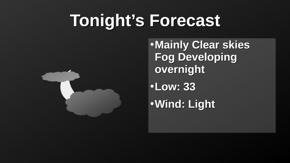
The inversion, fog layer will persist through Sunday morning as the it is replace by rain and wind next week. I'm still seeing mountain snow coming back around the middle of next week.


December 13, 2025 at 12:50 AM
The inversion, fog layer will persist through Sunday morning as the it is replace by rain and wind next week. I'm still seeing mountain snow coming back around the middle of next week.
Dry weather will dominate through Sunday, then a return to regularly scheduled programing with more rain and wind.🌧️🌬️


December 12, 2025 at 12:55 AM
Dry weather will dominate through Sunday, then a return to regularly scheduled programing with more rain and wind.🌧️🌬️
Enjoy the mainly dry conditions Thursday through Saturday. Wet weather returns later this weekend into next week.


December 11, 2025 at 1:09 AM
Enjoy the mainly dry conditions Thursday through Saturday. Wet weather returns later this weekend into next week.
Rain will lighten and taper tonight as the atmospheric river (AR) shifts north into western Washington. It will shift back down Wednesday night into Thursday but to a weaker state. It will continue to weaken heading into the weekend, giving us a couple dry days.


December 10, 2025 at 1:06 AM
Rain will lighten and taper tonight as the atmospheric river (AR) shifts north into western Washington. It will shift back down Wednesday night into Thursday but to a weaker state. It will continue to weaken heading into the weekend, giving us a couple dry days.
Flood watch in effect until 4 am Friday. Be alert for potential flood warnings or advisories and travel disruptions. Breezy conditions may also uproot a few trees, leading to possible power disruptions. Be sure to charge your emergency devices, including your cell phone.


December 9, 2025 at 1:26 AM
Flood watch in effect until 4 am Friday. Be alert for potential flood warnings or advisories and travel disruptions. Breezy conditions may also uproot a few trees, leading to possible power disruptions. Be sure to charge your emergency devices, including your cell phone.
Flood watch now in effect through Thursday as several inches of rain are expected (even for the Cascades due to high snow levels) as a prolonged atmospheric river event is expected later today through Wednesday. River levels will be at their highest Wednesday and Thursday.

December 8, 2025 at 6:26 PM
Flood watch now in effect through Thursday as several inches of rain are expected (even for the Cascades due to high snow levels) as a prolonged atmospheric river event is expected later today through Wednesday. River levels will be at their highest Wednesday and Thursday.
Flood potential next week 🌧️⚠️
Image credit: NWS Portland, OR
Image credit: NWS Portland, OR

December 6, 2025 at 11:03 PM
Flood potential next week 🌧️⚠️
Image credit: NWS Portland, OR
Image credit: NWS Portland, OR
A strong atmospheric river event is expected for the first half of next week. Multiple inches of rainfall are expected for much of the PacNW, highest amounts over the higher terrain. River flooding, landslides, and debris flows will be possible next week. Urban flooding will also be possible. 🌧️


December 6, 2025 at 1:26 AM
A strong atmospheric river event is expected for the first half of next week. Multiple inches of rainfall are expected for much of the PacNW, highest amounts over the higher terrain. River flooding, landslides, and debris flows will be possible next week. Urban flooding will also be possible. 🌧️
A very wet and mild stretch underway. 2 to 4 inches of rainfall are possible through Tuesday, with higher amounts along the coast, foothills, and mountains. 🌧️


December 5, 2025 at 1:21 AM
A very wet and mild stretch underway. 2 to 4 inches of rainfall are possible through Tuesday, with higher amounts along the coast, foothills, and mountains. 🌧️
Lots of wet weather headed our way, but n9t much mountain snow as temperatures will be quite high, and the snow line will be well above the passes.


December 4, 2025 at 1:30 AM
Lots of wet weather headed our way, but n9t much mountain snow as temperatures will be quite high, and the snow line will be well above the passes.
Wet stretch coming beginning late Thursday. Unfortunately, the weather systems coming at us are of the warm variety, so mountain snow is gonna be stalled a bit longer. It might be til mid-December before significant snow returns to the Cascades.


December 3, 2025 at 1:09 AM
Wet stretch coming beginning late Thursday. Unfortunately, the weather systems coming at us are of the warm variety, so mountain snow is gonna be stalled a bit longer. It might be til mid-December before significant snow returns to the Cascades.
Evening Forecast: A little bit of dry weather this week before things turn wetter but warmer heading toward the weekend.


December 2, 2025 at 12:55 AM
Evening Forecast: A little bit of dry weather this week before things turn wetter but warmer heading toward the weekend.
Apologies for the small text in the charts in the slide. Here are the same charts in full size.


December 1, 2025 at 7:46 PM
Apologies for the small text in the charts in the slide. Here are the same charts in full size.
Here is the November 2025 summary for my weather station.

December 1, 2025 at 7:42 PM
Here is the November 2025 summary for my weather station.
A quick glance at November 2025 in NW Oregon
It was warmer and drier than the typical November for the region.
It was warmer and drier than the typical November for the region.

December 1, 2025 at 7:42 PM
A quick glance at November 2025 in NW Oregon
It was warmer and drier than the typical November for the region.
It was warmer and drier than the typical November for the region.
Next rain/mountain snow chances come Saturday night into Sunday morning. However, amount will be light (<0.10 inches) A following round comes Tuesday with, again, light amounts. A mainly dry forecast going into early December.


November 29, 2025 at 1:23 AM
Next rain/mountain snow chances come Saturday night into Sunday morning. However, amount will be light (<0.10 inches) A following round comes Tuesday with, again, light amounts. A mainly dry forecast going into early December.
Entering a late-autumn dry spell. However, that doesn't mean sunshine. After tonight, a couple systems will just clip the area late Saturday and again Tuesday providing slight precipitation chances. Otherwise, fog and low clouds will be the story over the much of the extended forecast.


November 28, 2025 at 1:08 AM
Entering a late-autumn dry spell. However, that doesn't mean sunshine. After tonight, a couple systems will just clip the area late Saturday and again Tuesday providing slight precipitation chances. Otherwise, fog and low clouds will be the story over the much of the extended forecast.
A lot of dry late-autumn weather as soon as we reach Saturday as a ridge of high pressure develops off the coast, pushing the storm track well to the north. We may get clipped by a weak system from our northeast on Tuesday with slight rain chances.


November 27, 2025 at 1:12 AM
A lot of dry late-autumn weather as soon as we reach Saturday as a ridge of high pressure develops off the coast, pushing the storm track well to the north. We may get clipped by a weak system from our northeast on Tuesday with slight rain chances.
While Thanksgiving will be a little bit on the wet side, the second half of the holiday weekend looks alright with dry conditions. It will be cooler going into next week with rain/mountain snow chances returning around next Tuesday.


November 26, 2025 at 1:27 AM
While Thanksgiving will be a little bit on the wet side, the second half of the holiday weekend looks alright with dry conditions. It will be cooler going into next week with rain/mountain snow chances returning around next Tuesday.
Clouds increase tonight ahead of our next weather maker, expected to push moisture over the region later Tuesday. Wednesday no longer looks like a rainy day. It will start rainy, then shift north of the area giving way for sun breaks in the late afternoon.


November 25, 2025 at 1:17 AM
Clouds increase tonight ahead of our next weather maker, expected to push moisture over the region later Tuesday. Wednesday no longer looks like a rainy day. It will start rainy, then shift north of the area giving way for sun breaks in the late afternoon.
Well, the valley fog stuck around through the whole day. I expect a similar fate for Saturday while areas outside the valley enjoy a sunny and mild day before our next weather system slides through on Sunday.


November 22, 2025 at 12:53 AM
Well, the valley fog stuck around through the whole day. I expect a similar fate for Saturday while areas outside the valley enjoy a sunny and mild day before our next weather system slides through on Sunday.
Lots of sunshine coming for the region over the next few days. Well, except for the Willamette Valley due to radiation fog that without a mechanism to mix the atmosphere will be a struggle to break out of. The Thanksgiving holiday now looks a little wet, but mild.


November 21, 2025 at 1:11 AM
Lots of sunshine coming for the region over the next few days. Well, except for the Willamette Valley due to radiation fog that without a mechanism to mix the atmosphere will be a struggle to break out of. The Thanksgiving holiday now looks a little wet, but mild.