


I somehow managed a tornado yesterday (4/28)
April 30, 2025 at 3:33 AM
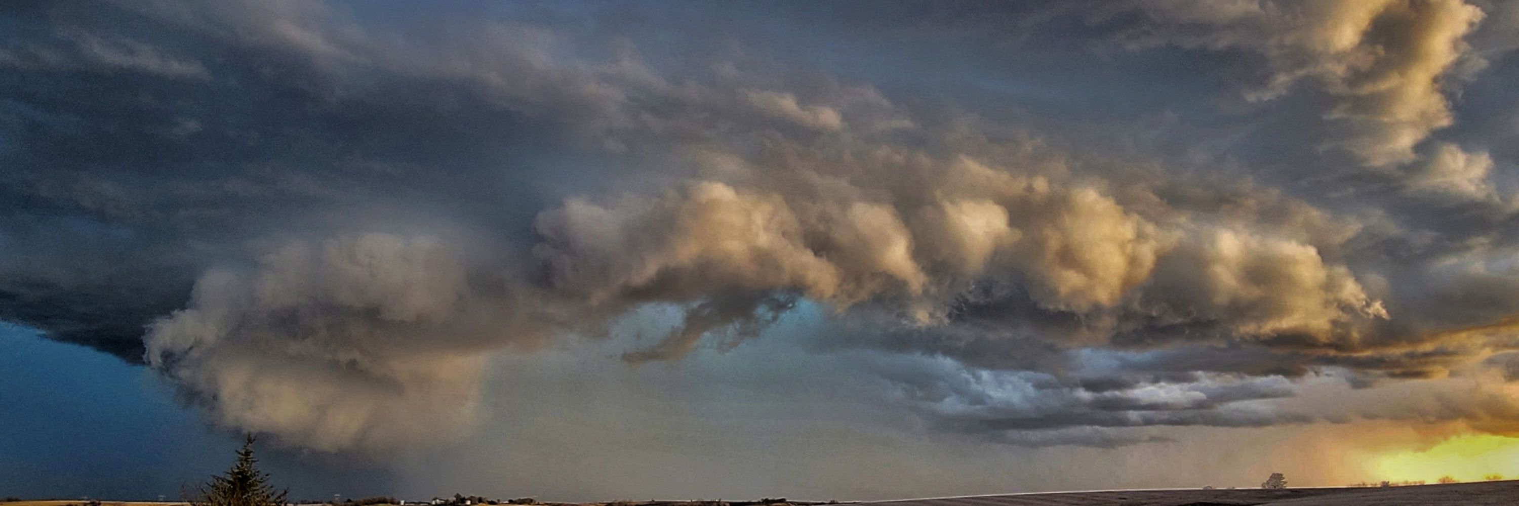
I somehow managed a tornado yesterday (4/28)
What website do you use to see this colorful and angled image?
March 19, 2025 at 4:36 PM
What website do you use to see this colorful and angled image?


Got ya, maybe I should start those!
January 24, 2025 at 1:04 PM
Got ya, maybe I should start those!
What exactly is alt text, i have a 0%
January 24, 2025 at 5:39 AM
What exactly is alt text, i have a 0%
Mine faces hotels, the casino and the river!

January 14, 2025 at 2:06 PM
Mine faces hotels, the casino and the river!
4. Severe wind and tornadoes appear to be the main threat with isolated large hail possible. A strong tornado can not be ruled out due to the strong low level shear and instability. However, that threat is very conditional!
December 26, 2024 at 4:24 PM
4. Severe wind and tornadoes appear to be the main threat with isolated large hail possible. A strong tornado can not be ruled out due to the strong low level shear and instability. However, that threat is very conditional!
3. Dewpoints will be steady in the mid to upper 60s, with even 70s near the Gulf Coast. These storms will be forced ahead of the cold front as it sweeps through.
Areas from Houston to Palestine, TX over to Alexandria, LA look to be in the main threat zone in my opinion.
Areas from Houston to Palestine, TX over to Alexandria, LA look to be in the main threat zone in my opinion.

December 26, 2024 at 4:24 PM
3. Dewpoints will be steady in the mid to upper 60s, with even 70s near the Gulf Coast. These storms will be forced ahead of the cold front as it sweeps through.
Areas from Houston to Palestine, TX over to Alexandria, LA look to be in the main threat zone in my opinion.
Areas from Houston to Palestine, TX over to Alexandria, LA look to be in the main threat zone in my opinion.
2. The circled LLJ appears to be very strong from mid afternoon into the evening, helping lead to enlarged hodographs throughout that entire area. The following sounding also depicts how strong the low-level shear is across Eastern TX into LA.


December 26, 2024 at 4:24 PM
2. The circled LLJ appears to be very strong from mid afternoon into the evening, helping lead to enlarged hodographs throughout that entire area. The following sounding also depicts how strong the low-level shear is across Eastern TX into LA.
1. An upper-level trough will pivot through the southern U.S. with widespread diffluence occurring throughout the majority of Eastern TX into Louisiana. This will bring widespread forcing through that area.

December 26, 2024 at 4:24 PM
1. An upper-level trough will pivot through the southern U.S. with widespread diffluence occurring throughout the majority of Eastern TX into Louisiana. This will bring widespread forcing through that area.
I followed yall on both
November 8, 2024 at 3:50 AM
I followed yall on both