


Robin Wilson
@robintw.bsky.social
Freelance geospatial software engineer and data scientist. PhD in satellite imaging.
Blogger (https://blog.rtwilson.com/) author of the FreeGISData site (https://freegisdata.rtwilson.com/) & the British Placename Mapper (https://placenames.rtwilson.com/)
Blogger (https://blog.rtwilson.com/) author of the FreeGISData site (https://freegisdata.rtwilson.com/) & the British Placename Mapper (https://placenames.rtwilson.com/)
Very proud of my former student (now colleague!), Gabi, who just gave her first conference presentation at #foss4guk in Leeds.
#geospatial #gis #osgeo #postgis
#geospatial #gis #osgeo #postgis

October 1, 2025 at 10:44 AM
Very proud of my former student (now colleague!), Gabi, who just gave her first conference presentation at #foss4guk in Leeds.
#geospatial #gis #osgeo #postgis
#geospatial #gis #osgeo #postgis
So, TIL that a MultiPolygon is invalid if any of its polygon parts touch at more than a single point. Eg. a MultiPolygon where two 'polygon parts' share an edge is invalid.
I can see why this is the case - those two polygon parts should be merged, but it's a bit annoying.
#gis
I can see why this is the case - those two polygon parts should be merged, but it's a bit annoying.
#gis

August 7, 2025 at 3:22 PM
So, TIL that a MultiPolygon is invalid if any of its polygon parts touch at more than a single point. Eg. a MultiPolygon where two 'polygon parts' share an edge is invalid.
I can see why this is the case - those two polygon parts should be merged, but it's a bit annoying.
#gis
I can see why this is the case - those two polygon parts should be merged, but it's a bit annoying.
#gis
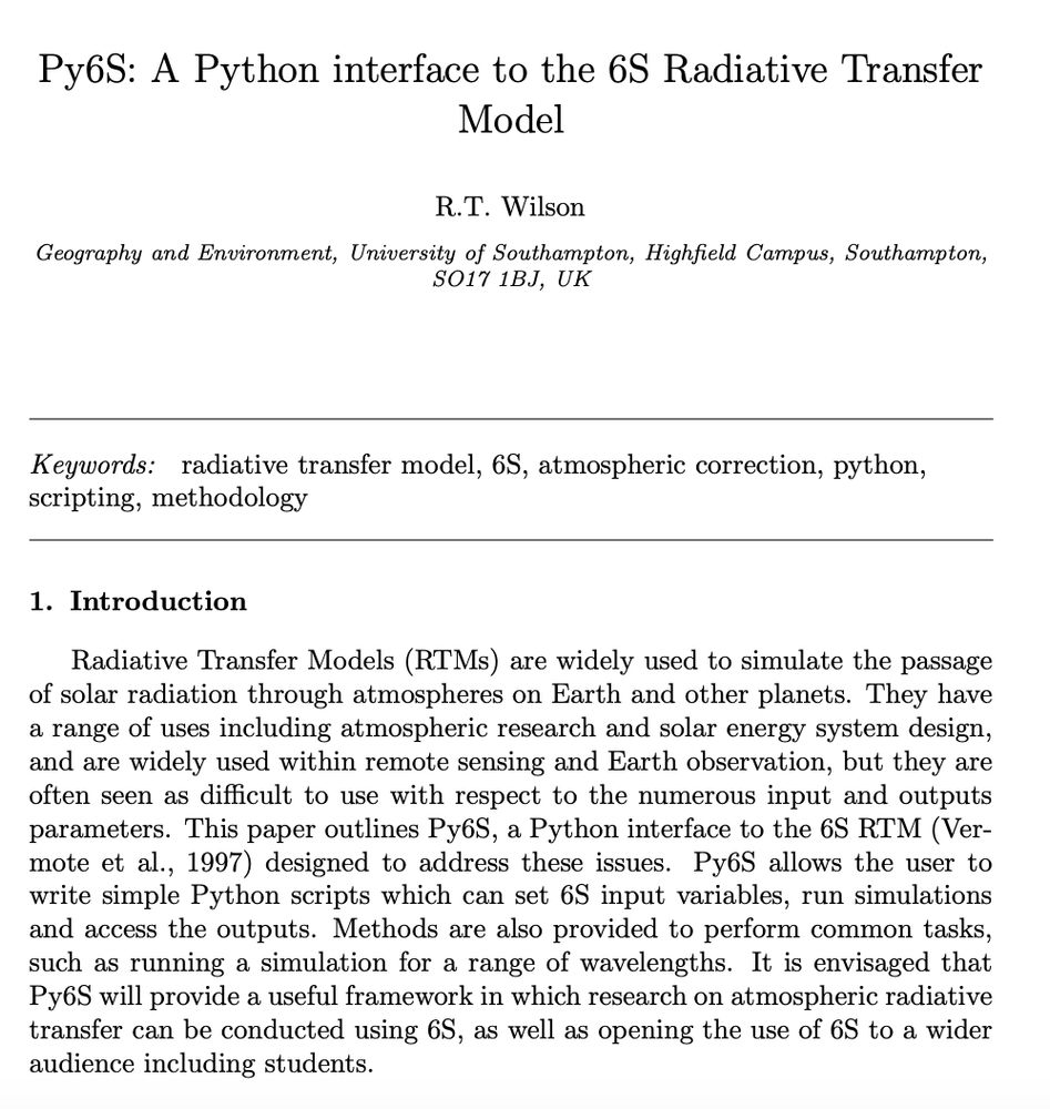
Quite chuffed that my paper on Py6S - a Python interface I developed to the 6S Atmospheric Radiative Transfer model has now got to 200 citations. Not bad for a "software paper that will never get cited" as some people told me at the time!
#python #science #remotesensing
#python #science #remotesensing
May 30, 2025 at 5:39 PM
Quite chuffed that my paper on Py6S - a Python interface I developed to the 6S Atmospheric Radiative Transfer model has now got to 200 citations. Not bad for a "software paper that will never get cited" as some people told me at the time!
#python #science #remotesensing
#python #science #remotesensing
Just released another #3dprinting model - a lacemaking pin pusher. These are devices used by lacemakers to push little pins into their lace pillow (to hold the lace) without hurting their fingers. Available at makerworld.com/en/models/14... and probably coming to #emfcamp for a workshop!

May 10, 2025 at 1:42 PM
Just released another #3dprinting model - a lacemaking pin pusher. These are devices used by lacemakers to push little pins into their lace pillow (to hold the lace) without hurting their fingers. Available at makerworld.com/en/models/14... and probably coming to #emfcamp for a workshop!
Quite chuffed, I've got to 200 downloads of 3D models I've created and published on MakerWorld: makerworld.com/en/@robintw
Check them out - there are some models of bits of my body (from CT scans), railway signalling things, craft stuff, jokes and more!
#3dprinting
Check them out - there are some models of bits of my body (from CT scans), railway signalling things, craft stuff, jokes and more!
#3dprinting


March 28, 2025 at 3:21 PM
Quite chuffed, I've got to 200 downloads of 3D models I've created and published on MakerWorld: makerworld.com/en/@robintw
Check them out - there are some models of bits of my body (from CT scans), railway signalling things, craft stuff, jokes and more!
#3dprinting
Check them out - there are some models of bits of my body (from CT scans), railway signalling things, craft stuff, jokes and more!
#3dprinting
Love it when I do a quick search for a QGIS plugin and find exactly what I want - today I wanted an easy way for a non-GIS specialist to find a UK postcode in QGIS. The ZoomToPostcode plugin (plugins.qgis.org/plugins/Zoom...) does exactly what I want!
#gis #qgis
#gis #qgis

March 21, 2025 at 11:33 AM
Love it when I do a quick search for a QGIS plugin and find exactly what I want - today I wanted an easy way for a non-GIS specialist to find a UK postcode in QGIS. The ZoomToPostcode plugin (plugins.qgis.org/plugins/Zoom...) does exactly what I want!
#gis #qgis
#gis #qgis
That's weird - that plane doesn't appear in my imagery

January 25, 2025 at 10:16 AM
That's weird - that plane doesn't appear in my imagery
Fascinating thing I noticed today - the imagery of Heathrow Airport in Google Maps has literally zero planes. None on stands, on taxiways, on runways. I wonder why - I didn't think Heathrow ever closed fully.


January 25, 2025 at 9:44 AM
Fascinating thing I noticed today - the imagery of Heathrow Airport in Google Maps has literally zero planes. None on stands, on taxiways, on runways. I wonder why - I didn't think Heathrow ever closed fully.
I missed posting a few talks (including my own - I'll post a link to my slides later) but now we're on to Al Graham talking about Overture data, and using it for land cover. #foss4guk

November 12, 2024 at 2:51 PM
I missed posting a few talks (including my own - I'll post a link to my slides later) but now we're on to Al Graham talking about Overture data, and using it for land cover. #foss4guk
Now we're on to Geospatial data for heritage and habitat by David Lovelace - with lovely georeferenced old maps

November 12, 2024 at 12:07 PM
Now we're on to Geospatial data for heritage and habitat by David Lovelace - with lovely georeferenced old maps
Adam Tweedie from @sparkgeo.bsky.social taking about a React component library for geospatial web apps now #foss4guk

November 12, 2024 at 11:54 AM
Adam Tweedie from @sparkgeo.bsky.social taking about a React component library for geospatial web apps now #foss4guk

Arrived at #foss4guk after a bit of a delay due to broken lifts at the station (they managed to find another step free way out).
Currently listening to James Milner talking about growing an open source project - building a software project is at least partially a marketing problem.
Currently listening to James Milner talking about growing an open source project - building a software project is at least partially a marketing problem.

November 12, 2024 at 11:03 AM
Arrived at #foss4guk after a bit of a delay due to broken lifts at the station (they managed to find another step free way out).
Currently listening to James Milner talking about growing an open source project - building a software project is at least partially a marketing problem.
Currently listening to James Milner talking about growing an open source project - building a software project is at least partially a marketing problem.
Looking forward to attending #foss4guk2024 tomorrow in Bristol.
I'll be speaking on using cloud native technologies to build a flood risk app, using Titiler, @postgis.bsky.social , MVTs and more!
#foss4g #python #postgis #gis
I'll be speaking on using cloud native technologies to build a flood risk app, using Titiler, @postgis.bsky.social , MVTs and more!
#foss4g #python #postgis #gis

November 11, 2024 at 10:32 AM
Looking forward to attending #foss4guk2024 tomorrow in Bristol.
I'll be speaking on using cloud native technologies to build a flood risk app, using Titiler, @postgis.bsky.social , MVTs and more!
#foss4g #python #postgis #gis
I'll be speaking on using cloud native technologies to build a flood risk app, using Titiler, @postgis.bsky.social , MVTs and more!
#foss4g #python #postgis #gis
Join Rebalance Earth's GeoTAM Challenge Hackathon!
This open-source hackathon aims to create methods for estimating business turnover at specific locations in the UK. With prizes of up to £2000
20th-26th Nov, online
See www.rebalance.earth/geotam-chall...
#hackathon #opensource #climate #python
This open-source hackathon aims to create methods for estimating business turnover at specific locations in the UK. With prizes of up to £2000
20th-26th Nov, online
See www.rebalance.earth/geotam-chall...
#hackathon #opensource #climate #python

October 30, 2024 at 12:25 PM
Join Rebalance Earth's GeoTAM Challenge Hackathon!
This open-source hackathon aims to create methods for estimating business turnover at specific locations in the UK. With prizes of up to £2000
20th-26th Nov, online
See www.rebalance.earth/geotam-chall...
#hackathon #opensource #climate #python
This open-source hackathon aims to create methods for estimating business turnover at specific locations in the UK. With prizes of up to £2000
20th-26th Nov, online
See www.rebalance.earth/geotam-chall...
#hackathon #opensource #climate #python