


Riley Champine
@rileydchampine.com
Cartographer at the University of Richmond Digital Scholarship Lab • Former Graphics Editor at Nat Geo —
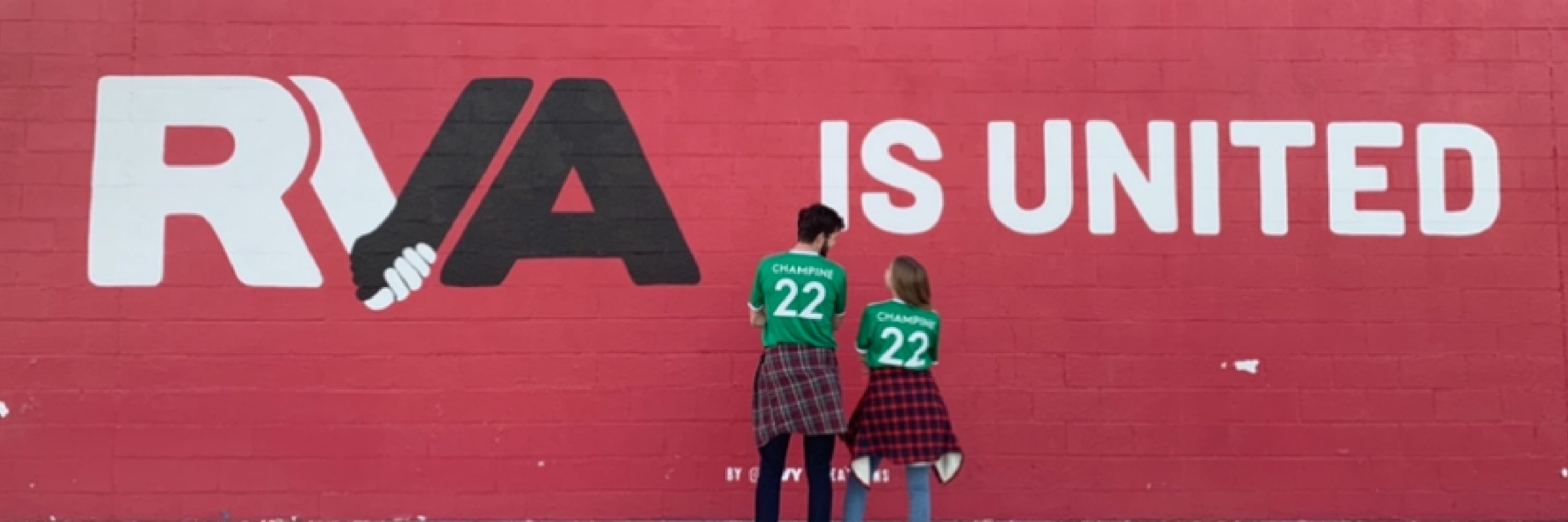
🗺️ Map Nerd • 🚲 Bike Commuter • 🚎 Transit Advocate • 🇺🇸 USMNT / 🦘 Richmond Kickers / Fulham FC ⚽️ fan
🗺️ Map Nerd • 🚲 Bike Commuter • 🚎 Transit Advocate • 🇺🇸 USMNT / 🦘 Richmond Kickers / Fulham FC ⚽️ fan
Sanborn detail of #Detroit, 1949 — Carstens Elementary School — one of 195 schools closed in Detroit between 2000 and 2015. This section of the city's east side suffered from heavy abandonment, typically attributed to white flight and auto industry consolidation. historicdetroit.org/buildings/ca...
January 3, 2025 at 3:37 PM
Sanborn detail of #Detroit, 1949 — Carstens Elementary School — one of 195 schools closed in Detroit between 2000 and 2015. This section of the city's east side suffered from heavy abandonment, typically attributed to white flight and auto industry consolidation. historicdetroit.org/buildings/ca...
Sanborn detail of #Baltimore 1952: "Public School No 176" aka "Francis M Wood [School] For Handicapped Colored Children". This block and ~20 others would be cleared to build West Baltimore's "Highway to Nowhere". Read more: www.baltimoremagazine.com/section/busi...
December 20, 2024 at 6:04 PM
Sanborn detail of #Baltimore 1952: "Public School No 176" aka "Francis M Wood [School] For Handicapped Colored Children". This block and ~20 others would be cleared to build West Baltimore's "Highway to Nowhere". Read more: www.baltimoremagazine.com/section/busi...
I’m a big fan of these candy cane flex posts now bringing some cheer to Blanton Ave 🎄🚲
December 10, 2024 at 2:40 PM
I’m a big fan of these candy cane flex posts now bringing some cheer to Blanton Ave 🎄🚲
Sanborn detail of Richmond, VA 1950 — Jackson Ward.
I am so intrigued by this so-called "Cave" street that cut diagonally across the center block here. Was there an actual cave at some point? This block, like so many around it, was razed to make way for the Richmond-Petersburg Turnpike. #RVA
I am so intrigued by this so-called "Cave" street that cut diagonally across the center block here. Was there an actual cave at some point? This block, like so many around it, was razed to make way for the Richmond-Petersburg Turnpike. #RVA
December 4, 2024 at 5:13 PM
Sanborn detail of Richmond, VA 1950 — Jackson Ward.
I am so intrigued by this so-called "Cave" street that cut diagonally across the center block here. Was there an actual cave at some point? This block, like so many around it, was razed to make way for the Richmond-Petersburg Turnpike. #RVA
I am so intrigued by this so-called "Cave" street that cut diagonally across the center block here. Was there an actual cave at some point? This block, like so many around it, was razed to make way for the Richmond-Petersburg Turnpike. #RVA
Sanborn detail of Philadelphia, PA 1950: Dock Street.
It's nutty to me how much building density has changed here in 75 years. Check out this lovely history by NPS on the entombed creek beneath Dock Street and how it was pivotal to the city's founding. npshistory.com/publications...
It's nutty to me how much building density has changed here in 75 years. Check out this lovely history by NPS on the entombed creek beneath Dock Street and how it was pivotal to the city's founding. npshistory.com/publications...
November 30, 2024 at 9:12 PM
Sanborn detail of Philadelphia, PA 1950: Dock Street.
It's nutty to me how much building density has changed here in 75 years. Check out this lovely history by NPS on the entombed creek beneath Dock Street and how it was pivotal to the city's founding. npshistory.com/publications...
It's nutty to me how much building density has changed here in 75 years. Check out this lovely history by NPS on the entombed creek beneath Dock Street and how it was pivotal to the city's founding. npshistory.com/publications...
Sanborn detail of Shreveport, LA 1963: Two annotations, "ALL BLDG'S IN THIS BLOCK REMOVED", record the destruction of a neighborhood in progress. This area, now beneath the interchange of I-20 and I-49, once contained over a hundred dwellings (marked "D" on the maps). It now has almost zero.
November 26, 2024 at 8:40 PM
Sanborn detail of Shreveport, LA 1963: Two annotations, "ALL BLDG'S IN THIS BLOCK REMOVED", record the destruction of a neighborhood in progress. This area, now beneath the interchange of I-20 and I-49, once contained over a hundred dwellings (marked "D" on the maps). It now has almost zero.