

Paul Lite
@paulite.bsky.social
Indianapolis west-sider, reader of books, rider of bicycles, explorer and tinkerer. Biochemist in another life. Joined Dec’23. 📚🚲🚸💡🧐🧪 x21c7
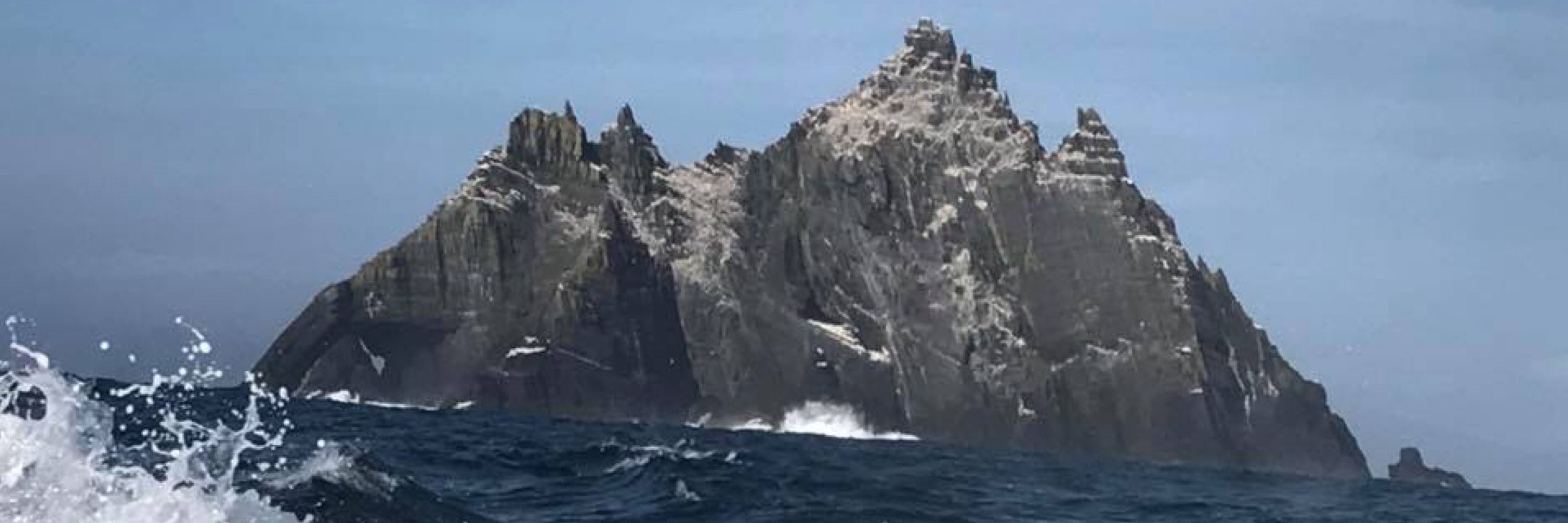
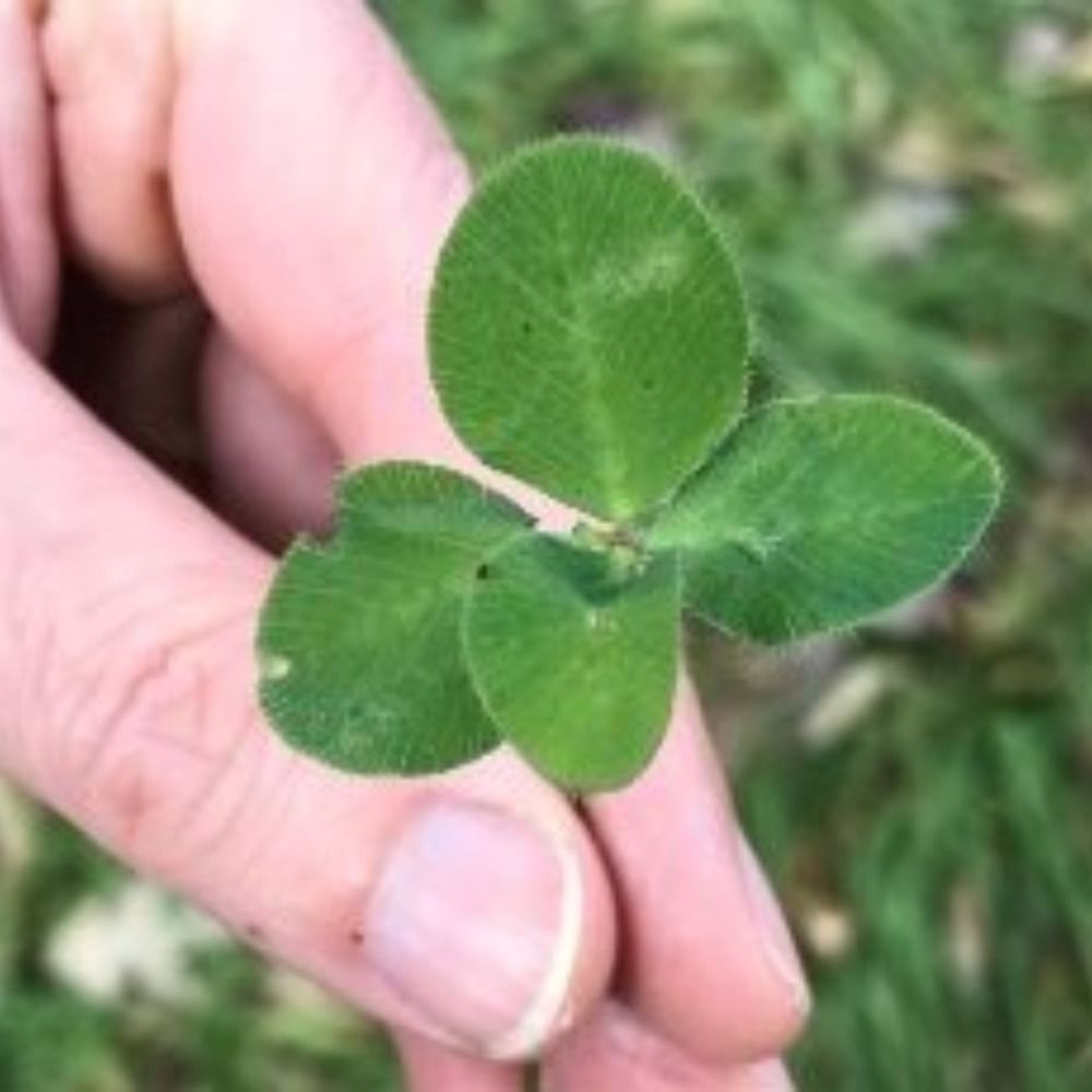
Banner: Skellig Michael Island off County Kerry. Portrait: Me holding a 🍀 in Galway.
Banner: Skellig Michael Island off County Kerry. Portrait: Me holding a 🍀 in Galway.
Ingenious solution.
You don’t keep a spare set of hex bits in your bike bag?
You don’t keep a spare set of hex bits in your bike bag?
November 8, 2025 at 6:59 PM
Ingenious solution.
You don’t keep a spare set of hex bits in your bike bag?
You don’t keep a spare set of hex bits in your bike bag?
I had to look up what a Charmera was. I biked downtown this morning to cheer on these inspiring athletes. It was wonderful to have the B&O available to safely bike in from the west side.
November 8, 2025 at 6:53 PM
I had to look up what a Charmera was. I biked downtown this morning to cheer on these inspiring athletes. It was wonderful to have the B&O available to safely bike in from the west side.
(2/2) …along 56th to about ~3900W where I cut through neighborhoods such as Saddlebrook, Morningside (48th), and Crooked Creek until I come to Coldspring at Michigan Rd. Then it’s a MUP south to the Canal Towpath and east to the Monon.
IMO there is no best route. Just differing degrees of bad.
IMO there is no best route. Just differing degrees of bad.
November 7, 2025 at 12:17 AM
(2/2) …along 56th to about ~3900W where I cut through neighborhoods such as Saddlebrook, Morningside (48th), and Crooked Creek until I come to Coldspring at Michigan Rd. Then it’s a MUP south to the Canal Towpath and east to the Monon.
IMO there is no best route. Just differing degrees of bad.
IMO there is no best route. Just differing degrees of bad.
(1/2) bazblue. You recall the situation correctly.
Heading east along 71st its trail/MUP to Georgetown. Afterward, it’s unprotected painted bike lane. At Spring Mill you pop up to 75th which leads east to the Monon.
If I am at Eagle Creek’s South Gate, I may ride a very intense MUP east …
Heading east along 71st its trail/MUP to Georgetown. Afterward, it’s unprotected painted bike lane. At Spring Mill you pop up to 75th which leads east to the Monon.
If I am at Eagle Creek’s South Gate, I may ride a very intense MUP east …
November 7, 2025 at 12:17 AM
(1/2) bazblue. You recall the situation correctly.
Heading east along 71st its trail/MUP to Georgetown. Afterward, it’s unprotected painted bike lane. At Spring Mill you pop up to 75th which leads east to the Monon.
If I am at Eagle Creek’s South Gate, I may ride a very intense MUP east …
Heading east along 71st its trail/MUP to Georgetown. Afterward, it’s unprotected painted bike lane. At Spring Mill you pop up to 75th which leads east to the Monon.
If I am at Eagle Creek’s South Gate, I may ride a very intense MUP east …
I see the makings of a satirical book.
November 6, 2025 at 12:02 PM
I see the makings of a satirical book.
YES! I am VERY excited about the city closing that 1.3 mile gap between the Eagle Creek Trail and the B&O in west Speedway. I'll be able to more safely get downtown and (more importantly) all you East-siders can safely venture out north-west to explore the amazing Eagle Creek Park.
November 5, 2025 at 2:33 AM
YES! I am VERY excited about the city closing that 1.3 mile gap between the Eagle Creek Trail and the B&O in west Speedway. I'll be able to more safely get downtown and (more importantly) all you East-siders can safely venture out north-west to explore the amazing Eagle Creek Park.
It’s not my favorite route but there aren’t a lot of good options for me if I want to start riding from home.
I generally felt pretty safe.
Just west of Michigan Rd, on a curve, lane is overgrown with honeysuckle which pushes you into traffic.
Lots of grit/sand in the bike lane courtesy DPW.
I generally felt pretty safe.
Just west of Michigan Rd, on a curve, lane is overgrown with honeysuckle which pushes you into traffic.
Lots of grit/sand in the bike lane courtesy DPW.
November 5, 2025 at 1:34 AM
It’s not my favorite route but there aren’t a lot of good options for me if I want to start riding from home.
I generally felt pretty safe.
Just west of Michigan Rd, on a curve, lane is overgrown with honeysuckle which pushes you into traffic.
Lots of grit/sand in the bike lane courtesy DPW.
I generally felt pretty safe.
Just west of Michigan Rd, on a curve, lane is overgrown with honeysuckle which pushes you into traffic.
Lots of grit/sand in the bike lane courtesy DPW.
Showing my full 6 mile route to Eagle Creek Park. The trail's missing 1.3 mile gap (Phase 2B), a connection that will run S.E. along the levy to the B&O Trail's Speedway pedestrian bridge, is "scheduled" to finish in a year. Can't wait!
www.facebook.com/share/p/17Jr...
www.indy.gov/activity/maj....
www.facebook.com/share/p/17Jr...
www.indy.gov/activity/maj....


November 3, 2025 at 4:04 PM
Showing my full 6 mile route to Eagle Creek Park. The trail's missing 1.3 mile gap (Phase 2B), a connection that will run S.E. along the levy to the B&O Trail's Speedway pedestrian bridge, is "scheduled" to finish in a year. Can't wait!
www.facebook.com/share/p/17Jr...
www.indy.gov/activity/maj....
www.facebook.com/share/p/17Jr...
www.indy.gov/activity/maj....
If you'd like to take a look, his name is @edfujawa.bsky.social. I find his mix of skeeting and blogging very effective and engaging - his posts generally use a photo with a brief intro to his topic with a link to his blog. Have you tried this approach for sharing your poetry and stories? (2/2)
November 3, 2025 at 2:55 AM
If you'd like to take a look, his name is @edfujawa.bsky.social. I find his mix of skeeting and blogging very effective and engaging - his posts generally use a photo with a brief intro to his topic with a link to his blog. Have you tried this approach for sharing your poetry and stories? (2/2)
Hi Jaime. I don't comment to my old Post friends as much as I used to but I thought I'd chime-in (butt-in?) about overcoming Bluesky char limits. One of my favorite follows here is an Indianapolis-based, local historian and author who uses Bluesky to link to his history essays on his blog. (1/2)
November 3, 2025 at 2:55 AM
Hi Jaime. I don't comment to my old Post friends as much as I used to but I thought I'd chime-in (butt-in?) about overcoming Bluesky char limits. One of my favorite follows here is an Indianapolis-based, local historian and author who uses Bluesky to link to his history essays on his blog. (1/2)
Seems about right - except I assume zero tax revenue will ever be realized.
November 2, 2025 at 10:09 PM
Seems about right - except I assume zero tax revenue will ever be realized.
Thanks for sharing this. I too hope the park can continue to grow. I’ve biked the wonderful Greenway system from the Hammond/Griffith area that leads to Dunes (the Oak-Savannah, Prairie Duneland and Porter-Brickyard Trails).
November 1, 2025 at 11:06 PM
Thanks for sharing this. I too hope the park can continue to grow. I’ve biked the wonderful Greenway system from the Hammond/Griffith area that leads to Dunes (the Oak-Savannah, Prairie Duneland and Porter-Brickyard Trails).
Nice job - a metric century! There was a rather strong breeze today but it was mostly a crosswind for your ride!
October 31, 2025 at 11:44 PM
Nice job - a metric century! There was a rather strong breeze today but it was mostly a crosswind for your ride!
Does a comprehensive list of BlueSky labelers exist someplace? This particular one seems quite useful.
October 30, 2025 at 11:28 PM
Does a comprehensive list of BlueSky labelers exist someplace? This particular one seems quite useful.
I actually may switch to ending all my google searches with "Dumbass" rather than "-AI" 😄
October 30, 2025 at 5:34 PM
I actually may switch to ending all my google searches with "Dumbass" rather than "-AI" 😄