


Mergin Maps
@merginmaps.bsky.social
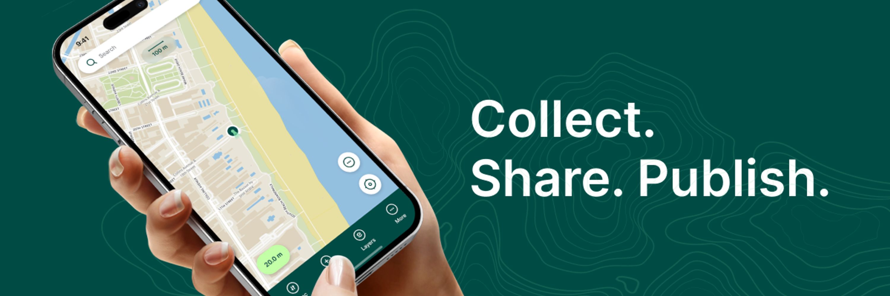
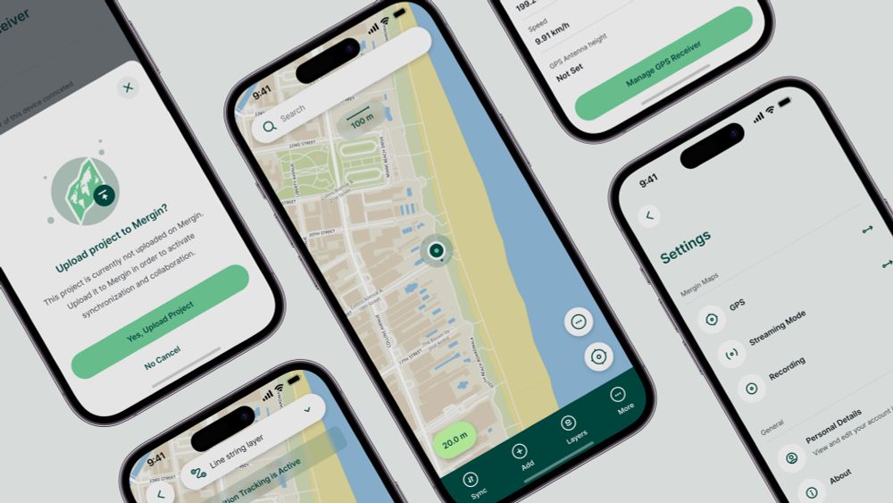
🌍 Mergin Maps is a field data collection tool built on the free and open-source QGIS which allows you to collect, store and synchronise your data with your team.
Check out our website: https://merginmaps.com/
Check out our website: https://merginmaps.com/
The British Geological Survey just dropped their proprietary tools for an open-source stack. 🌍⚒️
They’re now using QGIS + Mergin Maps for nationwide geological mapping.
👉 Runs on rugged tablets & phones
👉 Syncs seamlessly
👉 Enforces data quality in the field
Open source winning in the wild. 🌱
They’re now using QGIS + Mergin Maps for nationwide geological mapping.
👉 Runs on rugged tablets & phones
👉 Syncs seamlessly
👉 Enforces data quality in the field
Open source winning in the wild. 🌱

January 12, 2026 at 3:02 PM
The British Geological Survey just dropped their proprietary tools for an open-source stack. 🌍⚒️
They’re now using QGIS + Mergin Maps for nationwide geological mapping.
👉 Runs on rugged tablets & phones
👉 Syncs seamlessly
👉 Enforces data quality in the field
Open source winning in the wild. 🌱
They’re now using QGIS + Mergin Maps for nationwide geological mapping.
👉 Runs on rugged tablets & phones
👉 Syncs seamlessly
👉 Enforces data quality in the field
Open source winning in the wild. 🌱
A final surprise for the year - shared maps via URL🎁
This feature lets you share project overviews with people who do not have a Mergin Maps account. It is great for showing data to clients or the public simply.
It is in early access now. We would love your feedback. 🗺️✨
This feature lets you share project overviews with people who do not have a Mergin Maps account. It is great for showing data to clients or the public simply.
It is in early access now. We would love your feedback. 🗺️✨

December 15, 2025 at 2:57 PM
A final surprise for the year - shared maps via URL🎁
This feature lets you share project overviews with people who do not have a Mergin Maps account. It is great for showing data to clients or the public simply.
It is in early access now. We would love your feedback. 🗺️✨
This feature lets you share project overviews with people who do not have a Mergin Maps account. It is great for showing data to clients or the public simply.
It is in early access now. We would love your feedback. 🗺️✨
Did you know that you can use HTML in your Mergin Maps project to give users in the field access to information or other documents related to your survey?
We’ll show you a few ways that you can use HTML to improve your survey workflow.
Read here to learn more: merginmaps.com/blog/support...
We’ll show you a few ways that you can use HTML to improve your survey workflow.
Read here to learn more: merginmaps.com/blog/support...

November 20, 2025 at 9:40 AM
Did you know that you can use HTML in your Mergin Maps project to give users in the field access to information or other documents related to your survey?
We’ll show you a few ways that you can use HTML to improve your survey workflow.
Read here to learn more: merginmaps.com/blog/support...
We’ll show you a few ways that you can use HTML to improve your survey workflow.
Read here to learn more: merginmaps.com/blog/support...
You still have time to sighn up for #MerginMaps for Enterprise Administrators Training
🗓️ 19 November 2025 | 💶 €400 per seat | 👥 Limited to 12 participants
More info here: www.lutraconsulting.co.uk/training/mer...
🗓️ 19 November 2025 | 💶 €400 per seat | 👥 Limited to 12 participants
More info here: www.lutraconsulting.co.uk/training/mer...

November 3, 2025 at 2:41 PM
You still have time to sighn up for #MerginMaps for Enterprise Administrators Training
🗓️ 19 November 2025 | 💶 €400 per seat | 👥 Limited to 12 participants
More info here: www.lutraconsulting.co.uk/training/mer...
🗓️ 19 November 2025 | 💶 €400 per seat | 👥 Limited to 12 participants
More info here: www.lutraconsulting.co.uk/training/mer...
🌎We are attending FOSS4G North America! 🌎
We’ll be at FOSS4G North America 2025 and this time, we’re not just attendees.
Join us on our talks and workshops lead by our experts Peter Petrík & Martin Dobias. We will be leading hands-on workshops that dig deep into the technologies you love (and use 😉)
We’ll be at FOSS4G North America 2025 and this time, we’re not just attendees.
Join us on our talks and workshops lead by our experts Peter Petrík & Martin Dobias. We will be leading hands-on workshops that dig deep into the technologies you love (and use 😉)


October 8, 2025 at 12:06 PM
🌎We are attending FOSS4G North America! 🌎
We’ll be at FOSS4G North America 2025 and this time, we’re not just attendees.
Join us on our talks and workshops lead by our experts Peter Petrík & Martin Dobias. We will be leading hands-on workshops that dig deep into the technologies you love (and use 😉)
We’ll be at FOSS4G North America 2025 and this time, we’re not just attendees.
Join us on our talks and workshops lead by our experts Peter Petrík & Martin Dobias. We will be leading hands-on workshops that dig deep into the technologies you love (and use 😉)
📣 New Training Alert: Mergin Maps for Enterprise Administrators
🗓️ 19 November 2025 | 💶 €400 per seat | 👥 Limited to 12 participants
Learn more here: www.lutraconsulting.co.uk/training/mer...
🗓️ 19 November 2025 | 💶 €400 per seat | 👥 Limited to 12 participants
Learn more here: www.lutraconsulting.co.uk/training/mer...
October 6, 2025 at 2:09 PM
📣 New Training Alert: Mergin Maps for Enterprise Administrators
🗓️ 19 November 2025 | 💶 €400 per seat | 👥 Limited to 12 participants
Learn more here: www.lutraconsulting.co.uk/training/mer...
🗓️ 19 November 2025 | 💶 €400 per seat | 👥 Limited to 12 participants
Learn more here: www.lutraconsulting.co.uk/training/mer...
🌍 The EU Deforestation Regulation (EUDR) is here.
📍 Companies must prove supply chains are deforestation-free.
With MerginMaps, field teams can:
✅ Map polygons
✅ Collect data offline
✅ Sync with QGIS
EUDR compliance made simple → merginmaps.com/industry/eud...
📍 Companies must prove supply chains are deforestation-free.
With MerginMaps, field teams can:
✅ Map polygons
✅ Collect data offline
✅ Sync with QGIS
EUDR compliance made simple → merginmaps.com/industry/eud...


September 24, 2025 at 12:03 PM
🌍 The EU Deforestation Regulation (EUDR) is here.
📍 Companies must prove supply chains are deforestation-free.
With MerginMaps, field teams can:
✅ Map polygons
✅ Collect data offline
✅ Sync with QGIS
EUDR compliance made simple → merginmaps.com/industry/eud...
📍 Companies must prove supply chains are deforestation-free.
With MerginMaps, field teams can:
✅ Map polygons
✅ Collect data offline
✅ Sync with QGIS
EUDR compliance made simple → merginmaps.com/industry/eud...
You wish we listen!
Layers list can now follow #QGIS order!
You can now order layers based on the QGIS layer tree order. This is enabled by default for new projects. For existing projects, you can turn it on in the project settings in QGIS.
#QGIS #MerginMaps #OpenSource #FieldDataCollection #GIS
Layers list can now follow #QGIS order!
You can now order layers based on the QGIS layer tree order. This is enabled by default for new projects. For existing projects, you can turn it on in the project settings in QGIS.
#QGIS #MerginMaps #OpenSource #FieldDataCollection #GIS
August 20, 2025 at 10:16 AM
You wish we listen!
Layers list can now follow #QGIS order!
You can now order layers based on the QGIS layer tree order. This is enabled by default for new projects. For existing projects, you can turn it on in the project settings in QGIS.
#QGIS #MerginMaps #OpenSource #FieldDataCollection #GIS
Layers list can now follow #QGIS order!
You can now order layers based on the QGIS layer tree order. This is enabled by default for new projects. For existing projects, you can turn it on in the project settings in QGIS.
#QGIS #MerginMaps #OpenSource #FieldDataCollection #GIS
We are thrilled to announce a new partner and a reseller: Aichinger & Partner Prüfservice GmbH! 🙌
#QGIS #GIS #MerginMaps #Partnership #Reseller #OpenSource #FieldDataCollection
#QGIS #GIS #MerginMaps #Partnership #Reseller #OpenSource #FieldDataCollection

August 4, 2025 at 9:25 AM
We are thrilled to announce a new partner and a reseller: Aichinger & Partner Prüfservice GmbH! 🙌
#QGIS #GIS #MerginMaps #Partnership #Reseller #OpenSource #FieldDataCollection
#QGIS #GIS #MerginMaps #Partnership #Reseller #OpenSource #FieldDataCollection
Mergin Maps has a new parner! 🙌
GeoCat builds sustainable applications following the Free and Open Source Software (FOSS) philosophy and open standards since 2007. GeoCat does this with the goal of providing Enterprise quality solutions that are sustainably developed, maintained and funded.
GeoCat builds sustainable applications following the Free and Open Source Software (FOSS) philosophy and open standards since 2007. GeoCat does this with the goal of providing Enterprise quality solutions that are sustainably developed, maintained and funded.

August 1, 2025 at 2:37 PM
Mergin Maps has a new parner! 🙌
GeoCat builds sustainable applications following the Free and Open Source Software (FOSS) philosophy and open standards since 2007. GeoCat does this with the goal of providing Enterprise quality solutions that are sustainably developed, maintained and funded.
GeoCat builds sustainable applications following the Free and Open Source Software (FOSS) philosophy and open standards since 2007. GeoCat does this with the goal of providing Enterprise quality solutions that are sustainably developed, maintained and funded.
Mergin Maps gets... sketchy? 🤔
We’ve added a new feature that lets you draw free-hand on your mapping project!🎨 It will allow you to make notes or drawings on a separate map layer from your survey data.
Check out our new blog to learn more: merginmaps.com/blog/mergin-...
#MerginMaps #QGIS
We’ve added a new feature that lets you draw free-hand on your mapping project!🎨 It will allow you to make notes or drawings on a separate map layer from your survey data.
Check out our new blog to learn more: merginmaps.com/blog/mergin-...
#MerginMaps #QGIS

July 31, 2025 at 12:22 PM
Mergin Maps gets... sketchy? 🤔
We’ve added a new feature that lets you draw free-hand on your mapping project!🎨 It will allow you to make notes or drawings on a separate map layer from your survey data.
Check out our new blog to learn more: merginmaps.com/blog/mergin-...
#MerginMaps #QGIS
We’ve added a new feature that lets you draw free-hand on your mapping project!🎨 It will allow you to make notes or drawings on a separate map layer from your survey data.
Check out our new blog to learn more: merginmaps.com/blog/mergin-...
#MerginMaps #QGIS