


Adrian Leyser Sturm
@leysersturm.bsky.social
Meteorologist👨🎓
Storm Chaser & Photographer🌪📸
Forecaster & Radar/Tornado Expert
@dwdderwetterdienst.bsky.social
📍Oberursel • Frankfurt/M.• Idar-Oberstein | Germany
Storm Chaser & Photographer🌪📸
Forecaster & Radar/Tornado Expert
@dwdderwetterdienst.bsky.social
📍Oberursel • Frankfurt/M.• Idar-Oberstein | Germany
The (possible record-breaking) Canarian #heat bubble (up to 35 °C!) will be sucked in by powerful Atlantic cyclones and carried as far as W-/C-Europe. By the middle of next week, temperatures of around 20 °C and locally around 25 °C are possible there too. #summerlike #weather #forecast #extreme
November 2, 2025 at 11:37 AM
The (possible record-breaking) Canarian #heat bubble (up to 35 °C!) will be sucked in by powerful Atlantic cyclones and carried as far as W-/C-Europe. By the middle of next week, temperatures of around 20 °C and locally around 25 °C are possible there too. #summerlike #weather #forecast #extreme
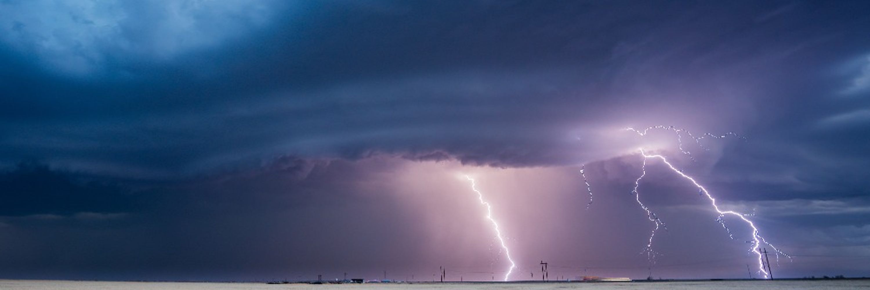
#Hurricane #Melissa from a #radar perspective. At first glance, the images may not be as stunning as the satellite images of the storm, but they impressively show how Melissa developed into an almost perfect storm with an almost perfect eye wall.
October 29, 2025 at 4:38 AM
#Hurricane #Melissa from a #radar perspective. At first glance, the images may not be as stunning as the satellite images of the storm, but they impressively show how Melissa developed into an almost perfect storm with an almost perfect eye wall.
And here is the radar animation. You can see the continuous “backbulding”. New cells keep forming upstream (i.e. against the movement). The highest reflectivities (the strongest precipitation) thus remain in place.
October 13, 2025 at 11:14 AM
And here is the radar animation. You can see the continuous “backbulding”. New cells keep forming upstream (i.e. against the movement). The highest reflectivities (the strongest precipitation) thus remain in place.
Further (extreme) heavy rainfall and floods for parts of #Spain due to #DANA (=Depresión Aislada en Niveles Altos) #Alice. After #Tarragona was affected yesterday, this time it is the region south of #Valencia and #Amposta. The satellite image shows a two huge, stationary storm systems.
October 13, 2025 at 11:02 AM