


James G. LaDue (Jim)
@jladue.bsky.social
Meteorologist, passionate about severe local storms, winter weather, better community resilience against hazards, photography, sailing, skiing, hiking, democratic discourse, family, travel.
Former NWIRP acting Director, teaching severe storms for awhile
Former NWIRP acting Director, teaching severe storms for awhile
I'm sure glad the radars are still running so we can see what a hailer can do to splatter the S-band radiation in all sorts of directions, whether from side lobes or the main beam. Earth is going to get close to this.#txwx

April 24, 2025 at 2:43 AM
I'm sure glad the radars are still running so we can see what a hailer can do to splatter the S-band radiation in all sorts of directions, whether from side lobes or the main beam. Earth is going to get close to this.#txwx


After a super windy March, this is a nice change in #okwx. This was taken from a race hosted by the Lake Thunderbird Education Foundation. thunderbirdsailingclub.org

April 10, 2025 at 3:16 AM
After a super windy March, this is a nice change in #okwx. This was taken from a race hosted by the Lake Thunderbird Education Foundation. thunderbirdsailingclub.org
Check out the 75 mph gust and near 10mb oscillation in at the Ringling, OK Mesonet site!


April 5, 2025 at 9:34 AM
Check out the 75 mph gust and near 10mb oscillation in at the Ringling, OK Mesonet site!
Look at Byers gusting to 63 mph!

April 5, 2025 at 8:58 AM
Look at Byers gusting to 63 mph!
Third night in a row of a gravity wave flying through OK. This one’s enough to reverse a 40 mph north wind to a 60 mph south wind.
April 5, 2025 at 8:57 AM
Third night in a row of a gravity wave flying through OK. This one’s enough to reverse a 40 mph north wind to a 60 mph south wind.
Look, a gravity wave.

April 4, 2025 at 10:22 AM
Look, a gravity wave.
Here's an odd CC drop that looks like a distant debris signature SE of Van Wert, OH. It's along a shear zone but not associated with a significant reflectivity line. That's to the SW. But I can't rule out a tornado either.
April 3, 2025 at 3:05 AM
Here's an odd CC drop that looks like a distant debris signature SE of Van Wert, OH. It's along a shear zone but not associated with a significant reflectivity line. That's to the SW. But I can't rule out a tornado either.
Look upstairs and see some amazing supercell updraft signatures NW of Memphis.

April 3, 2025 at 1:13 AM
Look upstairs and see some amazing supercell updraft signatures NW of Memphis.
Here are a few more moments


April 1, 2025 at 2:13 AM
Here are a few more moments
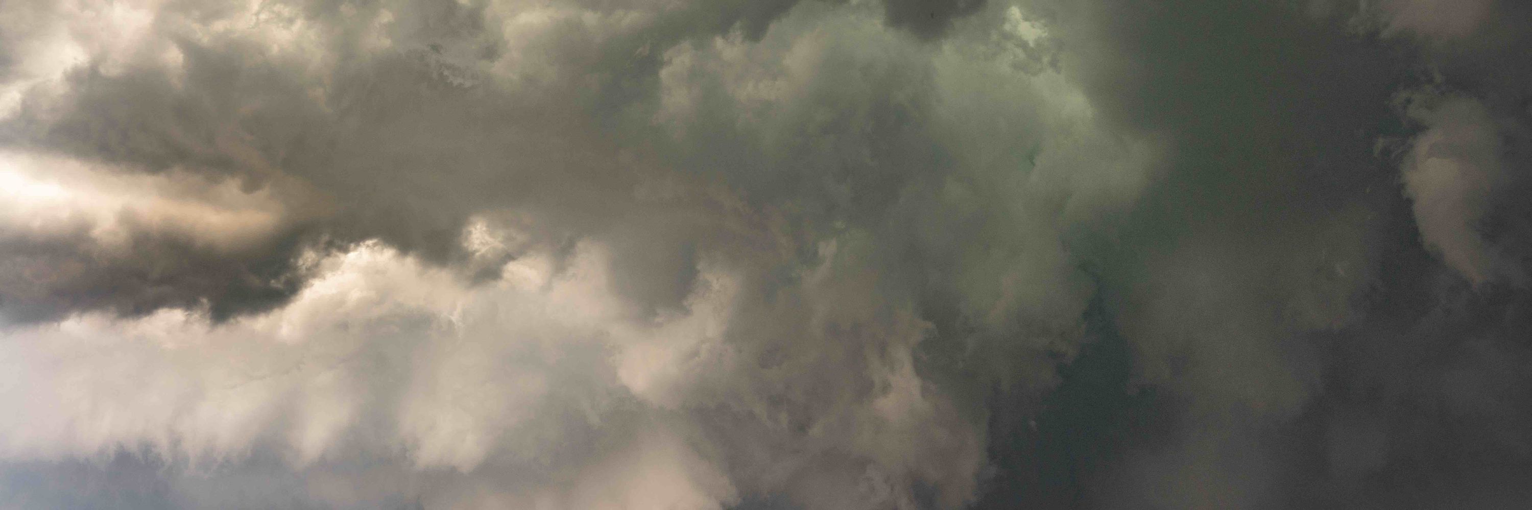
This supercell east of Cheyenne went up with surface temps in the mid 40's F. The storm appeared to have little rain, a lot of ice, and a rather prominent peak. It's got high Zdrs (much higher than anything down low), very low CCs and high spectrum widths. I've got my own idea what it is.


April 1, 2025 at 2:12 AM
This supercell east of Cheyenne went up with surface temps in the mid 40's F. The storm appeared to have little rain, a lot of ice, and a rather prominent peak. It's got high Zdrs (much higher than anything down low), very low CCs and high spectrum widths. I've got my own idea what it is.
Look at that string of updrafts (circled in the lower right).

March 30, 2025 at 3:53 AM
Look at that string of updrafts (circled in the lower right).
Here's the left split. Best anticyclonic rotation is up at 20 kft.

March 30, 2025 at 3:06 AM
Here's the left split. Best anticyclonic rotation is up at 20 kft.
Is this why the only rotating storm I see is the left mover passing over Chickasha? Knock off the lowest 700m of flow and it's all negative SRH.

March 30, 2025 at 3:00 AM
Is this why the only rotating storm I see is the left mover passing over Chickasha? Knock off the lowest 700m of flow and it's all negative SRH.
Thunderstorm gravity waves are flying through the Northern Lower MI peninsula. That means high wind gusts even with low 30s F temps. Cool! See the paper by Borchardt and co-authors. doi.org/10.1175/WAF-...
March 29, 2025 at 2:54 AM
Thunderstorm gravity waves are flying through the Northern Lower MI peninsula. That means high wind gusts even with low 30s F temps. Cool! See the paper by Borchardt and co-authors. doi.org/10.1175/WAF-...
Oh and the overland flooding in this unit streamflow compares well with the Flash Flood Emergency.
March 28, 2025 at 3:09 AM
Oh and the overland flooding in this unit streamflow compares well with the Flash Flood Emergency.
I pulled up GR3 and the storm total rain was saturated at 5” over most of the Brownsville and Lowe Rio Grand area. It’s so extreme I thought it was an error. Nope.
March 28, 2025 at 3:02 AM
I pulled up GR3 and the storm total rain was saturated at 5” over most of the Brownsville and Lowe Rio Grand area. It’s so extreme I thought it was an error. Nope.
The cells will move into lower terrain with somewhat more moisture content. There's a chance for some hail, but not expecting severe hail.

March 27, 2025 at 1:12 AM
The cells will move into lower terrain with somewhat more moisture content. There's a chance for some hail, but not expecting severe hail.
A new cell fired up north of the older cluster west of Mt. St. Helens. But so far there are no low-level velocity perturbations (like azimuthal shear).

March 27, 2025 at 1:06 AM
A new cell fired up north of the older cluster west of Mt. St. Helens. But so far there are no low-level velocity perturbations (like azimuthal shear).
Well, maybe this storm is picking up a bit. 45 dBZ to 20kft ARL.

March 27, 2025 at 12:21 AM
Well, maybe this storm is picking up a bit. 45 dBZ to 20kft ARL.
The convection is responding, or not, in kind. Will there be any improvement?

March 27, 2025 at 12:15 AM
The convection is responding, or not, in kind. Will there be any improvement?
A typical forecast was like this for the same time. m2o.pivotalweather.com/maps/models/...

March 27, 2025 at 12:03 AM
A typical forecast was like this for the same time. m2o.pivotalweather.com/maps/models/...
Regarding the PACNW severe, I'm just not seeing the CAPE anywhere near forecast. Current analysis has 500-1000 www.spc.noaa.gov/exper/mesoan...

March 27, 2025 at 12:02 AM
Regarding the PACNW severe, I'm just not seeing the CAPE anywhere near forecast. Current analysis has 500-1000 www.spc.noaa.gov/exper/mesoan...
Apparently lake effect snow was quite active off of Lakes Eufaula and Texoma #okwx this morning and yesterday. Here are a couple images of previous snow tracks and current cloud plumes.

February 20, 2025 at 4:38 PM
Apparently lake effect snow was quite active off of Lakes Eufaula and Texoma #okwx this morning and yesterday. Here are a couple images of previous snow tracks and current cloud plumes.
Oh and the lightning! This sounding isn't anywhere close to melting, like so many snow thunderstorms. But recent studies show how many times towers help bridge the gap. #NYWX Here's a great recent paper on lake effect lightning. doi.org/10.1175/BAMS...
January 21, 2025 at 2:52 AM
Oh and the lightning! This sounding isn't anywhere close to melting, like so many snow thunderstorms. But recent studies show how many times towers help bridge the gap. #NYWX Here's a great recent paper on lake effect lightning. doi.org/10.1175/BAMS...