


FireMap.live
@firemap.bsky.social
Real-wildfire data at your fingertips 🌍 | Visualize global wildfire activity instantly 🔥 | Bushfire Map | #GeoINT #GeoAI| Currently in Beta
Lots of interesting maps and data in there. Thank you!
June 9, 2025 at 6:43 PM
Lots of interesting maps and data in there. Thank you!
Absolutely—tracking these fires is challenging. We've linked authoritative data with real-time satellite sensors on FireMap.live, letting you quickly pinpoint which fires are most active, boundary-free. Stay informed and safe! 🔥🛰️🌎
May 30, 2025 at 8:40 PM
Absolutely—tracking these fires is challenging. We've linked authoritative data with real-time satellite sensors on FireMap.live, letting you quickly pinpoint which fires are most active, boundary-free. Stay informed and safe! 🔥🛰️🌎
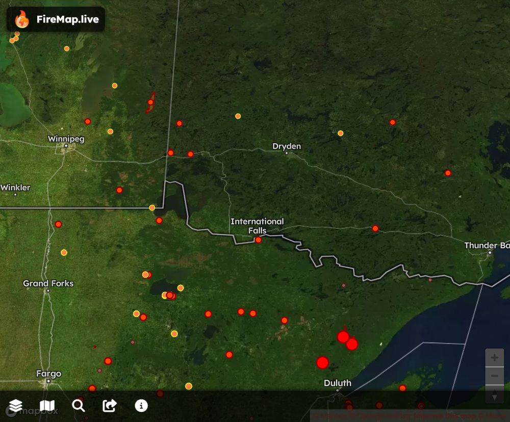
Feel fire to check FireMap for satellite hotspots and burned area boundary updates.
firemap.live?lng=-93.4505...
firemap.live?lng=-93.4505...
May 13, 2025 at 10:25 PM
Feel fire to check FireMap for satellite hotspots and burned area boundary updates.
firemap.live?lng=-93.4505...
firemap.live?lng=-93.4505...
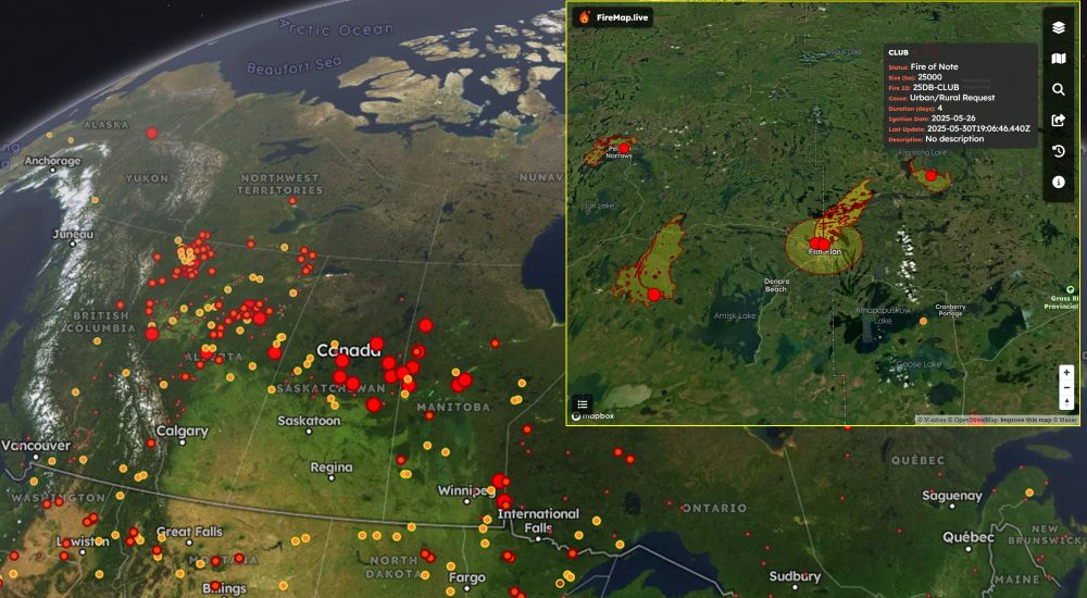
Table Rock, Persimmon Ridge, Big Ridge—& countless others. Wildfires are raging across the Carolinas & Georgia NOW. FireMap.live gives you live satellite hotspots & epic 3D views. We’ve got every blaze here—and worldwide—covered. Watch, share, stay alert—see FireMap
March 28, 2025 at 8:37 PM
When it comes to mapping it does seem that BC is more liberal with classifying fires as active than other jurisdictions. I wonder if there is still a heat signature coming off these ones in NE BC?
February 24, 2025 at 8:19 PM
When it comes to mapping it does seem that BC is more liberal with classifying fires as active than other jurisdictions. I wonder if there is still a heat signature coming off these ones in NE BC?
Here is an overview of the burned area boundary for Laguna Fire
bsky.app/profile/fire...
bsky.app/profile/fire...
Initial burn area boundary mapped for #LagunaFire near California State University Channel Islands campus in Ventura County. See #FireMap for updates
January 23, 2025 at 6:46 PM
Here is an overview of the burned area boundary for Laguna Fire
bsky.app/profile/fire...
bsky.app/profile/fire...
Scary how little coverage this is getting.
January 23, 2025 at 6:45 PM
Scary how little coverage this is getting.