


Dave Sills 🌪️🎶⚓
@davesills.ca
Tornado guru at uwo.ca/ntp & the new CSSL.ca in #Londontario, #GreatLakes sailor, my debut album is 'Fifty' (bit.ly/40WqxUy), my latest album (all videos) is 'Cover Me' (bit.ly/3V1MnCG), ECCC & YorkU alumnus #FightFascism #WorkForPeace

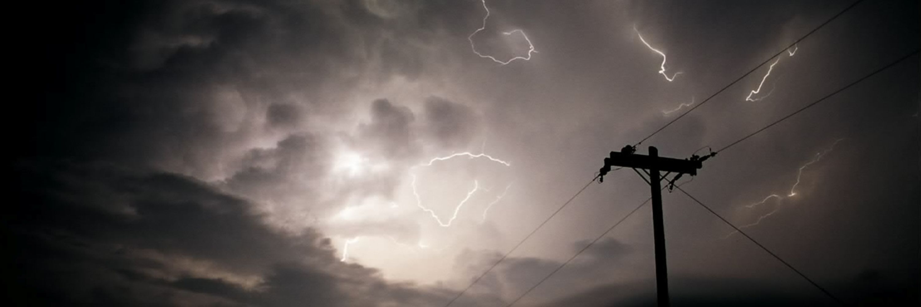
An intense, nearly stationary lake-effect snow band sets up off southern Lake Huron overnight and some models (like the Canadian HRDPS) give London perhaps 30+ cm by late Tuesday morning. Given so many leaves still on trees this could be a major problem. Keeping an eye on this! #ONstorm #LdnOnt

November 10, 2025 at 2:33 PM
Ontario’s own @thebeaches.bsky.social put on one hell of a rock show tonight in #Londontario. Bangers from start to finish. And two marriage proposals during the encore - is this a new thing?? Second show tomorrow - don’t miss it. #BlueskyMusic

November 10, 2025 at 4:25 AM
Ontario’s own @thebeaches.bsky.social put on one hell of a rock show tonight in #Londontario. Bangers from start to finish. And two marriage proposals during the encore - is this a new thing?? Second show tomorrow - don’t miss it. #BlueskyMusic
It’s begun. Just saw the first snowflakes of the season in Londontario. Could see up to 10 cm by Tuesday, and likely more in typical snowbelt areas. #WinterIsComing

November 9, 2025 at 3:45 AM
It’s begun. Just saw the first snowflakes of the season in Londontario. Could see up to 10 cm by Tuesday, and likely more in typical snowbelt areas. #WinterIsComing
The ImpactWX Genesis Grant is now accepting applications!
For the past 3 years I’ve served on the Advisory Council to support this grant which provides funding to community organizations developing new ideas related to severe weather response and awareness.
Details here: impactwx.com/genesis-grant
For the past 3 years I’ve served on the Advisory Council to support this grant which provides funding to community organizations developing new ideas related to severe weather response and awareness.
Details here: impactwx.com/genesis-grant

November 6, 2025 at 8:38 PM
The ImpactWX Genesis Grant is now accepting applications!
For the past 3 years I’ve served on the Advisory Council to support this grant which provides funding to community organizations developing new ideas related to severe weather response and awareness.
Details here: impactwx.com/genesis-grant
For the past 3 years I’ve served on the Advisory Council to support this grant which provides funding to community organizations developing new ideas related to severe weather response and awareness.
Details here: impactwx.com/genesis-grant
The details may be different, but all models are in agreement that the lake-effect snow machine kicks in early next week. Will very likely be 15+ centimetres in some of the snowbelt regions. Get those winter tires on! :-) #WinterIsComing #ONstorm

November 5, 2025 at 11:52 AM
The details may be different, but all models are in agreement that the lake-effect snow machine kicks in early next week. Will very likely be 15+ centimetres in some of the snowbelt regions. Get those winter tires on! :-) #WinterIsComing #ONstorm
A few surprise low-CAPE high-shear supercells yesterday NW of Toronto. Weak rotation aloft and not much at lower levels. But severe hail reported at various locations. Maybe up to 3 cm diameter. In some places covering the ground. Among the most severe storms of the year in those areas. #ONstorm

November 4, 2025 at 12:20 PM
A few surprise low-CAPE high-shear supercells yesterday NW of Toronto. Weak rotation aloft and not much at lower levels. But severe hail reported at various locations. Maybe up to 3 cm diameter. In some places covering the ground. Among the most severe storms of the year in those areas. #ONstorm
It's been interesting watching what the various models do with the remnants of #Melissa - the Canadian GDPS has been persistent with a western track through Newfoundland. All other models took it east, but are now bending toward the GDPS solution, and taking aim at St. John's early Sun morning.

October 30, 2025 at 11:17 AM
It's been interesting watching what the various models do with the remnants of #Melissa - the Canadian GDPS has been persistent with a western track through Newfoundland. All other models took it east, but are now bending toward the GDPS solution, and taking aim at St. John's early Sun morning.
Attended the closing night of Shakespeare's As You Like It last night at Stratford, ON's Festival Theatre. All the world's indeed a stage, and I was pleasantly surprised at the production. In particular, the songs that @ronsexsmith.bsky.social had a hand in creating - just the right touch. Congrats!

October 25, 2025 at 12:41 PM
Attended the closing night of Shakespeare's As You Like It last night at Stratford, ON's Festival Theatre. All the world's indeed a stage, and I was pleasantly surprised at the production. In particular, the songs that @ronsexsmith.bsky.social had a hand in creating - just the right touch. Congrats!
If Carney is waiting for a sign, this is it - the orange tyrant can cut off good-faith negotiations whenever his feelings get hurt, whenever he likes. He could do the same *after* an agreement is 'signed'. There's no point in negotiating with the US to try to save the trade relationship. It's over.

October 24, 2025 at 11:44 AM
If Carney is waiting for a sign, this is it - the orange tyrant can cut off good-faith negotiations whenever his feelings get hurt, whenever he likes. He could do the same *after* an agreement is 'signed'. There's no point in negotiating with the US to try to save the trade relationship. It's over.
Small area of weak rotation up at the northern end of Georgian Bay, with a 'broken-S' signature showing up on Britt (CASBI) radar. #ONstorm

October 19, 2025 at 6:35 PM
Small area of weak rotation up at the northern end of Georgian Bay, with a 'broken-S' signature showing up on Britt (CASBI) radar. #ONstorm
Non-zero tornado threat over central parts of southern ON with this convective line developing now. I've found that the SPC Mesonanalysis 'tornadic tilting and stretching parameter' seems to work well in such situations. And it's showing enhanced potential. Will be keeping an eye on this... #ONstorm

October 19, 2025 at 4:42 PM
Non-zero tornado threat over central parts of southern ON with this convective line developing now. I've found that the SPC Mesonanalysis 'tornadic tilting and stretching parameter' seems to work well in such situations. And it's showing enhanced potential. Will be keeping an eye on this... #ONstorm
I grew up listening to the North American release of Help! (on 8-track). It was the movie soundtrack, so featured a number of classical numbers interspersed among the Beatles hits. IMHO they are just as memorable - and was first use of sitar on a Beatles album :-)
music.youtube.com/watch?v=ekYH...
music.youtube.com/watch?v=ekYH...

October 16, 2025 at 6:53 PM
I grew up listening to the North American release of Help! (on 8-track). It was the movie soundtrack, so featured a number of classical numbers interspersed among the Beatles hits. IMHO they are just as memorable - and was first use of sitar on a Beatles album :-)
music.youtube.com/watch?v=ekYH...
music.youtube.com/watch?v=ekYH...
A while back I had heard that there was a memorial plaque in Barrie, ON for the victims of the 31 May 1985 F4 tornado there. I lived for a while in Barrie and never saw it. I finally found it - and of course it’s in ‘Shear’ Park. #ONstorm


October 11, 2025 at 7:36 PM
A while back I had heard that there was a memorial plaque in Barrie, ON for the victims of the 31 May 1985 F4 tornado there. I lived for a while in Barrie and never saw it. I finally found it - and of course it’s in ‘Shear’ Park. #ONstorm
Here's the radar at right about the time of the the EF5 damage near Enderlin, ND, from KMVX (Fargo). Intense azimuthal shear.
Given there was a massive, high-intensity QLCS bearing down on the area, I have to wonder if the QLCS had an influence on the supercell/tornado intensity at Enderlin. #NDwx
Given there was a massive, high-intensity QLCS bearing down on the area, I have to wonder if the QLCS had an influence on the supercell/tornado intensity at Enderlin. #NDwx


October 6, 2025 at 7:16 PM
Here's the radar at right about the time of the the EF5 damage near Enderlin, ND, from KMVX (Fargo). Intense azimuthal shear.
Given there was a massive, high-intensity QLCS bearing down on the area, I have to wonder if the QLCS had an influence on the supercell/tornado intensity at Enderlin. #NDwx
Given there was a massive, high-intensity QLCS bearing down on the area, I have to wonder if the QLCS had an influence on the supercell/tornado intensity at Enderlin. #NDwx
Love this - from today’s Globe and Mail.

October 1, 2025 at 1:49 AM
Love this - from today’s Globe and Mail.
I parked on the @westernu.ca campus and was walking toward my building when I heard a bird that stopped me in my tracks. There were two bald eagles in a dead tree at the edge of the Thames River not 50 m away. One flew away but I got a quick pic of the other one. Amazing nature in the city! #LdnOnt

September 24, 2025 at 3:12 PM
I parked on the @westernu.ca campus and was walking toward my building when I heard a bird that stopped me in my tracks. There were two bald eagles in a dead tree at the edge of the Thames River not 50 m away. One flew away but I got a quick pic of the other one. Amazing nature in the city! #LdnOnt
New (conference) paper alert!
'Missed' EF2 tornadoes in Canada and the role of radar from the 41st AMS International Conference on Radar Meteorology in Toronto.
Thanks to co-authors @lesleyelliott.bsky.social, @shobenase.bsky.social and Norman Donaldson.
www.researchgate.net/publication/...
'Missed' EF2 tornadoes in Canada and the role of radar from the 41st AMS International Conference on Radar Meteorology in Toronto.
Thanks to co-authors @lesleyelliott.bsky.social, @shobenase.bsky.social and Norman Donaldson.
www.researchgate.net/publication/...

September 24, 2025 at 12:28 PM
New (conference) paper alert!
'Missed' EF2 tornadoes in Canada and the role of radar from the 41st AMS International Conference on Radar Meteorology in Toronto.
Thanks to co-authors @lesleyelliott.bsky.social, @shobenase.bsky.social and Norman Donaldson.
www.researchgate.net/publication/...
'Missed' EF2 tornadoes in Canada and the role of radar from the 41st AMS International Conference on Radar Meteorology in Toronto.
Thanks to co-authors @lesleyelliott.bsky.social, @shobenase.bsky.social and Norman Donaldson.
www.researchgate.net/publication/...
Tornado warning up for southwestern Manitoba with supercell / storm rotation moving NNW near Medora. Take shelter if in the area. #MBstorm

September 15, 2025 at 1:09 AM
Tornado warning up for southwestern Manitoba with supercell / storm rotation moving NNW near Medora. Take shelter if in the area. #MBstorm
With the 10 tornadoes added today from past months, the 2025 national tornado count goes to 66. Which is tied for 2017 at this point in the season for the *least* number of tornadoes since NTP began in 2017. And is almost half of what Canada experienced last year.
Will be looking into the why...
Will be looking into the why...

September 8, 2025 at 5:31 PM
With the 10 tornadoes added today from past months, the 2025 national tornado count goes to 66. Which is tied for 2017 at this point in the season for the *least* number of tornadoes since NTP began in 2017. And is almost half of what Canada experienced last year.
Will be looking into the why...
Will be looking into the why...
I'll be surprised if these two supercells southeast of Val D'Or, QC are not producing tornadoes. Moving northeast, about to cross Hwy 117. These are severe warned but not tornado warned, so you won't see an alert on your cell phone. But probably a good idea to take shelter if in the area. #meteoQC

September 5, 2025 at 9:20 PM
I'll be surprised if these two supercells southeast of Val D'Or, QC are not producing tornadoes. Moving northeast, about to cross Hwy 117. These are severe warned but not tornado warned, so you won't see an alert on your cell phone. But probably a good idea to take shelter if in the area. #meteoQC
TORNADO WARNING issued for area from Britt to North Bay, with high shear / low CAPE supercells possibly producing tornadoes as well as severe hail and downburst winds. Take shelter if in this area! #ONstorm

September 5, 2025 at 5:54 PM
TORNADO WARNING issued for area from Britt to North Bay, with high shear / low CAPE supercells possibly producing tornadoes as well as severe hail and downburst winds. Take shelter if in this area! #ONstorm
Last post for the big radar conference in #Toronto - from the 3 co-chairs. We did it! With much support from @ametsoc.org and volunteers. Thanks to co-chair Julian Brimelow, and to @shobenase.bsky.social for leading the charge. It’s been a great experience working with the both of you. #AMS41Radar

August 29, 2025 at 4:21 PM
Last post for the big radar conference in #Toronto - from the 3 co-chairs. We did it! With much support from @ametsoc.org and volunteers. Thanks to co-chair Julian Brimelow, and to @shobenase.bsky.social for leading the charge. It’s been a great experience working with the both of you. #AMS41Radar
The very last talk of the radar conference in #Toronto is a keynote presentation from Australia’s Peter May on radar nowcasting for wild fires. Advances here will help with fighting increasingly intense fires more safely. #AMS41Radar

August 29, 2025 at 2:49 PM
The very last talk of the radar conference in #Toronto is a keynote presentation from Australia’s Peter May on radar nowcasting for wild fires. Advances here will help with fighting increasingly intense fires more safely. #AMS41Radar
The always inspiring Dr. Karen Kosiba leads off the afternoon ‘severe storms and mesoscale meteorlogy’ session with her BEST talk - on the Boundary-layer Evolution and Structure of Tornadoes. #AMS41Radar

August 28, 2025 at 8:20 PM
The always inspiring Dr. Karen Kosiba leads off the afternoon ‘severe storms and mesoscale meteorlogy’ session with her BEST talk - on the Boundary-layer Evolution and Structure of Tornadoes. #AMS41Radar