

William B. Davis
@willbdavis.bsky.social
Tracking snowfall around Lake Michigan overnight and into today w/ @nazaneentv.bsky.social www.nytimes.com/2025/11/10/w...

November 10, 2025 at 3:19 PM
Tracking snowfall around Lake Michigan overnight and into today w/ @nazaneentv.bsky.social www.nytimes.com/2025/11/10/w...
@nytweather.bsky.social relaunched a freezing temperature tracker for this season. Check it out here: www.nytimes.com/interactive/...


November 8, 2025 at 3:46 PM
@nytweather.bsky.social relaunched a freezing temperature tracker for this season. Check it out here: www.nytimes.com/interactive/...
Intensification of hurricane #melissa overnight www.nytimes.com/interactive/...
October 26, 2025 at 2:14 PM
Intensification of hurricane #melissa overnight www.nytimes.com/interactive/...
I've started processing NOAA's MRMS data to show near real-time storm impacts. Here's the latest from storm Imelda: www.nytimes.com/interactive/...
September 29, 2025 at 9:33 PM
I've started processing NOAA's MRMS data to show near real-time storm impacts. Here's the latest from storm Imelda: www.nytimes.com/interactive/...
Mapping some recent double events www.nytimes.com/interactive/...


September 29, 2025 at 12:34 AM
Mapping some recent double events www.nytimes.com/interactive/...
Made this little guy to track the substantial growth of Erin's tropical-storm-force winds #mapshaper #turfjs #flubber #svelte5 🎁 www.nytimes.com/interactive/...
August 21, 2025 at 5:08 PM
Made this little guy to track the substantial growth of Erin's tropical-storm-force winds #mapshaper #turfjs #flubber #svelte5 🎁 www.nytimes.com/interactive/...
Hurricane Erin this morning: www.nytimes.com/interactive/...
August 17, 2025 at 1:09 PM
Hurricane Erin this morning: www.nytimes.com/interactive/...
A very manual @protomaps.com to print pipeline. Always excited to get something in print 🗞️ www.nytimes.com/interactive/...

July 19, 2025 at 9:05 PM
A very manual @protomaps.com to print pipeline. Always excited to get something in print 🗞️ www.nytimes.com/interactive/...
Animated some dust moving across the atlantic for this story with @amyjeangraff.bsky.social: www.nytimes.com/2025/06/04/w...
June 4, 2025 at 11:32 PM
Animated some dust moving across the atlantic for this story with @amyjeangraff.bsky.social: www.nytimes.com/2025/06/04/w...
Live-updating mini globe on the home page over the weekend w/ @jkeefe.bsky.social

May 12, 2025 at 3:53 PM
Live-updating mini globe on the home page over the weekend w/ @jkeefe.bsky.social
TIL you can build a grid of videos with padding using ffmpeg's "-filter_complex". Here's the desktop and mobile commands I used

May 4, 2025 at 6:59 PM
TIL you can build a grid of videos with padding using ffmpeg's "-filter_complex". Here's the desktop and mobile commands I used
Made two animated globes using gdal, ffmpeg, and ai2html for this story (gift link): www.nytimes.com/2025/05/03/w...
May 4, 2025 at 6:59 PM
Made two animated globes using gdal, ffmpeg, and ai2html for this story (gift link): www.nytimes.com/2025/05/03/w...
proj string mad libs in the makefile github.com/willymaps/sh...


April 18, 2025 at 8:09 PM
proj string mad libs in the makefile github.com/willymaps/sh...
Reprojected a bunch of the #shadedreliefarchive for the web: willymaps.github.io/shadedrelief/


April 18, 2025 at 8:09 PM
Reprojected a bunch of the #shadedreliefarchive for the web: willymaps.github.io/shadedrelief/
Rainfall from this past weekend: www.nytimes.com/2025/04/07/w...
April 7, 2025 at 4:13 PM
Rainfall from this past weekend: www.nytimes.com/2025/04/07/w...
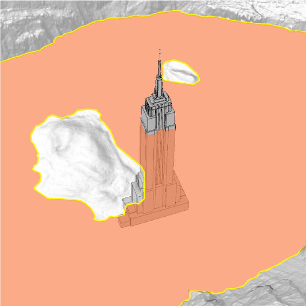
Little inset guy to show the eclipse extent in context
April 6, 2025 at 10:39 PM
Little inset guy to show the eclipse extent in context
Some recent maps built with @maplibre.org @protomaps.com


April 6, 2025 at 10:39 PM
Some recent maps built with @maplibre.org @protomaps.com
Choosing colours for cloud cover percentage wasn't easy, but happy with how this monochrome version turned out for the recent lunar eclipse – direct labels seemed to help www.nytimes.com/2025/03/13/s...


March 16, 2025 at 10:06 PM
Choosing colours for cloud cover percentage wasn't easy, but happy with how this monochrome version turned out for the recent lunar eclipse – direct labels seemed to help www.nytimes.com/2025/03/13/s...
February 1, 2025 at 9:45 PM
Bumped an old #turfjs project that draws extruded arcs to the @maplibre.org v5 globe: willymaps.github.io/arcs/arc.html

January 18, 2025 at 1:48 PM
Bumped an old #turfjs project that draws extruded arcs to the @maplibre.org v5 globe: willymaps.github.io/arcs/arc.html
December 3, 2024 at 2:09 PM
10. I didn’t share these slides after @nacis.bsky.social because I actually built the presentation on top of a blank basemap to highlight how performant these static files can be. Unfortunately presenting slides this way made them less accessible, which I regret
November 26, 2024 at 9:53 PM
10. I didn’t share these slides after @nacis.bsky.social because I actually built the presentation on top of a blank basemap to highlight how performant these static files can be. Unfortunately presenting slides this way made them less accessible, which I regret
9. @mapbox.com recently released new raster capabilities that have made rendering video files even more performant. Here’s a 24-hour loop of radar imagery that is simply the colour red, but represents the underlying data. It can now be styled in runtime with: docs.mapbox.com/style-spec/r...
November 26, 2024 at 9:53 PM
9. @mapbox.com recently released new raster capabilities that have made rendering video files even more performant. Here’s a 24-hour loop of radar imagery that is simply the colour red, but represents the underlying data. It can now be styled in runtime with: docs.mapbox.com/style-spec/r...
6. Automating the display of GOES or Himawari imagery for hurricane/typhoon stories was more performant with a single image vs. tiling:

November 26, 2024 at 9:53 PM
6. Automating the display of GOES or Himawari imagery for hurricane/typhoon stories was more performant with a single image vs. tiling: