


Vikash Kodati
@vikashkodati.bsky.social
Founder at Godel Space | Space Tech Innovator | Driving Real-Time Geospatial Insights | Angel Investor in Space and Emerging Tech
What hypothesis are you validating. curious
September 27, 2025 at 1:02 AM
What hypothesis are you validating. curious
and to contribute to the application of that knowledge for the development of human civilization that cares for all living beings and Earth."
March 14, 2025 at 3:48 PM
and to contribute to the application of that knowledge for the development of human civilization that cares for all living beings and Earth."
I also wanted to pass along the wisdom my mentor shared with me:
"The objective in life is not to obtain the highest power, money, fame or pleasure; instead it is to increase your understanding of life (physical, intellectual, emotional, social worlds)
"The objective in life is not to obtain the highest power, money, fame or pleasure; instead it is to increase your understanding of life (physical, intellectual, emotional, social worlds)
March 14, 2025 at 3:48 PM
I also wanted to pass along the wisdom my mentor shared with me:
"The objective in life is not to obtain the highest power, money, fame or pleasure; instead it is to increase your understanding of life (physical, intellectual, emotional, social worlds)
"The objective in life is not to obtain the highest power, money, fame or pleasure; instead it is to increase your understanding of life (physical, intellectual, emotional, social worlds)
I wanted to motivate the students to pursue entrepreneurship—this is one of the most opportunistic times to build something meaningful.
March 14, 2025 at 3:48 PM
I wanted to motivate the students to pursue entrepreneurship—this is one of the most opportunistic times to build something meaningful.
Fascinated by Gödel's work on incompleteness, I’ve learned that true understanding often lies beyond what can be proven — a principle that shapes how I approach problem-solving today.
March 14, 2025 at 3:47 PM
Fascinated by Gödel's work on incompleteness, I’ve learned that true understanding often lies beyond what can be proven — a principle that shapes how I approach problem-solving today.
My love for Space, Physics, and Math, combined with my background in software engineering and the rapid advancements in AI over the last two years, inspired me to incept Godel Space.
March 14, 2025 at 3:47 PM
My love for Space, Physics, and Math, combined with my background in software engineering and the rapid advancements in AI over the last two years, inspired me to incept Godel Space.
My journey started at IIT Guwahati, where I built a strong foundation in concepts and technology. After two decades in the industry, I gained valuable experience in software engineering, leadership and the nature of Life.
March 14, 2025 at 3:47 PM
My journey started at IIT Guwahati, where I built a strong foundation in concepts and technology. After two decades in the industry, I gained valuable experience in software engineering, leadership and the nature of Life.
Real-time deforestation tracking, ecosystem health predictions, and many other applications are already here.
What mission-critical challenges do you think geospatial AI should tackle next?
What mission-critical challenges do you think geospatial AI should tackle next?
February 4, 2025 at 8:00 PM
Real-time deforestation tracking, ecosystem health predictions, and many other applications are already here.
What mission-critical challenges do you think geospatial AI should tackle next?
What mission-critical challenges do you think geospatial AI should tackle next?
Masked Autoencoders: Fills in gaps, reconstructing scenes even when clouds block the view.
And here’s what they have started to do:
- Port Activity Monitoring
- Space Debris Monitoring
- Forest Fire Monitoring
- Pipeline & Energy Infrastructure Monitoring
- Conservatory & Water Resource Management
And here’s what they have started to do:
- Port Activity Monitoring
- Space Debris Monitoring
- Forest Fire Monitoring
- Pipeline & Energy Infrastructure Monitoring
- Conservatory & Water Resource Management
February 4, 2025 at 8:00 PM
Masked Autoencoders: Fills in gaps, reconstructing scenes even when clouds block the view.
And here’s what they have started to do:
- Port Activity Monitoring
- Space Debris Monitoring
- Forest Fire Monitoring
- Pipeline & Energy Infrastructure Monitoring
- Conservatory & Water Resource Management
And here’s what they have started to do:
- Port Activity Monitoring
- Space Debris Monitoring
- Forest Fire Monitoring
- Pipeline & Energy Infrastructure Monitoring
- Conservatory & Water Resource Management
Regression: Predicts measurements like forest biomass—helping monitor deforestation and carbon storage from space.
These models are also highly adaptive:
Dynamic Embedding: Seamlessly processes data from varied satellite systems with different formats and resolutions .
These models are also highly adaptive:
Dynamic Embedding: Seamlessly processes data from varied satellite systems with different formats and resolutions .
February 4, 2025 at 8:00 PM
Regression: Predicts measurements like forest biomass—helping monitor deforestation and carbon storage from space.
These models are also highly adaptive:
Dynamic Embedding: Seamlessly processes data from varied satellite systems with different formats and resolutions .
These models are also highly adaptive:
Dynamic Embedding: Seamlessly processes data from varied satellite systems with different formats and resolutions .
This leads to three key superpowers:
Classification: Automatically labels regions as forests, cities, or water bodies using labeled datasets.
Segmentation: Draws precise boundaries. No more blue blobs for oceans. Advanced models map coastlines and ecosystems with precision.
Classification: Automatically labels regions as forests, cities, or water bodies using labeled datasets.
Segmentation: Draws precise boundaries. No more blue blobs for oceans. Advanced models map coastlines and ecosystems with precision.
February 4, 2025 at 7:59 PM
This leads to three key superpowers:
Classification: Automatically labels regions as forests, cities, or water bodies using labeled datasets.
Segmentation: Draws precise boundaries. No more blue blobs for oceans. Advanced models map coastlines and ecosystems with precision.
Classification: Automatically labels regions as forests, cities, or water bodies using labeled datasets.
Segmentation: Draws precise boundaries. No more blue blobs for oceans. Advanced models map coastlines and ecosystems with precision.
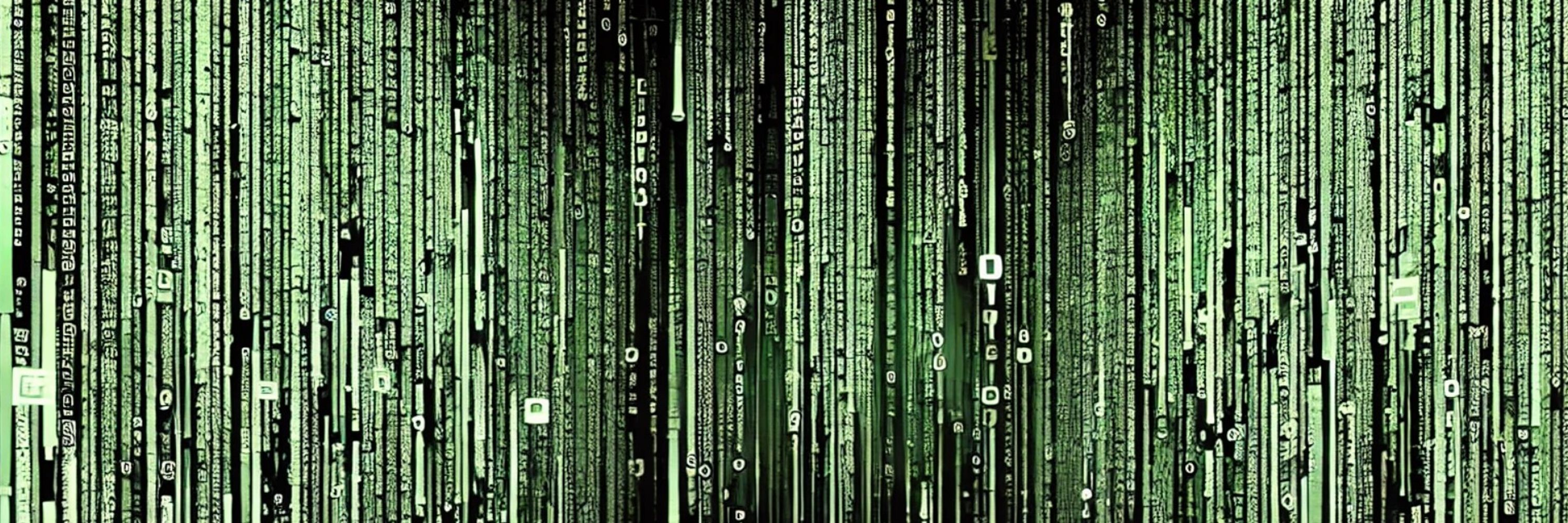
Transformers revolutionized image analysis with context awareness, driving breakthroughs in earth observation.
Instead of seeing satellite images as static pictures, advanced models break them down into puzzle-like patches. But they remember where each patch belongs and why it matters.
Instead of seeing satellite images as static pictures, advanced models break them down into puzzle-like patches. But they remember where each patch belongs and why it matters.
February 4, 2025 at 7:59 PM
Transformers revolutionized image analysis with context awareness, driving breakthroughs in earth observation.
Instead of seeing satellite images as static pictures, advanced models break them down into puzzle-like patches. But they remember where each patch belongs and why it matters.
Instead of seeing satellite images as static pictures, advanced models break them down into puzzle-like patches. But they remember where each patch belongs and why it matters.