Tom Stef 🇨🇦🇭🇷🇧🇧🌪️
banner
vaughanweather.bsky.social
Tom Stef 🇨🇦🇭🇷🇧🇧🌪️
@vaughanweather.bsky.social
Canadian storm chaser, President of Slate 10 Pictures Inc Exec Producer. Profile is a tornado I photographed in Hennessey, Oklahoma on May 19, 2010

http://www.vaughanweather.com
Hurricane Melissa looks like a solid 150 kt storm, the hunters ended their mission early and have reported severe turbulence likely from meso vorts within the storm.

#HurricaneMelissa #Melissa is an extremely dangerous #Category5 storm #AtlanticHurricaneSeason #TropicalCyclone
October 27, 2025 at 4:08 PM
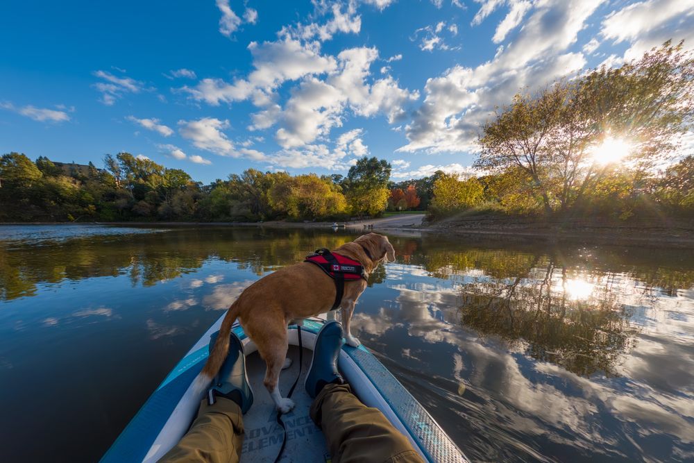
Nice evening kayak on the Humber River near Lake Ontario yesterday. The fall colours are really starting to come into the Toronto area now.

#Kayaking #Beagle #BiscuitTheBeagle #HumberRiver #FallColors #Toronto #DogsofBluesky #RiverAdventures #Paddling #Autumn
October 21, 2025 at 2:15 PM
Some very warm weather in Eastern Ontario and Southern Quebec with temps into the mid 20s. The edge of the unsettled weather is now nosing into the GTA with a squall riding the leading edge of the cold front. High winds and local isolated damage possible #ONstorm
October 19, 2025 at 7:10 PM
Happy #Thanksgiving!

Enjoying the #Woodbridge #Fair today 😀
October 13, 2025 at 9:36 PM
Frost risk for #Toronto proper and much of the #GTA again tonight. I’ve temporarily stuffed all the overwintering plants into the greenhouse. I’ll have to organize it in the coming days when I have some time. They should be able to go back outside tomorrow.

#ONweather #weather #frost #greenhouse
October 9, 2025 at 6:44 PM
Please note: During today's attack by the Russian Federation targeting targets located in Ukrainian territory, our airspace was repeatedly violated by drones. An operation is underway to identify and neutralize the targets. At the behest of the Operational Commander of the Armed Forces,
September 10, 2025 at 1:55 AM
Here are some photos I took of the #Toronto #CNE #Airshow #CIAS showing Mike and Samantha Tryggvason doing their Wingwalker thing. This was my favourite part of the show today.

Photos are with a Canon 5DSr and 800mm lens. 📷 🔭
September 1, 2025 at 10:25 PM
These kids were really into jumping off the rail bridge in Port Credit. What can I say, I'll never forgo a good show while kayaking.
August 23, 2025 at 7:31 PM
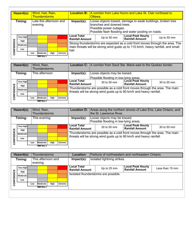
All that rain did wonders yesterday.

This is from Environment Canada:

#ONstorm #ONwx
August 20, 2025 at 7:26 PM
Rain and crepuscular rays... I'm so excited, it's like a tornado for me LOL
August 13, 2025 at 10:36 PM
August 13, 2025 at 10:19 PM
Rain two days in a row is godsend…

#ONstorm
August 13, 2025 at 10:09 PM
I was reading this book and I've found more similarities than differences...
August 11, 2025 at 4:02 PM
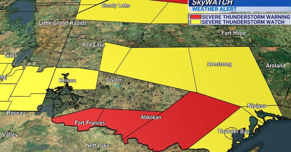
Oh this polygon is small compared to some of the warning polygons in northern and Northwestern Ontario that are HUGE.

The obvious problem is that you have one singular storm but you're putting a warning out for areas that could be almost one hundred km away.
July 27, 2025 at 12:32 AM
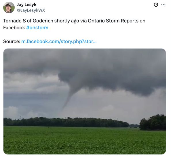
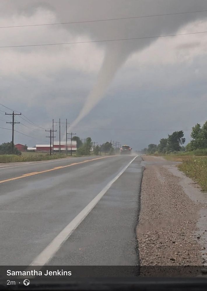
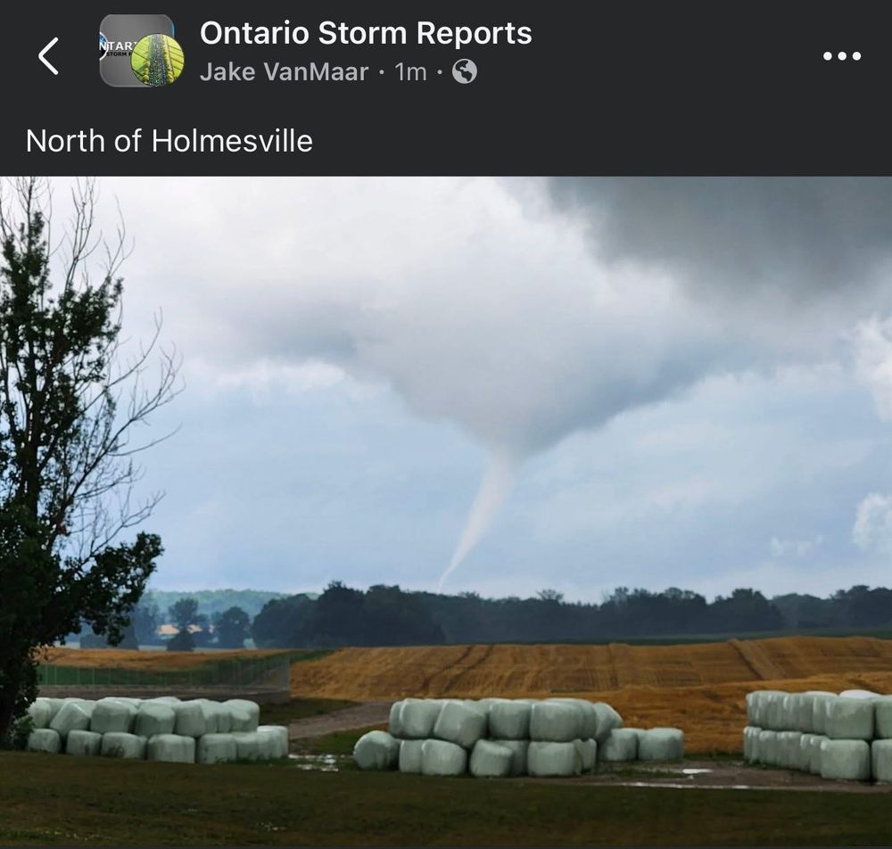
A few images from different social media platforms of the tornado near Goderich earlier this evening associated with a supercell as it came ashore.

#ONstorm #ONwx
July 27, 2025 at 12:10 AM
Milton storm is all but dead... just rainy mush at this point.

Still plenty of time for some hidden surprises but the overall risk is relatively low.

#ONstorm #ONWX
July 26, 2025 at 11:03 PM
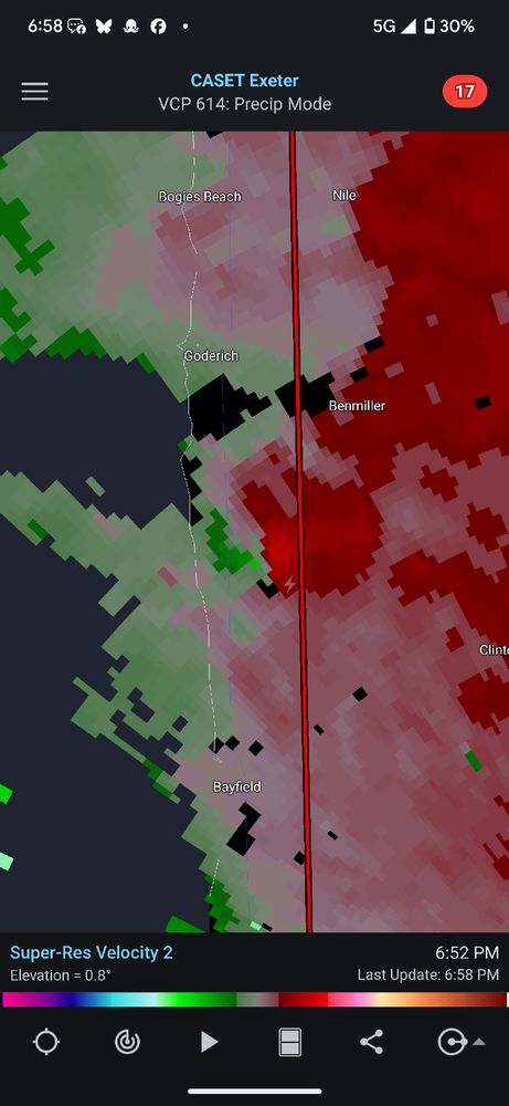
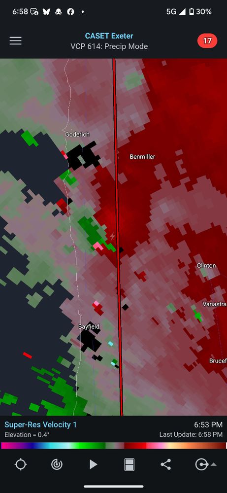
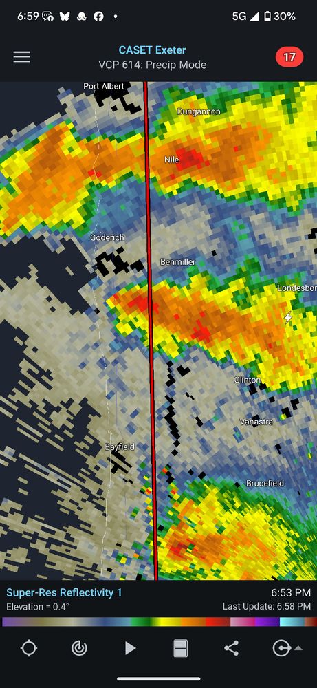
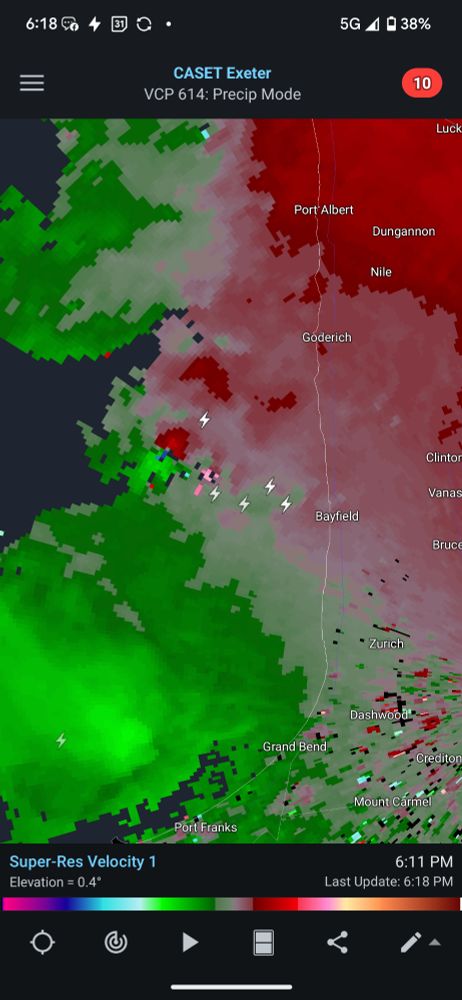
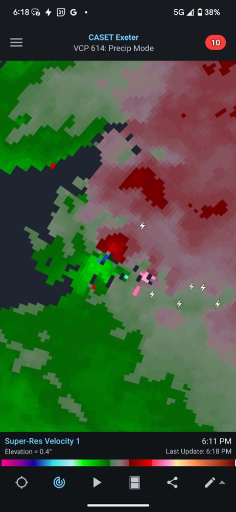
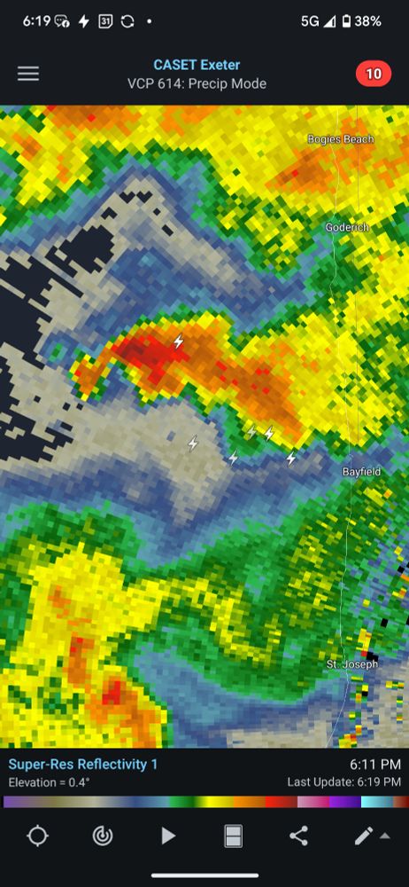
Hard to tell based on radar alone but the supercell between Bayfield and Goderich is certainly struggling now, rotation still present but radar shows a diminished (for the moment) threat.

#ONstorm #ONWX
July 26, 2025 at 11:00 PM
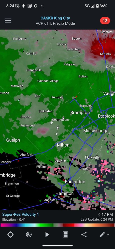
Rotation on the Bayfield storm waning, but the Milton storm looking more tight.

Might have to go for a drive shortly. At dinner with the wife at Beertown... LOL

#ONstorm #ONWX
July 26, 2025 at 10:45 PM
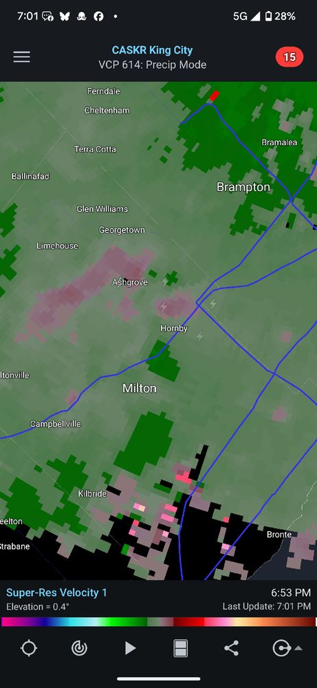
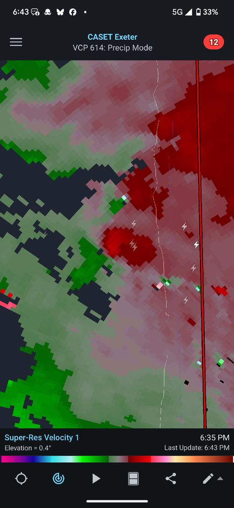
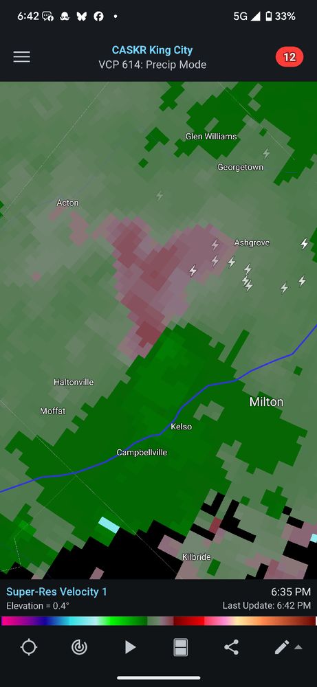
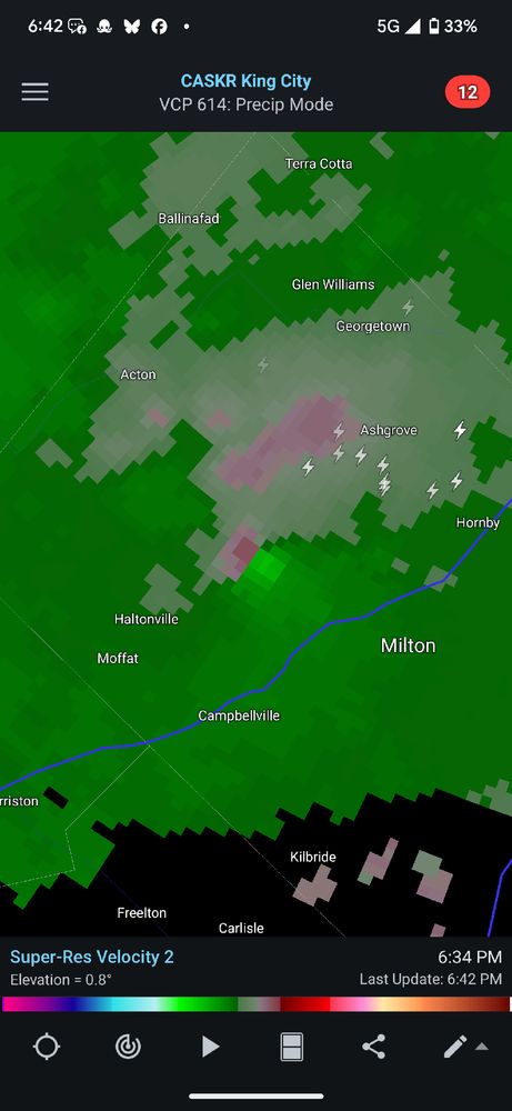
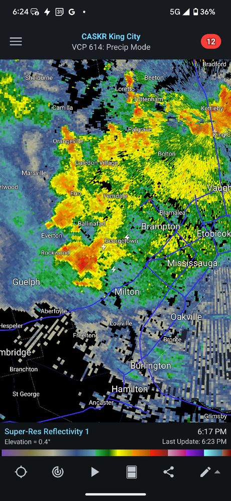
Another storm to keep an eye on that could potentially start wrapping up nd tightening is just north of Milton. No risk attm, but needs to be observed.

#ONstorm #ONWX
July 26, 2025 at 10:25 PM
Now that's a solid tornado vortex signature if I've ever seen one out over Lake Huron.

Like I said, warm front doing all the heavy lifting as far as wind shear is concerned.

#ONstorm #ONWX
July 26, 2025 at 10:20 PM
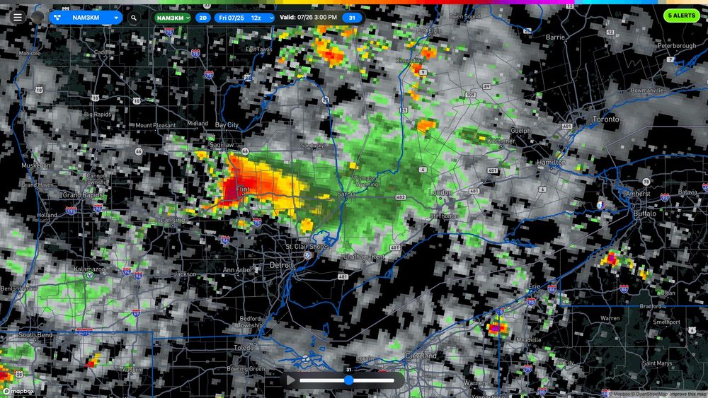
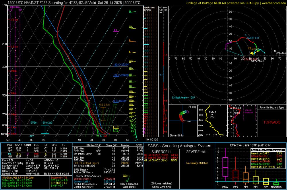
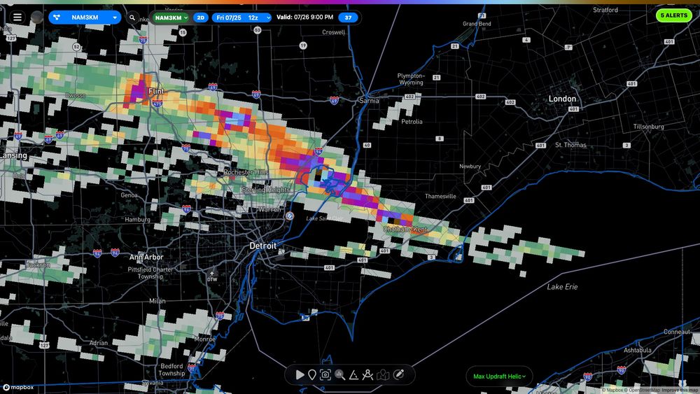
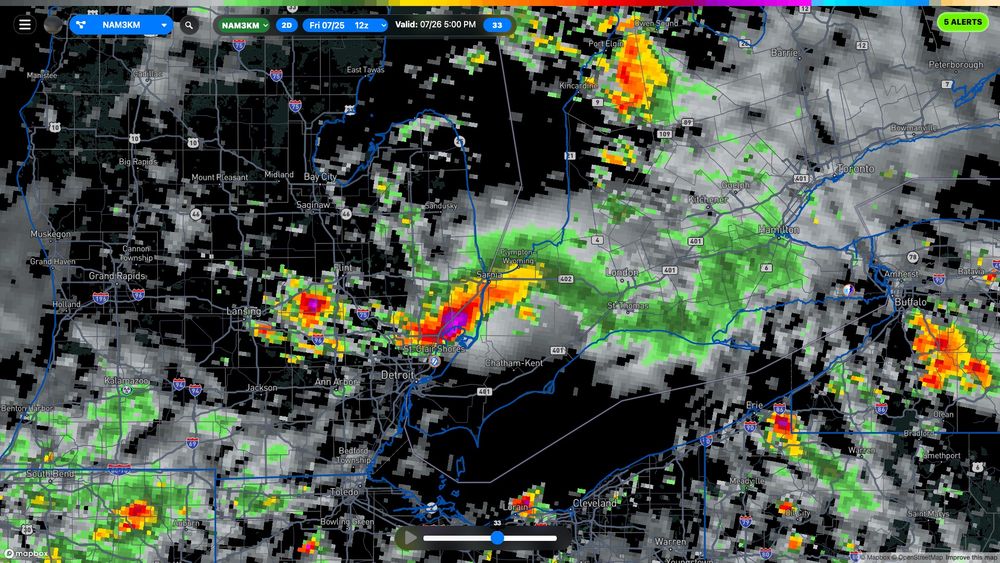
The 12Z WRF-NAM is painting a supercell on the warm front tomorrow afternoon running from Flint Michigan into Chatham-Kent Ontario.

What's more important is to understand that the environment along the warm front features good shear and winds veering to the ESE + jet support #ONstorm #ONWX
July 25, 2025 at 4:48 PM
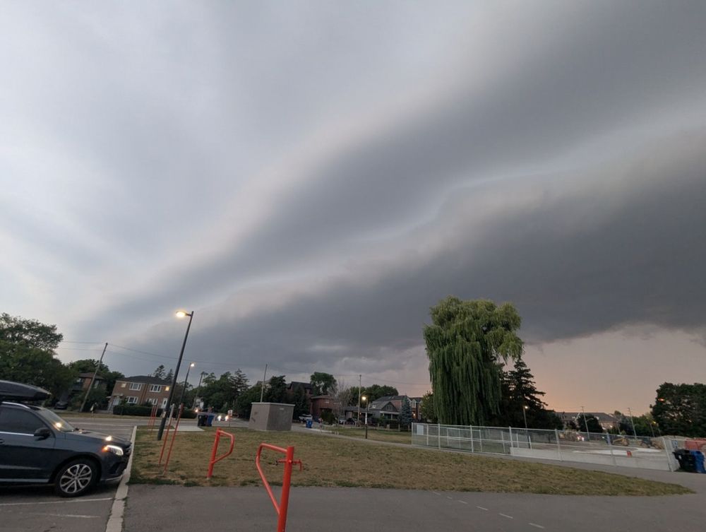
I was debating heading to SW Ontario yesterday. I decided against it due to overall timing. Had a weak shelf in the GTA but zero severe weather.
July 25, 2025 at 1:24 PM
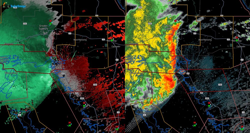
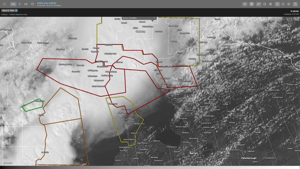
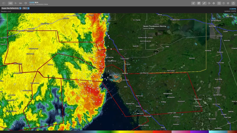
Tornado warnings ahead of the storm complex making landfall near Britt, ON. The rotation does not show up well in the base velocity product but shows up well in the storm relative velocity product.

#ONstorm #ONwx
July 24, 2025 at 7:39 PM
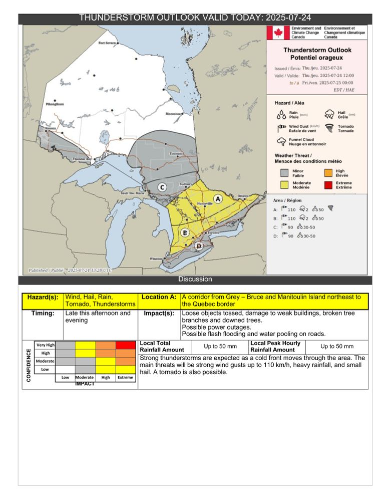
Risk of rain-wrapped fast moving tornadoes in cottage country today (and Algonquin Park), high winds and flooding rain in other areas. The biggest risk today appears to be wind damage. Those out camping need to stay especially weather aware. #ONstorm #ONwx
July 24, 2025 at 4:09 PM