


Vicent Agustí Ribas Costa
@varibasc.bsky.social
Enginyer de Forests (UPV - UPM)
Remote Sensing Forestry Researcher at @La_UPM thanks to a Doctoral INPhINIT Fellowship | PhD candidate | Remote Sensing & Silviculture expert at Terrapi World Ltd.
Also @NCstate @helsinkiuni
Remote Sensing Forestry Researcher at @La_UPM thanks to a Doctoral INPhINIT Fellowship | PhD candidate | Remote Sensing & Silviculture expert at Terrapi World Ltd.
Also @NCstate @helsinkiuni
Pinned

Modeling dominant height with USGS 3DEP LiDAR to determine site index in even-aged loblolly pine (Pinus taeda L.) plantations in the southeastern US
Abstract. Accurate quantification and mapping of forest productivity are critical to understanding and managing forest ecosystems. Local LiDAR or photogram
doi.org
PhD papers out for now:
Ribas-Costa, V. A., Gastón, A., Cook, L. (2024). Modeling dominant height with USGS 3DEP LiDAR to determine site index in even-aged loblolly pine (Pinus taeda L.) plantations in the southeastern US, Forestry: An Intl. J. of Forest Research: cpae034, doi.org/10.1093/fore...
Ribas-Costa, V. A., Gastón, A., Cook, L. (2024). Modeling dominant height with USGS 3DEP LiDAR to determine site index in even-aged loblolly pine (Pinus taeda L.) plantations in the southeastern US, Forestry: An Intl. J. of Forest Research: cpae034, doi.org/10.1093/fore...
¡Muy emocionado de poder decir que todas las publicaciones esperadas de mi tesis doctoral están ya online!
PhD papers out for now:
Ribas-Costa, V. A., Gastón, A., Cook, L. (2024). Modeling dominant height with USGS 3DEP LiDAR to determine site index in even-aged loblolly pine (Pinus taeda L.) plantations in the southeastern US, Forestry: An Intl. J. of Forest Research: cpae034, doi.org/10.1093/fore...
Ribas-Costa, V. A., Gastón, A., Cook, L. (2024). Modeling dominant height with USGS 3DEP LiDAR to determine site index in even-aged loblolly pine (Pinus taeda L.) plantations in the southeastern US, Forestry: An Intl. J. of Forest Research: cpae034, doi.org/10.1093/fore...
Modeling dominant height with USGS 3DEP LiDAR to determine site index in even-aged loblolly pine (Pinus taeda L.) plantations in the southeastern US
Abstract. Accurate quantification and mapping of forest productivity are critical to understanding and managing forest ecosystems. Local LiDAR or photogram
doi.org
June 15, 2025 at 3:25 PM
¡Muy emocionado de poder decir que todas las publicaciones esperadas de mi tesis doctoral están ya online!
PhD papers out for now:
Ribas-Costa, V. A., Gastón, A., Cook, L. (2024). Modeling dominant height with USGS 3DEP LiDAR to determine site index in even-aged loblolly pine (Pinus taeda L.) plantations in the southeastern US, Forestry: An Intl. J. of Forest Research: cpae034, doi.org/10.1093/fore...
Ribas-Costa, V. A., Gastón, A., Cook, L. (2024). Modeling dominant height with USGS 3DEP LiDAR to determine site index in even-aged loblolly pine (Pinus taeda L.) plantations in the southeastern US, Forestry: An Intl. J. of Forest Research: cpae034, doi.org/10.1093/fore...
Modeling dominant height with USGS 3DEP LiDAR to determine site index in even-aged loblolly pine (Pinus taeda L.) plantations in the southeastern US
Abstract. Accurate quantification and mapping of forest productivity are critical to understanding and managing forest ecosystems. Local LiDAR or photogram
doi.org
February 15, 2025 at 9:14 AM
PhD papers out for now:
Ribas-Costa, V. A., Gastón, A., Cook, L. (2024). Modeling dominant height with USGS 3DEP LiDAR to determine site index in even-aged loblolly pine (Pinus taeda L.) plantations in the southeastern US, Forestry: An Intl. J. of Forest Research: cpae034, doi.org/10.1093/fore...
Ribas-Costa, V. A., Gastón, A., Cook, L. (2024). Modeling dominant height with USGS 3DEP LiDAR to determine site index in even-aged loblolly pine (Pinus taeda L.) plantations in the southeastern US, Forestry: An Intl. J. of Forest Research: cpae034, doi.org/10.1093/fore...
Reposted by Vicent Agustí Ribas Costa
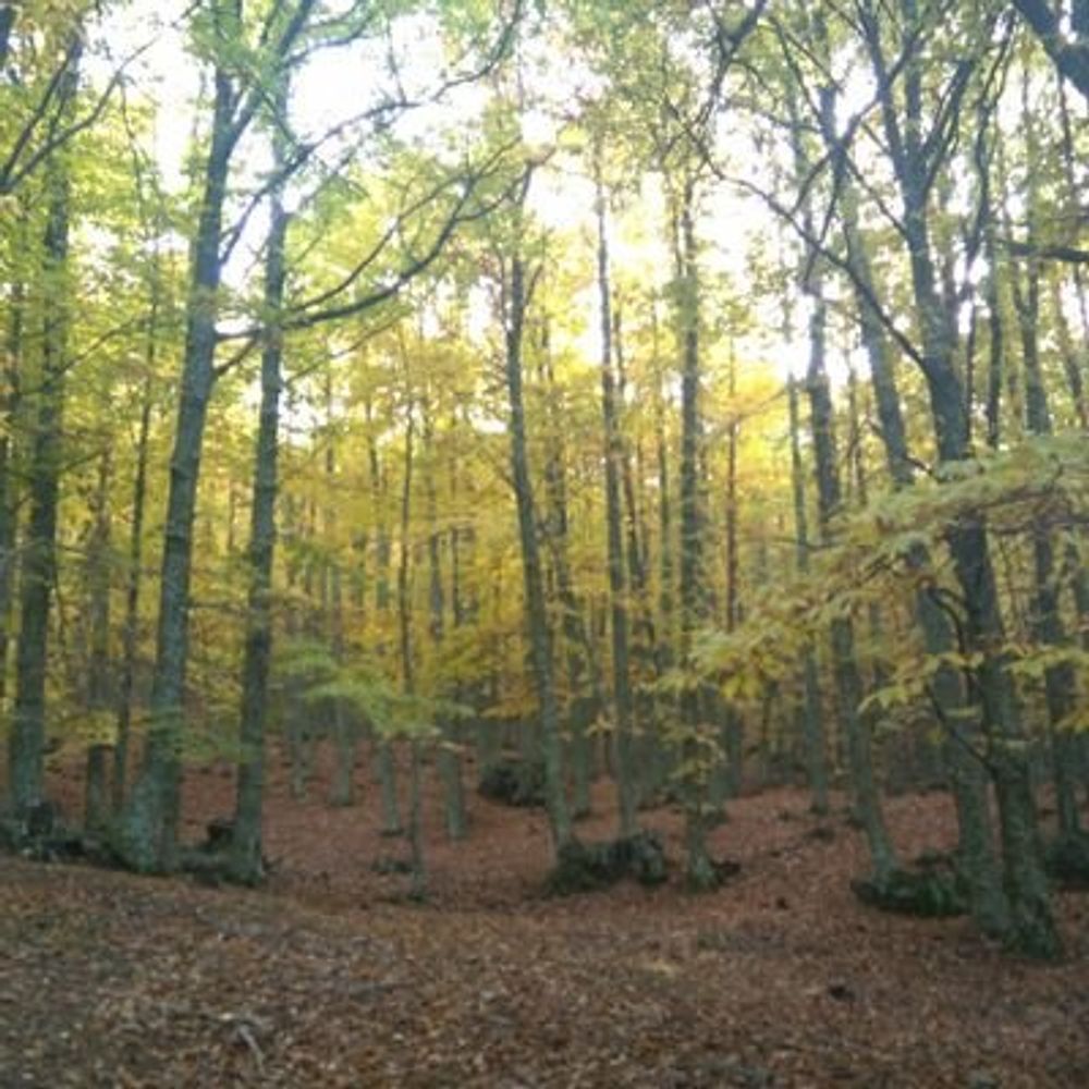
Nature vs. nurture: Drivers of site productivity in loblolly pine (Pinus taeda L.) forests in the southeastern US doi.org/10.1016/j.fo...
ars.els-cdn.com/content/imag...
ars.els-cdn.com/content/imag...

February 6, 2025 at 10:05 PM
Nature vs. nurture: Drivers of site productivity in loblolly pine (Pinus taeda L.) forests in the southeastern US doi.org/10.1016/j.fo...
ars.els-cdn.com/content/imag...
ars.els-cdn.com/content/imag...