Iowa State alum
Broncos fan
St. Louis Cardinals fan
Dating my best friend
Dad of one and 2x Cat Dad
Opinions are mine

Indications are for an intense line of storms to move through for tonight including 75-100 mph wind gusts.

Indications are for an intense line of storms to move through for tonight including 75-100 mph wind gusts.

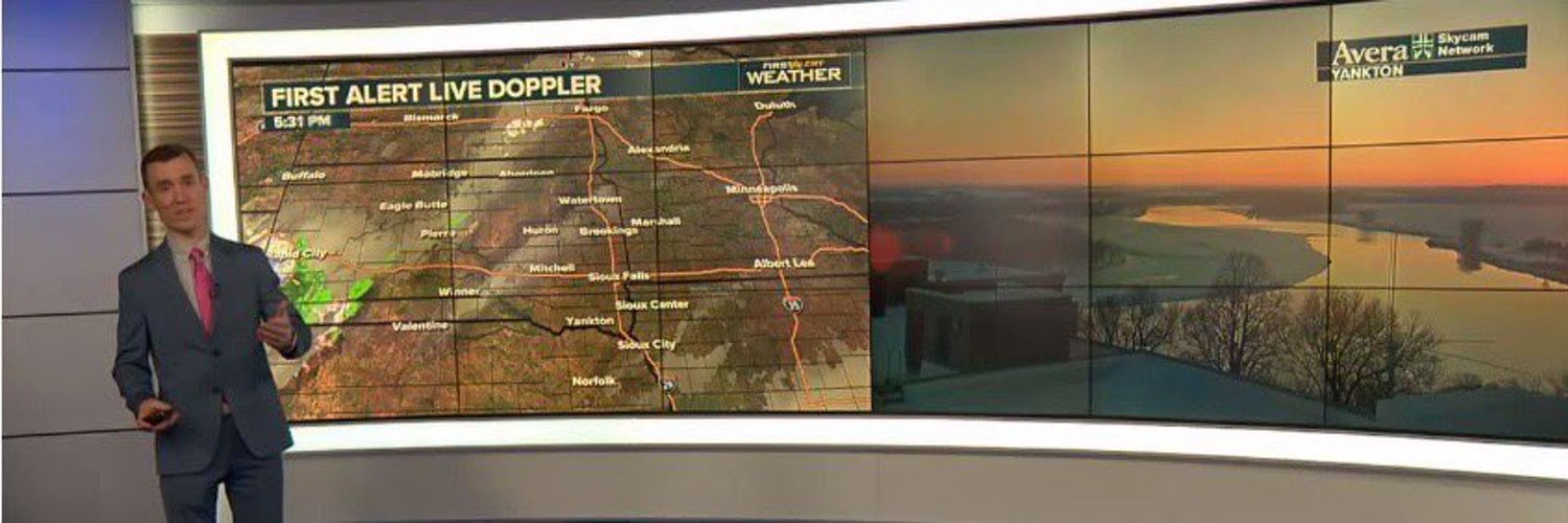
Storms are producing wind speeds of 80+ mph in parts of central South Dakota. Make sure to seek shelter if you’re in the path of these storms!
Storms are producing wind speeds of 80+ mph in parts of central South Dakota. Make sure to seek shelter if you’re in the path of these storms!
The risk for severe weather has increased including the possibility for tornadoes.
The best window for severe weather will be during the evening and early overnight hours.


The risk for severe weather has increased including the possibility for tornadoes.
The best window for severe weather will be during the evening and early overnight hours.
That impressive line of storms continues to move east. Embedded rotation remains likely which would result in a possible tornado.
That impressive line of storms continues to move east. Embedded rotation remains likely which would result in a possible tornado.
This is the surface smoke forecast and as you can see there is a plume that will continue to move into eastern South Dakota and much of Minnesota.
This is the surface smoke forecast and as you can see there is a plume that will continue to move into eastern South Dakota and much of Minnesota.
Tornadoes, large hail, and damaging wind gusts are all possible tonight… stay weather aware!

Tornadoes, large hail, and damaging wind gusts are all possible tonight… stay weather aware!
Storms will be moving into the region throughout the late afternoon and evening hours.
The main threats:
- Damaging wind gusts of 70+ mph
- Large hail (2 inches+ in diameter)
- Isolated tornadoes

Storms will be moving into the region throughout the late afternoon and evening hours.
The main threats:
- Damaging wind gusts of 70+ mph
- Large hail (2 inches+ in diameter)
- Isolated tornadoes
The risk for severe weather has expanded today across the area. A level 3 out of 5 risk for severe weather exists for much of eastern South Dakota.
- Large hail in excess of 2 inches in diameter
- Wind gusts over 70 mph
- A few tornadoes

The risk for severe weather has expanded today across the area. A level 3 out of 5 risk for severe weather exists for much of eastern South Dakota.
- Large hail in excess of 2 inches in diameter
- Wind gusts over 70 mph
- A few tornadoes
Weather observations from Philadelphia on July 4th, 1776!
Happy 4th of July!

Weather observations from Philadelphia on July 4th, 1776!
Happy 4th of July!

Make sure you take extra precautions today!

Make sure you take extra precautions today!

Keep an eye on the weather this afternoon into this evening where large hail and damaging wind gusts along with isolated tornadoes and flooding are all possible.

Keep an eye on the weather this afternoon into this evening where large hail and damaging wind gusts along with isolated tornadoes and flooding are all possible.


Funnel clouds will be possible this afternoon. This is what they will look like.

Funnel clouds will be possible this afternoon. This is what they will look like.


