


Rhodes Cartography
@thinkinginspace.bsky.social
Maps, mapping, geoviz. No politics.
Fellow @RGS_IBG
Board member @wmsmapsociety
Adjunct Professor @georgetownsfs
www.thinkinginspace.net
Simple Orthographic Map Creator with MetBrewer colors:
https://www.mapspam.net/MetOrtho.html
Fellow @RGS_IBG
Board member @wmsmapsociety
Adjunct Professor @georgetownsfs
www.thinkinginspace.net
Simple Orthographic Map Creator with MetBrewer colors:
https://www.mapspam.net/MetOrtho.html
On Monday afternoon (GMT) I will be giving a lecture at the Royal Geographic Society on Alexander Macomb Mason. Naval history, exploration in Africa, 19th-century century science, and lots of #maps... Register for in-person or online here:
www.rgs.org/events/upcom...
www.rgs.org/events/upcom...


November 8, 2025 at 11:34 AM
On Monday afternoon (GMT) I will be giving a lecture at the Royal Geographic Society on Alexander Macomb Mason. Naval history, exploration in Africa, 19th-century century science, and lots of #maps... Register for in-person or online here:
www.rgs.org/events/upcom...
www.rgs.org/events/upcom...
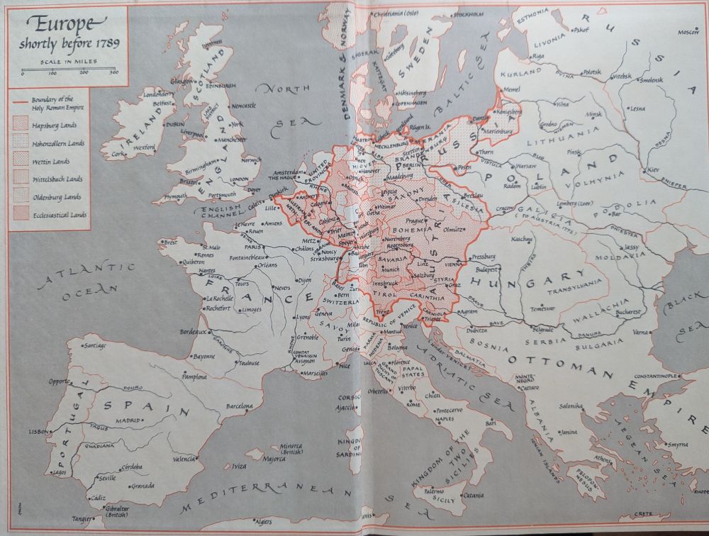
Who was "SHB" that made these maps for Churchill's books?


November 6, 2025 at 3:04 PM
Who was "SHB" that made these maps for Churchill's books?


So glad to receive my copy of Great Power Diplomacy. It was a worthy challenge to make maps for a range of case studies. I am especially grateful that Wess thought to include a "Note on the Maps": a rare chance to reflect on the interplay of maps and strategy.


October 22, 2025 at 8:43 PM
So glad to receive my copy of Great Power Diplomacy. It was a worthy challenge to make maps for a range of case studies. I am especially grateful that Wess thought to include a "Note on the Maps": a rare chance to reflect on the interplay of maps and strategy.


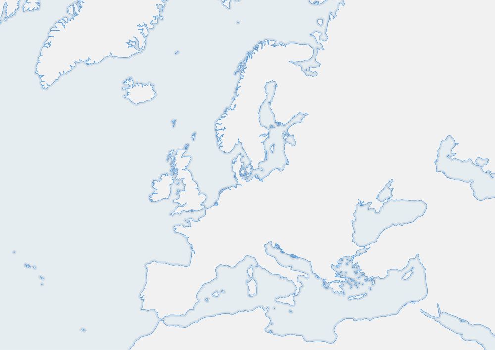
Been consumed with other things lately and not making enough maps. But had a fresh look at the Baltic and came up with this take with an old style. Labeling needs work, but feels more dynamic than the traditional view.

October 11, 2025 at 4:30 PM
Been consumed with other things lately and not making enough maps. But had a fresh look at the Baltic and came up with this take with an old style. Labeling needs work, but feels more dynamic than the traditional view.
Need a 16x9 map for your PPT? Want bluebook outline maps for a classroom? Are you really into equidistant projections? Do you like fun maps in strange orientations with bold colors?
Skip the image search and make the map that suits your own needs:
www.mapspam.net/OutlineMap.html
Skip the image search and make the map that suits your own needs:
www.mapspam.net/OutlineMap.html


September 7, 2025 at 9:40 AM
Need a 16x9 map for your PPT? Want bluebook outline maps for a classroom? Are you really into equidistant projections? Do you like fun maps in strange orientations with bold colors?
Skip the image search and make the map that suits your own needs:
www.mapspam.net/OutlineMap.html
Skip the image search and make the map that suits your own needs:
www.mapspam.net/OutlineMap.html


Having fun coding a new simple outline map generator.


September 5, 2025 at 3:42 PM
Having fun coding a new simple outline map generator.
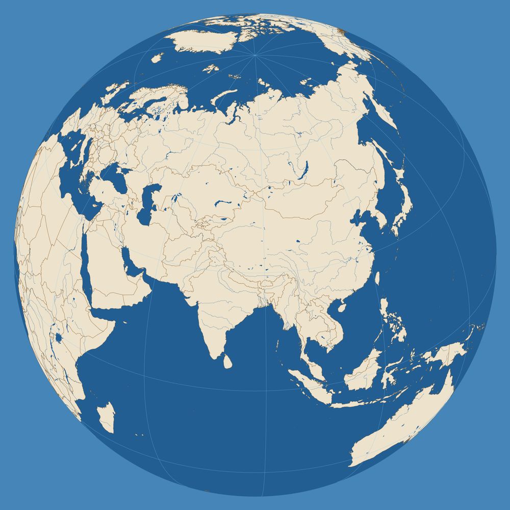
Two oblique Ortho views of the Caribbean.


September 1, 2025 at 11:10 AM
Two oblique Ortho views of the Caribbean.
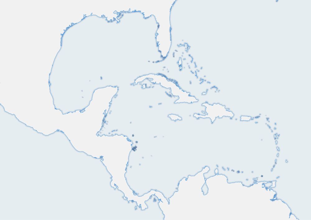
Bluebook map of the Caribbean

September 1, 2025 at 11:09 AM
Bluebook map of the Caribbean

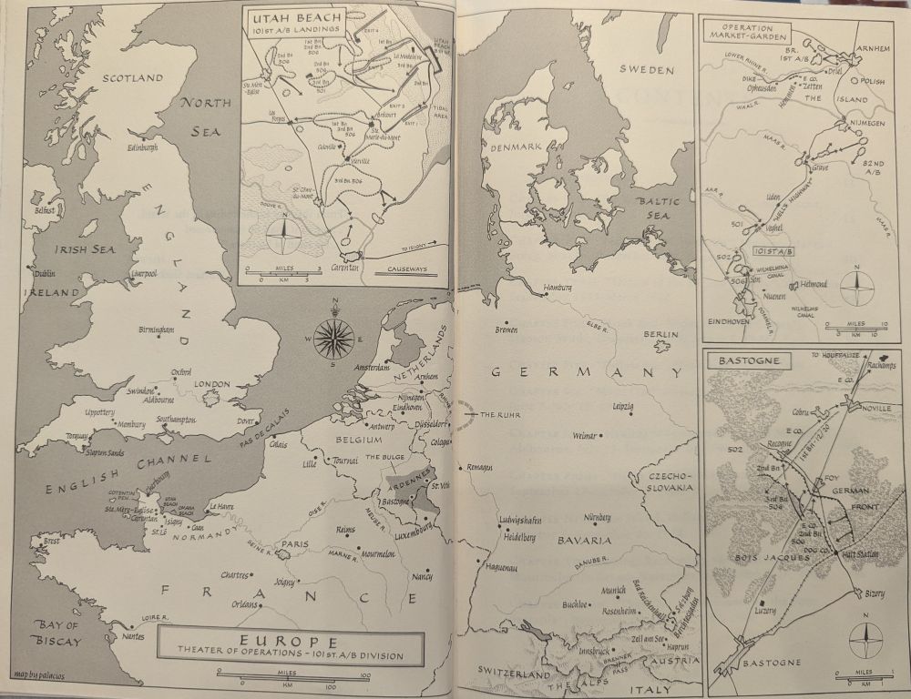
Two more Palacios maps, from Ed Jablonski, "Pictorial History of the WWII Years. Only two colors, saturations of black and blue-green. This is how you do macro and micro stories on a theater-wide scale.


August 30, 2025 at 1:57 PM
Two more Palacios maps, from Ed Jablonski, "Pictorial History of the WWII Years. Only two colors, saturations of black and blue-green. This is how you do macro and micro stories on a theater-wide scale.
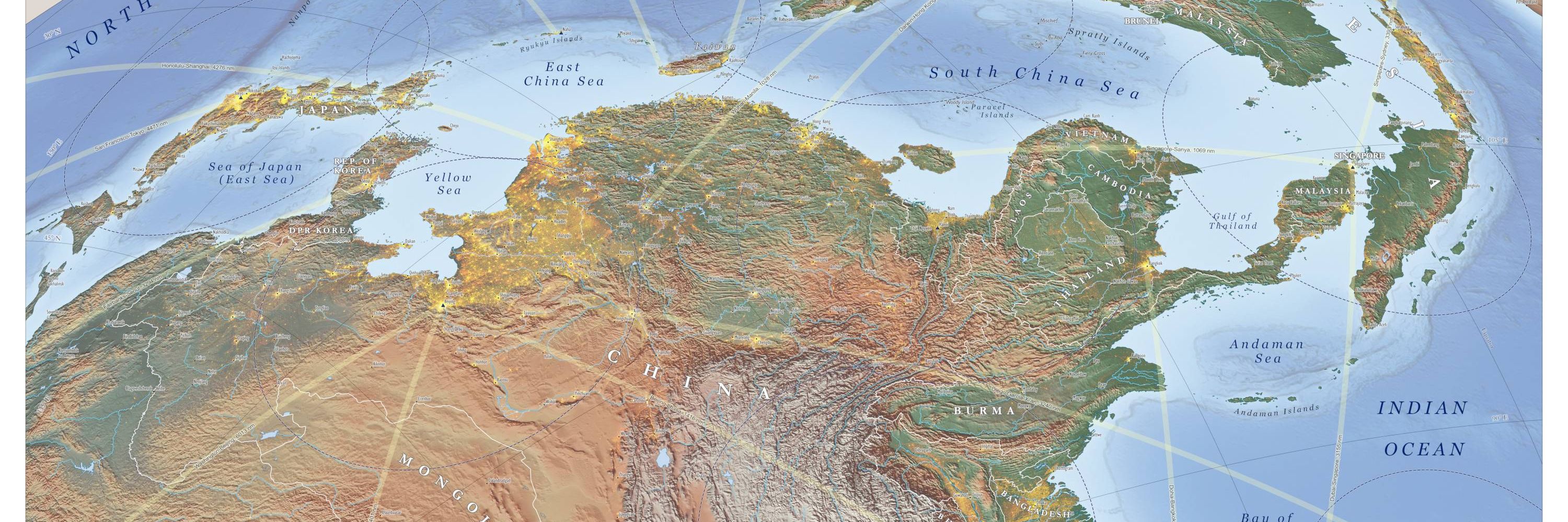
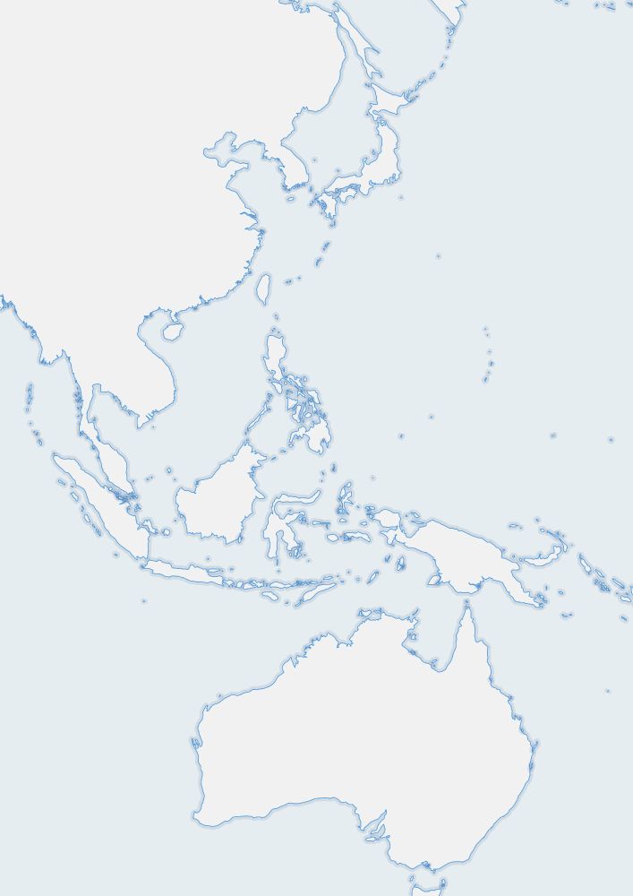
Give yourself a Saturday morning #geography lesson. Print this "Pakistan to Gibraltar" blank outline map and fill it in from memory. See if you notice anything new. "North up" is an arbitrary convention. Made with QGIS and naturalearthdata.com

August 30, 2025 at 1:56 PM
Give yourself a Saturday morning #geography lesson. Print this "Pakistan to Gibraltar" blank outline map and fill it in from memory. See if you notice anything new. "North up" is an arbitrary convention. Made with QGIS and naturalearthdata.com
Rafael Palacios made his name as mapmaker in the late 1940s with WWII maps for Eisenhower. In the early 1990s, just before he died, he made the maps for Stephen Ambrose's "Band of Brothers."
August 4, 2025 at 3:41 PM
Rafael Palacios made his name as mapmaker in the late 1940s with WWII maps for Eisenhower. In the early 1990s, just before he died, he made the maps for Stephen Ambrose's "Band of Brothers."
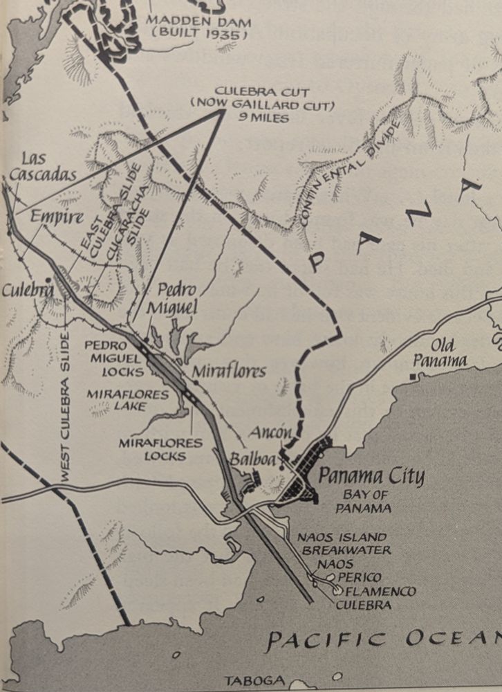
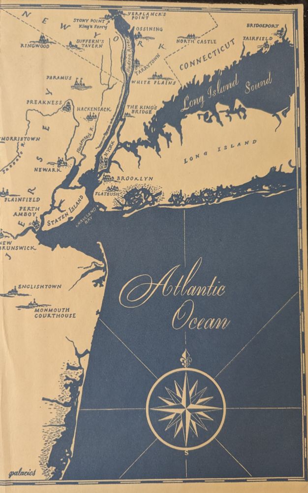
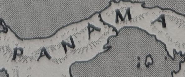
Look at how many different line weights there are in this corner of a Rafael Palacios map from David McCullough, The Path Between the Seas. All freehand.
July 18, 2025 at 9:28 PM
Look at how many different line weights there are in this corner of a Rafael Palacios map from David McCullough, The Path Between the Seas. All freehand.
A new mystery with some beautiful endpaper maps. Clean style and dynamic lettering, but signed by an artist I have never heard of. Jennyanne Wong.
July 1, 2025 at 12:15 PM
A new mystery with some beautiful endpaper maps. Clean style and dynamic lettering, but signed by an artist I have never heard of. Jennyanne Wong.
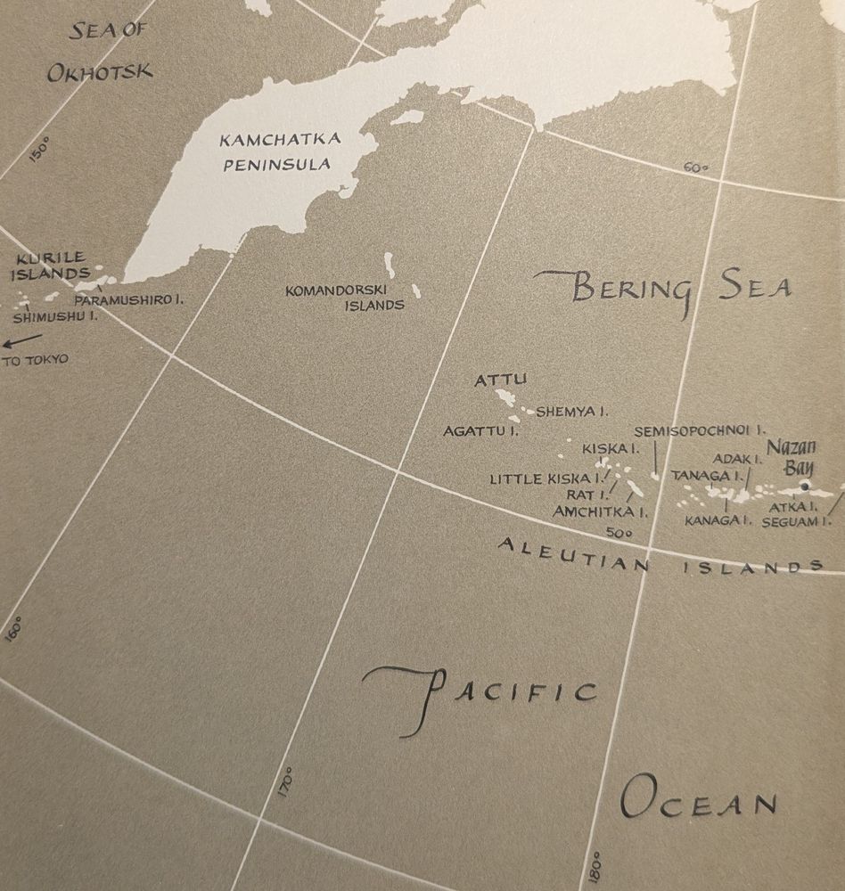
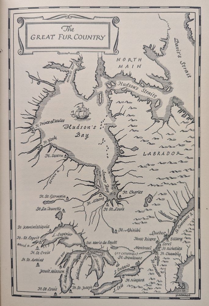
Stopped by a library and found some more Rafael Palacios maps. They are everywhere if you know where to look.
June 28, 2025 at 8:14 PM
Stopped by a library and found some more Rafael Palacios maps. They are everywhere if you know where to look.
And a few more

June 28, 2025 at 10:36 AM
And a few more
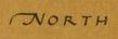
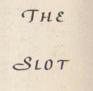
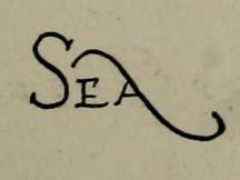
For your Saturday morning enjoyment, a selection of Rafael Palacios map labels and calligraphic letters.

June 28, 2025 at 10:36 AM
For your Saturday morning enjoyment, a selection of Rafael Palacios map labels and calligraphic letters.
Rafael Palacios map in the back endpapers of Eisenhower's 1965 book Waging Peace.
June 7, 2025 at 4:52 PM
Rafael Palacios map in the back endpapers of Eisenhower's 1965 book Waging Peace.
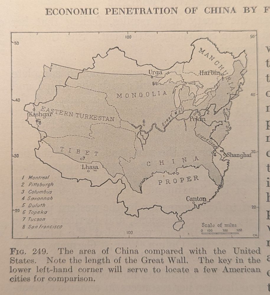
Classic US-China comparison graphic, remade in several different places. This one from 1922 edition of The New World by Isaiah Bowman.
May 31, 2025 at 12:49 PM
Classic US-China comparison graphic, remade in several different places. This one from 1922 edition of The New World by Isaiah Bowman.
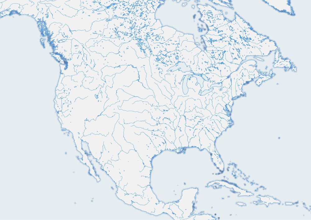
Getting back into a blank/outline map mood. Working on a style that emulates "blue book" geography workbooks that are designed for students to mark up and label.
May 29, 2025 at 6:26 PM
Getting back into a blank/outline map mood. Working on a style that emulates "blue book" geography workbooks that are designed for students to mark up and label.