


Theron Finley
@theronfinley.bsky.social
PhD in Earth Sciences at UVic SEOS 🍁 | Active tectonics, structural geology, remote sensing, geothermal energy | he/him 🏳️🌈
Thanks Britta! I’m headed up in two weeks and also can’t wait. The Yukon is truly the best!
July 18, 2025 at 4:10 AM
Thanks Britta! I’m headed up in two weeks and also can’t wait. The Yukon is truly the best!
Glad you find it helpful, Jeff! Lots more work to do, now that we know this hazard exists.
July 17, 2025 at 7:15 PM
Glad you find it helpful, Jeff! Lots more work to do, now that we know this hazard exists.
Indeed! I'm always amazed at the prescience of previous researchers, and it's great to be able to prove some of these hypotheses now that we have better data (ArcticDEM and lidar). Mortensen and Von Gaza speculated about these lineaments back in 1992(!) in an somewhat obscure YGS report!
July 17, 2025 at 7:12 PM
Indeed! I'm always amazed at the prescience of previous researchers, and it's great to be able to prove some of these hypotheses now that we have better data (ArcticDEM and lidar). Mortensen and Von Gaza speculated about these lineaments back in 1992(!) in an somewhat obscure YGS report!
Certainly! The main point we were making here is that old, mature faults like this that were likely much more active in the past, and played a major role in the development of the Cordillera, still persist as crustal weaknesses and seismic hazards.
July 17, 2025 at 6:02 PM
Certainly! The main point we were making here is that old, mature faults like this that were likely much more active in the past, and played a major role in the development of the Cordillera, still persist as crustal weaknesses and seismic hazards.
Yes, the majority of the Canadian landmass, including BC, was covered by ice during the last glaciation. The southern ice limit was in the northernmost United States. Only northwest Yukon (and broader region extending across northern Alaska) remained ice free.
July 17, 2025 at 5:34 PM
Yes, the majority of the Canadian landmass, including BC, was covered by ice during the last glaciation. The southern ice limit was in the northernmost United States. Only northwest Yukon (and broader region extending across northern Alaska) remained ice free.
Also, in the rest of Canada where the landscape is much younger, evidence of this sort of fault activity would be largely erased, highlighting a preservation problem in the paleoseismic record.
July 17, 2025 at 5:10 PM
Also, in the rest of Canada where the landscape is much younger, evidence of this sort of fault activity would be largely erased, highlighting a preservation problem in the paleoseismic record.
More broadly these results highlight the seismic hazard of mature, low‐slip‐rate intraplate faults in orogenic belts, which may have very long recurrence intervals and elude detection via instrumental networks.
July 17, 2025 at 5:10 PM
More broadly these results highlight the seismic hazard of mature, low‐slip‐rate intraplate faults in orogenic belts, which may have very long recurrence intervals and elude detection via instrumental networks.
For example, this figure from Bodtker et al (2022) shows the position of the Moosehide and Sunnydale landslides above Dawson City.

July 17, 2025 at 5:10 PM
For example, this figure from Bodtker et al (2022) shows the position of the Moosehide and Sunnydale landslides above Dawson City.
A large rupture on the Tintina fault would cause significant shaking in the Klondike region, potentially damaging buildings, highways, and mining infrastructure. Compounding the hazard from seismic shaking, the region is prone to landslides, which could be seismically triggered.
July 17, 2025 at 5:10 PM
A large rupture on the Tintina fault would cause significant shaking in the Klondike region, potentially damaging buildings, highways, and mining infrastructure. Compounding the hazard from seismic shaking, the region is prone to landslides, which could be seismically triggered.
Notably, 12,000 year old landforms are not offset across the fault, which implies that it may be at a relatively late stage of an interseismic period, having accrued a slip deficit of ~6 m. From this, we estimate that ruptures of at least magnitude 7.5 are possible in the future.
July 17, 2025 at 5:10 PM
Notably, 12,000 year old landforms are not offset across the fault, which implies that it may be at a relatively late stage of an interseismic period, having accrued a slip deficit of ~6 m. From this, we estimate that ruptures of at least magnitude 7.5 are possible in the future.
This figure from the paper shows 2.6 million year old glacial moraines offset across the fault, and a remarkable series of gravel mounds up to 35 m in height, that we interpret as push-up structures, developed over numerous seismic cycles.

July 17, 2025 at 5:10 PM
This figure from the paper shows 2.6 million year old glacial moraines offset across the fault, and a remarkable series of gravel mounds up to 35 m in height, that we interpret as push-up structures, developed over numerous seismic cycles.
What we see in the ArcticDEM data is 2.6 million year old glacial deposits offset right-laterally by ~1000 m, and 132,000 year old glacial deposits offset by ~75 m. These offsets imply numerous large earthquakes over the Quaternary period, and a slip rate of around 0.5 mm/yr.
July 17, 2025 at 5:10 PM
What we see in the ArcticDEM data is 2.6 million year old glacial deposits offset right-laterally by ~1000 m, and 132,000 year old glacial deposits offset by ~75 m. These offsets imply numerous large earthquakes over the Quaternary period, and a slip rate of around 0.5 mm/yr.
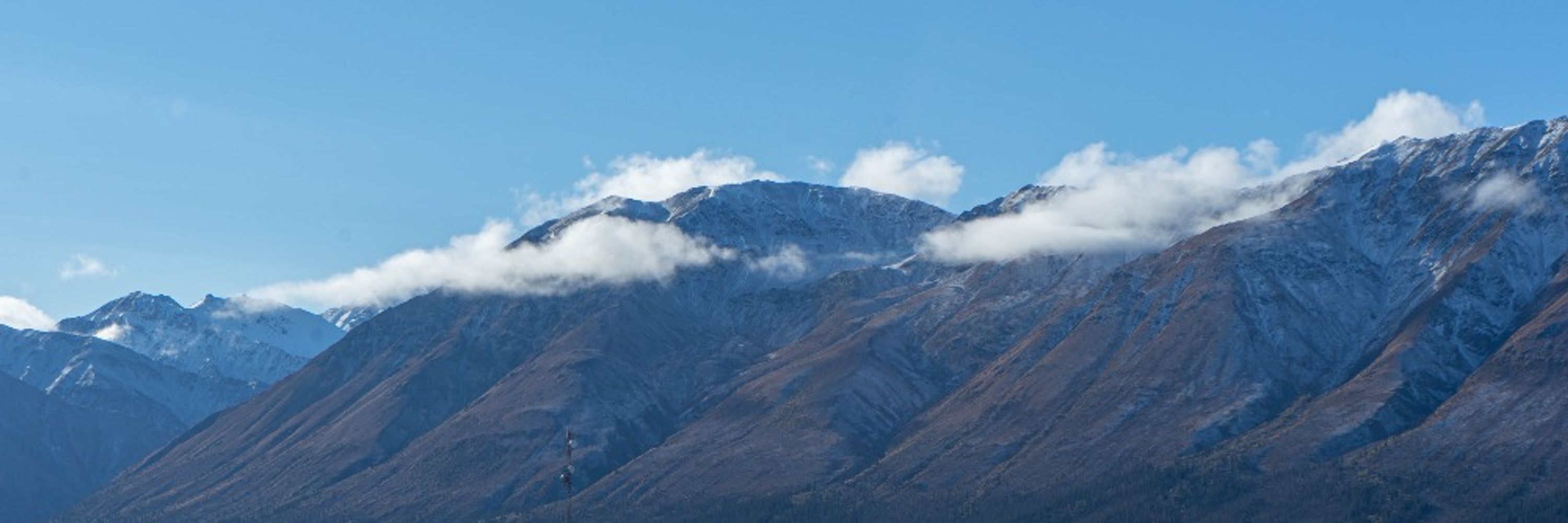
A really neat thing about the landscape in northern Yukon is that it was not ice covered during the most recent glaciation (24-12 ka), but ice was more extensive in two previous glaciations. The older landscape preserves a much longer tectono-geomorphic record than elsewhere in Canada.
July 17, 2025 at 5:10 PM
A really neat thing about the landscape in northern Yukon is that it was not ice covered during the most recent glaciation (24-12 ka), but ice was more extensive in two previous glaciations. The older landscape preserves a much longer tectono-geomorphic record than elsewhere in Canada.
But, using the amazing ArcticDEM topographic dataset and drone-based lidar, we were able to map a ~130 km-long series of fault scarps near Dawson City, Yukon.

July 17, 2025 at 5:10 PM
But, using the amazing ArcticDEM topographic dataset and drone-based lidar, we were able to map a ~130 km-long series of fault scarps near Dawson City, Yukon.
Wow, thanks Julie! @thatfaultguy.bsky.social deserves the largest credit for the drone lidar paper. We are glad to hear it is useful! Paper on the Tintina fault (with more drone lidar) is forthcoming!
December 3, 2024 at 4:02 AM
Wow, thanks Julie! @thatfaultguy.bsky.social deserves the largest credit for the drone lidar paper. We are glad to hear it is useful! Paper on the Tintina fault (with more drone lidar) is forthcoming!
Thanks for the shout-out @seos-uvic.bsky.social! As far as I know, I don't have a publication in Nature Geoscience, but now I have goal to work towards :)
December 3, 2024 at 3:58 AM
Thanks for the shout-out @seos-uvic.bsky.social! As far as I know, I don't have a publication in Nature Geoscience, but now I have goal to work towards :)