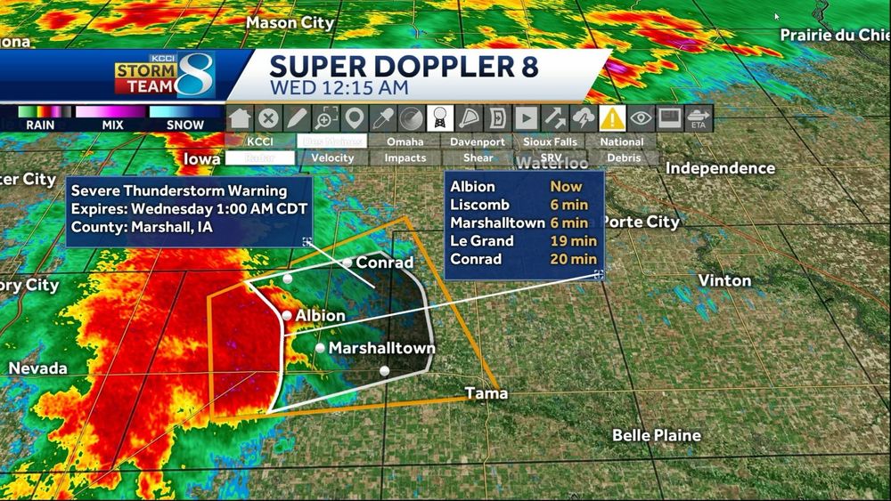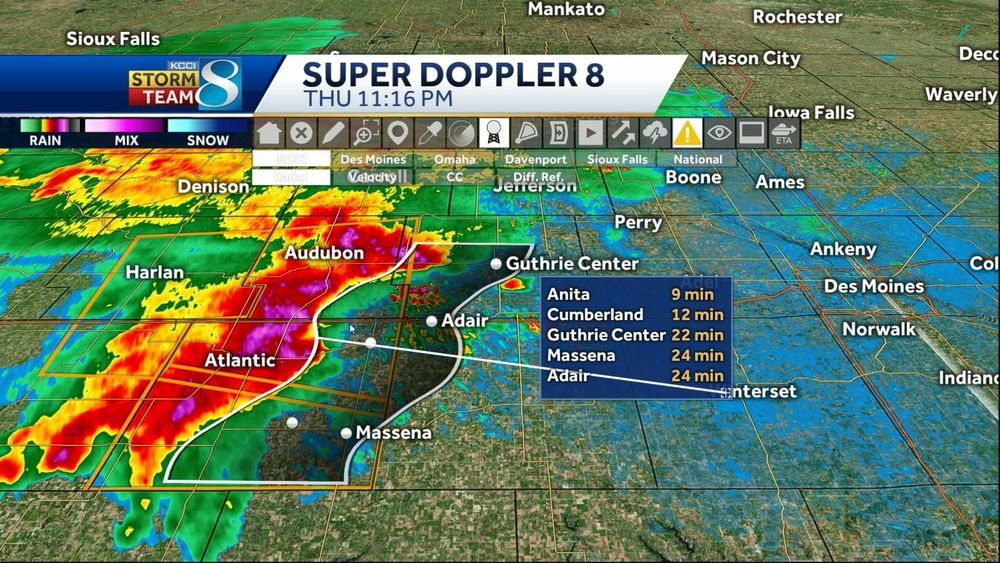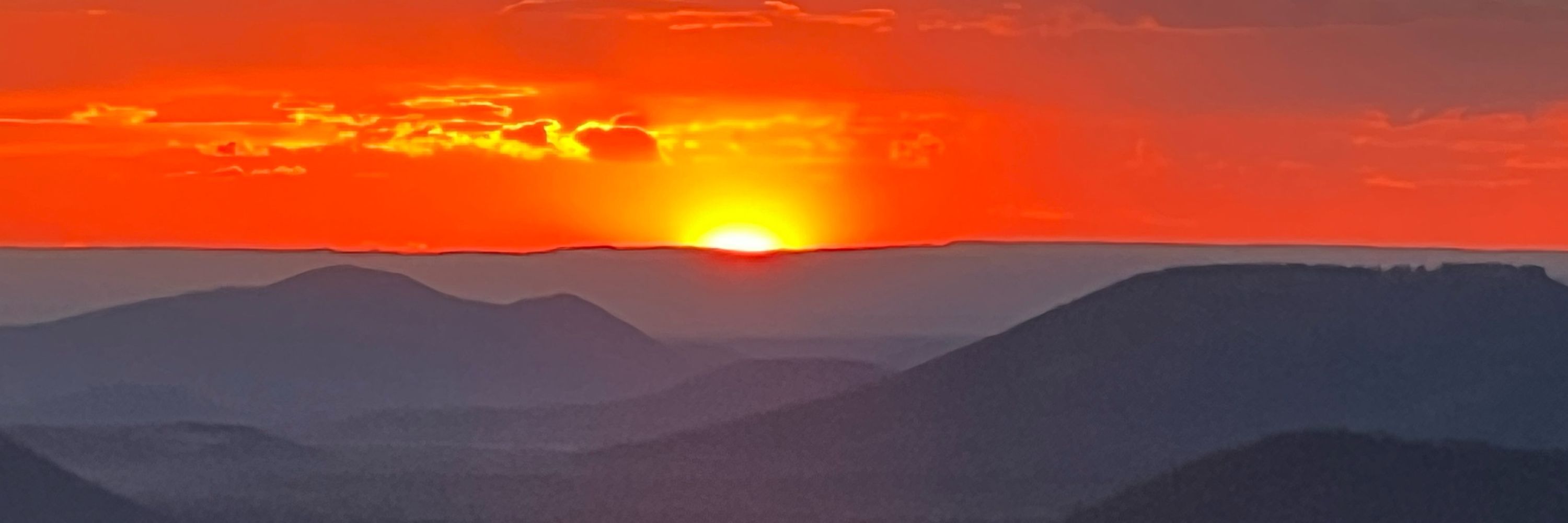
#iowa #iawx #desmoines

#iowa #iawx #desmoines
#iowa #desmoines

#iowa #desmoines
#iowa #iawx #desmoines #daylight

#iowa #iawx #desmoines #daylight
#iowa #iawx #funnel #desmoines


#iowa #iawx #funnel #desmoines
Video credit Austin Davis, Gowrie, IA
#iowa #iawx #dustdevil #desmoines
Video credit Austin Davis, Gowrie, IA
#iowa #iawx #dustdevil #desmoines
Credit: Kayla Bergman
#iowa #iawx #funnel #storms #desmoines
Credit: Kayla Bergman
#iowa #iawx #funnel #storms #desmoines
#iowa #iawx #desmoines #funnelcloud #weather
#iowa #iawx #desmoines #funnelcloud #weather
Credit: Callie Clow Mehrhoff
#iowa #iawx #desmoines #winterscoming
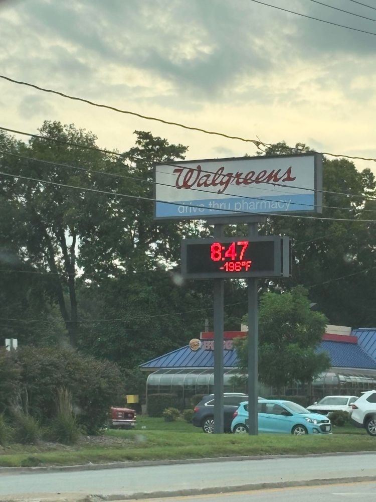
Credit: Callie Clow Mehrhoff
#iowa #iawx #desmoines #winterscoming
#iowa #iawx #desmoines #severe #storms
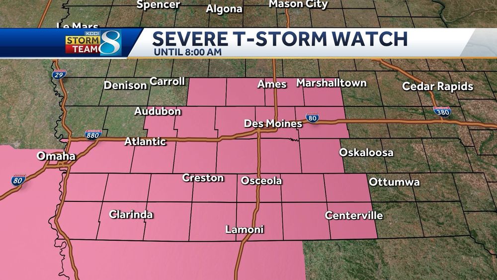
#iowa #iawx #desmoines #severe #storms
HAZARD...60 mph wind gusts
#iowa #iawx #severe #severestorms #desmoines
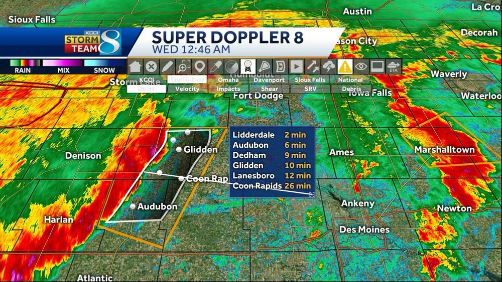
HAZARD...60 mph wind gusts
#iowa #iawx #severe #severestorms #desmoines
Primary threats include...
Scattered damaging wind gusts to 70 mph likely
Isolated large hail events to 1 inch in diameter possible
#iowa #iawx #desmoines #severe #storms
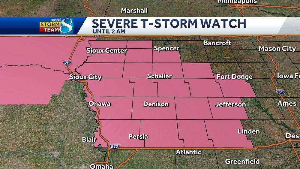
Primary threats include...
Scattered damaging wind gusts to 70 mph likely
Isolated large hail events to 1 inch in diameter possible
#iowa #iawx #desmoines #severe #storms
Primary threats include...
- Widespread damaging winds and isolated significant gusts to 85 mph likely
- Isolated large hail events to 1.5 inches in diameter possible
- A tornado or two possible
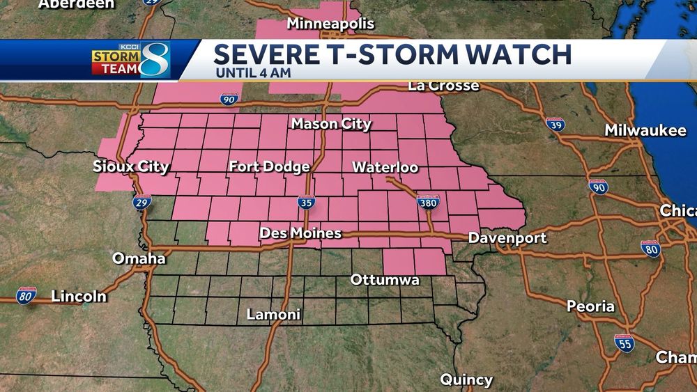
#iowa #iawx #desmoines #severe #storms
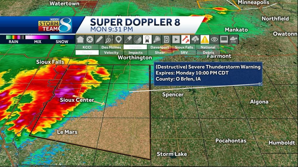
#iowa #iawx #desmoines #severe #storms
Credit: Eric Kline
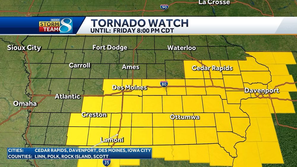
#iowa #iawx #desmoines #severe #tornado #tornadowatch
Credit: Eric Kline
#iowa #iawx #desmoines #severe #tornado #tornadowatch
A Severe Thunderstorm Watch is in place as well until 9pm
#iowa #iawx #severe #desmoines #storms #tornadowatch #tornado
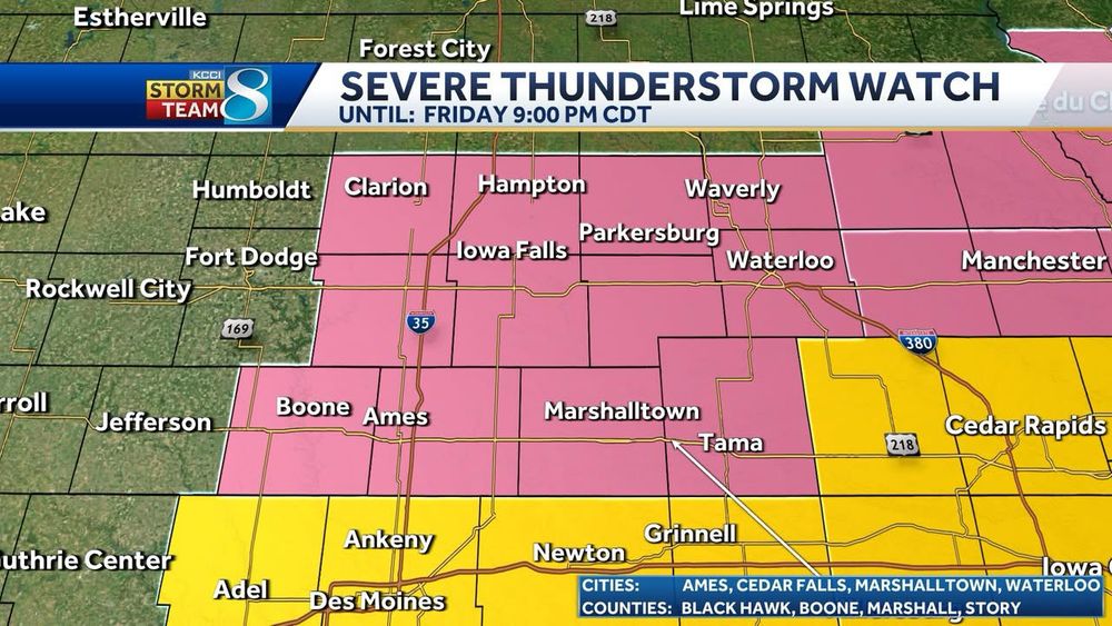
A Severe Thunderstorm Watch is in place as well until 9pm
#iowa #iawx #severe #desmoines #storms #tornadowatch #tornado
#iowa #iawx #desmoines #severe #storms
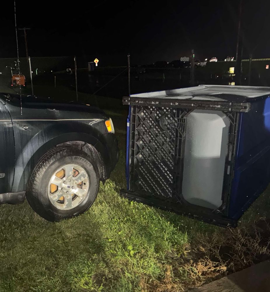
#iowa #iawx #desmoines #severe #storms
Damaging winds and heavy rain remain the primary threats, though a brief tornado cannot be ruled out
#iowa #iawx #desmoines #storms #severe
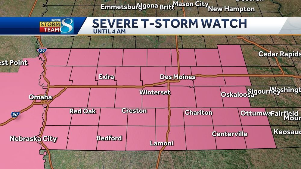
Damaging winds and heavy rain remain the primary threats, though a brief tornado cannot be ruled out
#iowa #iawx #desmoines #storms #severe
Elk Horn, Exira, Atlantic, Audubon.... get ready for potentially damaging winds
#iawx #iowa #desmoines #severe #storms
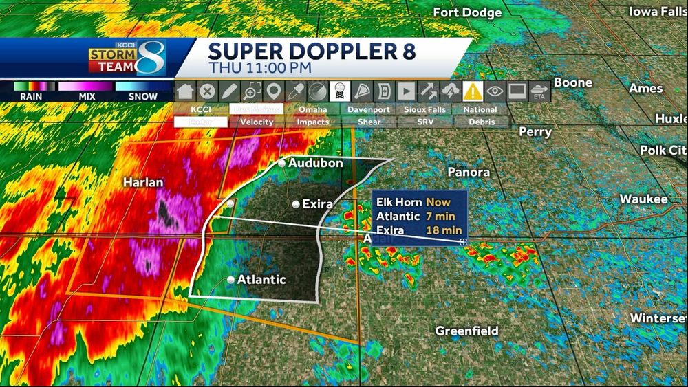
Elk Horn, Exira, Atlantic, Audubon.... get ready for potentially damaging winds
#iawx #iowa #desmoines #severe #storms
Pottawattamie, Southeastern Harrison, Shelby counties until 11:30pm
HAZARD...60 mph wind gusts
Moving east at 30mph
#iawx #iowa #desmoines #storms #severe
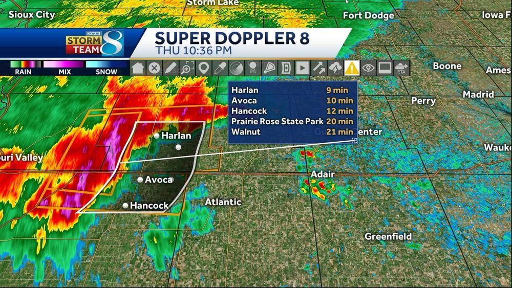
Pottawattamie, Southeastern Harrison, Shelby counties until 11:30pm
HAZARD...60 mph wind gusts
Moving east at 30mph
#iawx #iowa #desmoines #storms #severe
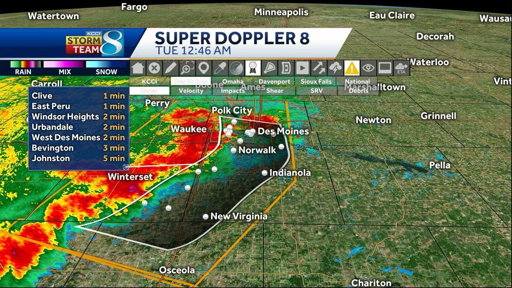
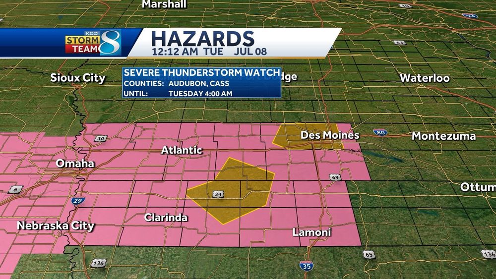
At 1254 AM, severe storms were located along a line extending from Murray to Sun Valley Lake to near Irena, moving SE at 30 mph
HAZARD...60 mph wind gusts
#iowa #iawx #severe #desmoines
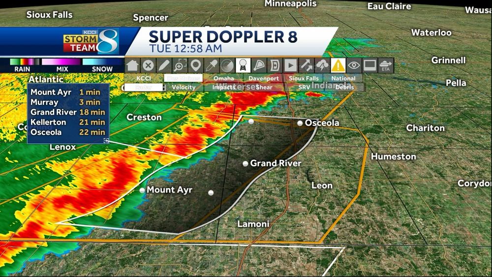
At 1254 AM, severe storms were located along a line extending from Murray to Sun Valley Lake to near Irena, moving SE at 30 mph
HAZARD...60 mph wind gusts
#iowa #iawx #severe #desmoines
#iowa #iawx #severe #DesMoines
#iowa #iawx #severe #DesMoines
#iowa #iawx #desmoines #severe
#iowa #iawx #desmoines #severe


