


StreamwiseV0rt
@str3amwisev0rt.bsky.social
Unrelenting passion for rotating water vapor 🌪️
Storm Chaser - Meteorology Major - Ally 🏳️⚧️🏳️🌈
Storm Chaser - Meteorology Major - Ally 🏳️⚧️🏳️🌈
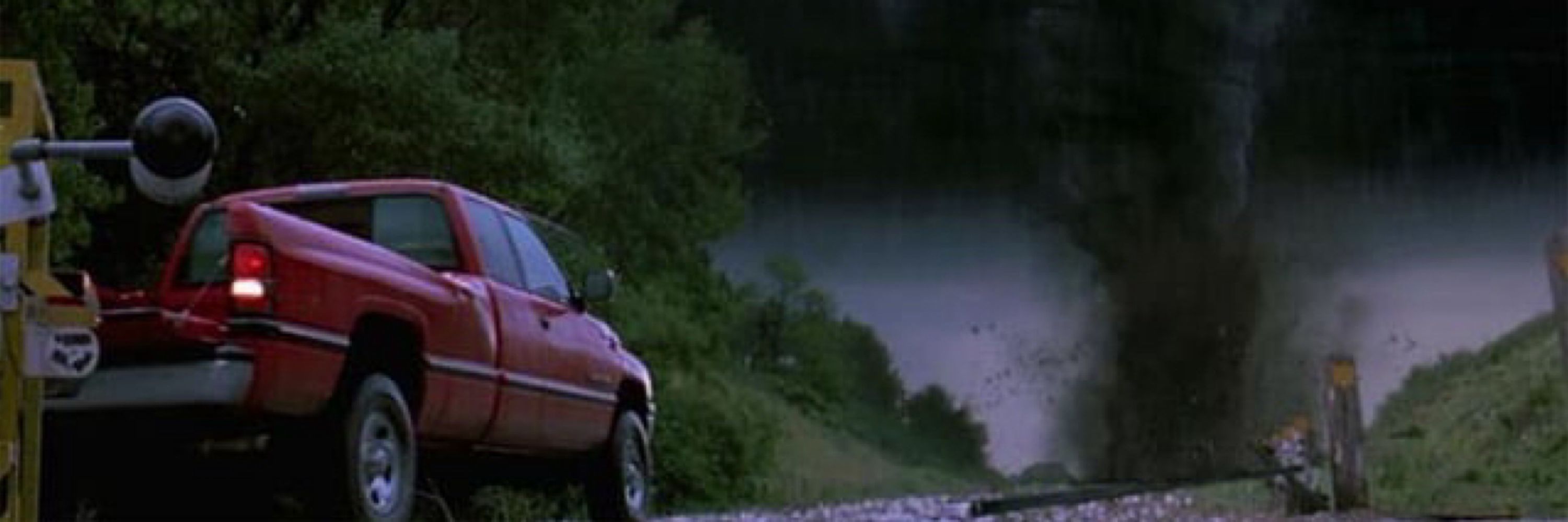
My incredible concept art.

March 25, 2025 at 4:02 AM
My incredible concept art.
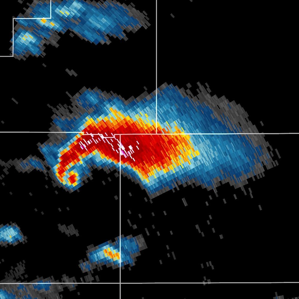
This was real. Great idea IMO.

March 25, 2025 at 3:46 AM
This was real. Great idea IMO.


Small box sounding near our discrete storm on the HRRR reveals a favorable environment for tornadoes, possibly a strong tornado should storm mode cooperate and fight off any low-level CINH. RAP solution is also a bit concerning in terms of what the ceiling for this event could be. #wxsky 2/2


October 29, 2024 at 4:31 PM
Small box sounding near our discrete storm on the HRRR reveals a favorable environment for tornadoes, possibly a strong tornado should storm mode cooperate and fight off any low-level CINH. RAP solution is also a bit concerning in terms of what the ceiling for this event could be. #wxsky 2/2
Some of our favorite CAMs are showing some solutions worth watching for tomorrow. Fall-winter convection isn't typically modeled well, so to see any pre-frontal convection is something to watch. The 06z HRRR, 00z NSSL, and 00z WRF ARW all show renegades firing ahead of the line... #wxsky #okwx 1/?


October 29, 2024 at 4:21 PM
Some consistency here... A conditional strong tornado definitely can't be ruled out in this environment!


October 20, 2024 at 1:36 AM
Some consistency here... A conditional strong tornado definitely can't be ruled out in this environment!
Should storms remain discrete and overcome any stability problems as we move later into the evening, a strong tornado can't be ruled out; especially given such impressive wind profiles! Watching the new 00z run like a hawk.

October 20, 2024 at 12:50 AM
Should storms remain discrete and overcome any stability problems as we move later into the evening, a strong tornado can't be ruled out; especially given such impressive wind profiles! Watching the new 00z run like a hawk.
Today across New Mexico was likely the "day before the day" event, with the 18z HRRR showing a fairly impressive environment... Especially for New Mexico standards this time of year. Nicely curved, streamwise low-level hodographs, with plenty of instability. #wxsky #wx #weather #tornado 1/2


October 20, 2024 at 12:48 AM
My #1 is probably the main Dodge City sup from 5/24/16 ingesting the residual OFB. The way it just spins it up is pure eye candy.
October 19, 2024 at 7:42 PM
My #1 is probably the main Dodge City sup from 5/24/16 ingesting the residual OFB. The way it just spins it up is pure eye candy.
Should we establish a mesocyclone(s), abundant low level instability in the region will make it much easier to stretch any vorticity into the vertical, allowing for the possibility of a brief tornado or two. Vorticity may be plentiful out there especially with any terrain induced convergence zones!

October 18, 2024 at 6:33 PM
Should we establish a mesocyclone(s), abundant low level instability in the region will make it much easier to stretch any vorticity into the vertical, allowing for the possibility of a brief tornado or two. Vorticity may be plentiful out there especially with any terrain induced convergence zones!
Interesting 2% tornado risk today in portions of Northeast Arizona! Though veered and a bit unidirectional, the wind-profile is quite supportive for supercells with even *some* counter-clockwise curvature evident from 0-1km. 1/2


October 18, 2024 at 6:29 PM
Interesting 2% tornado risk today in portions of Northeast Arizona! Though veered and a bit unidirectional, the wind-profile is quite supportive for supercells with even *some* counter-clockwise curvature evident from 0-1km. 1/2
If you see this, post a weather.

October 18, 2024 at 6:05 PM
If you see this, post a weather.


October 18, 2024 at 12:26 AM


