Maximilian Söchting
@soechting.bsky.social
PhD Student @Rsc4Earth & BSV, @UniLeipzig :: Interactive Visualization of Large-Scale Earth Data Sets ➡ https://github.com/msoechting/lexcube & http://lexcube.org
Even more new features:
▶️ Advanced animation options: animate any dimension & select a subrange to animate! 👇
🖌️ Improved colormap UI!
🔨 Various stability and performance improvements & bugfixes!
▶️ Advanced animation options: animate any dimension & select a subrange to animate! 👇
🖌️ Improved colormap UI!
🔨 Various stability and performance improvements & bugfixes!
April 29, 2025 at 2:17 PM
Even more new features:
▶️ Advanced animation options: animate any dimension & select a subrange to animate! 👇
🖌️ Improved colormap UI!
🔨 Various stability and performance improvements & bugfixes!
▶️ Advanced animation options: animate any dimension & select a subrange to animate! 👇
🖌️ Improved colormap UI!
🔨 Various stability and performance improvements & bugfixes!
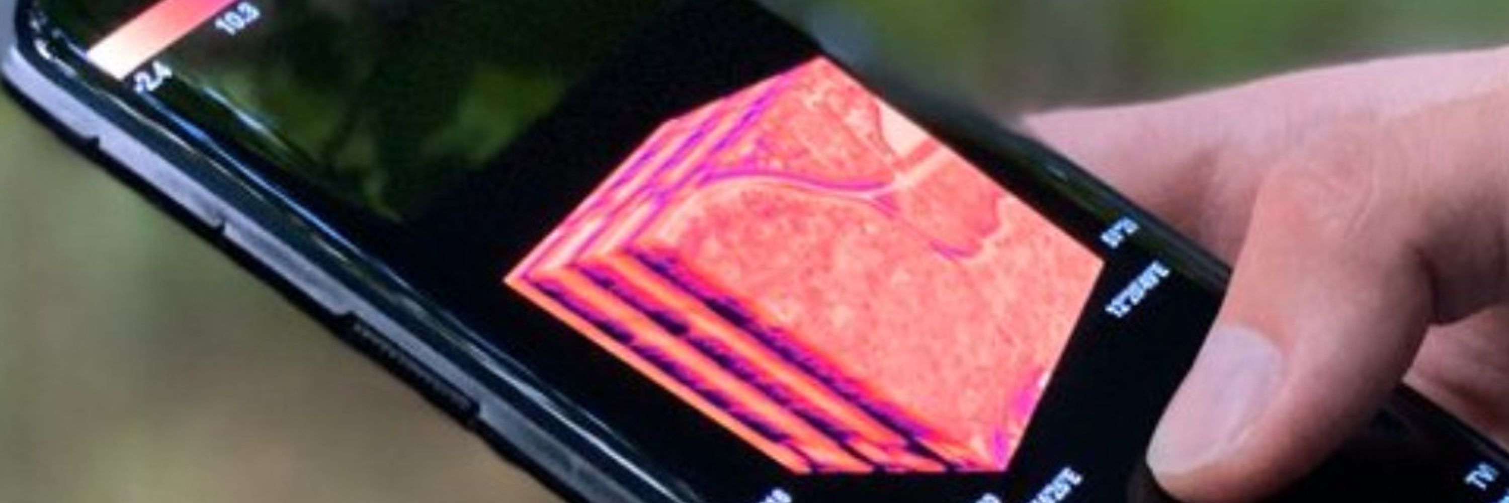
Major update to Lexcube.org - our interactive Earth System Data Cube visualization tool & my PhD project!
➡️ What’s new?
🌍 Region borders (or any GeoJSON) overlaid in the visualization!
🌎 Record GIF/MP4 animations!
🌏 Progress & dataset boundary indicators!
...and many more improvements 👇
➡️ What’s new?
🌍 Region borders (or any GeoJSON) overlaid in the visualization!
🌎 Record GIF/MP4 animations!
🌏 Progress & dataset boundary indicators!
...and many more improvements 👇
April 29, 2025 at 2:17 PM
Major update to Lexcube.org - our interactive Earth System Data Cube visualization tool & my PhD project!
➡️ What’s new?
🌍 Region borders (or any GeoJSON) overlaid in the visualization!
🌎 Record GIF/MP4 animations!
🌏 Progress & dataset boundary indicators!
...and many more improvements 👇
➡️ What’s new?
🌍 Region borders (or any GeoJSON) overlaid in the visualization!
🌎 Record GIF/MP4 animations!
🌏 Progress & dataset boundary indicators!
...and many more improvements 👇

