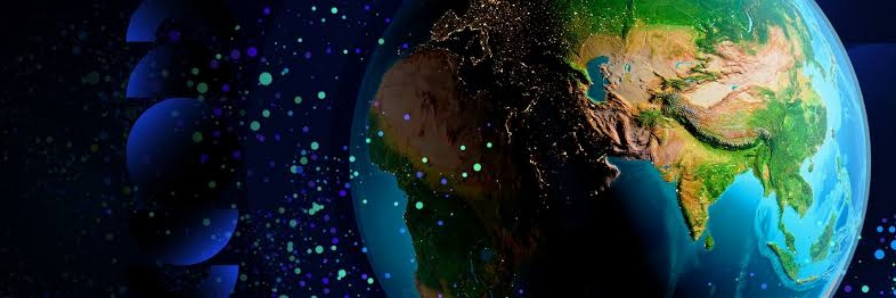
The world is getting more complex.
Whether you’re in tech, climate, health, logistics, or policy… Start thinking spatially.
The world is getting more complex.
Whether you’re in tech, climate, health, logistics, or policy… Start thinking spatially.
If you’re learning GIS, focus on
✓ Fundamentals: projections, data models, analysis
✓ Understanding the human environment interactions
✓ Communicating visualizations clearly
These matter more than the tools used.
If you’re learning GIS, focus on
✓ Fundamentals: projections, data models, analysis
✓ Understanding the human environment interactions
✓ Communicating visualizations clearly
These matter more than the tools used.
But here’s the truth:
The real skill isn’t knowing every software or all coding languages
It’s knowing how to think spatially.
Patterns, Relationships & Processes.
Tools change but spatial reasoning doesn’t.
But here’s the truth:
The real skill isn’t knowing every software or all coding languages
It’s knowing how to think spatially.
Patterns, Relationships & Processes.
Tools change but spatial reasoning doesn’t.
Remote sensing is also another aspect
We can now monitor forests, crops, floods, and cities from space in near real time.
Earth observation is becoming one of the world’s most powerful datasets.
Remote sensing is also another aspect
We can now monitor forests, crops, floods, and cities from space in near real time.
Earth observation is becoming one of the world’s most powerful datasets.
From climate change to food security to disasters every global challenge is spatial.
That’s why governments, UN agencies, and companies rely on geospatial data for planning and decision making.
From climate change to food security to disasters every global challenge is spatial.
That’s why governments, UN agencies, and companies rely on geospatial data for planning and decision making.
GIS isn’t about “drawing maps.”
It’s about answering real questions like:-
• Where is the problem?
• Why is it happening there?
• What will happen next?
• How do we plan better?
GIS isn’t about “drawing maps.”
It’s about answering real questions like:-
• Where is the problem?
• Why is it happening there?
• What will happen next?
• How do we plan better?
• A walkthrough of MSF’s humanitarian mapping workflows
• A step by step iD Editor tutorial
• Real time support from MSF staff
• A chance to contribute to life saving through geographic data
• A walkthrough of MSF’s humanitarian mapping workflows
• A step by step iD Editor tutorial
• Real time support from MSF staff
• A chance to contribute to life saving through geographic data

