Joseph Renalds
banner
josephrenalds.bsky.social
Joseph Renalds
@josephrenalds.bsky.social
Meteorology Student at UW-Seattle ⛈️❄️ | President of The UW Dawgcast | Enjoys photographing our world 📸
Snoqualmie Falls 📸

4PM yesterday VS 3PM today
#wawx
November 2, 2025 at 3:33 AM
This is my favorite falling asleep weather #wawx
May 21, 2025 at 4:47 AM
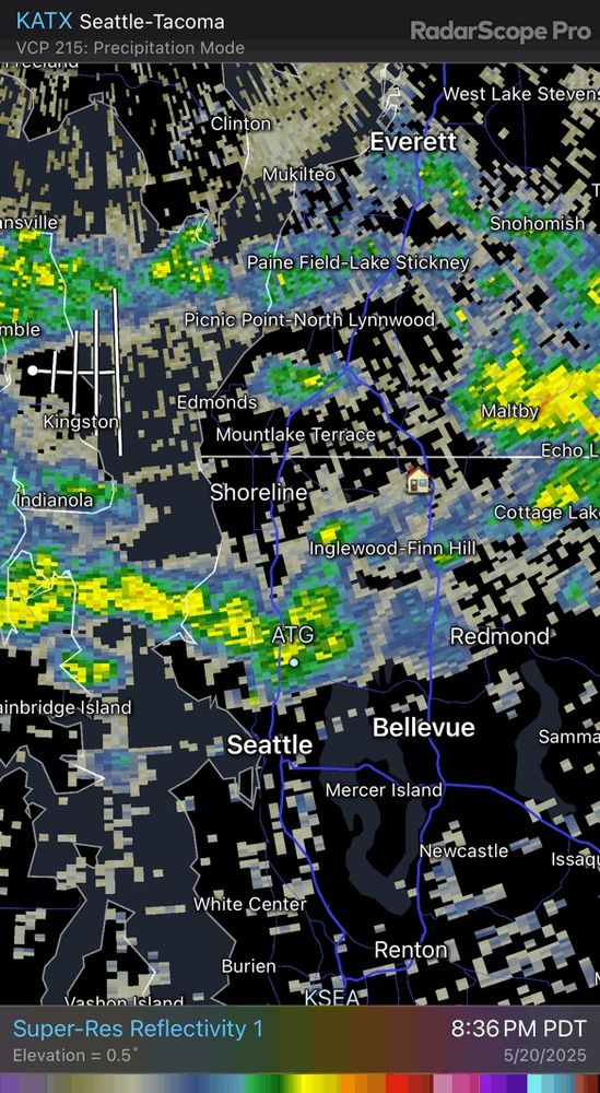
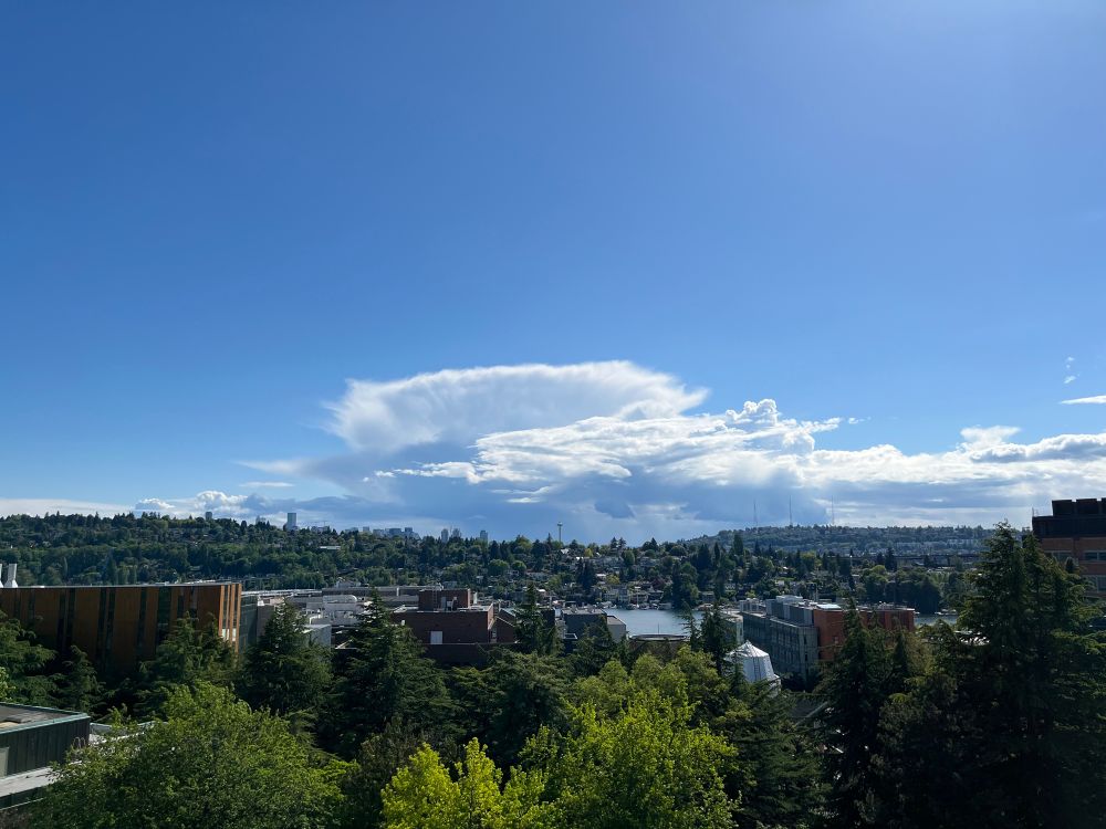
Afternoon convection views #wawx
May 12, 2025 at 11:35 PM
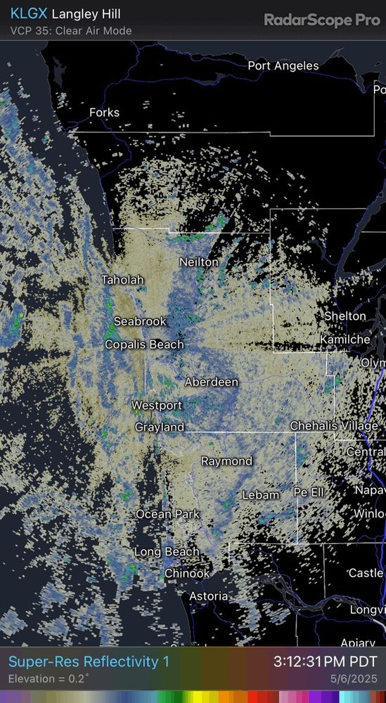
Our coastal radar captured the marine air boundary moving inland over the last couple hours.

Stations around Montesano saw temps drops from near 80 to around 70. #wawx
May 7, 2025 at 1:26 AM
UW in the spring is so nice #wawx
April 14, 2025 at 11:33 PM
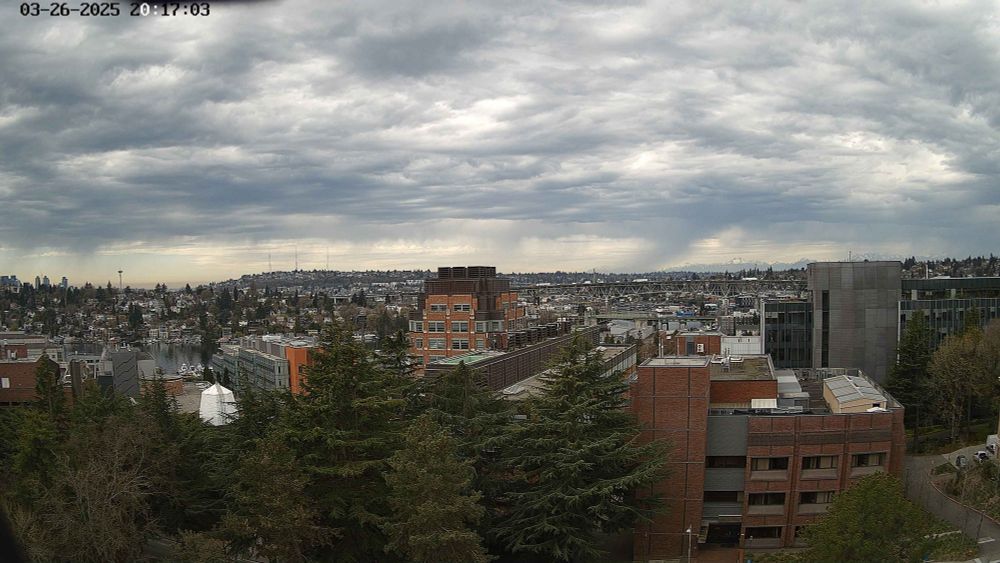
Clearing skies visible to the southwest (left side of picture) from a UW-Seattle webcam. Warmer temperatures will allow more energy for storms later this evening. #wawx
March 26, 2025 at 8:21 PM
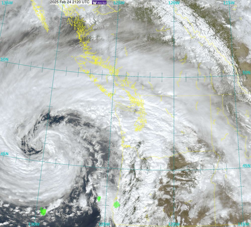
Afternoon satellite view 🛰️🌀 #wawx
February 24, 2025 at 9:43 PM
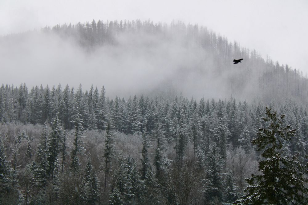
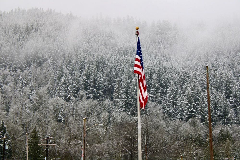
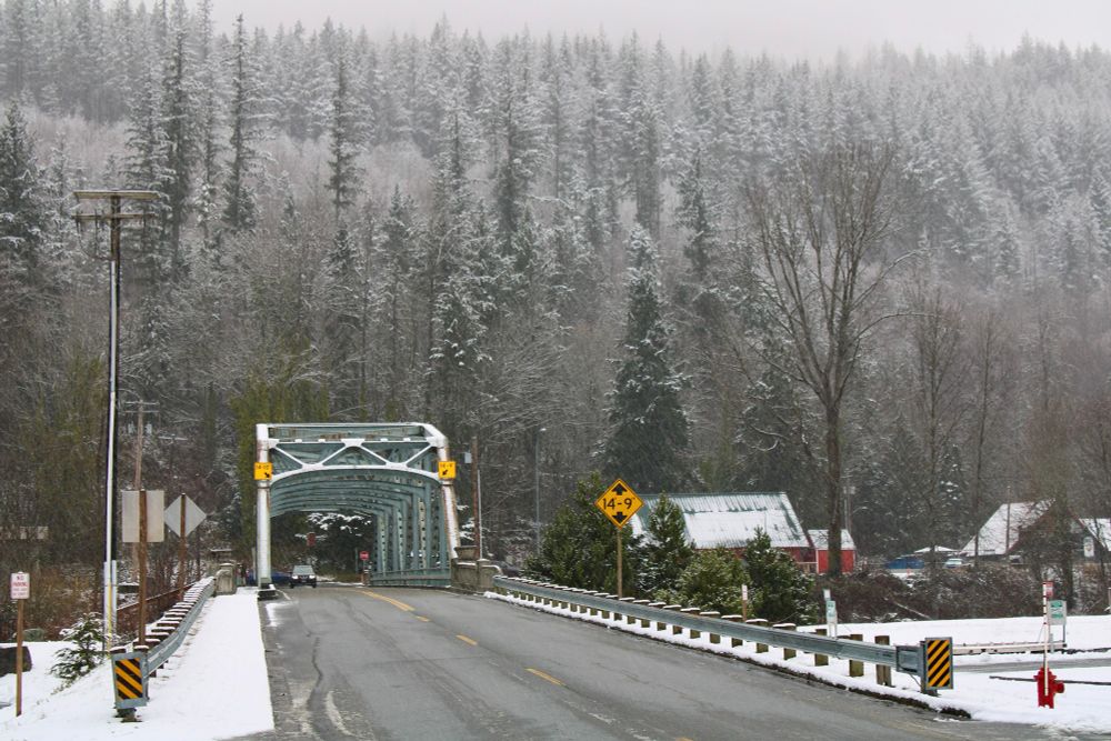
Got to photograph one of my PNW favorites today: The snow covered evergreen 🌲❄️🏔️ #wawx #snow #winter
February 2, 2025 at 4:28 AM
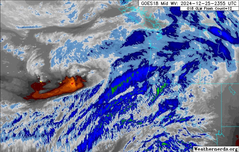
Satellite view of the storm that will bring windy conditions tonight into tomorrow morning.

This one has been tricky to forecast the peak winds so prepare for power outages now as you wrap up Christmas celebrations. #wawx #wind
December 26, 2024 at 4:25 AM
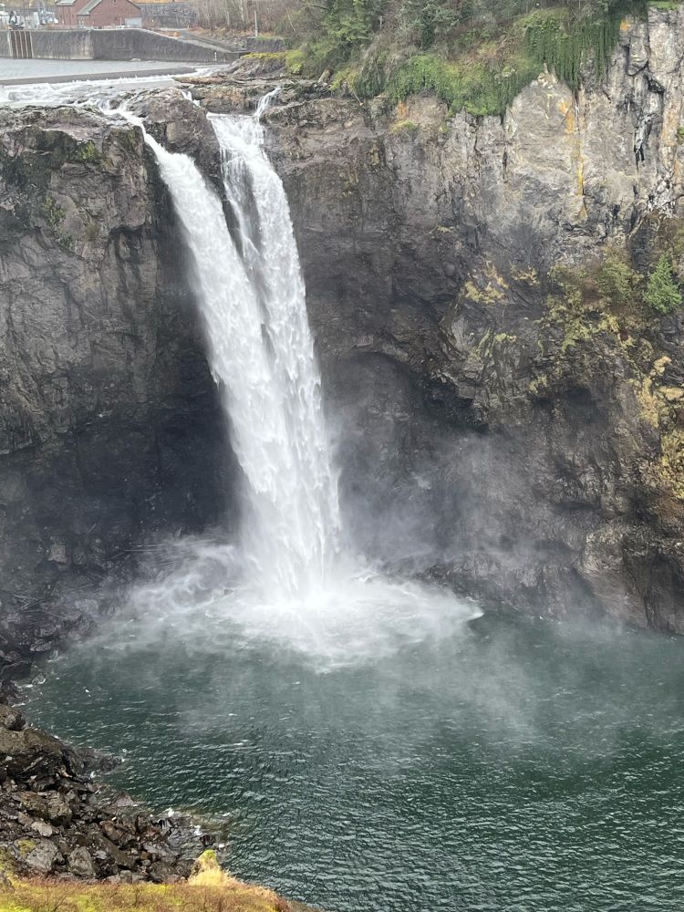
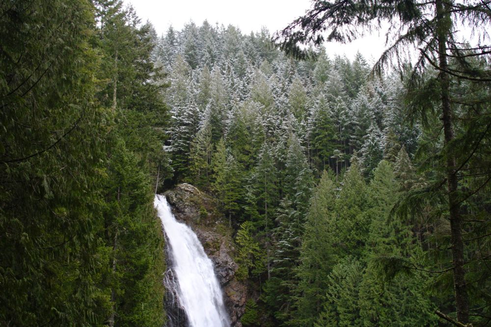
Was in Snoqualmie today so I had to stop by the falls.
December 17, 2024 at 11:16 PM
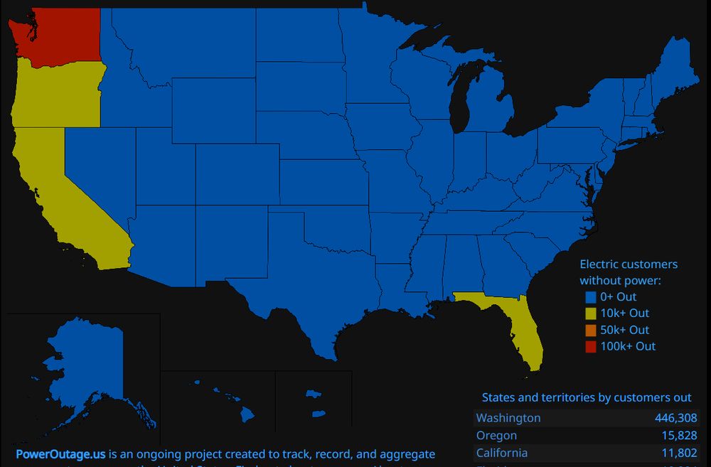
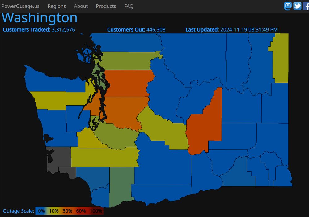
Outages now almost 450K customers in Washington as of 8:31PM according to PowerOutage.us.

We currently lead the nation in number of power outages. #wawx #wind
November 20, 2024 at 4:46 AM
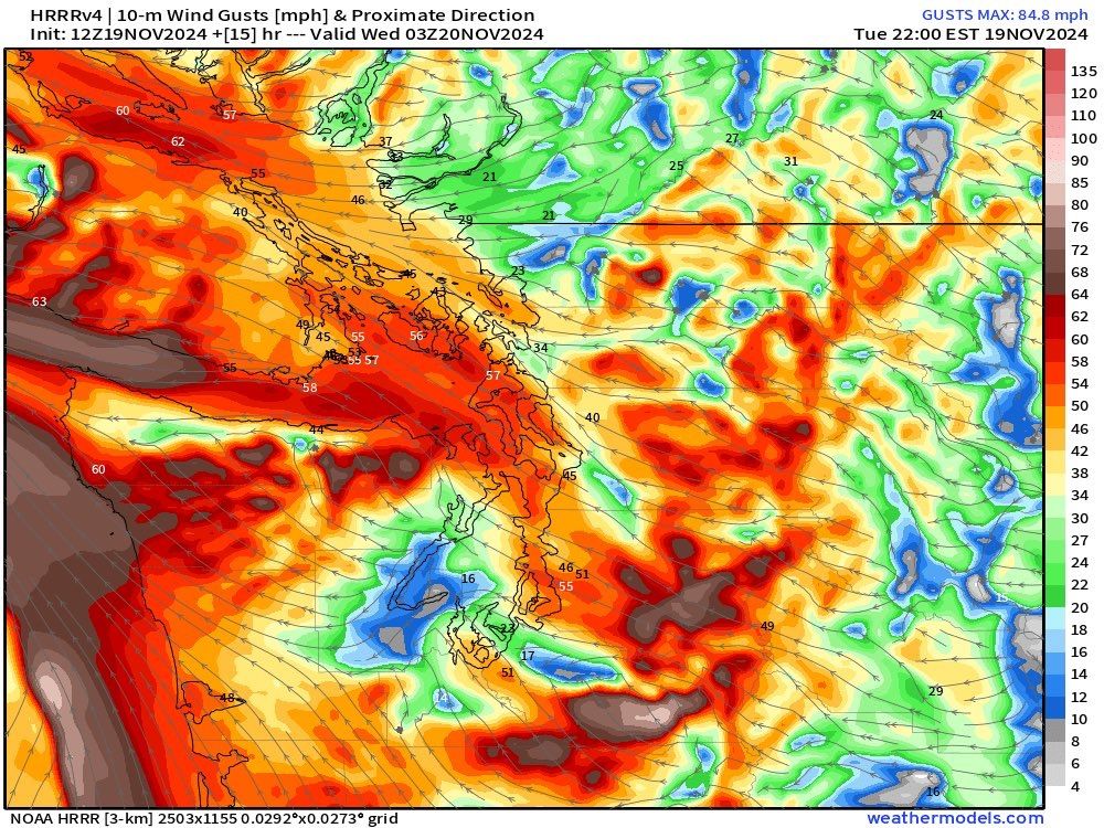
Winds will start pick up after 3PM today and peak between 7PM and midnight. Most impacted areas will be in the western Cascade foothill communities.

Make sure to keep devices charged, have a flashlight, and secure any loose outdoor items. #wawx #wind
November 19, 2024 at 5:14 PM
The 11/19 00Z (4PM) surface analysis shows the developing cyclone with a surface pressure of 1011 hPa.

The satellite image also shows a classic early stage in cyclone development known as the "baroclinic leaf." This storm will look very different in 24hrs. #wawx
November 19, 2024 at 6:58 AM
The beginning of what will be a rapidly developing bomb cyclone in the next 48 hours (circled in green) is currently ~1,800 miles NNW of Hawai'i. #WAwx #ORwx #pnw
November 18, 2024 at 6:20 AM
Downslope winds will be strong in the western Cascade gaps and foothill communities Tuesday night into Wednesday morning. Just look at those packed isobars over the WA Cascades. #wawx #wind
November 17, 2024 at 10:02 PM
Was curious and ran this trajectory backwards from the 650hPa level (11,500ft). You can see (indicated by the colors) how the air has risen in the last 24hrs as it has approached western Washington.
Rising air --> condensation ☁️ --> rain 🌧️
#wawx
November 13, 2024 at 5:06 AM
Happy #WDay!
November 2, 2024 at 1:02 AM
Peak autumn right now in the #pnw
November 1, 2024 at 4:11 AM
Autumn vs. Spring 🌳🍂
October 22, 2024 at 11:01 PM
Very nice to have the nighttime rain sound again. 🌧️ 📚 #wawx
October 22, 2024 at 3:20 AM
Hi all!
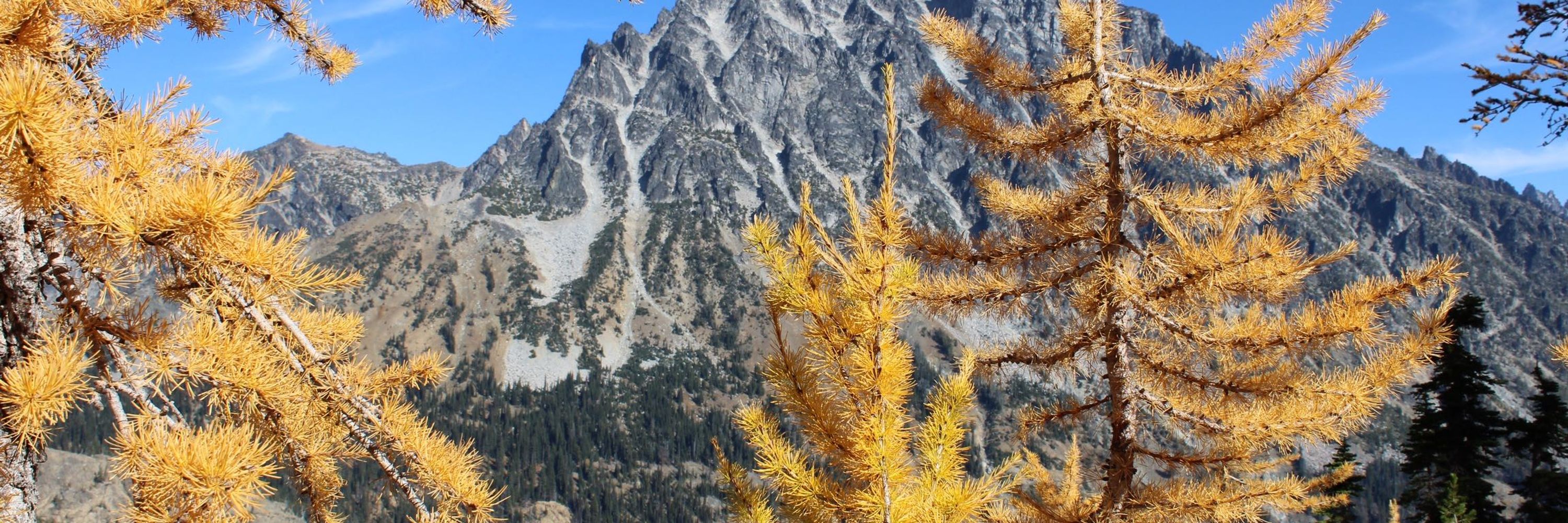
I’m a senior in meteorology at the University of Washington so you’ll see lots of weather content from me. I also enjoy hiking/photography so they’ll be plenty of nature pictures as well! Here’s one I got of larches last weekend. 🌲 ⛰️
October 21, 2024 at 4:55 AM