


Joseph Meyer
@josephmeyerwx.bsky.social
#MizzouMade Meteorologist | Weather history buff, but also actual history buff | Certified 3/12/2006 Expert | MO to NE
Some changes from official sources:
-Craig F-3 hit Turin
-Yutan F-4 hit Woodbine
-Small tornado southwest of Lincoln
-Greenwood track changed
-Omaha tornado began farther south in Sarpy County
-Council Bluffs tornado split in two/no evidence of any damage in Nebraska
-All the western Iowa stuff
-Craig F-3 hit Turin
-Yutan F-4 hit Woodbine
-Small tornado southwest of Lincoln
-Greenwood track changed
-Omaha tornado began farther south in Sarpy County
-Council Bluffs tornado split in two/no evidence of any damage in Nebraska
-All the western Iowa stuff


December 6, 2024 at 11:22 PM
Some changes from official sources:
-Craig F-3 hit Turin
-Yutan F-4 hit Woodbine
-Small tornado southwest of Lincoln
-Greenwood track changed
-Omaha tornado began farther south in Sarpy County
-Council Bluffs tornado split in two/no evidence of any damage in Nebraska
-All the western Iowa stuff
-Craig F-3 hit Turin
-Yutan F-4 hit Woodbine
-Small tornado southwest of Lincoln
-Greenwood track changed
-Omaha tornado began farther south in Sarpy County
-Council Bluffs tornado split in two/no evidence of any damage in Nebraska
-All the western Iowa stuff
I used the official tornado rating form Grazulis. The white is "EF-U". Some of these could also be downbursts, it's hard to distinguish in written accounts without any photos.
Western Iowa was the trickiest, with widespread damage across Crawford, Shelby, Carroll, and Audubon Counties.
Western Iowa was the trickiest, with widespread damage across Crawford, Shelby, Carroll, and Audubon Counties.

December 6, 2024 at 11:22 PM
I used the official tornado rating form Grazulis. The white is "EF-U". Some of these could also be downbursts, it's hard to distinguish in written accounts without any photos.
Western Iowa was the trickiest, with widespread damage across Crawford, Shelby, Carroll, and Audubon Counties.
Western Iowa was the trickiest, with widespread damage across Crawford, Shelby, Carroll, and Audubon Counties.
I am not the first to attempt this, Trudy Bell did this back in 2007. I am just building on that.
Here is a comparison of the three maps including mine:
-Thomas Grazulis/Tornado Archive
-NWS Omaha
-Trudy Bell
Here is a comparison of the three maps including mine:
-Thomas Grazulis/Tornado Archive
-NWS Omaha
-Trudy Bell


December 6, 2024 at 11:22 PM
I am not the first to attempt this, Trudy Bell did this back in 2007. I am just building on that.
Here is a comparison of the three maps including mine:
-Thomas Grazulis/Tornado Archive
-NWS Omaha
-Trudy Bell
Here is a comparison of the three maps including mine:
-Thomas Grazulis/Tornado Archive
-NWS Omaha
-Trudy Bell
I've worked on this for the past few weeks so I thought I'd share here too.
I have created what I believe to be the most accurate map of the March 23, 1913 (Easter Sunday) tornado outbreak in Nebraska and Iowa.
I used archived newspapers, county plat maps, and more to achieve this.
I have created what I believe to be the most accurate map of the March 23, 1913 (Easter Sunday) tornado outbreak in Nebraska and Iowa.
I used archived newspapers, county plat maps, and more to achieve this.

December 6, 2024 at 11:22 PM
I've worked on this for the past few weeks so I thought I'd share here too.
I have created what I believe to be the most accurate map of the March 23, 1913 (Easter Sunday) tornado outbreak in Nebraska and Iowa.
I used archived newspapers, county plat maps, and more to achieve this.
I have created what I believe to be the most accurate map of the March 23, 1913 (Easter Sunday) tornado outbreak in Nebraska and Iowa.
I used archived newspapers, county plat maps, and more to achieve this.
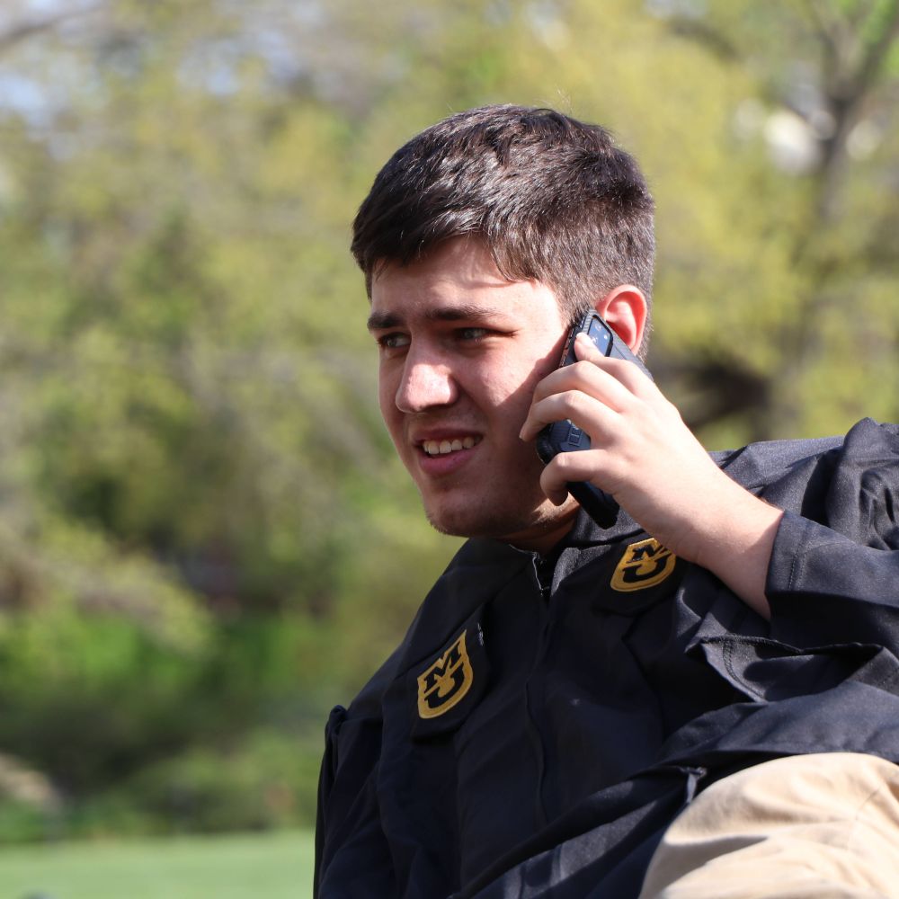
Hello! My name is Joseph Meyer! I'm a broadcast meteorologist currently residing in Omaha, Nebraska.
I was born and raised outside of St. Louis, and got my met degree from Mizzou.
I don't do a lot of the "chasing" stuff due to work, but I do write about wx history in NE/IA/MO!
I was born and raised outside of St. Louis, and got my met degree from Mizzou.
I don't do a lot of the "chasing" stuff due to work, but I do write about wx history in NE/IA/MO!


October 17, 2024 at 4:30 AM
Hello! My name is Joseph Meyer! I'm a broadcast meteorologist currently residing in Omaha, Nebraska.
I was born and raised outside of St. Louis, and got my met degree from Mizzou.
I don't do a lot of the "chasing" stuff due to work, but I do write about wx history in NE/IA/MO!
I was born and raised outside of St. Louis, and got my met degree from Mizzou.
I don't do a lot of the "chasing" stuff due to work, but I do write about wx history in NE/IA/MO!