


geomad
@geomad.bsky.social
sql-lover, geospatial developer and geobase.app founder
geobase.app/blog/postgis... my talk from PostGIS day is now online - I talked about vector embeddings and geospatial data in PostgreSQL. So many of my favorite tech in one talk!
PostGIS Day 2025 Talk Now Live - Working with Geospatial Embeddings | Geobase
Watch our talk from PostGIS Day 2025 on how we built geospatial embeddings directly into Geobase.app by extending PostGIS with PGVector, enabling semantic search and similarity queries over maps, rast...
geobase.app
December 8, 2025 at 3:08 PM
geobase.app/blog/postgis... my talk from PostGIS day is now online - I talked about vector embeddings and geospatial data in PostgreSQL. So many of my favorite tech in one talk!
This is a completely made up point cloud but its for a real place!
We have been testing generative models to create 3d meshes ... this is based on Skyfall-GS I'll write a longer post on this on our @geobase.bsky.social blog soon, though still a long way to go for applications but impressive.
We have been testing generative models to create 3d meshes ... this is based on Skyfall-GS I'll write a longer post on this on our @geobase.bsky.social blog soon, though still a long way to go for applications but impressive.
November 30, 2025 at 9:17 AM
This is a completely made up point cloud but its for a real place!
We have been testing generative models to create 3d meshes ... this is based on Skyfall-GS I'll write a longer post on this on our @geobase.bsky.social blog soon, though still a long way to go for applications but impressive.
We have been testing generative models to create 3d meshes ... this is based on Skyfall-GS I'll write a longer post on this on our @geobase.bsky.social blog soon, though still a long way to go for applications but impressive.
Adding deckgl support to geoai.js github.com/decision-lab...
thanks to Felix Palmer for the suggestion to help get this going - minimal demo: codepen.io/sabm/full/VY...
#javascript #geoai #deckgl
thanks to Felix Palmer for the suggestion to help get this going - minimal demo: codepen.io/sabm/full/VY...
#javascript #geoai #deckgl
August 30, 2025 at 11:19 PM
Adding deckgl support to geoai.js github.com/decision-lab...
thanks to Felix Palmer for the suggestion to help get this going - minimal demo: codepen.io/sabm/full/VY...
#javascript #geoai #deckgl
thanks to Felix Palmer for the suggestion to help get this going - minimal demo: codepen.io/sabm/full/VY...
#javascript #geoai #deckgl
Reposted by geomad

Recently had some fun micromapping Pillar Falls in Idaho's Snake River Canyon. Featuring dramatic basalt pillars, this falls runs over exposed bedrock much of the year (intermittent=yes in OpenStreetMap terms). This makes for a popular local hangout spot and an interesting place to map


August 27, 2025 at 7:54 PM
Recently had some fun micromapping Pillar Falls in Idaho's Snake River Canyon. Featuring dramatic basalt pillars, this falls runs over exposed bedrock much of the year (intermittent=yes in OpenStreetMap terms). This makes for a popular local hangout spot and an interesting place to map
I just released geoai.js an open source toolkit for doing GeoAI in the web using webGPU
docs: docs.geobase.app/geoai
live: docs.geobase.app/geoai-live
code: github.com/decision-lab...
#javascript #geoai #dev #ai
youtube.com/shorts/5vdcf...
docs: docs.geobase.app/geoai
live: docs.geobase.app/geoai-live
code: github.com/decision-lab...
#javascript #geoai #dev #ai
youtube.com/shorts/5vdcf...
August 22, 2025 at 11:29 PM
I just released geoai.js an open source toolkit for doing GeoAI in the web using webGPU
docs: docs.geobase.app/geoai
live: docs.geobase.app/geoai-live
code: github.com/decision-lab...
#javascript #geoai #dev #ai
youtube.com/shorts/5vdcf...
docs: docs.geobase.app/geoai
live: docs.geobase.app/geoai-live
code: github.com/decision-lab...
#javascript #geoai #dev #ai
youtube.com/shorts/5vdcf...
Reposted by geomad

Just a few steps with the new Geobase blueprint, and I've got detailed shipping data up and running. Even surprised myself with the speed! awesome narration by @tim_waters
code at github.com/decision-lab... #gischat #javascript #reactjs #geodev
code at github.com/decision-lab... #gischat #javascript #reactjs #geodev
August 12, 2025 at 12:54 PM
Just a few steps with the new Geobase blueprint, and I've got detailed shipping data up and running. Even surprised myself with the speed! awesome narration by @tim_waters
code at github.com/decision-lab... #gischat #javascript #reactjs #geodev
code at github.com/decision-lab... #gischat #javascript #reactjs #geodev
new feature!
We've added a new feature to Geobase—transform your dynamic vector tiles into static ones easily using the awesome pmtiles... youtu.be/4jCu8w-CxnM

⚡Create Fast and Free Vector Tiles
YouTube video by geobase
youtu.be
April 15, 2025 at 1:10 PM
new feature!
this was fun to make - took me 1 hour to go from idea to working prototype - thanks to geobase's APIs and ecosystem!
🎤 We dropped a new video! youtu.be/YhkbML4R2z8
🌍 Build a city health Viz with Geobase, DuckDB-UI & GeoParquet
❤️Appreciate the support from #Horizon2020, EmotionalCities emotionalcities-h2020.eu and @EUScienceInnov —enabling valuable open research #GeoData #DataViz #DuckDB #EUScience #OpenData
🌍 Build a city health Viz with Geobase, DuckDB-UI & GeoParquet
❤️Appreciate the support from #Horizon2020, EmotionalCities emotionalcities-h2020.eu and @EUScienceInnov —enabling valuable open research #GeoData #DataViz #DuckDB #EUScience #OpenData

Build a City Health Viz with GeoBase + DuckDB + GeoParquet!
YouTube video by geobase
youtu.be
April 4, 2025 at 8:48 AM
this was fun to make - took me 1 hour to go from idea to working prototype - thanks to geobase's APIs and ecosystem!
Reposted by geomad
I've been playing around with #ecmwf #weatherforecast model called AIFS. Deployed a demo inference app it was super smooth and works reasonably fast on a small GPU well done to @ecmwf.int form making the model available! 🇪🇺
Code at:
huggingface.co/spaces/decis...
Code at:
huggingface.co/spaces/decis...

April 2, 2025 at 6:28 AM
I've been playing around with #ecmwf #weatherforecast model called AIFS. Deployed a demo inference app it was super smooth and works reasonably fast on a small GPU well done to @ecmwf.int form making the model available! 🇪🇺
Code at:
huggingface.co/spaces/decis...
Code at:
huggingface.co/spaces/decis...
Reposted by geomad
youtu.be/-EzU1hOuXa4
Geobase now supports satellite data via STAC protocol or Cloud Optimised GeoTiffs. now you can build app in the domain of agri-tech, smart cities, urban planning and much more without leaving your favorite javascript dev stack, next.js, vue.js or even vanillajs #gischat
Geobase now supports satellite data via STAC protocol or Cloud Optimised GeoTiffs. now you can build app in the domain of agri-tech, smart cities, urban planning and much more without leaving your favorite javascript dev stack, next.js, vue.js or even vanillajs #gischat
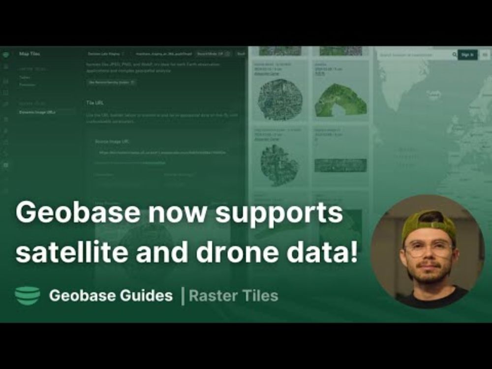
Geobase now supports satellite and drone data!
YouTube video by geobase
youtu.be
March 1, 2025 at 9:53 PM
youtu.be/-EzU1hOuXa4
Geobase now supports satellite data via STAC protocol or Cloud Optimised GeoTiffs. now you can build app in the domain of agri-tech, smart cities, urban planning and much more without leaving your favorite javascript dev stack, next.js, vue.js or even vanillajs #gischat
Geobase now supports satellite data via STAC protocol or Cloud Optimised GeoTiffs. now you can build app in the domain of agri-tech, smart cities, urban planning and much more without leaving your favorite javascript dev stack, next.js, vue.js or even vanillajs #gischat
Today we are really excited to announce support for multi-band Raster Tiles and Cloud Optimised Geotiffs (COGs) in Geobase! (only in private beta ATM hit us up if you want early access)
more at 👉 geobase.app
#gischat #cloudnativegeospatial #satelliteimagery #dronemapping
more at 👉 geobase.app
#gischat #cloudnativegeospatial #satelliteimagery #dronemapping
February 18, 2025 at 7:41 AM
Today we are really excited to announce support for multi-band Raster Tiles and Cloud Optimised Geotiffs (COGs) in Geobase! (only in private beta ATM hit us up if you want early access)
more at 👉 geobase.app
#gischat #cloudnativegeospatial #satelliteimagery #dronemapping
more at 👉 geobase.app
#gischat #cloudnativegeospatial #satelliteimagery #dronemapping
Reposted by geomad
Geospatial Datalakes with duckdb/motherduck starts in 20m ...
www.youtube.com/watch?v=360B...
#Geospatial #duckdb #motherduck #gischat #geodev
www.youtube.com/watch?v=360B...
#Geospatial #duckdb #motherduck #gischat #geodev

Geospatial Data Lakes! Maps from Motherduck (duckdb)
YouTube video by geobase
www.youtube.com
February 6, 2025 at 9:22 PM
Geospatial Datalakes with duckdb/motherduck starts in 20m ...
www.youtube.com/watch?v=360B...
#Geospatial #duckdb #motherduck #gischat #geodev
www.youtube.com/watch?v=360B...
#Geospatial #duckdb #motherduck #gischat #geodev
Geospatial Datalakes with duckdb/motherduck starts in 20m ...
www.youtube.com/watch?v=360B...
#Geospatial #duckdb #motherduck #gischat #geodev
www.youtube.com/watch?v=360B...
#Geospatial #duckdb #motherduck #gischat #geodev
Geospatial Data Lakes! Maps from Motherduck (duckdb)
YouTube video by geobase
www.youtube.com
February 6, 2025 at 9:22 PM
Geospatial Datalakes with duckdb/motherduck starts in 20m ...
www.youtube.com/watch?v=360B...
#Geospatial #duckdb #motherduck #gischat #geodev
www.youtube.com/watch?v=360B...
#Geospatial #duckdb #motherduck #gischat #geodev
Starting again in 40min with live coding session building a real time collaborative mapping app... youtube.com/live/XQznrU_...
#nextjs #geodev #gischat #geobase
#nextjs #geodev #gischat #geobase
YouTube
Share your videos with friends, family, and the world
youtube.com
January 16, 2025 at 8:26 PM
Starting again in 40min with live coding session building a real time collaborative mapping app... youtube.com/live/XQznrU_...
#nextjs #geodev #gischat #geobase
#nextjs #geodev #gischat #geobase
Just under 2 hours to go before we go live for Africa/EU/Middle East Time. Join us at the provided YouTube link to watch us build a mapping app live!
www.youtube.com/watch?v=f9lL...
#GISChat #Geospatial #JavaScript #NextJS
www.youtube.com/watch?v=f9lL...
#GISChat #Geospatial #JavaScript #NextJS

[EU Timezone] Geobase Beta Launch Q&A Session
YouTube video by geobase
www.youtube.com
January 16, 2025 at 1:30 PM
Just under 2 hours to go before we go live for Africa/EU/Middle East Time. Join us at the provided YouTube link to watch us build a mapping app live!
www.youtube.com/watch?v=f9lL...
#GISChat #Geospatial #JavaScript #NextJS
www.youtube.com/watch?v=f9lL...
#GISChat #Geospatial #JavaScript #NextJS
One day to go! www.youtube.com/watch?v=nHMS... do share with your friends, family and pets 🐶 🐱
#gischat #javascript #nextjs
#gischat #javascript #nextjs

We are building this live!
YouTube video by geobase
www.youtube.com
January 15, 2025 at 5:26 PM
One day to go! www.youtube.com/watch?v=nHMS... do share with your friends, family and pets 🐶 🐱
#gischat #javascript #nextjs
#gischat #javascript #nextjs
new tutorial video using #maplibre ... it *does* include my stupid face on the thumbnail, for which I apologise in advance
Up skilling to be a geospatial developer? It's totally fine to take baby steps. Have fun making popups using the geobase as the backend on maplibre-gl.js frontend...
A short tutorial video check it out! youtu.be/qciA3yM7HtA
#gischat #maplibre #geobase #vectortiles
A short tutorial video check it out! youtu.be/qciA3yM7HtA
#gischat #maplibre #geobase #vectortiles
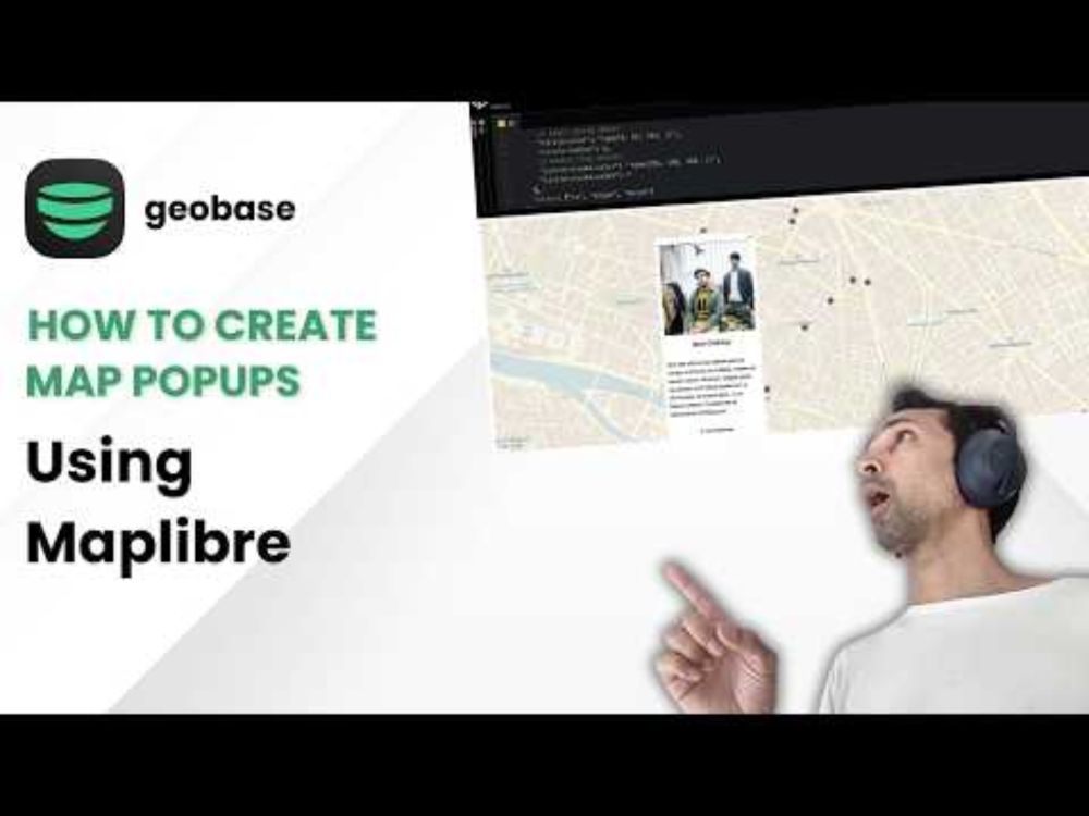
How to create map popups using maplibre and geobase vector tiles
YouTube video by geobase
youtu.be
January 13, 2025 at 1:56 PM
new tutorial video using #maplibre ... it *does* include my stupid face on the thumbnail, for which I apologise in advance
🆕 New tutorial out! How to import OpenStreetMap data into Geobase using ogr2ogr (GDAL)
youtu.be/GI2JrANYjsc #gischat #geodev #javascript
youtu.be/GI2JrANYjsc #gischat #geodev #javascript

Importing building footprints from OpenStreetMap using ogr2ogr
YouTube video by geobase
youtu.be
January 3, 2025 at 8:38 PM
🆕 New tutorial out! How to import OpenStreetMap data into Geobase using ogr2ogr (GDAL)
youtu.be/GI2JrANYjsc #gischat #geodev #javascript
youtu.be/GI2JrANYjsc #gischat #geodev #javascript
🎁 If anyone's thinking of starting their journey to becoming a GIS/Geo dev & like to learn by doing, then this holiday season, try to build a real-time sharable maps app
Video of final app www.youtube.com/watch?v=vcWF...
Guide: 👉 docs.geobase.app/blueprints/s...
Start building! 💻 #gischat #js
Video of final app www.youtube.com/watch?v=vcWF...
Guide: 👉 docs.geobase.app/blueprints/s...
Start building! 💻 #gischat #js

Geobase Blueprint: Shareable Maps (Next.js)
YouTube video by geobase
www.youtube.com
December 23, 2024 at 11:29 AM
🎁 If anyone's thinking of starting their journey to becoming a GIS/Geo dev & like to learn by doing, then this holiday season, try to build a real-time sharable maps app
Video of final app www.youtube.com/watch?v=vcWF...
Guide: 👉 docs.geobase.app/blueprints/s...
Start building! 💻 #gischat #js
Video of final app www.youtube.com/watch?v=vcWF...
Guide: 👉 docs.geobase.app/blueprints/s...
Start building! 💻 #gischat #js
I finally gave in to my 5-year-old niece… she’s now racing on a Rainbow Road! 🌈🗺️✨ Built her this racing game using real #OpenStreetMap data with geobase.app 🚀 #GISchat #MapMagic
December 16, 2024 at 8:51 PM
I finally gave in to my 5-year-old niece… she’s now racing on a Rainbow Road! 🌈🗺️✨ Built her this racing game using real #OpenStreetMap data with geobase.app 🚀 #GISchat #MapMagic
When you spend 20 minutes explaining vector tiles to your 5-year-old niece and she hits you with: 'But can it be a rainbow tho?' 🌈📍 #gischat #geo #cartography
December 14, 2024 at 8:04 PM
When you spend 20 minutes explaining vector tiles to your 5-year-old niece and she hits you with: 'But can it be a rainbow tho?' 🌈📍 #gischat #geo #cartography
So we are adding 3D geo vizualisation blueprints now ... signup to the waiting list and start building 3D geoviz like a boss with 👉 geobase.app
#geobase #fullstackgeo #javascript #gis
#geobase #fullstackgeo #javascript #gis
December 9, 2024 at 6:47 PM
So we are adding 3D geo vizualisation blueprints now ... signup to the waiting list and start building 3D geoviz like a boss with 👉 geobase.app
#geobase #fullstackgeo #javascript #gis
#geobase #fullstackgeo #javascript #gis
FACT: Geospatial developers earn more monies than regular devs [1]
FACT: geobase.app makes becoming a geospatial developer, dead easy... go from data to vector tiles in one second in geobase [2]
👉 geobase.app in action!
[1] made up that fact 🤷
[2] true fact 😊
#gischat #javascript #fullstack
FACT: geobase.app makes becoming a geospatial developer, dead easy... go from data to vector tiles in one second in geobase [2]
👉 geobase.app in action!
[1] made up that fact 🤷
[2] true fact 😊
#gischat #javascript #fullstack
December 6, 2024 at 9:13 PM
FACT: Geospatial developers earn more monies than regular devs [1]
FACT: geobase.app makes becoming a geospatial developer, dead easy... go from data to vector tiles in one second in geobase [2]
👉 geobase.app in action!
[1] made up that fact 🤷
[2] true fact 😊
#gischat #javascript #fullstack
FACT: geobase.app makes becoming a geospatial developer, dead easy... go from data to vector tiles in one second in geobase [2]
👉 geobase.app in action!
[1] made up that fact 🤷
[2] true fact 😊
#gischat #javascript #fullstack
We just ran a super resolution generative model on top of imagery by ESA over Riyadh. One can use it to get change detection over old images and new images and see things that you can’t see the lower resolution. It’s a very cool, though must be used with caution, as one can't guarantee accuracy

December 3, 2024 at 9:18 PM
We just ran a super resolution generative model on top of imagery by ESA over Riyadh. One can use it to get change detection over old images and new images and see things that you can’t see the lower resolution. It’s a very cool, though must be used with caution, as one can't guarantee accuracy
not many people know this but it's possible to figure out how fast an object is moving from a satellite image... multiband hi-resolutions satellites today capture different wave lengths with slight time diffs between the capture.

December 3, 2024 at 8:24 PM
not many people know this but it's possible to figure out how fast an object is moving from a satellite image... multiband hi-resolutions satellites today capture different wave lengths with slight time diffs between the capture.