


Conor Graham
@geoconor.bsky.social
Geography Jedi, GIS, Survey, Geomatics and Mapping. Geographer, MTBr and Moto rider. CO2BN 331ppm 🌍🛰️🌋🚴🏻♀️ Centre for GIS & Geomatics #QUB #Belfast #BikeisBest #drones4good #badcartographer maps@ https://geo-graphica.com/
November 26, 2025 at 5:59 PM
Location of tonight Broadway bonfire #belfast maps.app.goo.gl/j4RkFyMxMQeP...

maps.app.goo.gl
July 11, 2025 at 12:05 PM
Location of tonight Broadway bonfire #belfast maps.app.goo.gl/j4RkFyMxMQeP...
Ah the barrack buster! Good times 😜
June 10, 2025 at 12:29 PM
Ah the barrack buster! Good times 😜
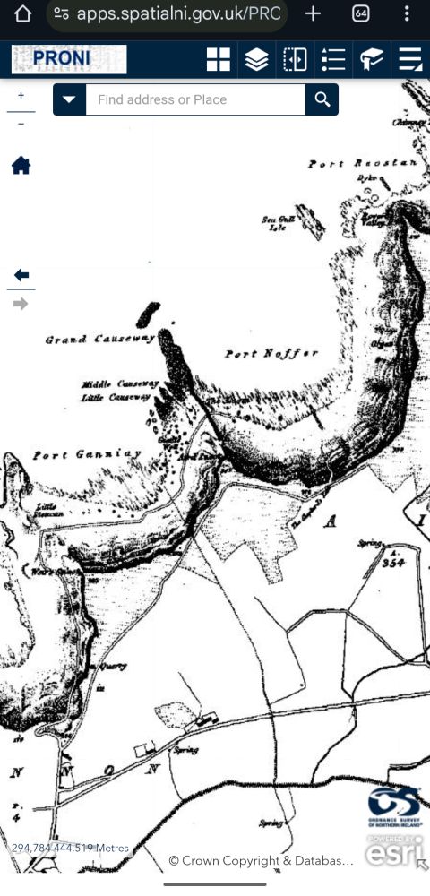
Check out the PRONI Mapper. Has OSNI maps going back to 1830. www.nidirect.gov.uk/services/sea...
May 28, 2025 at 7:52 AM
Check out the PRONI Mapper. Has OSNI maps going back to 1830. www.nidirect.gov.uk/services/sea...
PS. Printed on Bamboo X1 with AMS. uk.store.bambulab.com/products/x1-...
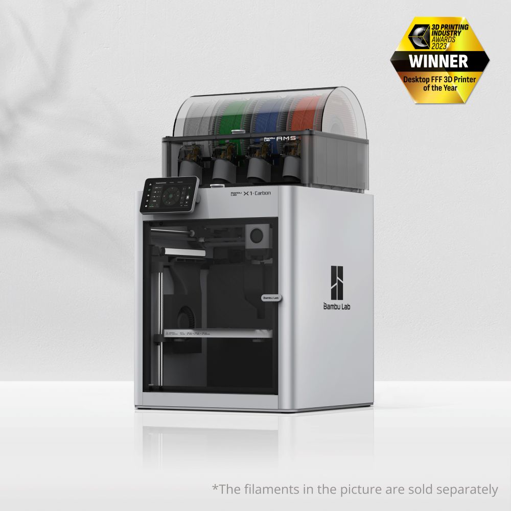
Bambu Lab X1C 3D Printer
Introducing our 3D Printer, Bambu Lab X1 Carbon. With faster and smarter printing, you are free from waiting to just enjoy the creation. Experience and enjoy the 3D printing in precision and detail w...
uk.store.bambulab.com
May 22, 2025 at 9:24 PM
PS. Printed on Bamboo X1 with AMS. uk.store.bambulab.com/products/x1-...
We have to touch up very low lying areas with some white acrylic paint where areas a <0m OD or where the printer resolution had difficulties laying down 'land layer'. 😁
May 21, 2025 at 8:56 AM
We have to touch up very low lying areas with some white acrylic paint where areas a <0m OD or where the printer resolution had difficulties laying down 'land layer'. 😁
Hi Fred, our printer can swap colours during a print so we created edge to edge scale tiles covering the isles (EU-DEM) and printed each tile (c20cmx20cm) to build the finished map @1/6k. Tiles are generated in QGIS, exported to printer format and 'sea level' printed blue first then land on top. 👍🏼
May 21, 2025 at 8:53 AM
Hi Fred, our printer can swap colours during a print so we created edge to edge scale tiles covering the isles (EU-DEM) and printed each tile (c20cmx20cm) to build the finished map @1/6k. Tiles are generated in QGIS, exported to printer format and 'sea level' printed blue first then land on top. 👍🏼