


EOMasters
@eomasters.org
🛰️🌍Software, Knowledge, Community. EOMasters provides everything to enhance your daily work with Earth Observation data. Be faster, be more productive, have more fun. https://linktr.ee/eomasters
IMPRINT: https://www.eomasters.org/imprint
IMPRINT: https://www.eomasters.org/imprint
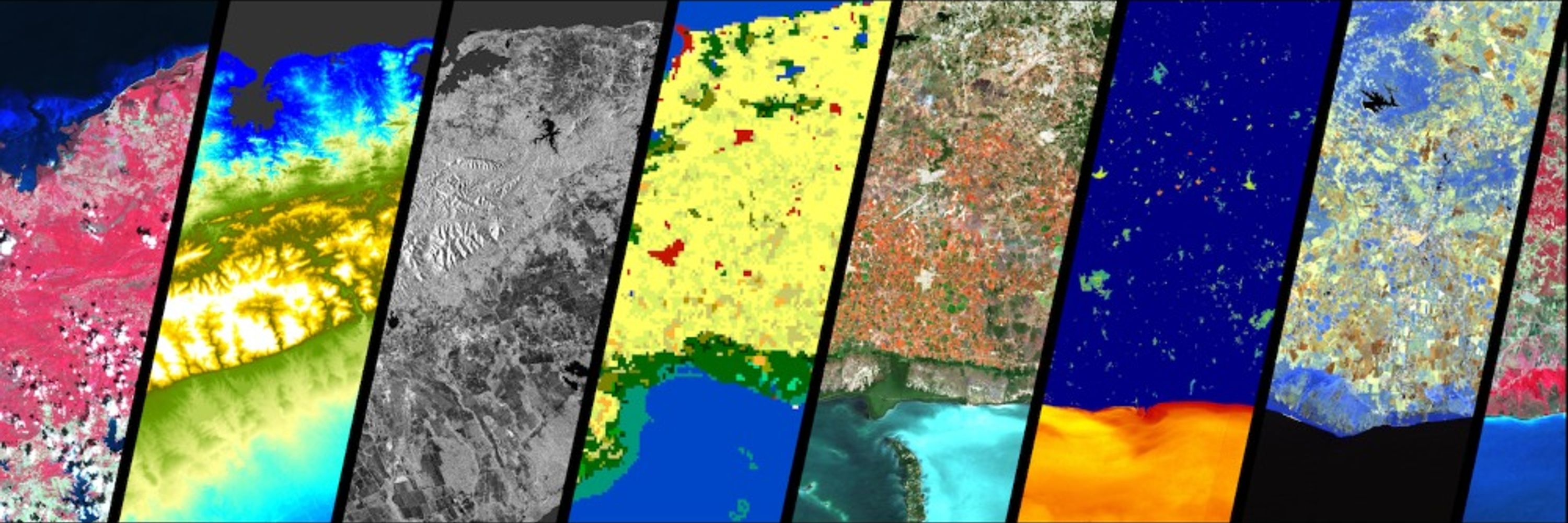
Coding #Python directly in #esa #SNAP. You don't need snappy/jpy or a docker image. Here a graph is executed, and the result is opened in SNAP. #earthobservation #remotesensing @esa-snap.bsky.social
August 26, 2025 at 6:44 AM
Coding #Python directly in #esa #SNAP. You don't need snappy/jpy or a docker image. Here a graph is executed, and the result is opened in SNAP. #earthobservation #remotesensing @esa-snap.bsky.social
Opening Session had not only the usual speeches like the one from Jospeh Aschbacher, but als a world premiere. Satellite data turned into music and dance. This is probably how satellites feel. Performance by: ars.electronica.art/solutions/de/
#LPS25 #EarthObservation
#LPS25 #EarthObservation
June 23, 2025 at 10:18 AM
Opening Session had not only the usual speeches like the one from Jospeh Aschbacher, but als a world premiere. Satellite data turned into music and dance. This is probably how satellites feel. Performance by: ars.electronica.art/solutions/de/
#LPS25 #EarthObservation
#LPS25 #EarthObservation
Have you seen 𝐒𝐞𝐧𝐭𝐢𝐕𝐢𝐬𝐭𝐚 already?
It shows great examples of #Sentinel Data applications🌍 and nice 3D models of the satellites �›°️
buff.ly/41BFWtZ
#remotesensing #earthobs
February 28, 2025 at 8:39 AM
Have you seen 𝐒𝐞𝐧𝐭𝐢𝐕𝐢𝐬𝐭𝐚 already?
It shows great examples of #Sentinel Data applications🌍 and nice 3D models of the satellites �›°️
buff.ly/41BFWtZ
#remotesensing #earthobs
The HEDAVI (HEritage DAta VIsualisation) (buff.ly/43iwBbA ) platform now provides access to Sentinel-2 L1c and L2a data, also the Sentinel-2 Cloudless basemaps is available and a new Water Quality Index.
buff.ly/43exYrO
buff.ly/43exYrO
February 28, 2025 at 8:27 AM
The HEDAVI (HEritage DAta VIsualisation) (buff.ly/43iwBbA ) platform now provides access to Sentinel-2 L1c and L2a data, also the Sentinel-2 Cloudless basemaps is available and a new Water Quality Index.
buff.ly/43exYrO
buff.ly/43exYrO
🌊 Discover the Coastal Map by EOMasters! The high-resolution map provides indicators for coastal areas, supporting diverse ecosystems. Perfect for researchers, environmentalists, and policymakers. Explore more here https://buff.ly/3EAqwx3
#CoastalMap #Sustainability #ClimateAction #EarthObservation
#CoastalMap #Sustainability #ClimateAction #EarthObservation
February 12, 2025 at 9:01 AM
🌊 Discover the Coastal Map by EOMasters! The high-resolution map provides indicators for coastal areas, supporting diverse ecosystems. Perfect for researchers, environmentalists, and policymakers. Explore more here https://buff.ly/3EAqwx3
#CoastalMap #Sustainability #ClimateAction #EarthObservation
#CoastalMap #Sustainability #ClimateAction #EarthObservation