

Dave MacLean
@daveatcogs.bsky.social
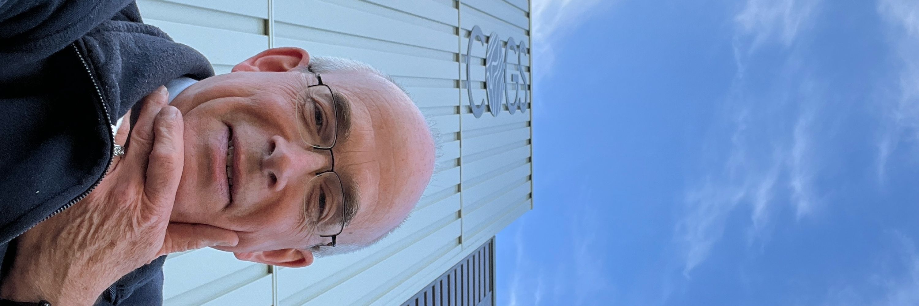
GIS Faculty, Centre of Geographic Sciences (COGS); Fellow, Royal Canadian Geographical Society; co-Director, Esri Canada Centre of Excellence (COGS). My posts
Just getting started on bluesky
Astronaut photos-of-Earth maps: https://isspix.com/MapTourHowTo
Just getting started on bluesky
Astronaut photos-of-Earth maps: https://isspix.com/MapTourHowTo
Quote-post @huubeggen.bsky.social: another 👇 in Huub's #25YearsOnISS series of pic.
In the way south #AtlanticOcean north of #SouthGeorgia Island, on the interactive map isspix.com/ISS073, there is a pin for Huub's post; it also has link to the downloadable 180-mm high-res
In the way south #AtlanticOcean north of #SouthGeorgia Island, on the interactive map isspix.com/ISS073, there is a pin for Huub's post; it also has link to the downloadable 180-mm high-res

November 10, 2025 at 6:24 PM
Quote-post @huubeggen.bsky.social: another 👇 in Huub's #25YearsOnISS series of pic.
In the way south #AtlanticOcean north of #SouthGeorgia Island, on the interactive map isspix.com/ISS073, there is a pin for Huub's post; it also has link to the downloadable 180-mm high-res
In the way south #AtlanticOcean north of #SouthGeorgia Island, on the interactive map isspix.com/ISS073, there is a pin for Huub's post; it also has link to the downloadable 180-mm high-res
Yours is a really nice map demonstrating Accessibility for #30DayMapChallenge. FYI: here is an astronaut photo of the Korean Peninsula at night, taken 30 Jan 2014. Original (Nikon D3S, 24 mm) and your post are available via pins on the interactive map isspix.com/ISS073

November 8, 2025 at 7:50 PM
Yours is a really nice map demonstrating Accessibility for #30DayMapChallenge. FYI: here is an astronaut photo of the Korean Peninsula at night, taken 30 Jan 2014. Original (Nikon D3S, 24 mm) and your post are available via pins on the interactive map isspix.com/ISS073
Quote-post @huubeggen.bsky.social: the 5th 👇 in Huub's #25YearsOnISS series of pic.
Click & #ZoomWAYin on the western #Texas pin on the interactive map isspix.com/ISS073 for Huub's post; it also has link to the downloadable 800(!)-mm high-res
Click & #ZoomWAYin on the western #Texas pin on the interactive map isspix.com/ISS073 for Huub's post; it also has link to the downloadable 800(!)-mm high-res
November 8, 2025 at 12:50 AM
Quote-post @huubeggen.bsky.social: the 5th 👇 in Huub's #25YearsOnISS series of pic.
Click & #ZoomWAYin on the western #Texas pin on the interactive map isspix.com/ISS073 for Huub's post; it also has link to the downloadable 800(!)-mm high-res
Click & #ZoomWAYin on the western #Texas pin on the interactive map isspix.com/ISS073 for Huub's post; it also has link to the downloadable 800(!)-mm high-res
Head into !ndigo on Chain Lake Dr in #Halifax and find signed copies of @cmdr-hadfield.bsky.social ‘s recently released #FinalOrbit book.
I know there’s one at our house, wrapped for #Christmas, and I look forward to reading it!
I know there’s one at our house, wrapped for #Christmas, and I look forward to reading it!

November 7, 2025 at 3:41 PM
Head into !ndigo on Chain Lake Dr in #Halifax and find signed copies of @cmdr-hadfield.bsky.social ‘s recently released #FinalOrbit book.
I know there’s one at our house, wrapped for #Christmas, and I look forward to reading it!
I know there’s one at our house, wrapped for #Christmas, and I look forward to reading it!
Quote-post @huubeggen.bsky.social: another 👇 in Huub's #25YearsOnISS picture series.
Along the coast of #Argentina on the interactive map isspix.com/ISS073, there is a pin for Huub's post; it also has link to the downloadable 180-mm high-res
Along the coast of #Argentina on the interactive map isspix.com/ISS073, there is a pin for Huub's post; it also has link to the downloadable 180-mm high-res
November 6, 2025 at 9:11 PM
Quote-post @huubeggen.bsky.social: another 👇 in Huub's #25YearsOnISS picture series.
Along the coast of #Argentina on the interactive map isspix.com/ISS073, there is a pin for Huub's post; it also has link to the downloadable 180-mm high-res
Along the coast of #Argentina on the interactive map isspix.com/ISS073, there is a pin for Huub's post; it also has link to the downloadable 180-mm high-res
Nice #GeoQuiz :)
There are 4 pins on the interactive map isspix.com/ISS073 for your post.
"Vaguely speaking" - so others can do your quiz - they are: western #Canada, near enough to #Australia, somewhere in southern #Africa, & around central #Africa.
CC: @gusises.bsky.social @diack.bsky.social
There are 4 pins on the interactive map isspix.com/ISS073 for your post.
"Vaguely speaking" - so others can do your quiz - they are: western #Canada, near enough to #Australia, somewhere in southern #Africa, & around central #Africa.
CC: @gusises.bsky.social @diack.bsky.social
November 1, 2025 at 3:17 PM
Nice #GeoQuiz :)
There are 4 pins on the interactive map isspix.com/ISS073 for your post.
"Vaguely speaking" - so others can do your quiz - they are: western #Canada, near enough to #Australia, somewhere in southern #Africa, & around central #Africa.
CC: @gusises.bsky.social @diack.bsky.social
There are 4 pins on the interactive map isspix.com/ISS073 for your post.
"Vaguely speaking" - so others can do your quiz - they are: western #Canada, near enough to #Australia, somewhere in southern #Africa, & around central #Africa.
CC: @gusises.bsky.social @diack.bsky.social
Some student-carved #Jack-O-Lanterns at #COGS … I especially like the one showing me which way is North!


October 31, 2025 at 3:52 PM
Some student-carved #Jack-O-Lanterns at #COGS … I especially like the one showing me which way is North!
There is a heavy mist - it’s pretty much fog - at Paradise, #NovaScotia, this morning.

October 30, 2025 at 12:28 PM
There is a heavy mist - it’s pretty much fog - at Paradise, #NovaScotia, this morning.
I saw #CopernicusEU tweet "Rising to 2 022 metres, Mont Idoukal-n-Taghès is the highest peak in Niger & a prominent feature of the Aïr Massif...", so I looked for recent #astronaut pics of the region. These two are by #DonPettit. There are three #Niger pins on isspix.com/ISS072 for these. (See alt)


October 28, 2025 at 2:32 PM
I saw #CopernicusEU tweet "Rising to 2 022 metres, Mont Idoukal-n-Taghès is the highest peak in Niger & a prominent feature of the Aïr Massif...", so I looked for recent #astronaut pics of the region. These two are by #DonPettit. There are three #Niger pins on isspix.com/ISS072 for these. (See alt)
2/2 Here's a sense of what that interactive map (isspix.com/ISS071; best on a computer) looks like (more in alt-text)

October 26, 2025 at 1:03 AM
2/2 Here's a sense of what that interactive map (isspix.com/ISS071; best on a computer) looks like (more in alt-text)
2/2 ... as the #SpaceWalk was during mission 46, there is a clickable pin at the same location on isspix.com/SKyis (third tab) - the map for images taken during that mission

October 21, 2025 at 7:42 PM
2/2 ... as the #SpaceWalk was during mission 46, there is a clickable pin at the same location on isspix.com/SKyis (third tab) - the map for images taken during that mission
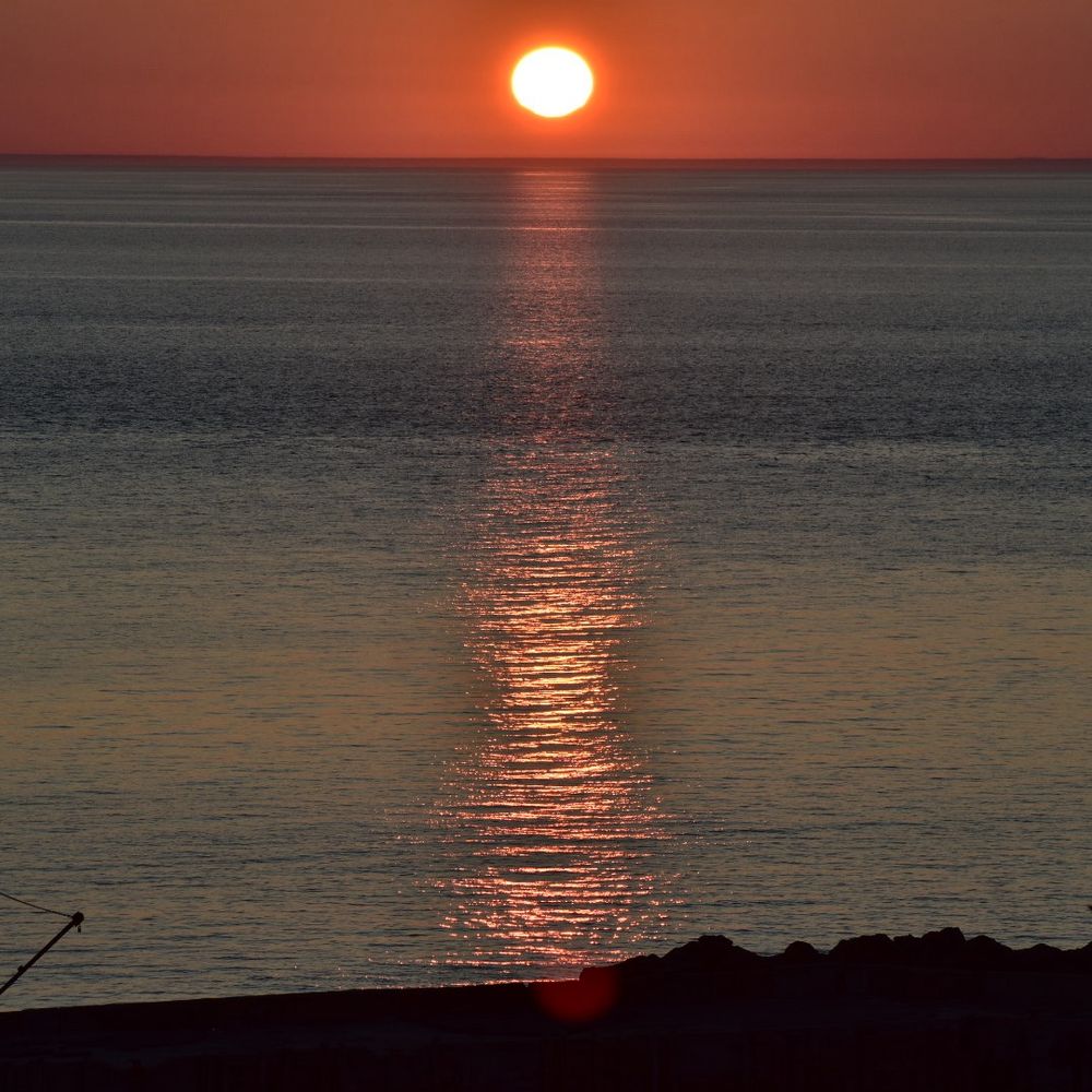
Naturally enjoying this weekend in SE BC (more in alt)


October 18, 2025 at 11:10 PM
Naturally enjoying this weekend in SE BC (more in alt)
Blue sky foe bluesky
Parson, British Columbia; iPhone pic today, 17 Oct 2025
(More in alt)
Parson, British Columbia; iPhone pic today, 17 Oct 2025
(More in alt)

October 17, 2025 at 10:26 PM
Blue sky foe bluesky
Parson, British Columbia; iPhone pic today, 17 Oct 2025
(More in alt)
Parson, British Columbia; iPhone pic today, 17 Oct 2025
(More in alt)

Bonus: oh gosh, here's a better image for the Year-in-Space map - gives the ides of the look of the app (best on a computer; more in alt-text, too)
October 15, 2025 at 3:33 PM
Bonus: oh gosh, here's a better image for the Year-in-Space map - gives the ides of the look of the app (best on a computer; more in alt-text, too)
And here is a map-app featuring his orbital chart (as background image; original is in our map library) along with other Friendship 7-related information: isspix.com/GlennPlusISS Mire in alt-text

October 15, 2025 at 3:00 AM
And here is a map-app featuring his orbital chart (as background image; original is in our map library) along with other Friendship 7-related information: isspix.com/GlennPlusISS Mire in alt-text
Do you see the lighter shades towards left / slightly darker towards right on this? Kind of a diagonal line demarcating them, too? That line is pretty much the border of #Angola (right) and #Namibia. Click for complete pic and more info in alt-text. Original high-res available on isspix.com/ISS073

October 2, 2025 at 6:03 PM
Do you see the lighter shades towards left / slightly darker towards right on this? Kind of a diagonal line demarcating them, too? That line is pretty much the border of #Angola (right) and #Namibia. Click for complete pic and more info in alt-text. Original high-res available on isspix.com/ISS073
2/2
As that photo was taken during ||+|| mission 34, there is also a pin on the map isspix.com/ISSImagesMap..., with similar links to downloadable 24-mm high-res and the article. Pin is about 500 km off the coast of #Japan
As that photo was taken during ||+|| mission 34, there is also a pin on the map isspix.com/ISSImagesMap..., with similar links to downloadable 24-mm high-res and the article. Pin is about 500 km off the coast of #Japan

October 1, 2025 at 8:00 PM
2/2
As that photo was taken during ||+|| mission 34, there is also a pin on the map isspix.com/ISSImagesMap..., with similar links to downloadable 24-mm high-res and the article. Pin is about 500 km off the coast of #Japan
As that photo was taken during ||+|| mission 34, there is also a pin on the map isspix.com/ISSImagesMap..., with similar links to downloadable 24-mm high-res and the article. Pin is about 500 km off the coast of #Japan
Just a few hours ago, International Space Station’s orbit aligned such that NASA astronaut #JonnyKim took pictures of #HurricaneHumberto; this is one that he tweeted.
There are 2 blue-JK pins on the map isspix.com/ISS073 for this: 1 near #Grenada (his location at photo time), has hint for the other
There are 2 blue-JK pins on the map isspix.com/ISS073 for this: 1 near #Grenada (his location at photo time), has hint for the other

September 28, 2025 at 1:22 AM
Just a few hours ago, International Space Station’s orbit aligned such that NASA astronaut #JonnyKim took pictures of #HurricaneHumberto; this is one that he tweeted.
There are 2 blue-JK pins on the map isspix.com/ISS073 for this: 1 near #Grenada (his location at photo time), has hint for the other
There are 2 blue-JK pins on the map isspix.com/ISS073 for this: 1 near #Grenada (his location at photo time), has hint for the other
Photographed by an external camera on the International Space Station, this is Northrop Grumman's Cygnus XL cargo craft. Looking carefully at the original, a road near #Chior & #Hongor, #Mongolia is evident. A map-pin is "at that spot" & has high-res link on isspix.com/ISS073. More in alt-txt

September 23, 2025 at 6:23 PM
Photographed by an external camera on the International Space Station, this is Northrop Grumman's Cygnus XL cargo craft. Looking carefully at the original, a road near #Chior & #Hongor, #Mongolia is evident. A map-pin is "at that spot" & has high-res link on isspix.com/ISS073. More in alt-txt
…and, there is a clickable pin on the interactive map isspix.com/ISSImagesMap... in #FallRiver, #NovaScotia for his tweet regarding that experiment! #ZoomWAYin

September 21, 2025 at 3:38 AM
…and, there is a clickable pin on the interactive map isspix.com/ISSImagesMap... in #FallRiver, #NovaScotia for his tweet regarding that experiment! #ZoomWAYin
Oops — pic again, this time with alt-text

September 13, 2025 at 12:13 PM
Oops — pic again, this time with alt-text
Nice Gigantic Jet Lightning pic for sure!
FYI: of the four map pins just off the west coast of #Mexico on isspix.com/ISS073, the rightmost one is located where the ISS was at photo time and has the link to downloadable high-res image
FYI: of the four map pins just off the west coast of #Mexico on isspix.com/ISS073, the rightmost one is located where the ISS was at photo time and has the link to downloadable high-res image
September 13, 2025 at 12:06 PM
Nice Gigantic Jet Lightning pic for sure!
FYI: of the four map pins just off the west coast of #Mexico on isspix.com/ISS073, the rightmost one is located where the ISS was at photo time and has the link to downloadable high-res image
FYI: of the four map pins just off the west coast of #Mexico on isspix.com/ISS073, the rightmost one is located where the ISS was at photo time and has the link to downloadable high-res image
With the phrase "New York City, a beacon of resilience, shining beautiful & bright this morning from the ISS. Remembering & honoring the lives lost & forever changed. Nikon Z9 | 24/50/200mm, Sept 11, 2025", #NASA astronaut #JonnyKim tweeted this photo
More in alt; pinned on map isspix.com/ISS073
More in alt; pinned on map isspix.com/ISS073

September 11, 2025 at 8:51 PM
With the phrase "New York City, a beacon of resilience, shining beautiful & bright this morning from the ISS. Remembering & honoring the lives lost & forever changed. Nikon Z9 | 24/50/200mm, Sept 11, 2025", #NASA astronaut #JonnyKim tweeted this photo
More in alt; pinned on map isspix.com/ISS073
More in alt; pinned on map isspix.com/ISS073
Another from the #CitiesAtNight series, this time: #Shanghai. Original taken 24 August 2025, by JAXA astronaut #KimiyaYui. The 200-mm high-res is downloadable via a map-pin on isspix.com/ISS073.

September 9, 2025 at 8:40 PM
Another from the #CitiesAtNight series, this time: #Shanghai. Original taken 24 August 2025, by JAXA astronaut #KimiyaYui. The 200-mm high-res is downloadable via a map-pin on isspix.com/ISS073.