


@atlas-of-change.bsky.social
Sentinel 3 False colour images of Palisades Wildfire
January 13, 2025 at 9:18 AM
Sentinel 3 False colour images of Palisades Wildfire
Population density map of Los Angeles, showing people living with fire risk zones (2022)
Image credit and data processing: Atlas of Change
Data source: Humanitarian data exchange/ Meta for good
Image credit and data processing: Atlas of Change
Data source: Humanitarian data exchange/ Meta for good

January 12, 2025 at 11:59 AM
Population density map of Los Angeles, showing people living with fire risk zones (2022)
Image credit and data processing: Atlas of Change
Data source: Humanitarian data exchange/ Meta for good
Image credit and data processing: Atlas of Change
Data source: Humanitarian data exchange/ Meta for good
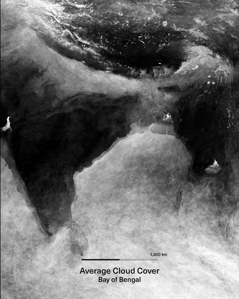
Cloud cover averaged over a year. While it is clouds that dominate the view, the faint outlines of continents and oceans emerge beneath.
Image credit and data processing:
Atlas of Change
Data source: MODIS, NASA, Google Earth Engine
Image credit and data processing:
Atlas of Change
Data source: MODIS, NASA, Google Earth Engine
January 11, 2025 at 10:01 AM
Cloud cover averaged over a year. While it is clouds that dominate the view, the faint outlines of continents and oceans emerge beneath.
Image credit and data processing:
Atlas of Change
Data source: MODIS, NASA, Google Earth Engine
Image credit and data processing:
Atlas of Change
Data source: MODIS, NASA, Google Earth Engine
Air Pollution in Northern India
17 Nov 2024
17 Nov 2024

November 17, 2024 at 6:34 PM
Air Pollution in Northern India
17 Nov 2024
17 Nov 2024