


Andreas Diemer
@andreasmdiemer.bsky.social
Researcher at Stockholm Uni SOFI (@sofi.su.se) and IFFS (@futures-studies.bsky.social). Econ Geo PhD from LSE. Interested in urban economics and regional science, peer and neighbourhood effects.
https://sites.google.com/view/andreasdiemer
https://sites.google.com/view/andreasdiemer
It uses centroids for any amenity represented by a polygon, including urban parks. But the very large ones are typically not urban parks so are not included in the analysis (see my other answer)
August 21, 2025 at 8:21 PM
It uses centroids for any amenity represented by a polygon, including urban parks. But the very large ones are typically not urban parks so are not included in the analysis (see my other answer)
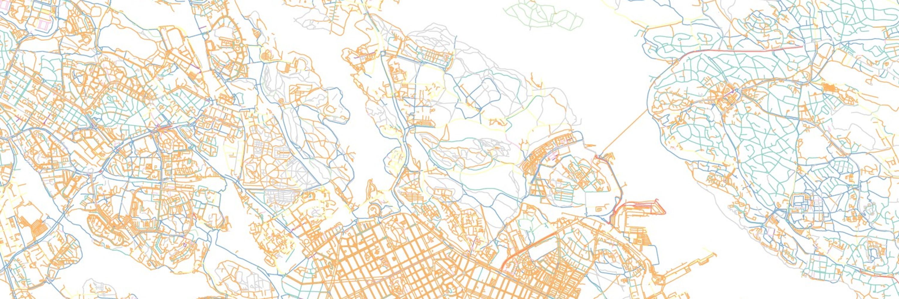
Thanks Ely! And yes, the map misses those. It considers urban parks (tag:leisure=park), but not green areas outside the strictly urban space (e.g., Nackareservated is tagged leisure=nature_reserve). I am still thinking about how to deal with those.
August 21, 2025 at 8:18 PM
Thanks Ely! And yes, the map misses those. It considers urban parks (tag:leisure=park), but not green areas outside the strictly urban space (e.g., Nackareservated is tagged leisure=nature_reserve). I am still thinking about how to deal with those.