


Steve Daniels
@steveddaniels.bsky.social
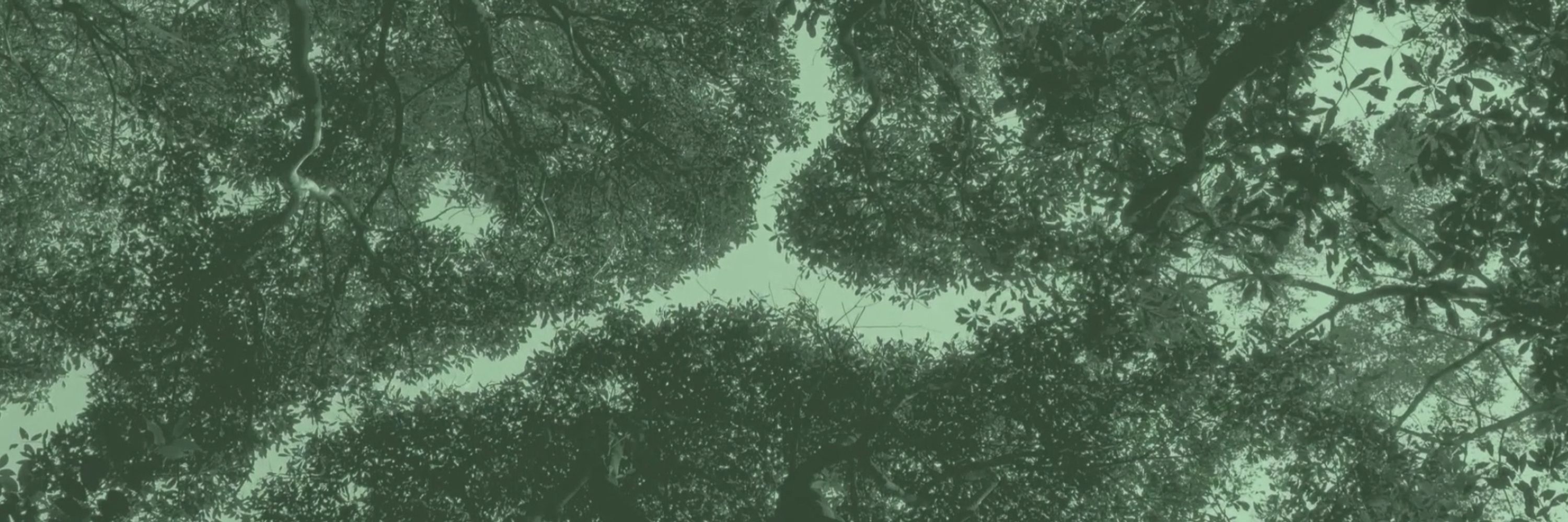
Climate mapper, scifi writer, sound artist, land steward
🌍🌲🔊🏳️🌈
Santa Cruz Mountains Bioregion / Ohlone Land
https://stevedaniels.space
🌍🌲🔊🏳️🌈
Santa Cruz Mountains Bioregion / Ohlone Land
https://stevedaniels.space
I’ve been quietly building Terrain, a tool for ecological intelligence.
Just ask: Where should I...
🔥 ...plan prescribed burns?
💧 ...collect stormwater?
🌱 ...create habitat corridors?
Terrain handles the data + analysis. You get clear maps.
Seeking California landscape planners to try it out!
Just ask: Where should I...
🔥 ...plan prescribed burns?
💧 ...collect stormwater?
🌱 ...create habitat corridors?
Terrain handles the data + analysis. You get clear maps.
Seeking California landscape planners to try it out!
August 26, 2025 at 12:25 PM
I’ve been quietly building Terrain, a tool for ecological intelligence.
Just ask: Where should I...
🔥 ...plan prescribed burns?
💧 ...collect stormwater?
🌱 ...create habitat corridors?
Terrain handles the data + analysis. You get clear maps.
Seeking California landscape planners to try it out!
Just ask: Where should I...
🔥 ...plan prescribed burns?
💧 ...collect stormwater?
🌱 ...create habitat corridors?
Terrain handles the data + analysis. You get clear maps.
Seeking California landscape planners to try it out!
It saddens me disaster after disaster to find that the more predictive modeling is privately owned, expensive, and serving finance and real estate. We need to fund better publicly available data. www.npr.org/2025/07/09/n...

New data reveals FEMA missed major flood risks at Camp Mystic
The data also highlights critical risks in other areas along the Guadalupe River in Kerr County, revealing more than twice as many Americans live in flood prone areas than FEMA's maps show.
www.npr.org
July 14, 2025 at 3:58 PM
It saddens me disaster after disaster to find that the more predictive modeling is privately owned, expensive, and serving finance and real estate. We need to fund better publicly available data. www.npr.org/2025/07/09/n...
Any self-respecting map of California will depict the Central Valley as a proper funnel. The best ignore political boundaries altogether.
1) Shaded Relief, 2021
2) Reinhabiting a Separate Country, 1978
3) Frisco Bay Mussel Group, 1977
#cartography #gis #maps #bioregionalism #california
1) Shaded Relief, 2021
2) Reinhabiting a Separate Country, 1978
3) Frisco Bay Mussel Group, 1977
#cartography #gis #maps #bioregionalism #california


July 13, 2025 at 7:16 PM
Any self-respecting map of California will depict the Central Valley as a proper funnel. The best ignore political boundaries altogether.
1) Shaded Relief, 2021
2) Reinhabiting a Separate Country, 1978
3) Frisco Bay Mussel Group, 1977
#cartography #gis #maps #bioregionalism #california
1) Shaded Relief, 2021
2) Reinhabiting a Separate Country, 1978
3) Frisco Bay Mussel Group, 1977
#cartography #gis #maps #bioregionalism #california